Find the place history remembers
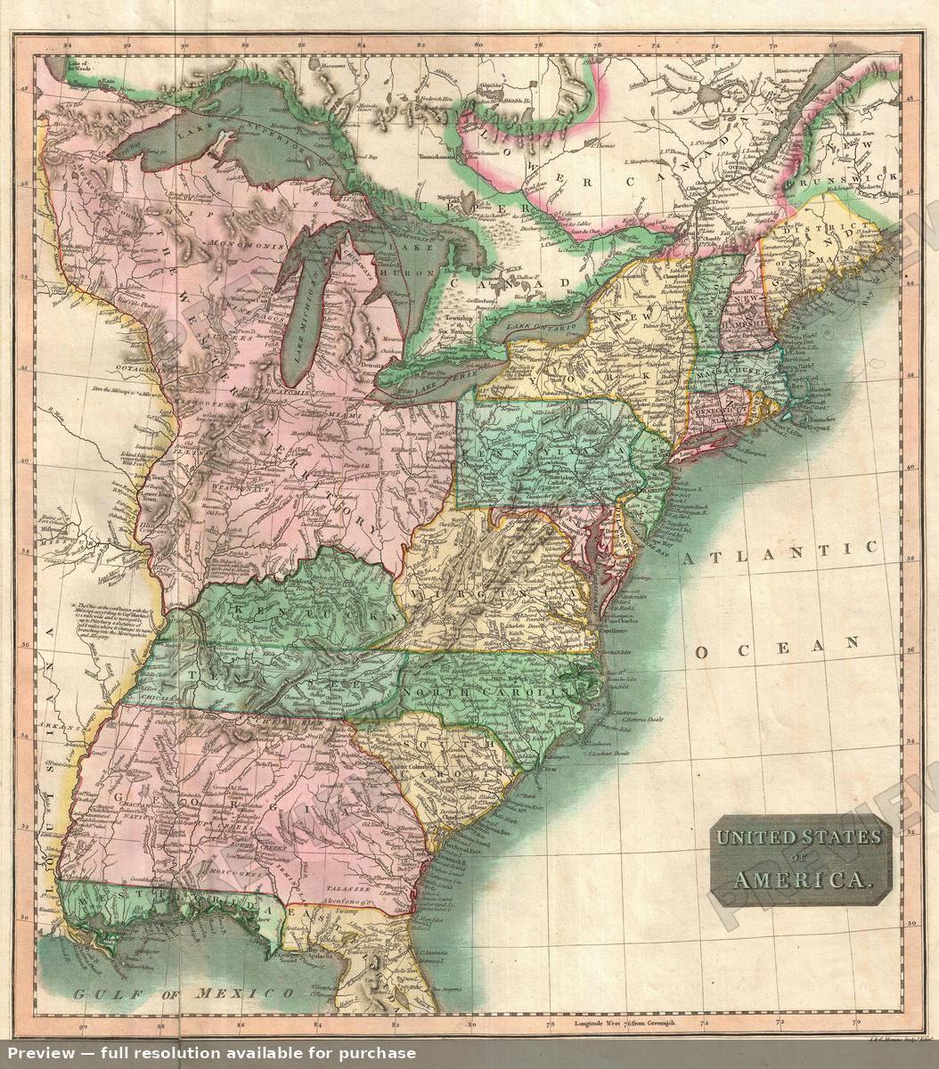
United States 2, 1814
Antique map, 1814 · Full-resolution download $4.99
- Location
- United States 2
- Country / region
- United States
- Year
- 1814
- Era
- 1800s
- Cartographer
- Thomson
- Catalogue no.
- M-07404
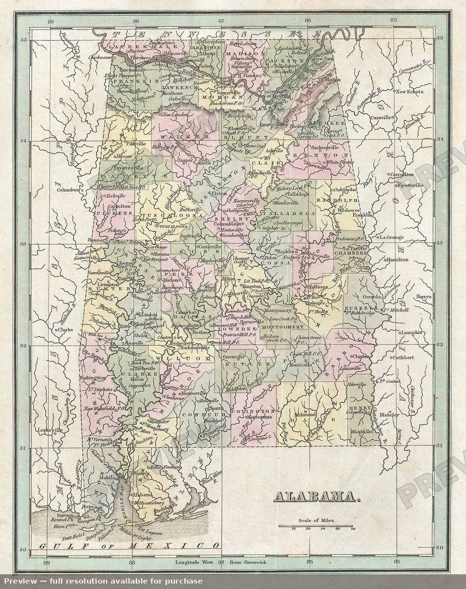
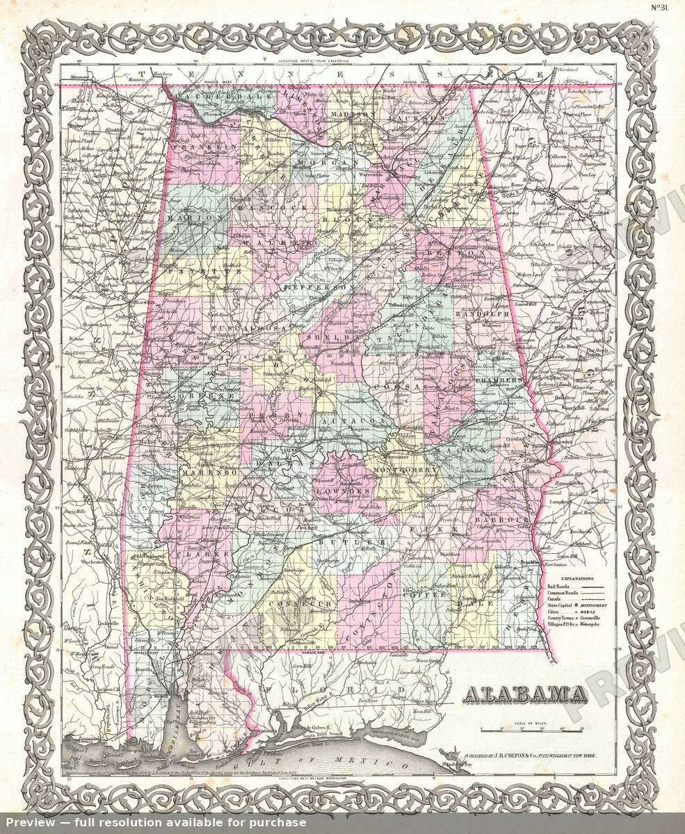
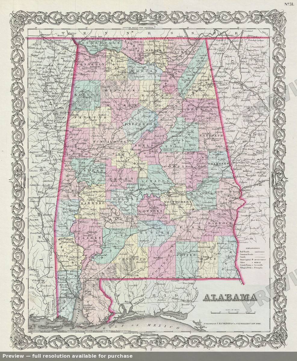
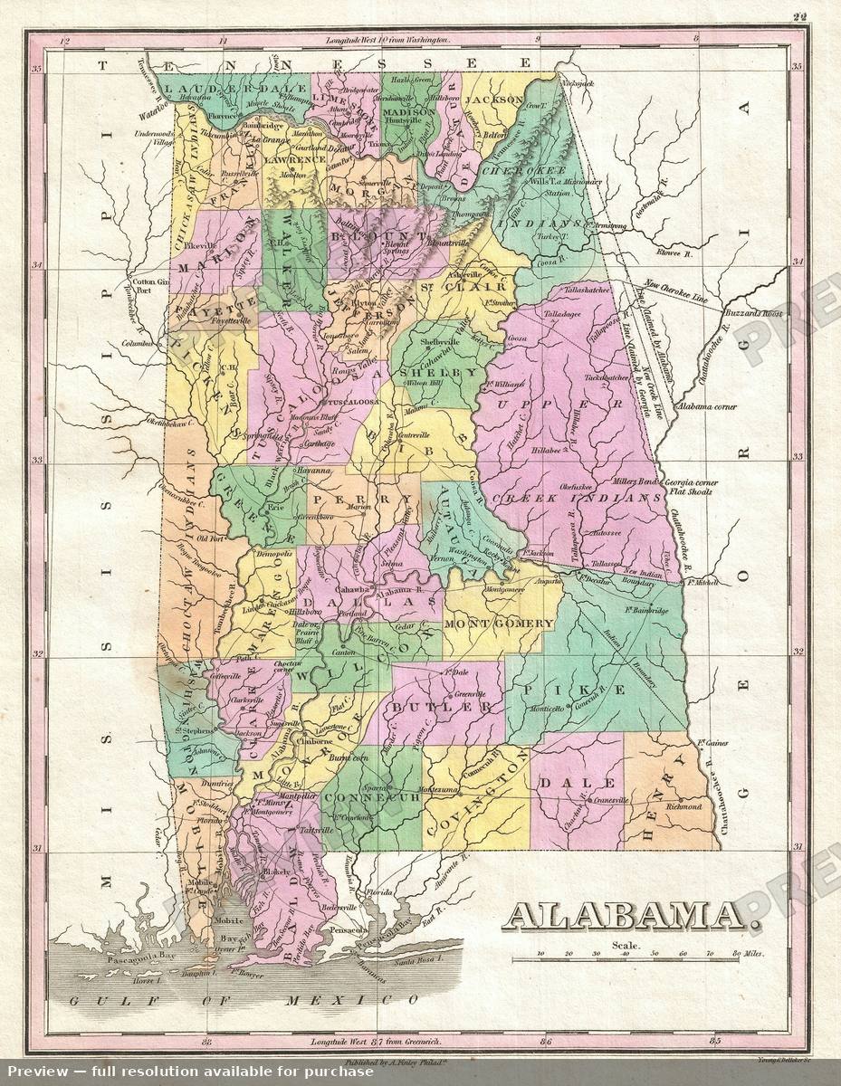
United States 2, 1814 is an antique map of United States 2, United States from the 1800s, drawn by Thomson and dated 1814. The preview shown here is watermarked and reduced in size; the Meridian download is the complete full-resolution scan — ready to print, frame, or use in research. Downloads are $4.99 each, or save with credit packs (credits never expire).
View in the gallery — download for $4.99You will be asked to sign in with your email (a sign-in link is sent — no password). Credit packs: 5 for $19.99, 20 for $59.99, 50 for $119.99.