Find the place history remembers
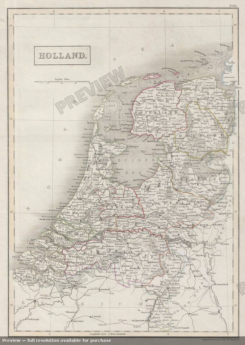
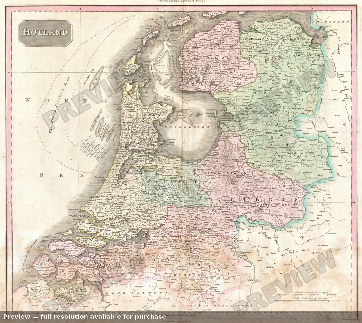
Holland, 1818
Antique map, 1818 · Full-resolution download $4.99
- Location
- Holland
- Country / region
- Netherlands
- Year
- 1818
- Era
- 1800s
- Cartographer
- Pinkerton
- Catalogue no.
- M-03198
Holland, 1818 is an antique map of Holland, Netherlands from the 1800s, drawn by Pinkerton and dated 1818. The preview shown here is watermarked and reduced in size; the Meridian download is the complete full-resolution scan — ready to print, frame, or use in research. Downloads are $4.99 each, or save with credit packs (credits never expire).
View in the gallery — download for $4.99You will be asked to sign in with your email (a sign-in link is sent — no password). Credit packs: 5 for $19.99, 20 for $59.99, 50 for $119.99.