Find the place history remembers
Antique Maps by Walker
63 antique maps in the Meridian library. Every map is available as a full-resolution download for $4.99 — the previews below are watermarked and reduced in size.
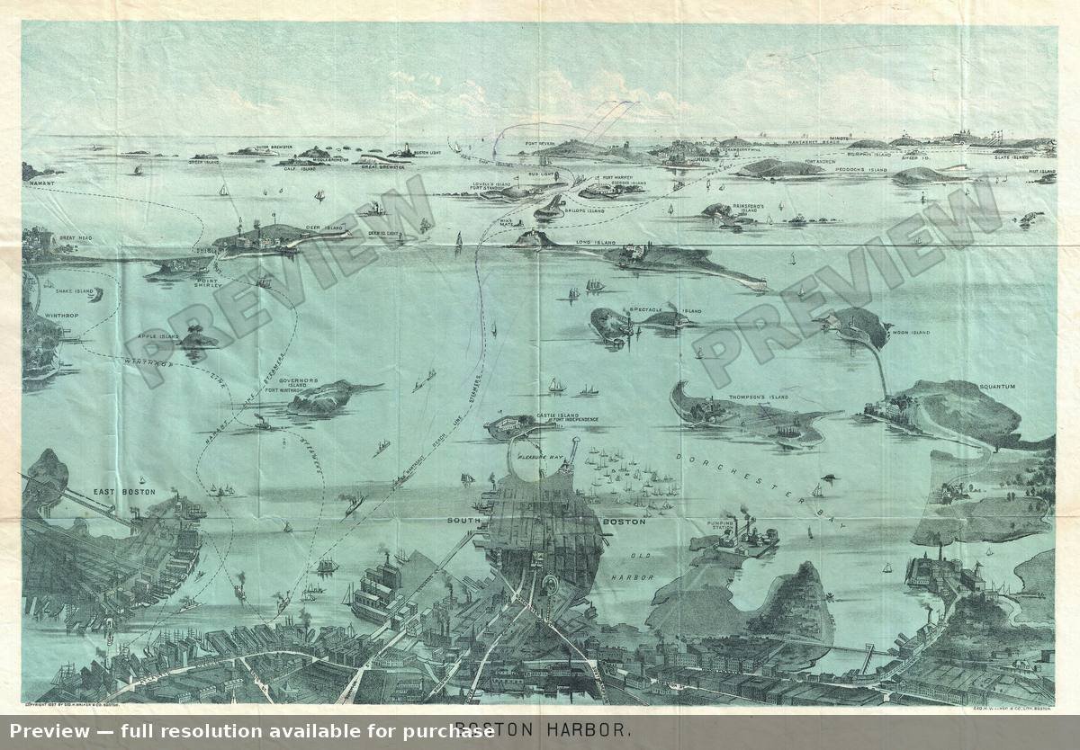 Boston, 1897
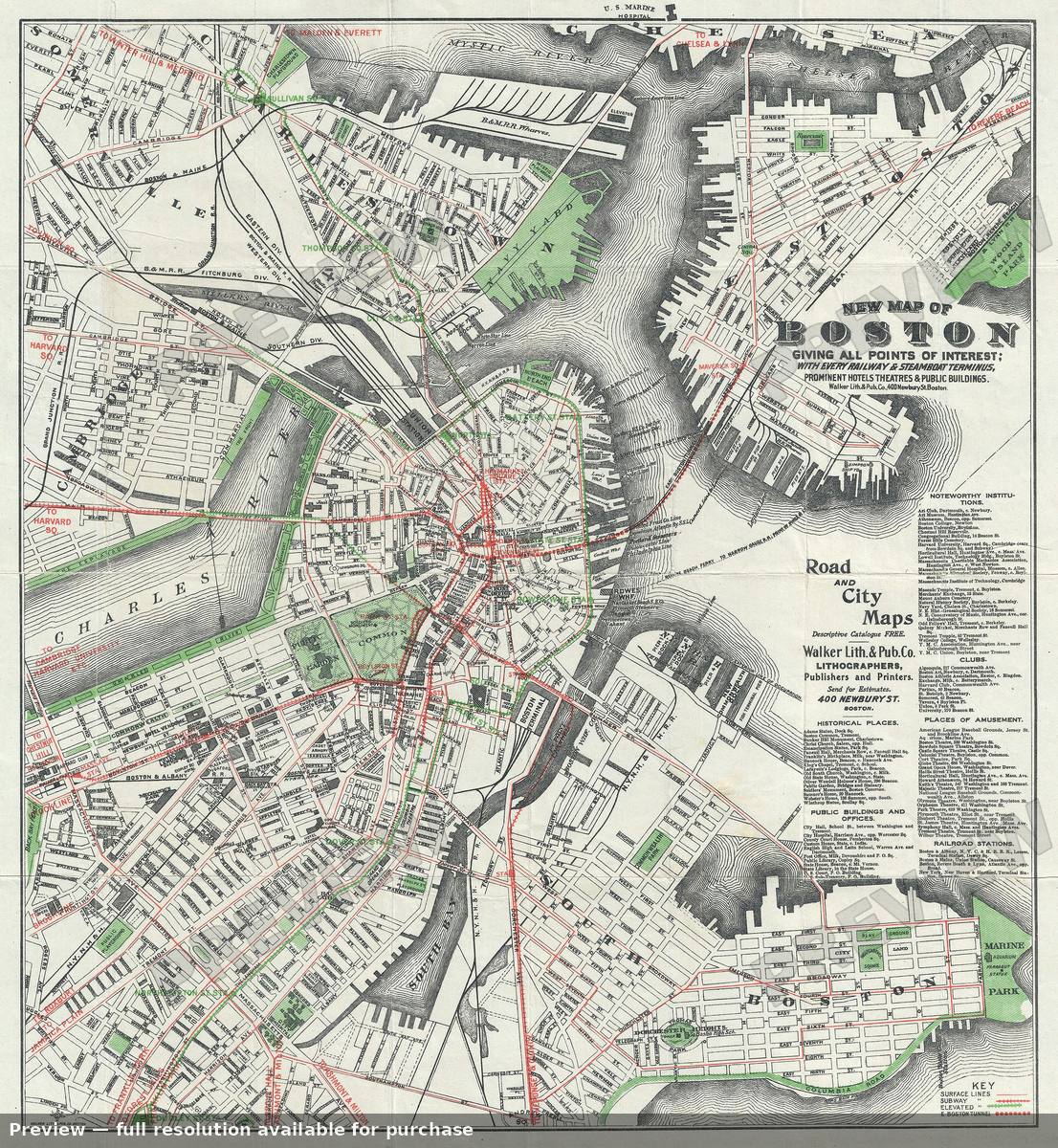 Boston, 1905
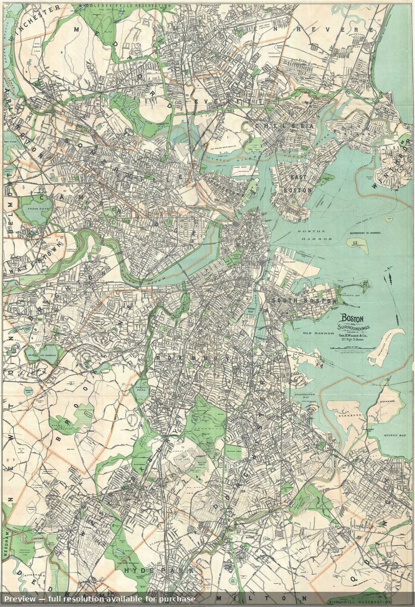 Boston, 1908
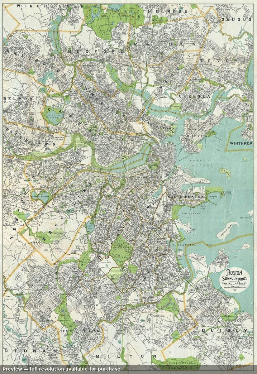 Boston, 1910
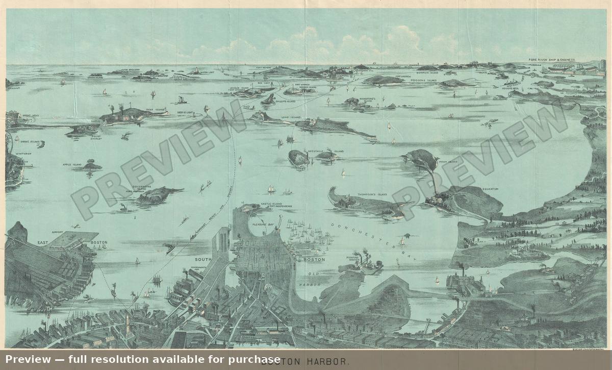 Boston, 1925
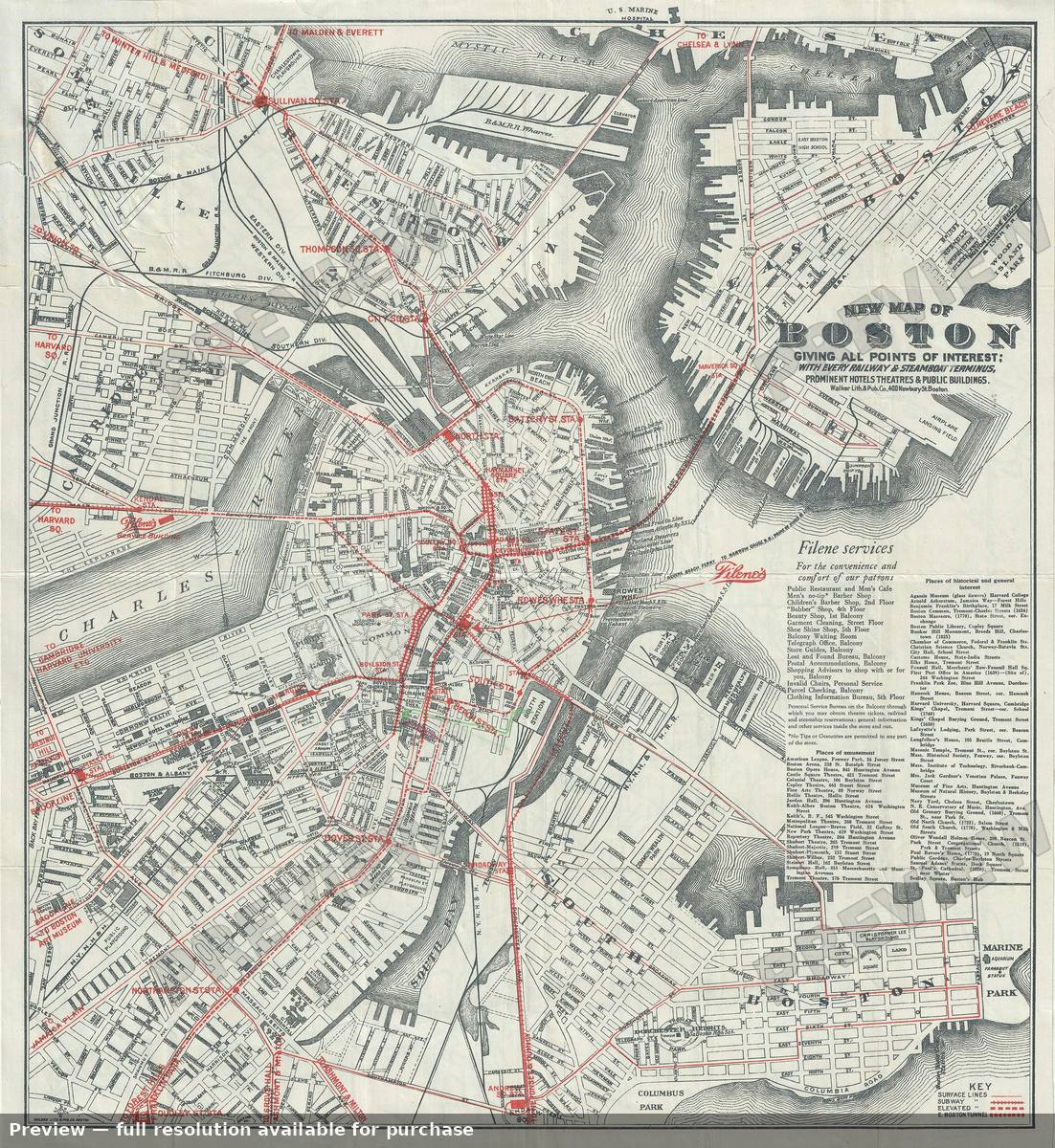 Boston, 1926
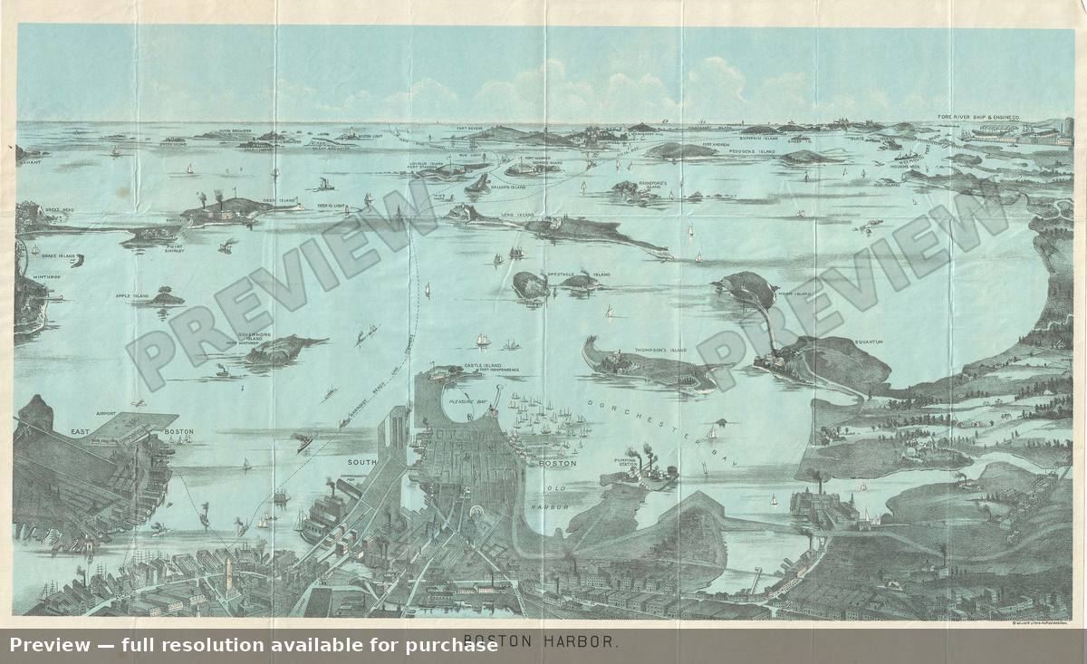 Boston Harbor 2, 1897
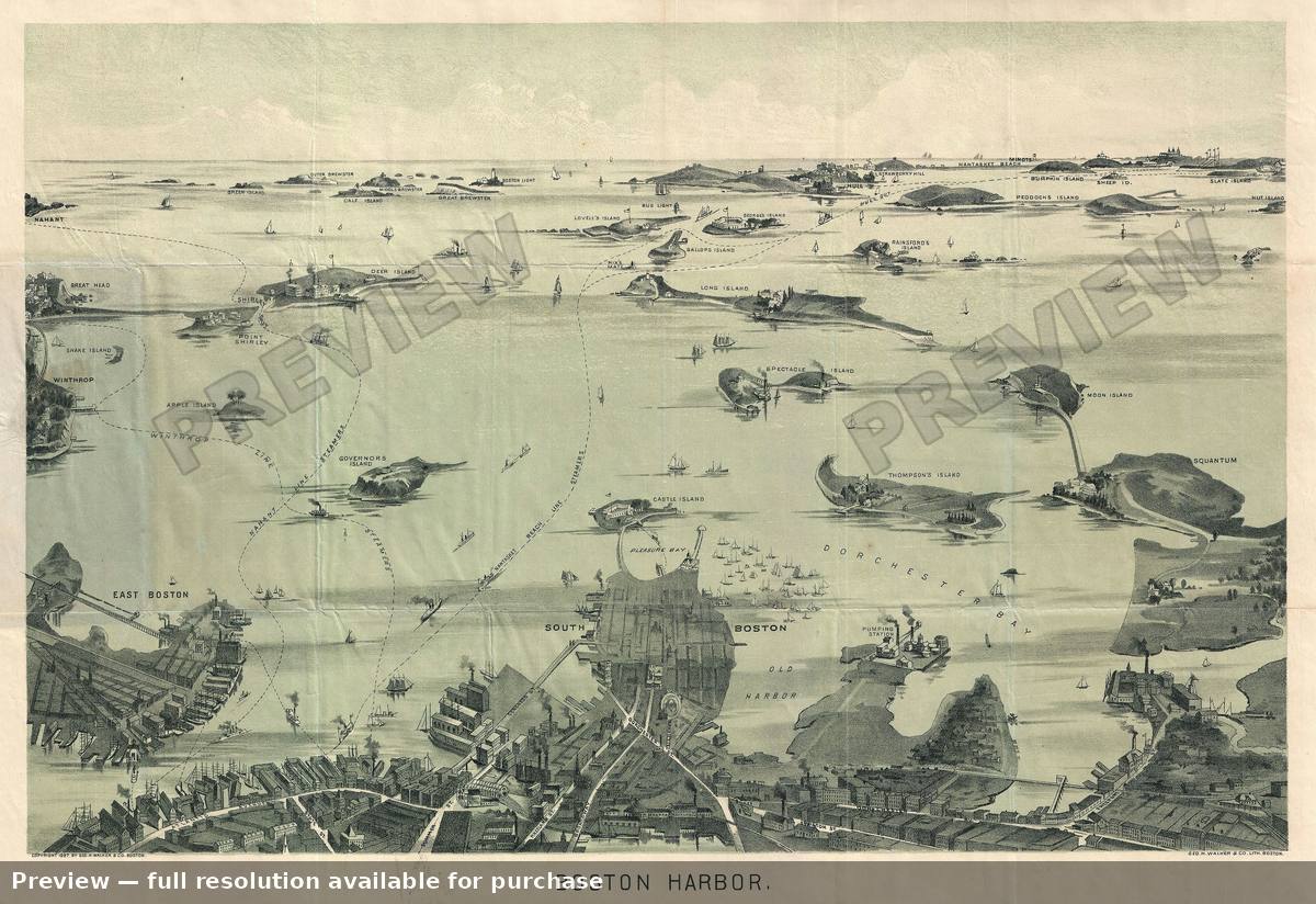 Boston Harbor View, 1897
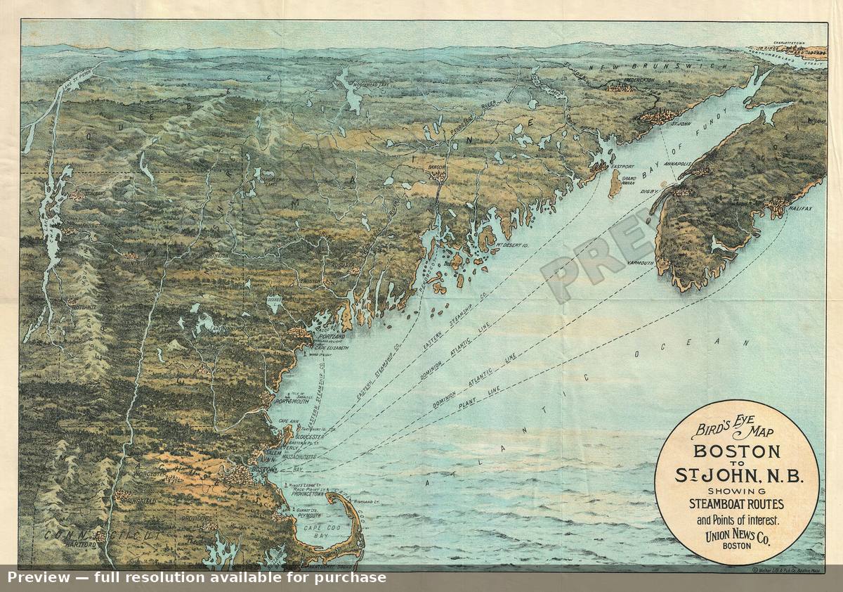 Boston Maine NB, 1900
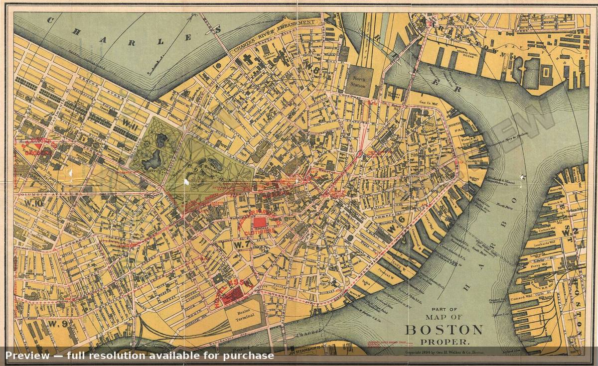 Boston Proper, 1894
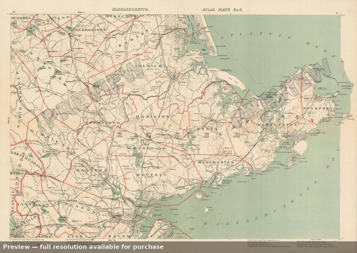 Cape Ann, 1891
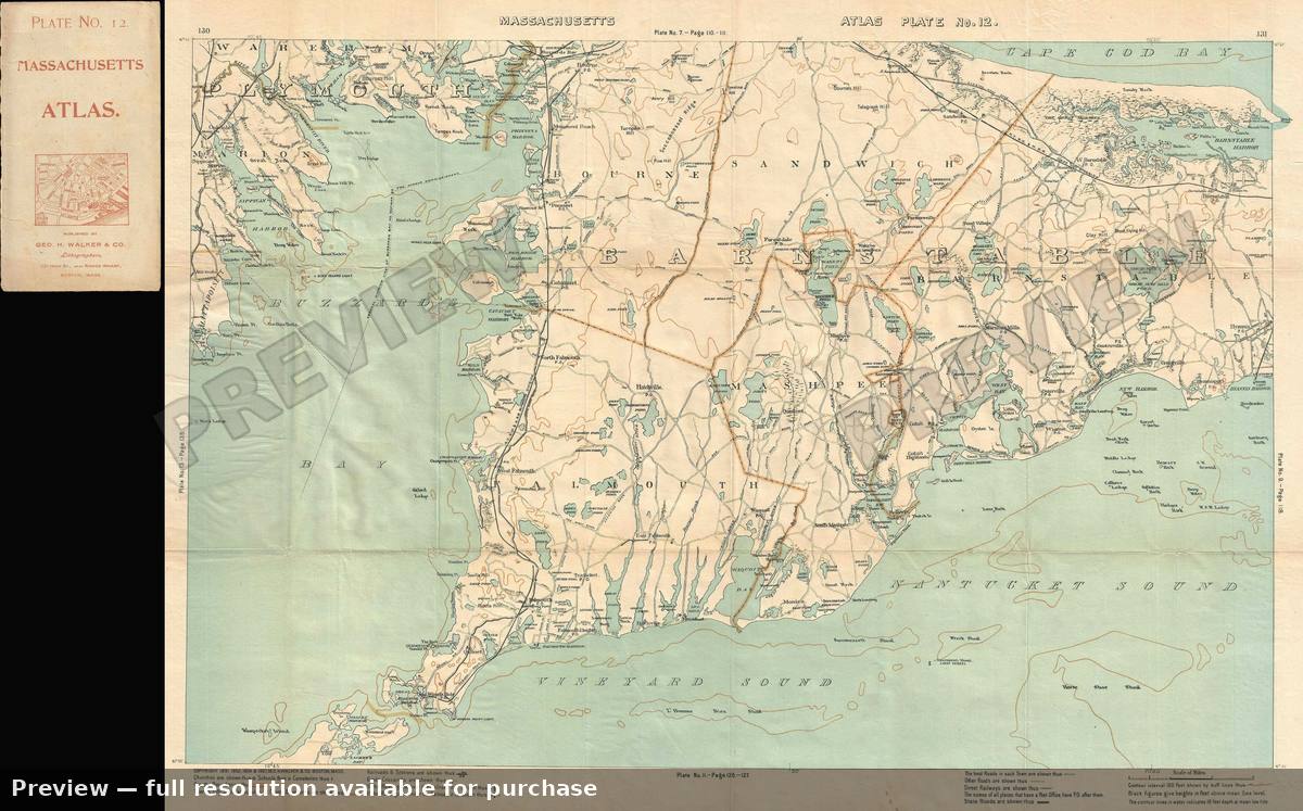 Cape Cod, 1907
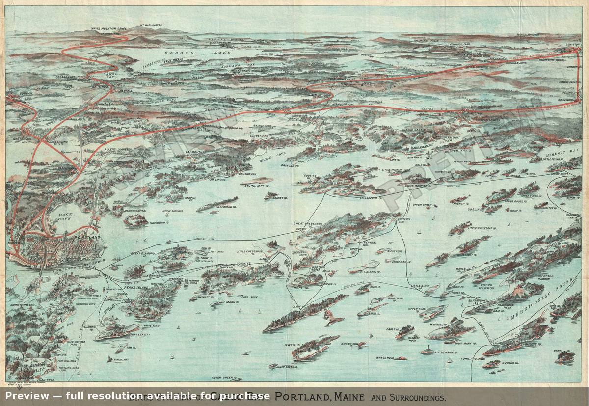 Casco Bay, 1906
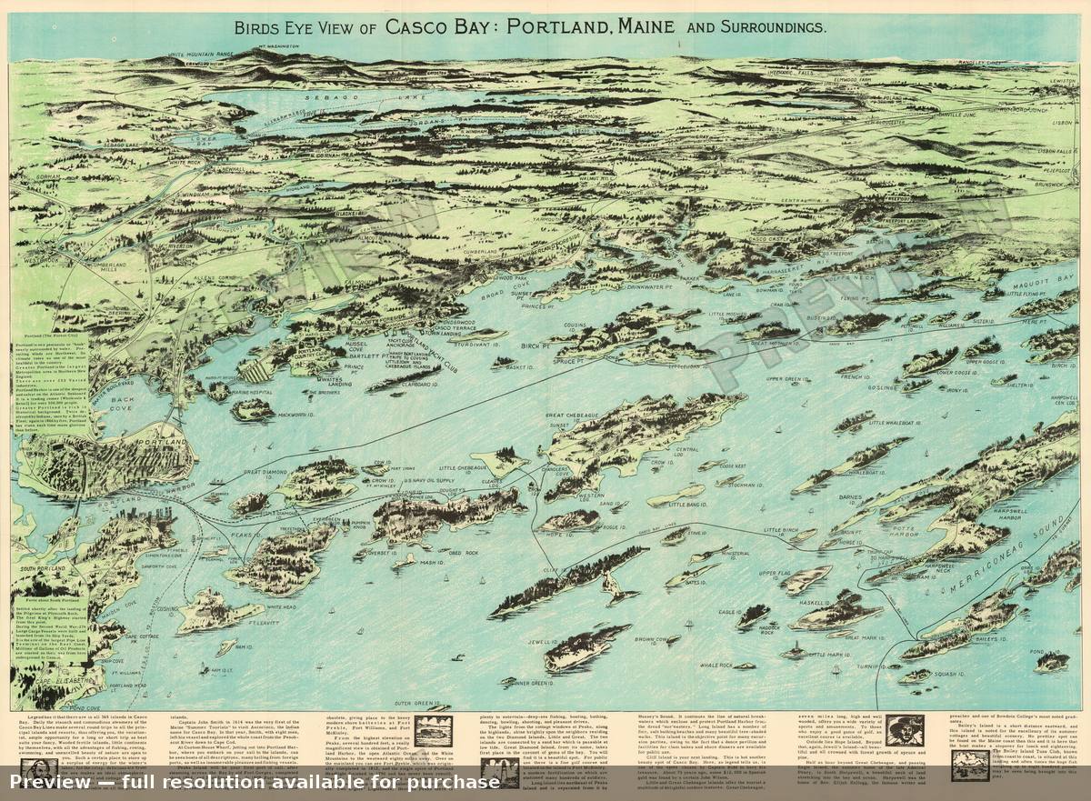 Casco Bay, 1950
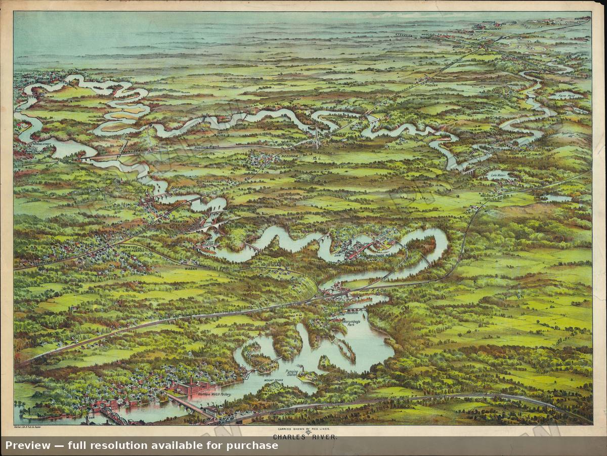 Charles River, 1907
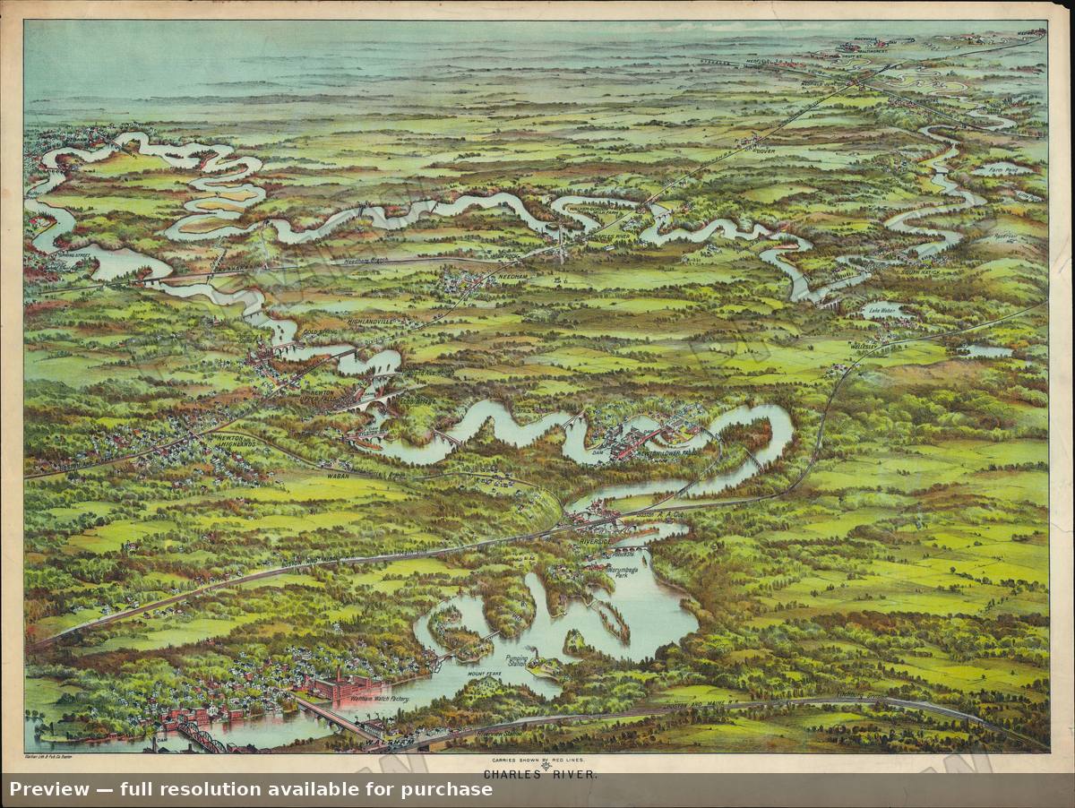 Charles River, 1907
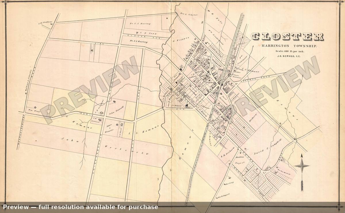 Closter NJ, 1876
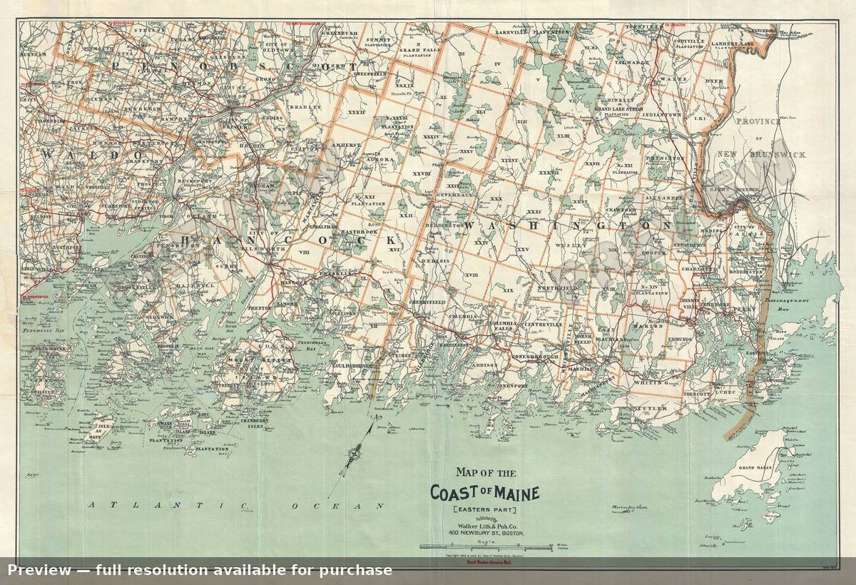 Coast Maine, 1910
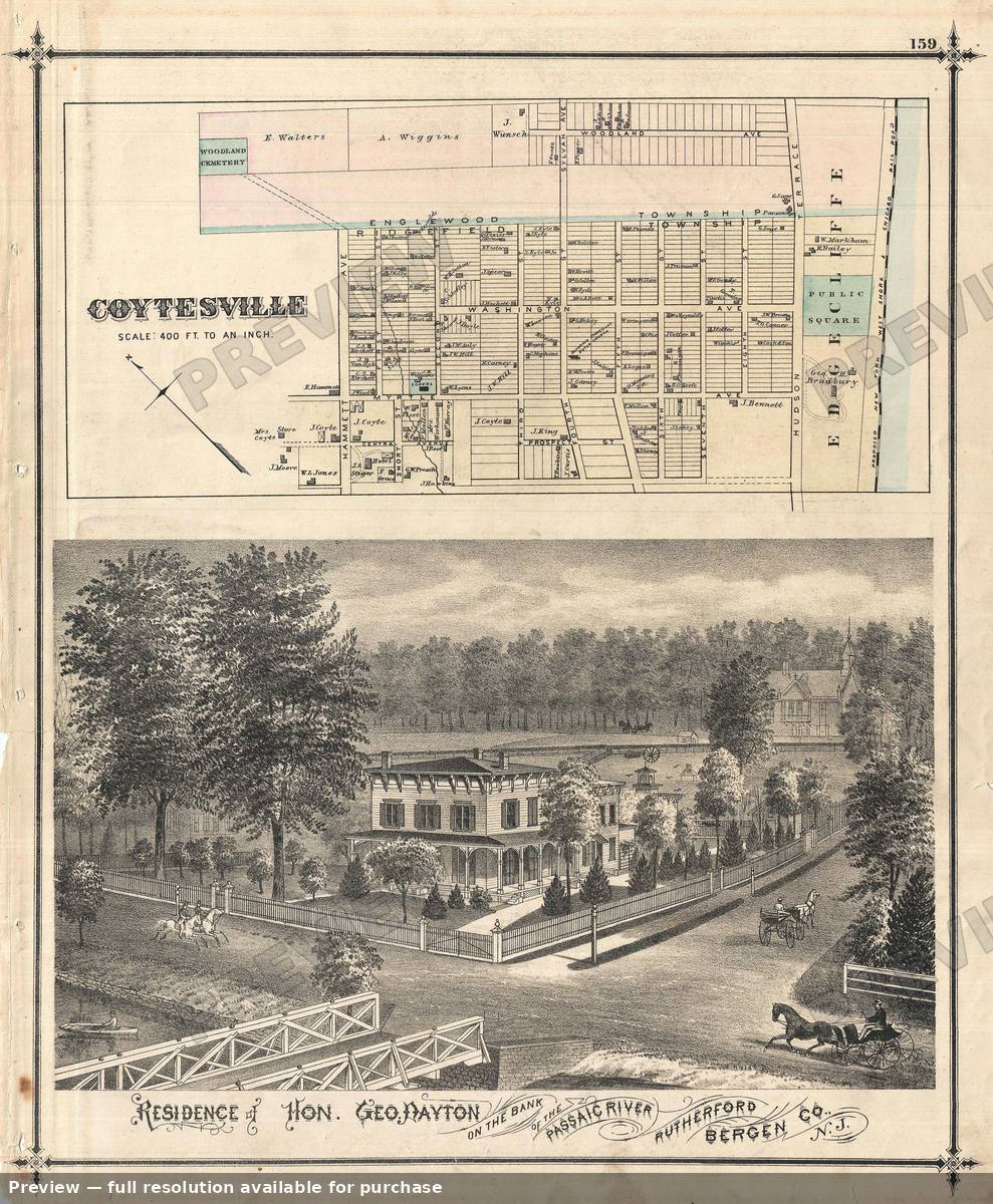 Coytesville, 1876
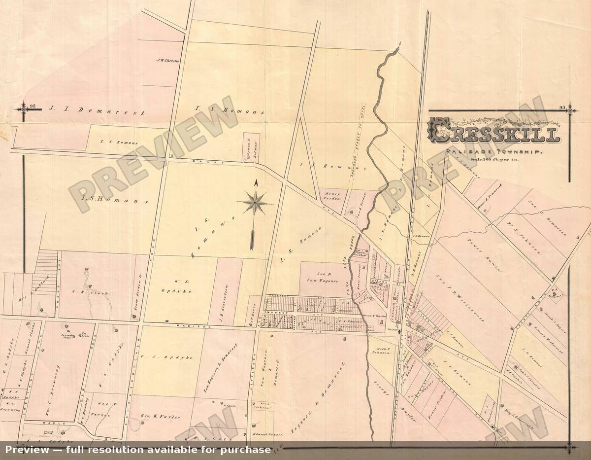 Cresskill, 1876
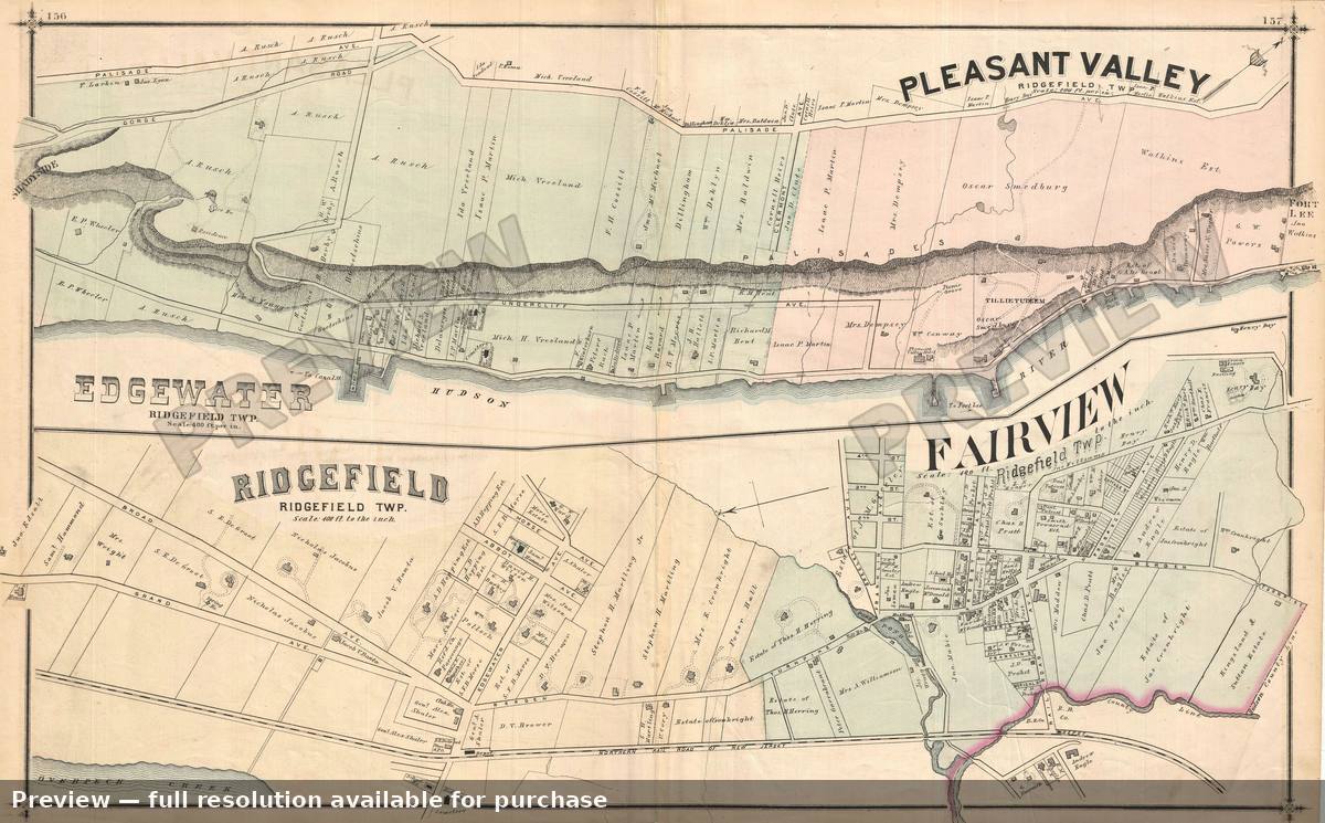 Edgwater Etc, 1876
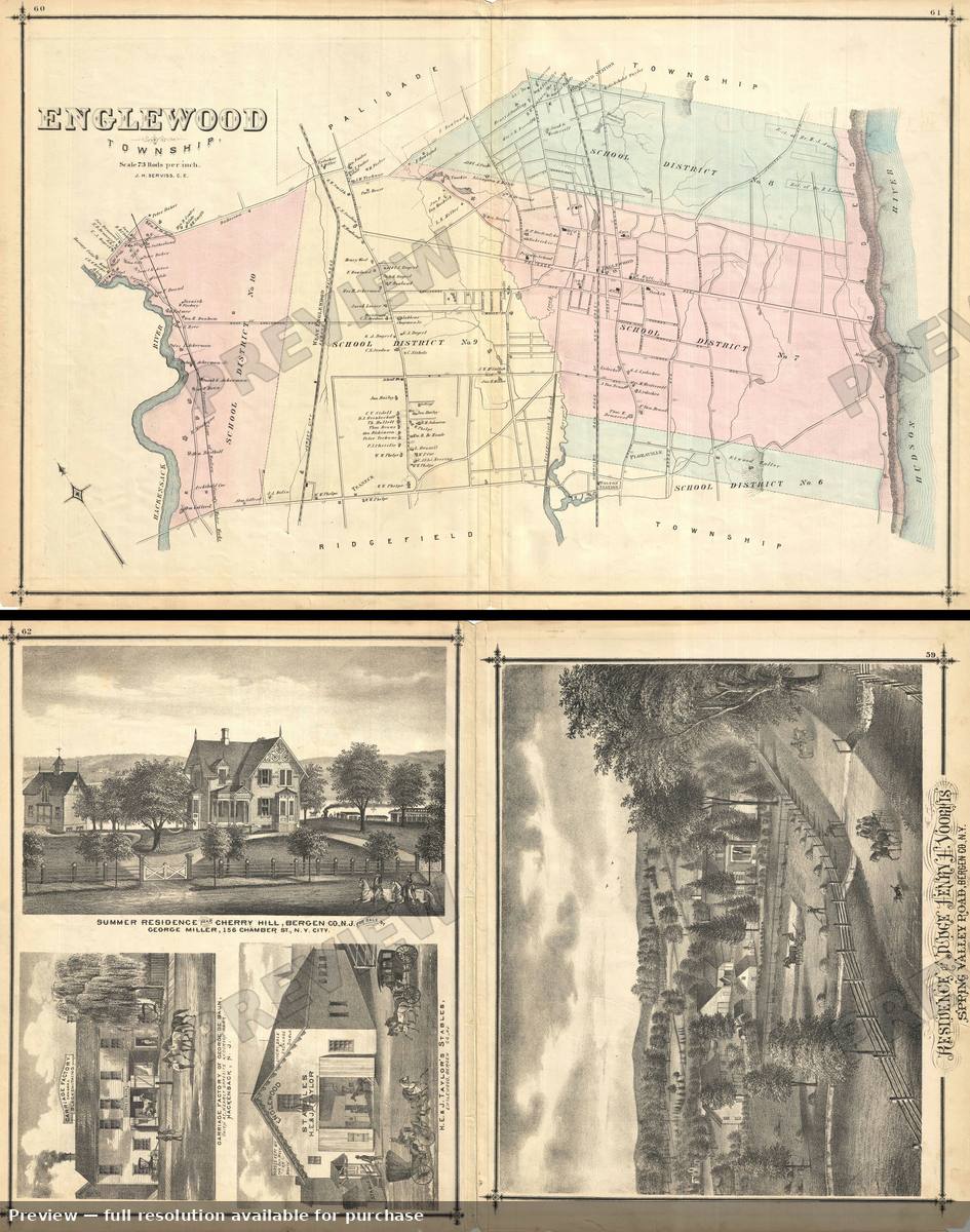 Englewood, 1876
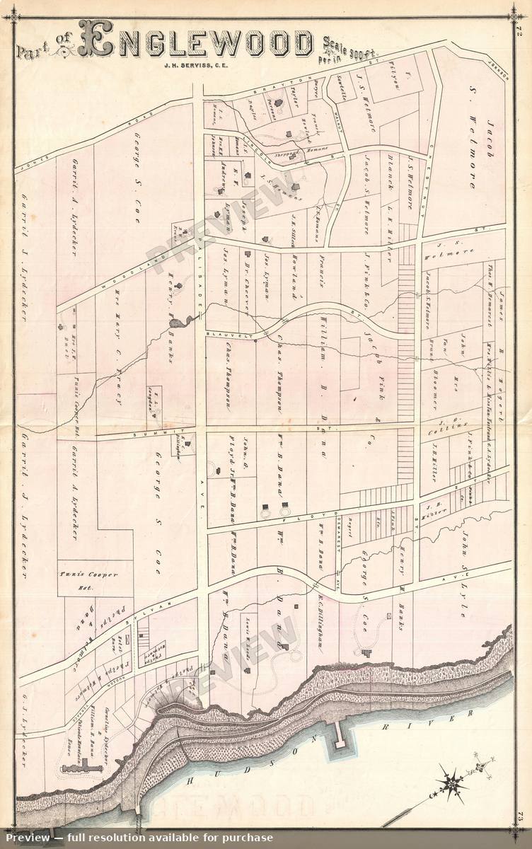 Englewood East, 1876
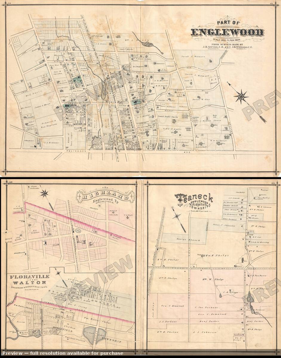 Englewood NE, 1876
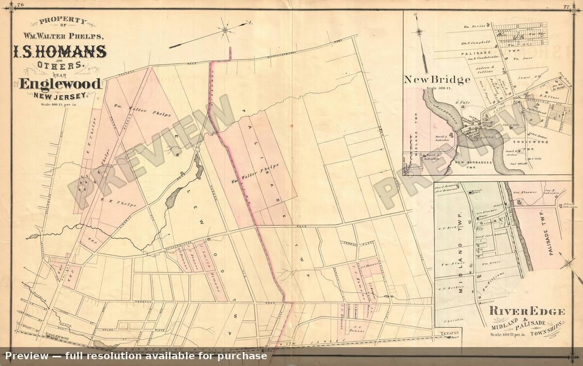 Englewood Property, 1876
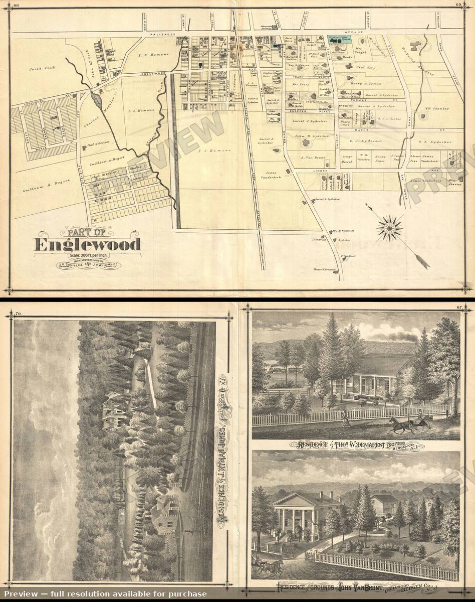 Englewood SW, 1876
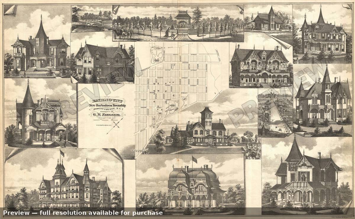 Fairmoun NJ, 1876
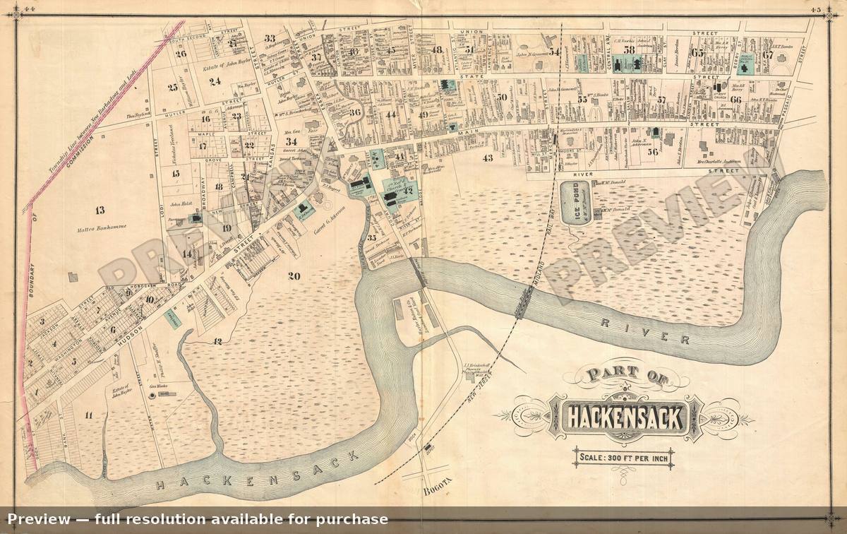 Hackensack NJ 1, 1876
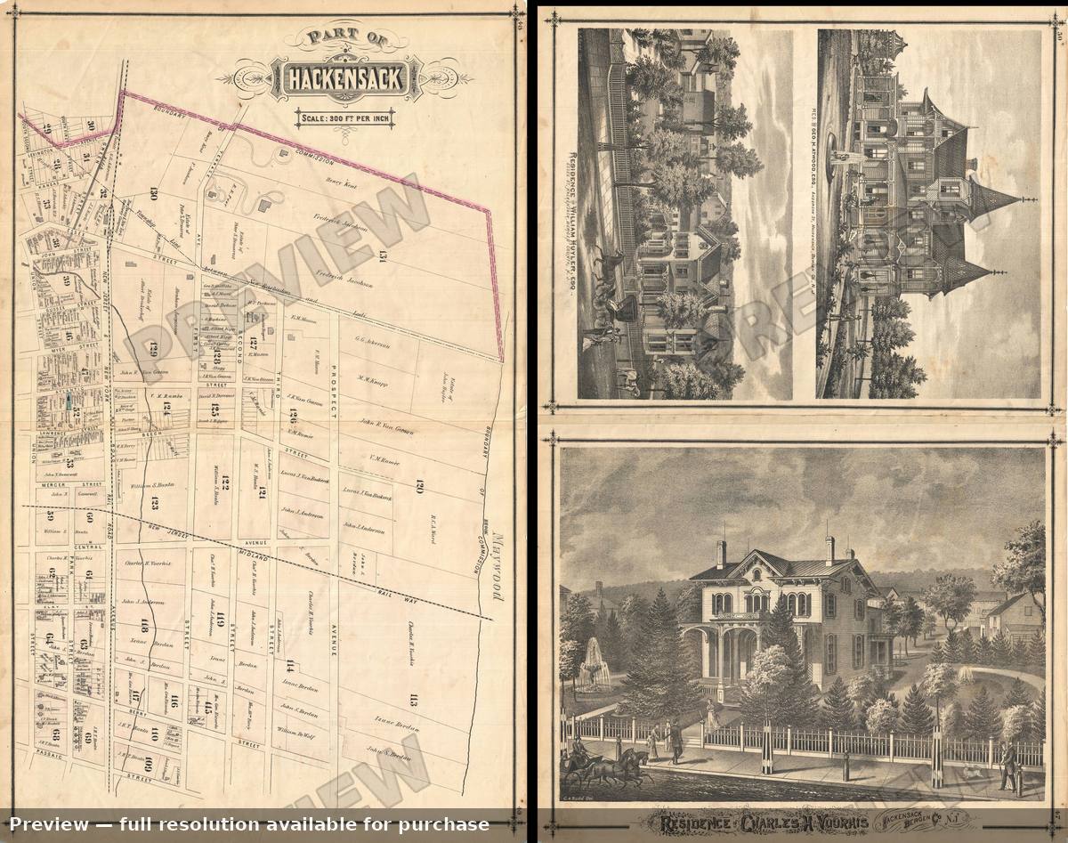 Hackensack NJ 2, 1876
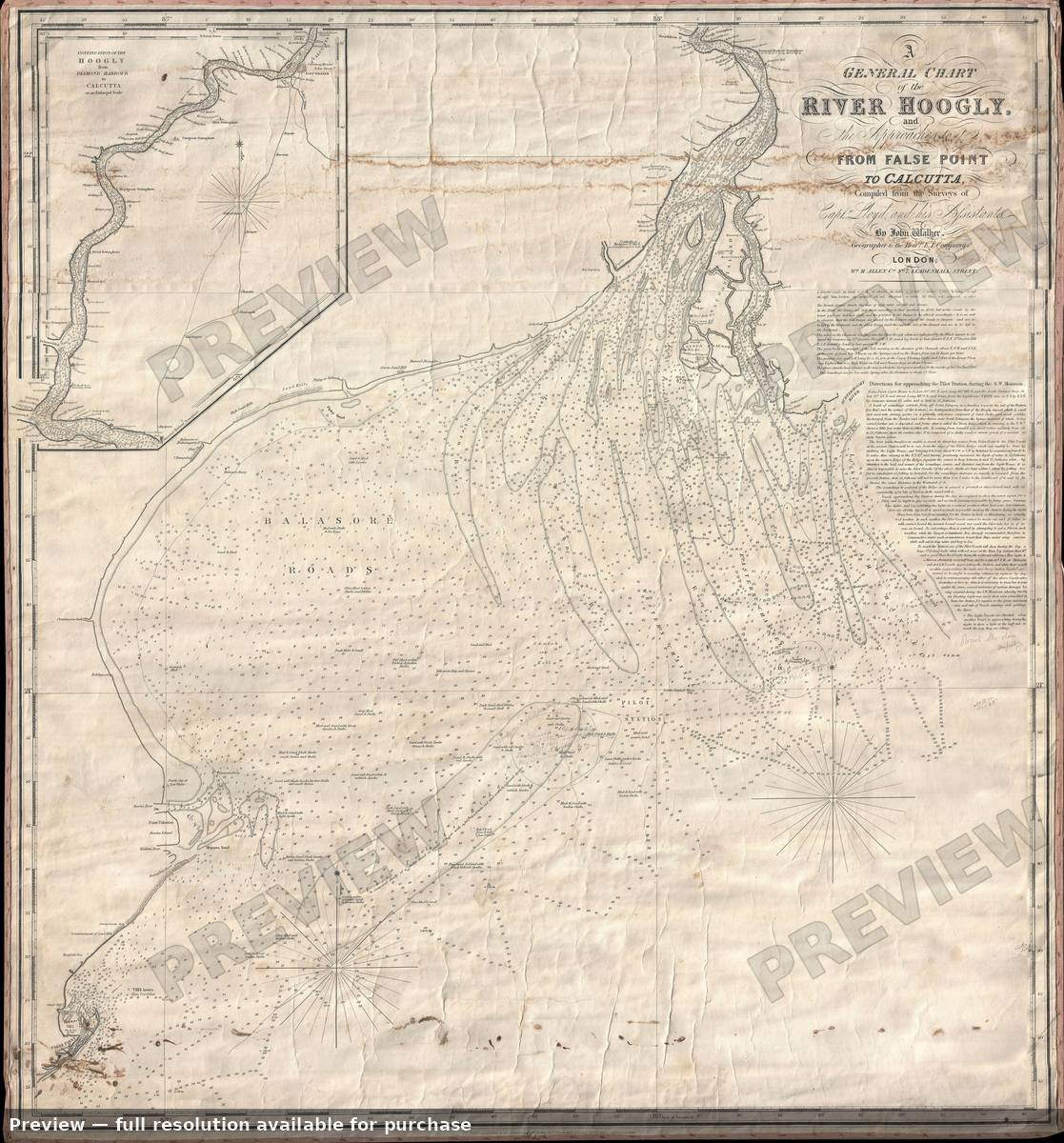 Hoogly River, 1850
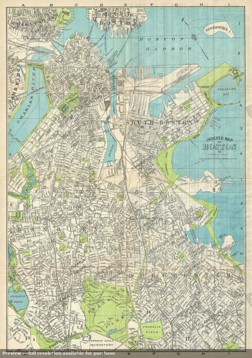 Indexed Boston, 1925
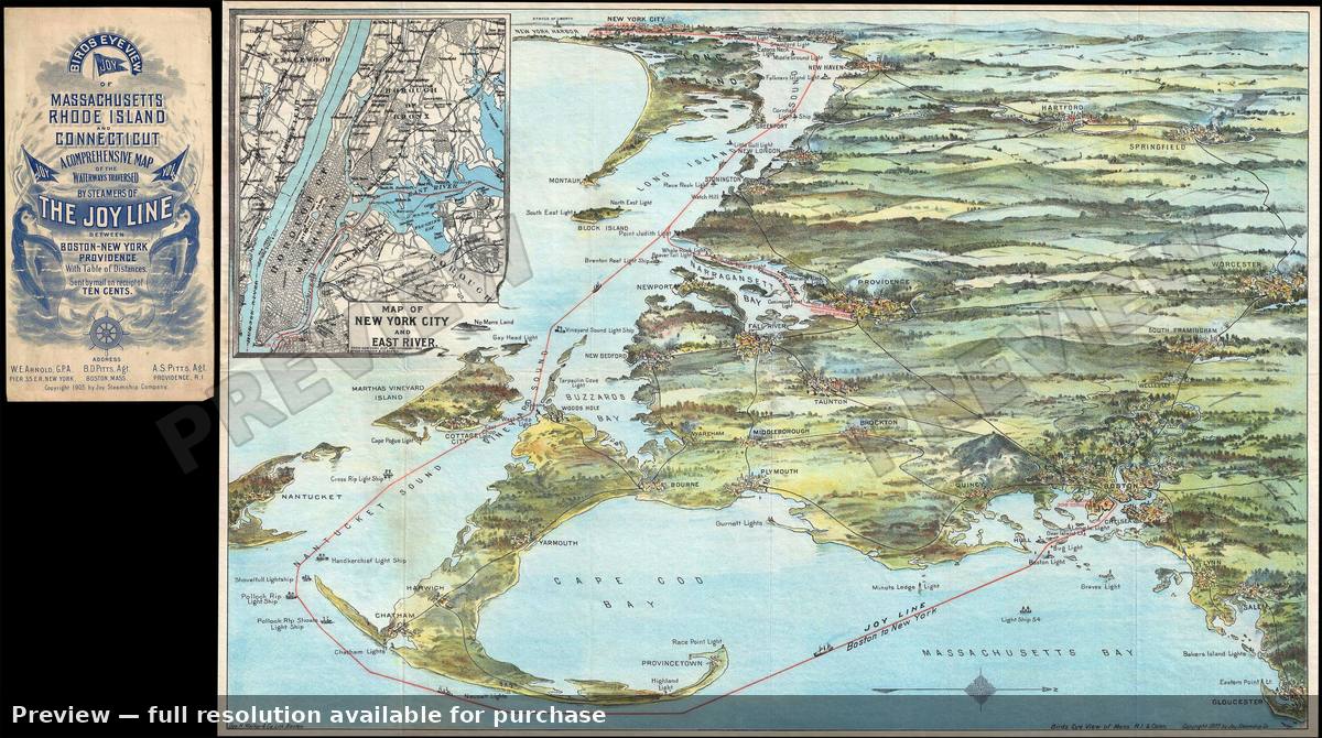 Joy Line View, 1905
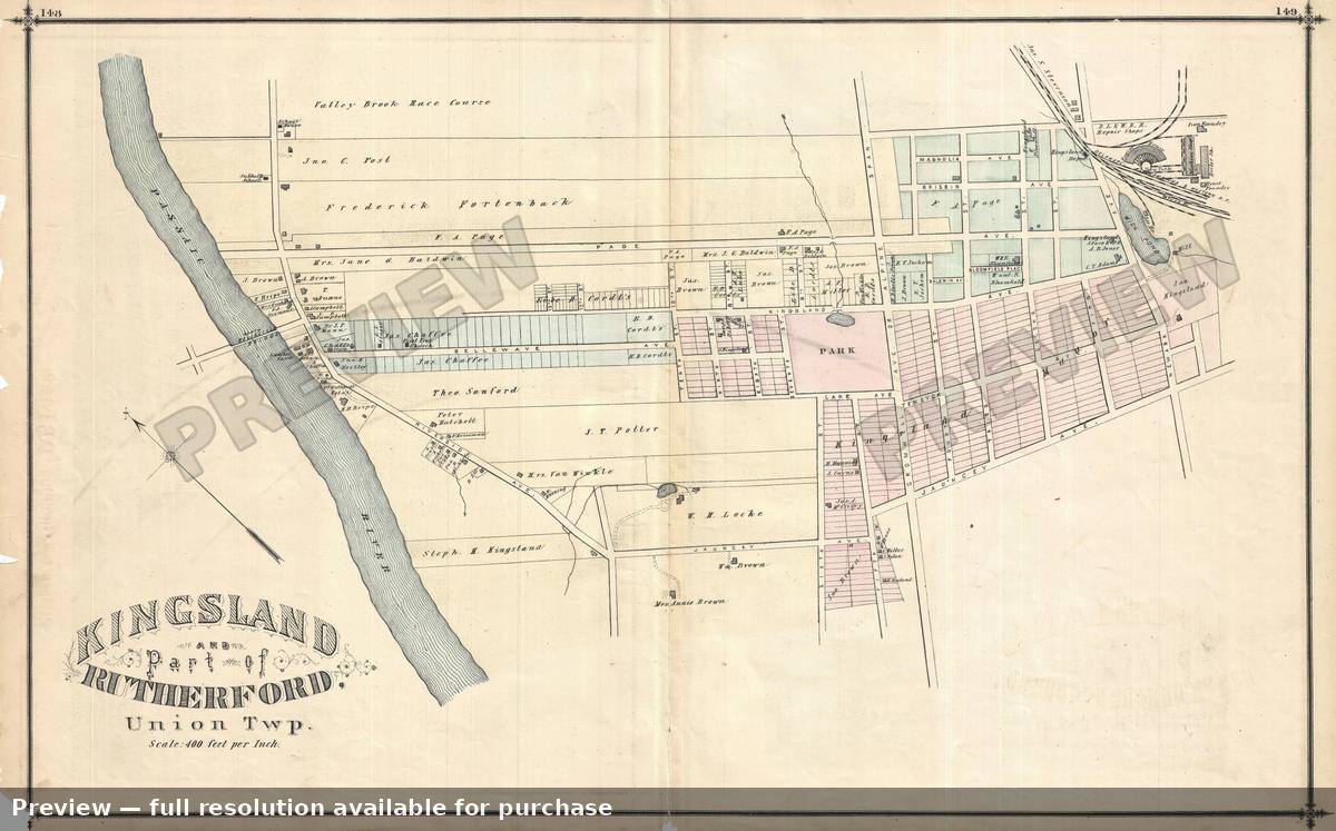 Kingsland Rutherford, 1876
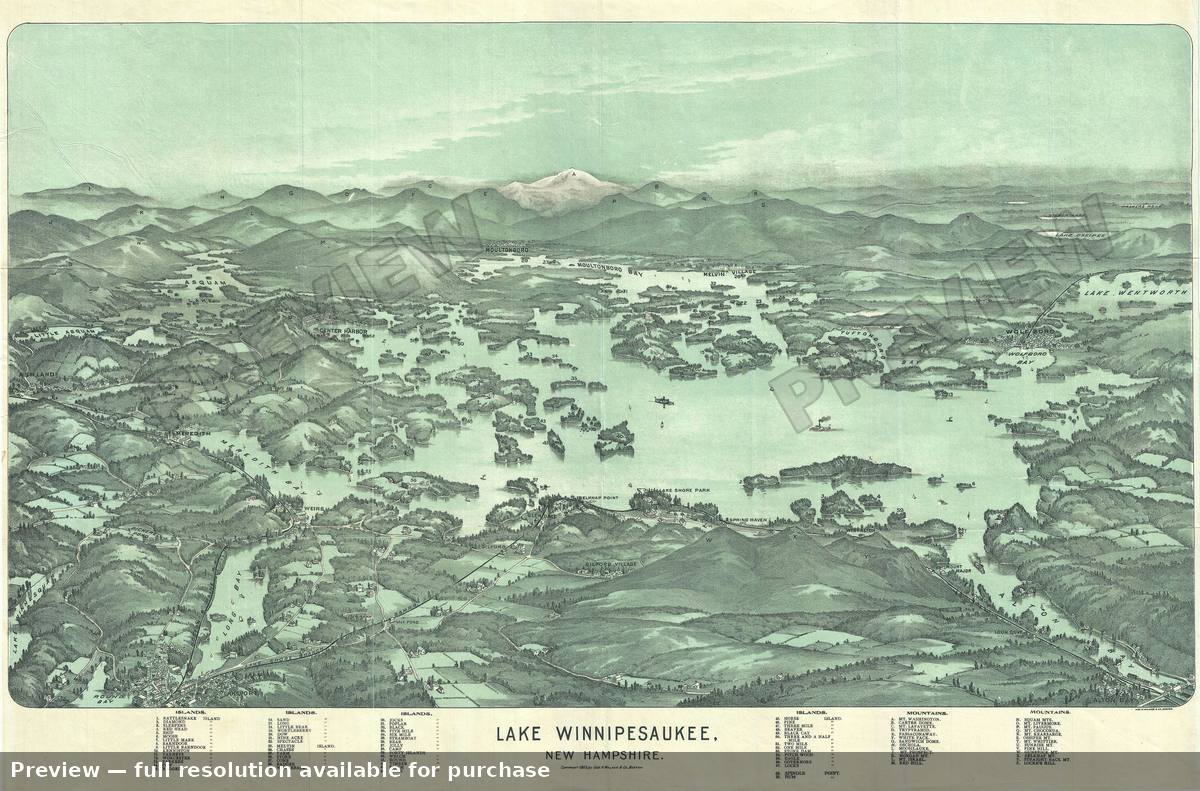 Lake Winnipesaukee, 1903
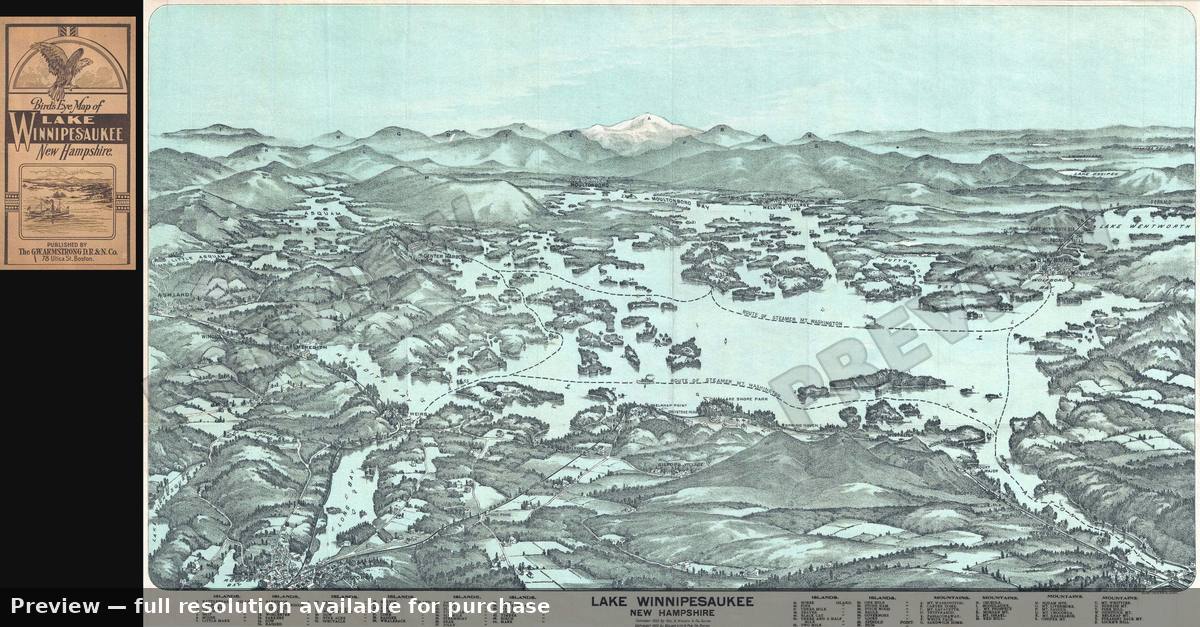 Lake Winnipesaukee, 1909
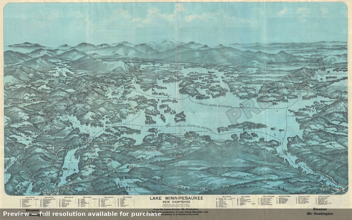 Lake Winnipesaukee 2, 1903
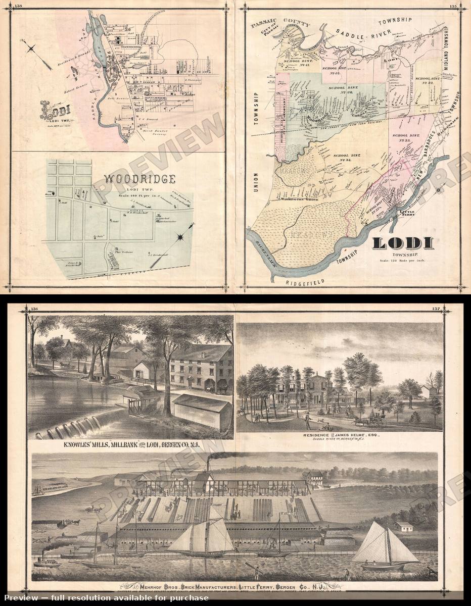 Lodi Ridgewood, 1876
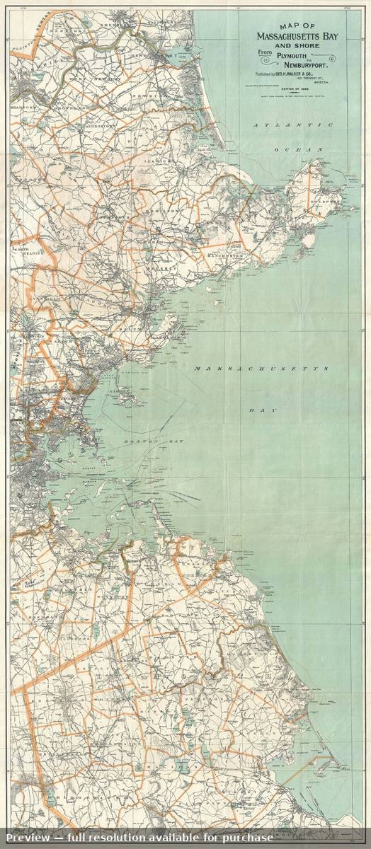 Massachusetts Bay, 1898
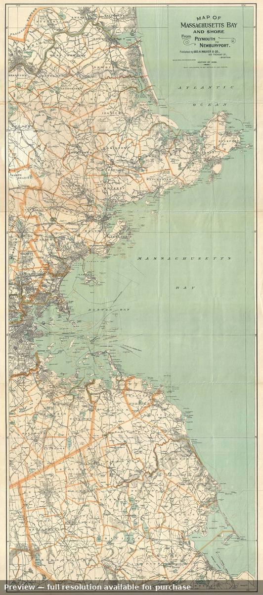 Massachusetts Bay 2, 1898
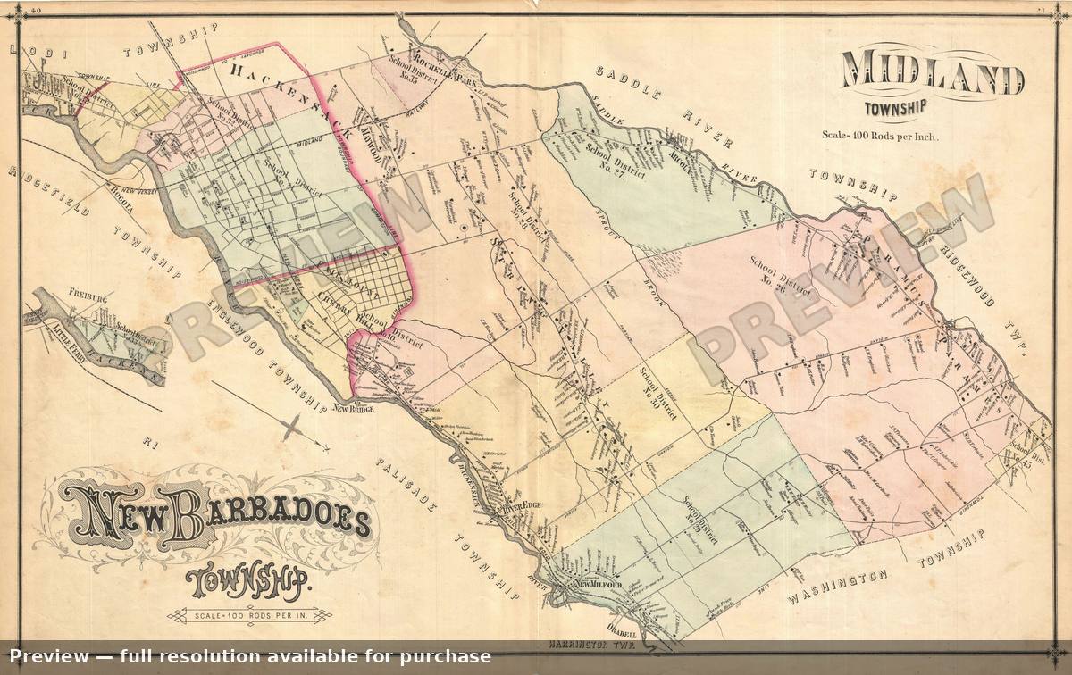 Midland New Barbadoes, 1876
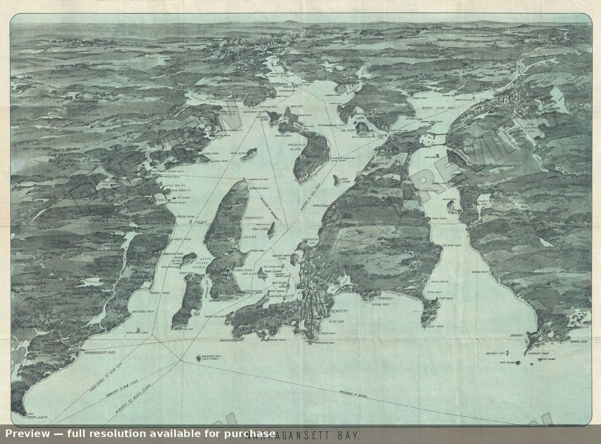 Narraganset Bay 2, 1900
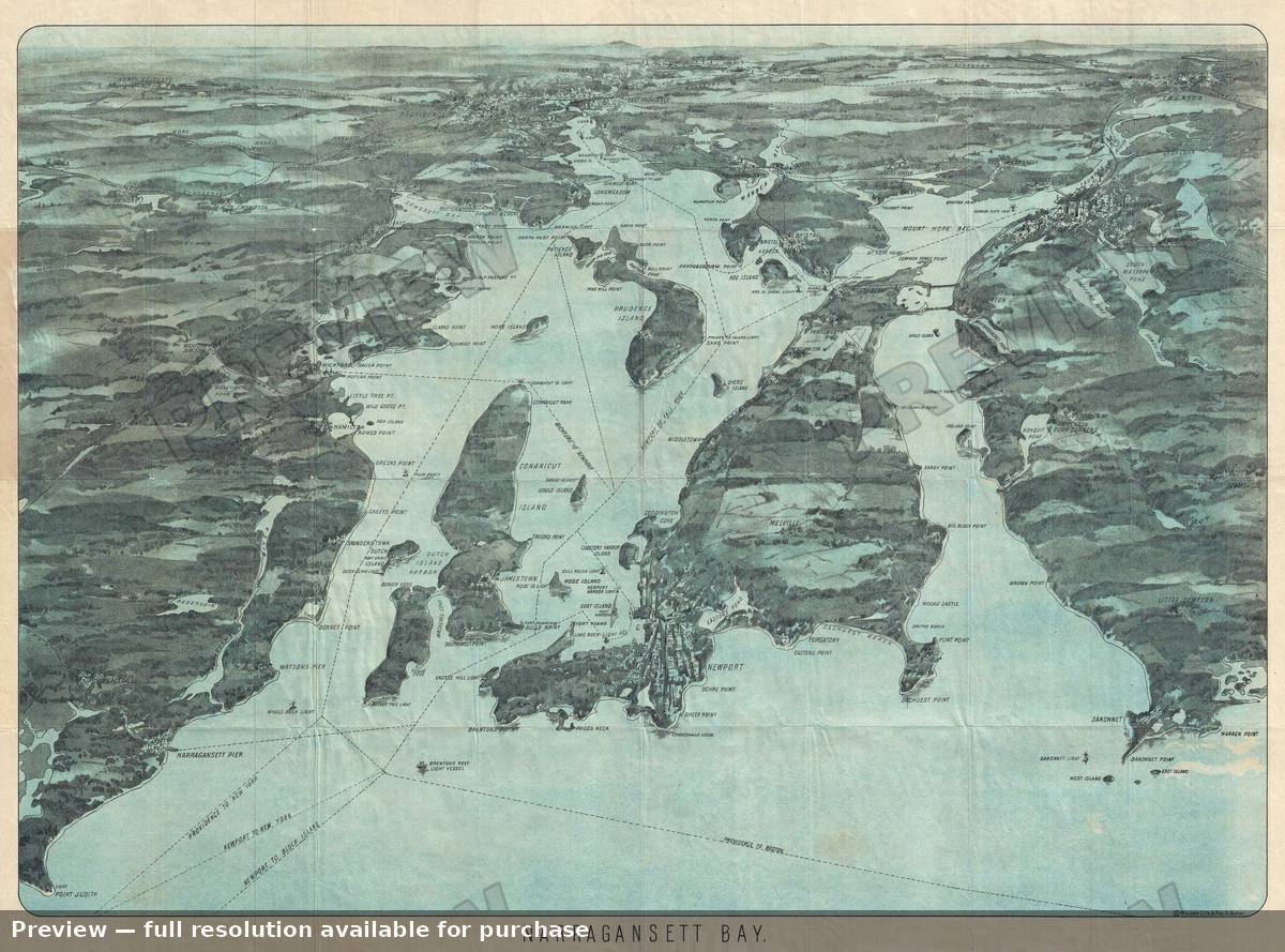 Narraganset Bay 3, 1900
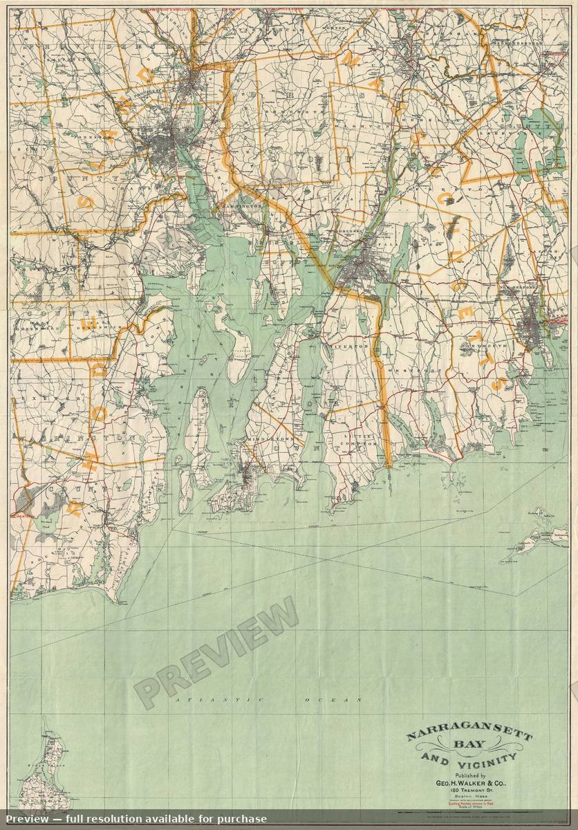 Narragansett, 1892
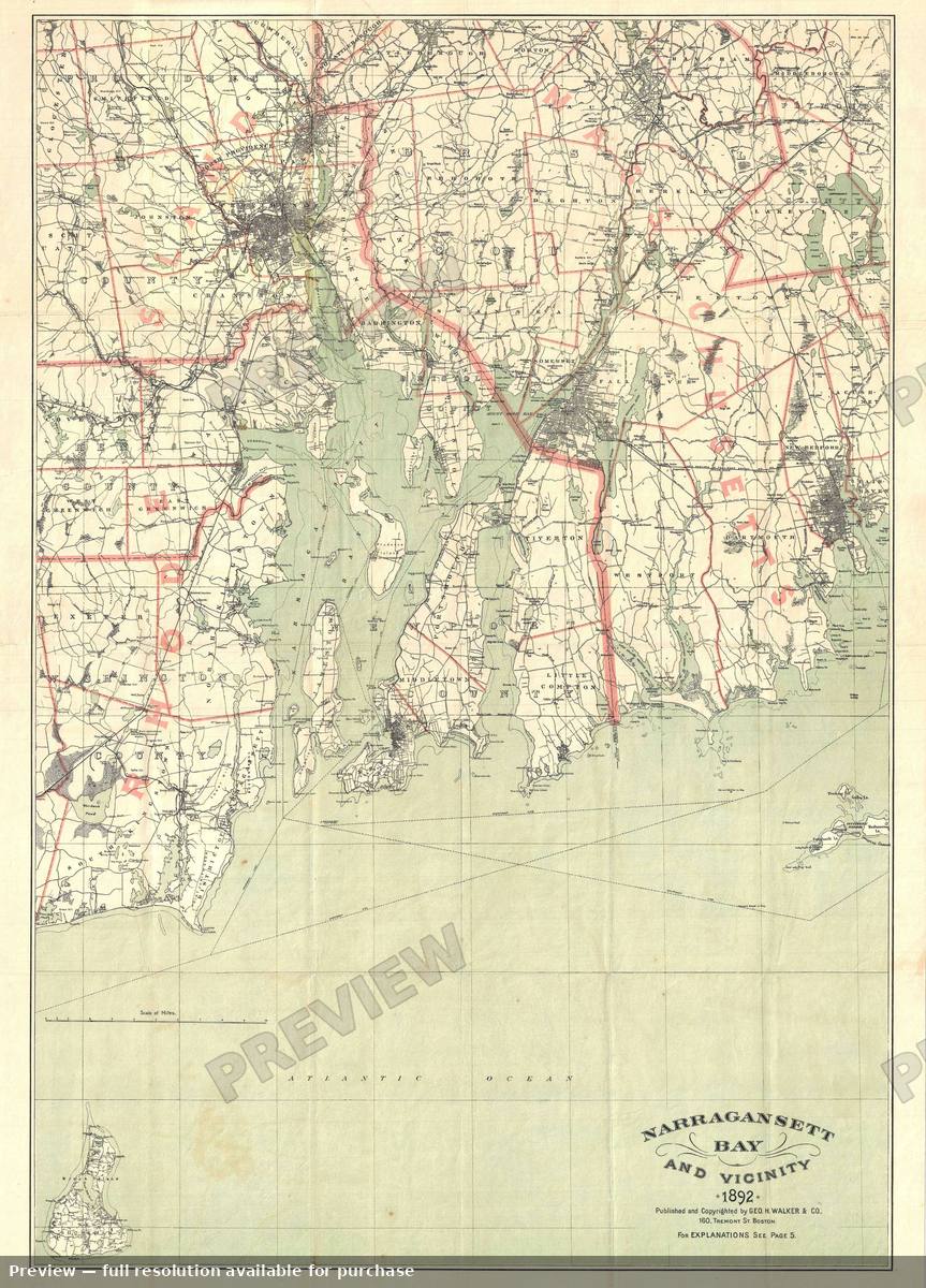 Narragansett Bay, 1892
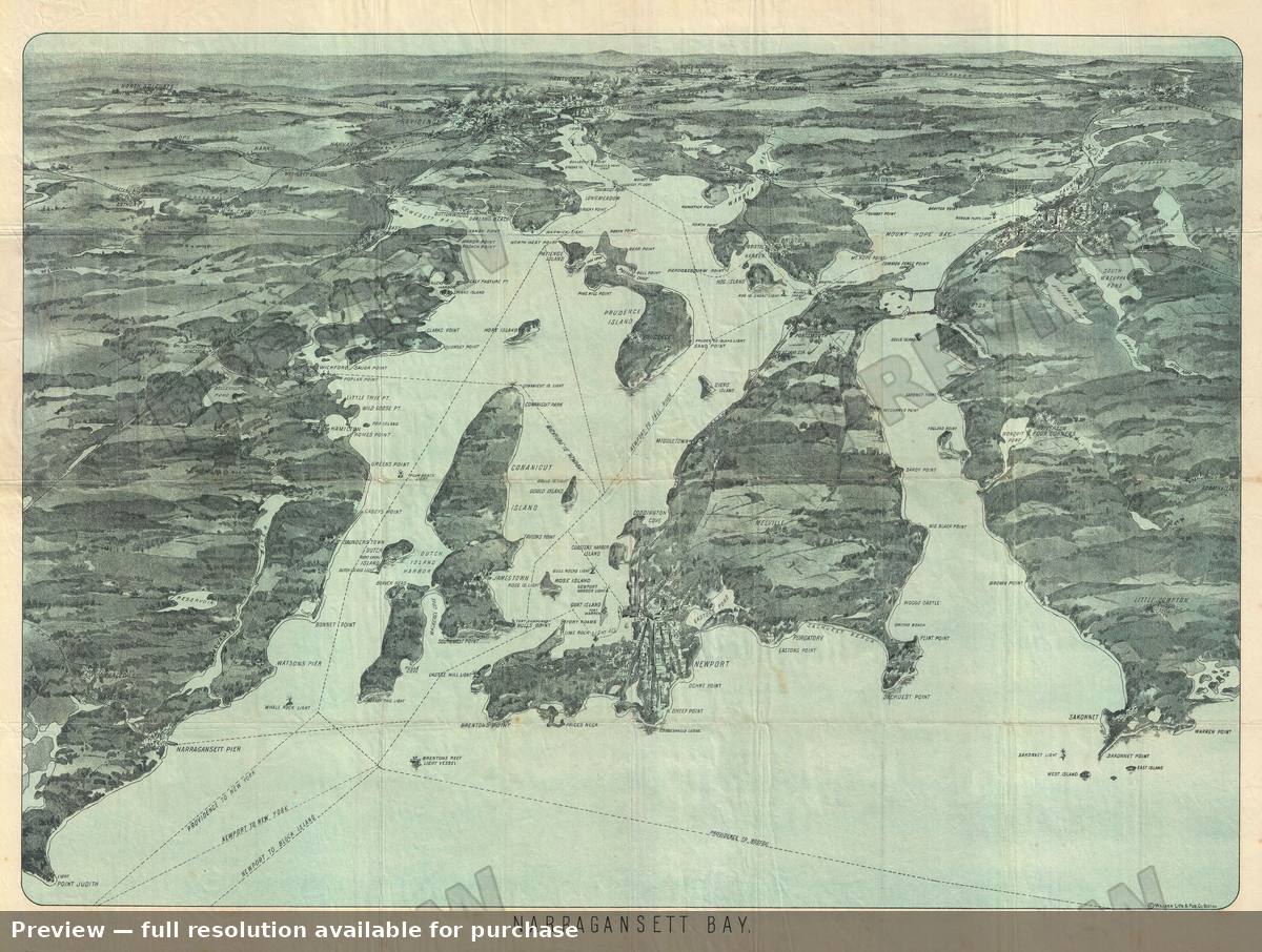 Narragansett Bay, 1900
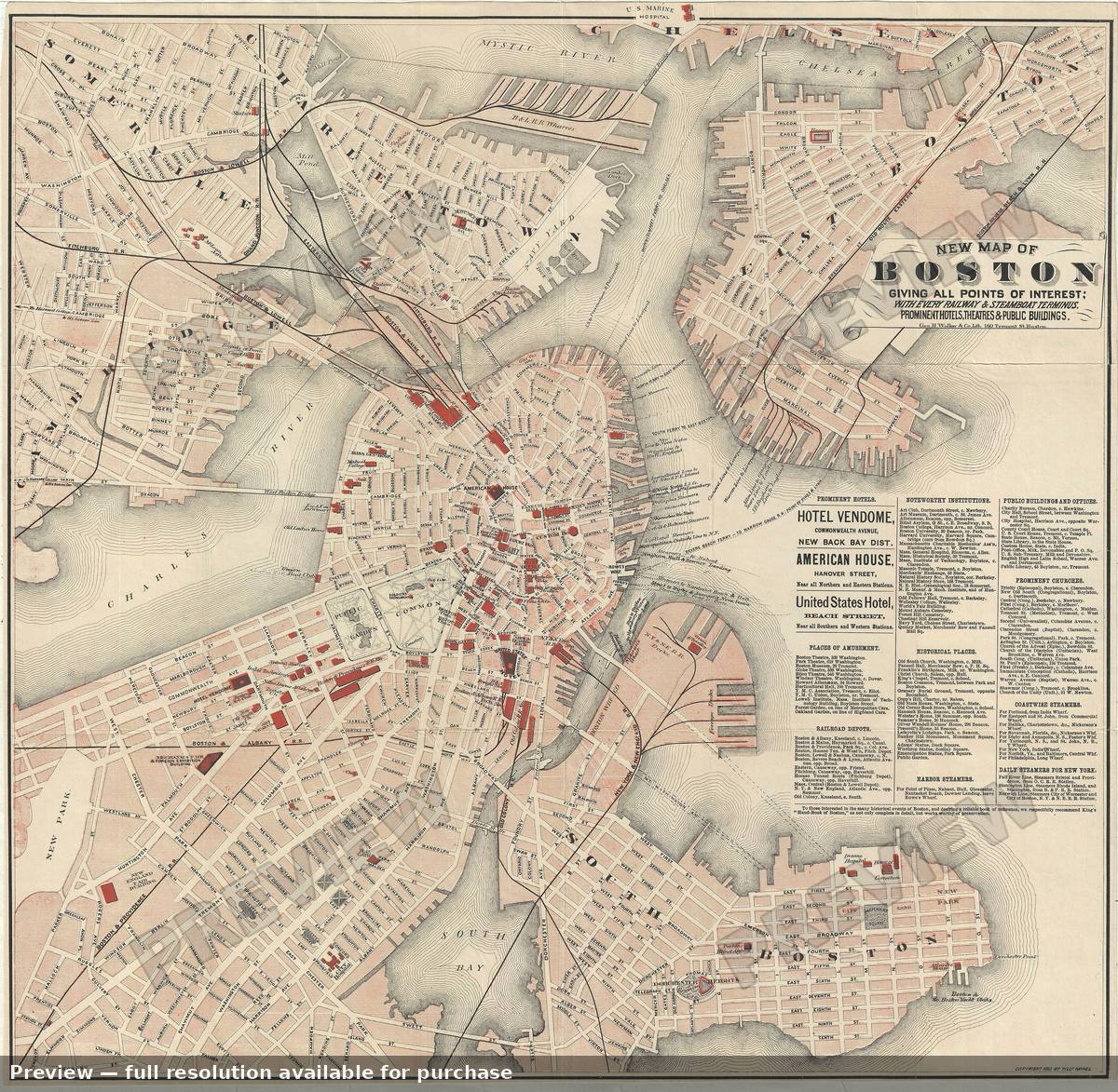 New Boston, 1883
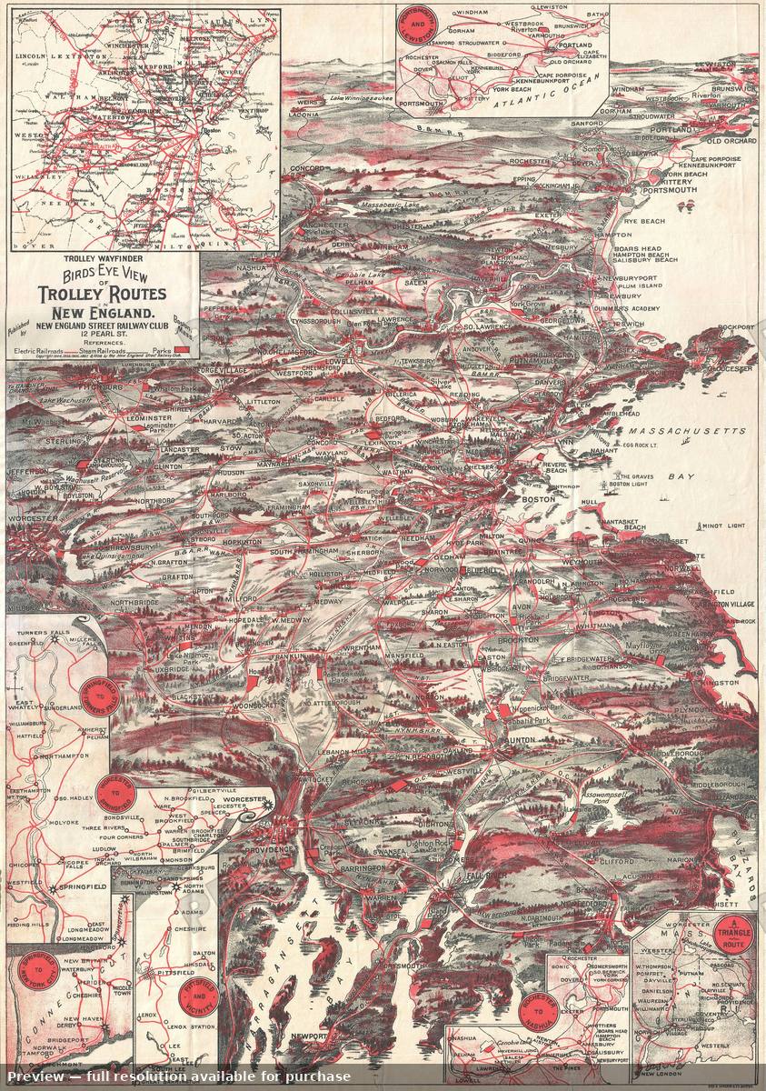 New England, 1908
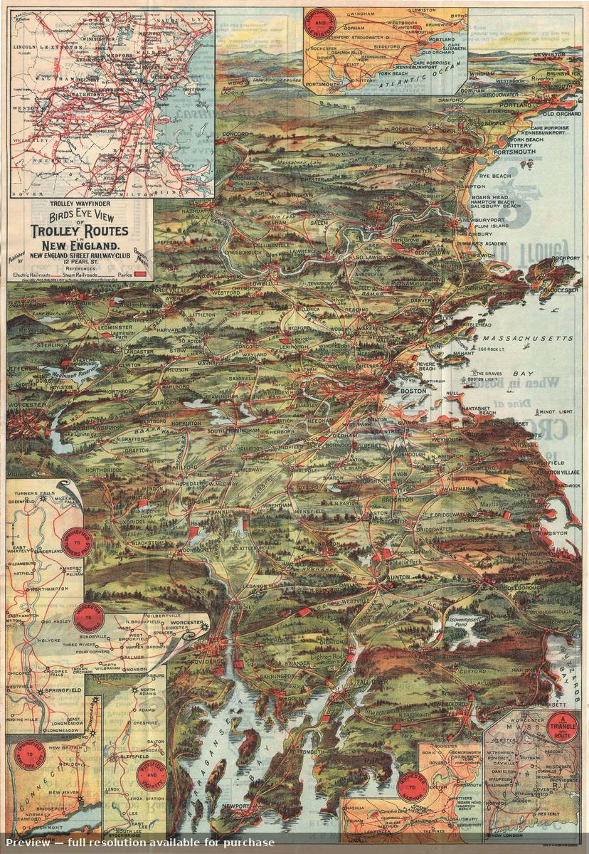 New England Trolley, 1907
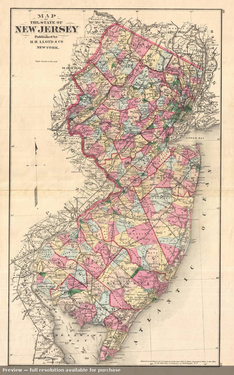 New Jersey, 1876
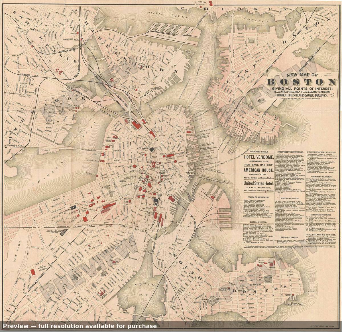 New Map Boston, 1883
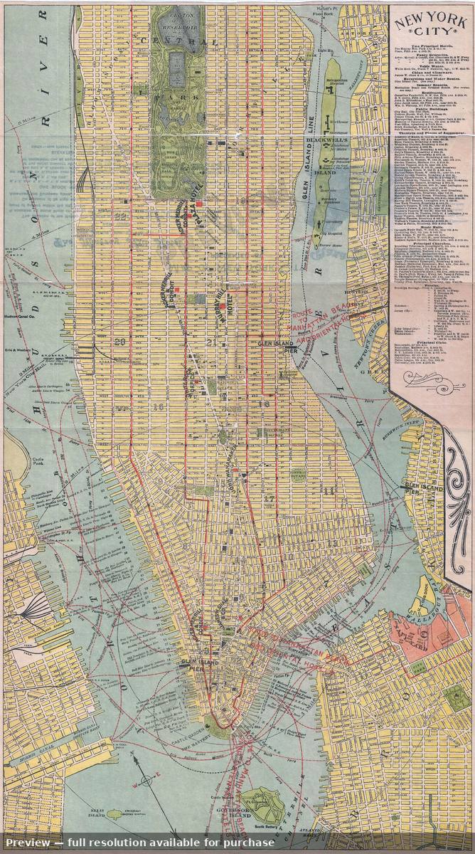 New York City, 1894
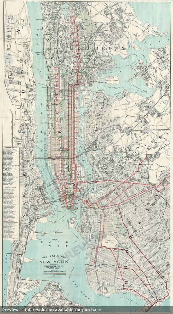 New York City, 1907
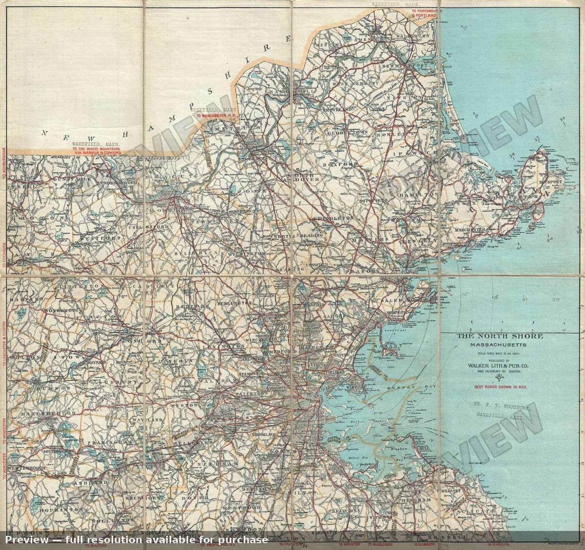 North Shore, 1902
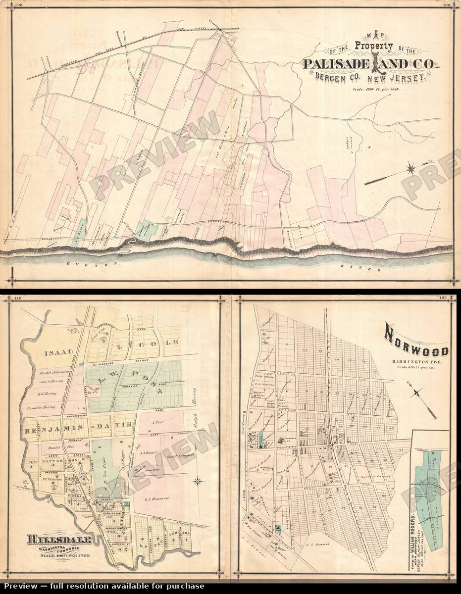 Norwood Hillsdale, 1876
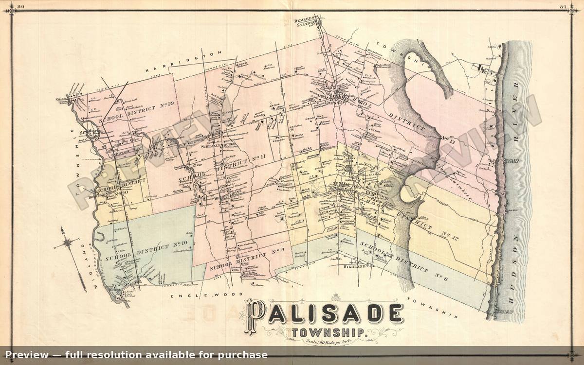 Palisade NJ, 1876
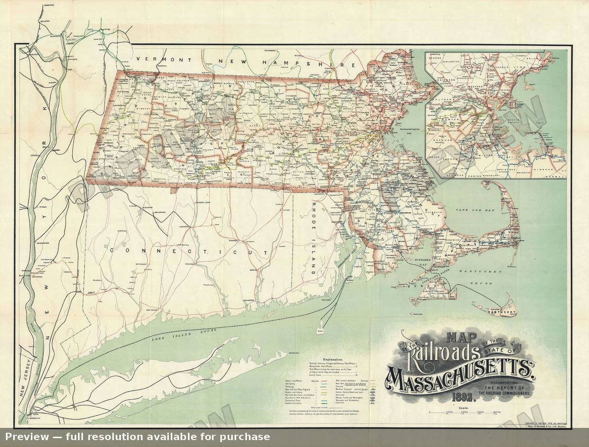 Railroads Massachusetts, 1892
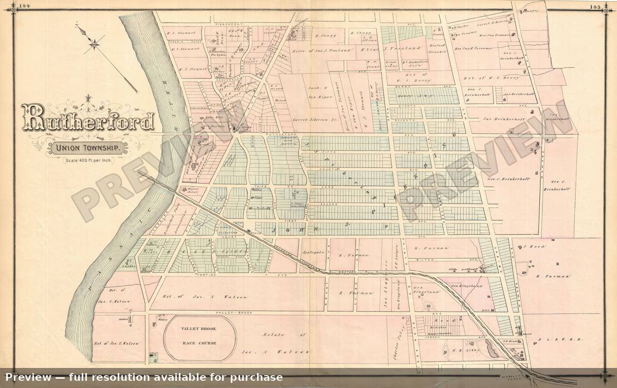 Rutherford South, 1876
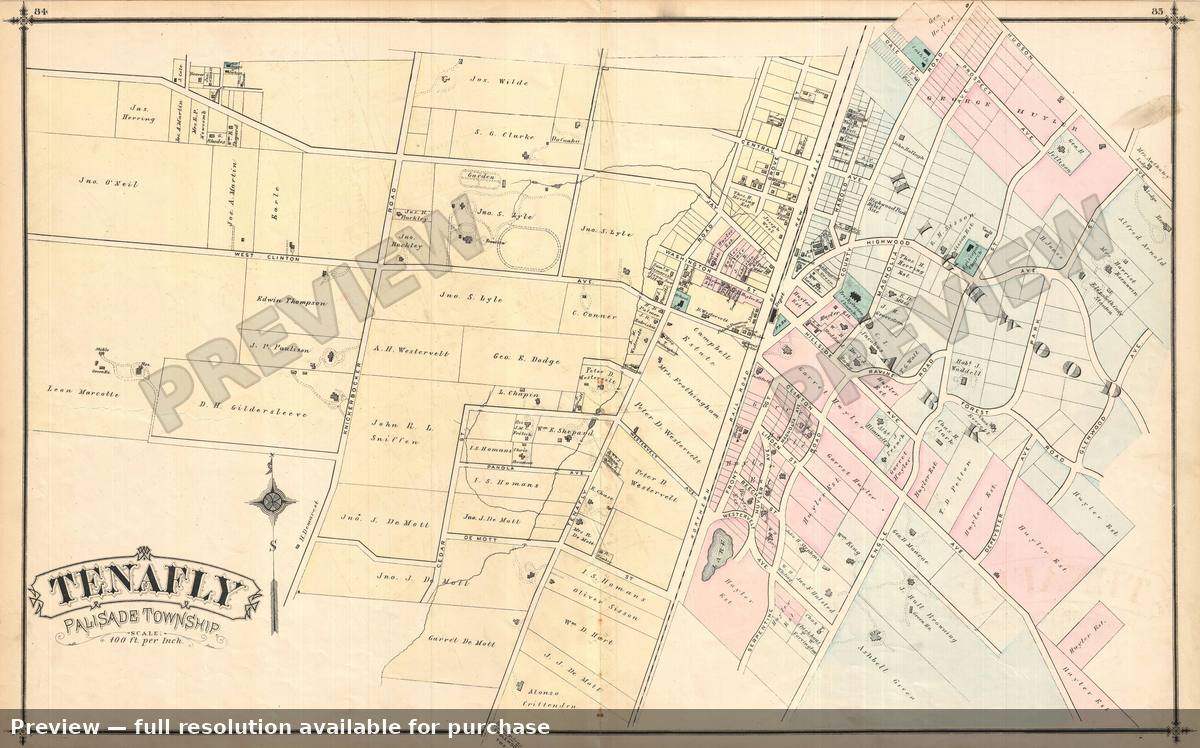 Tenafly NJ, 1876
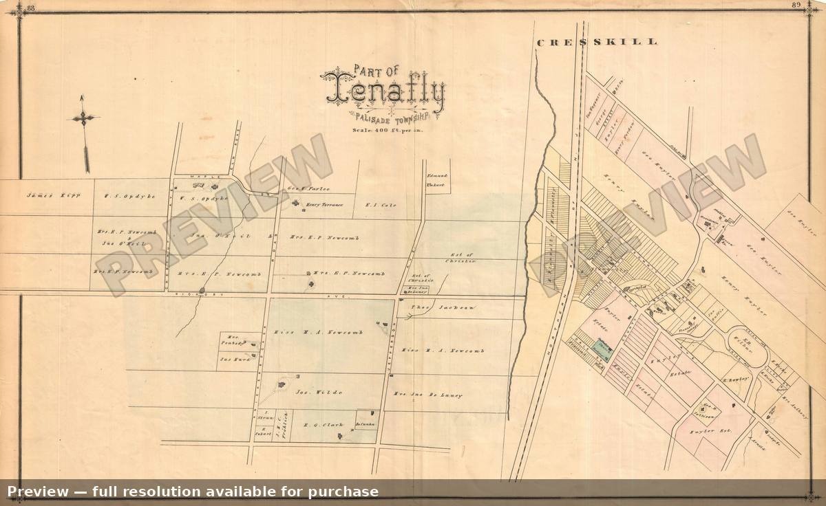 Tenafly Partof, 1876
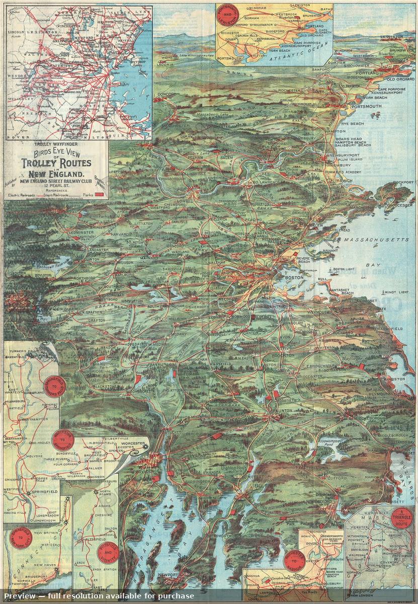 Trolley Routes New England, 1905
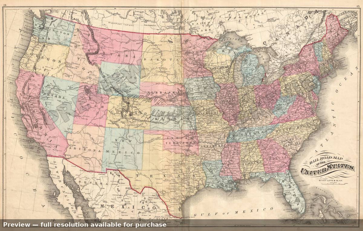 United States Railroad, 1876
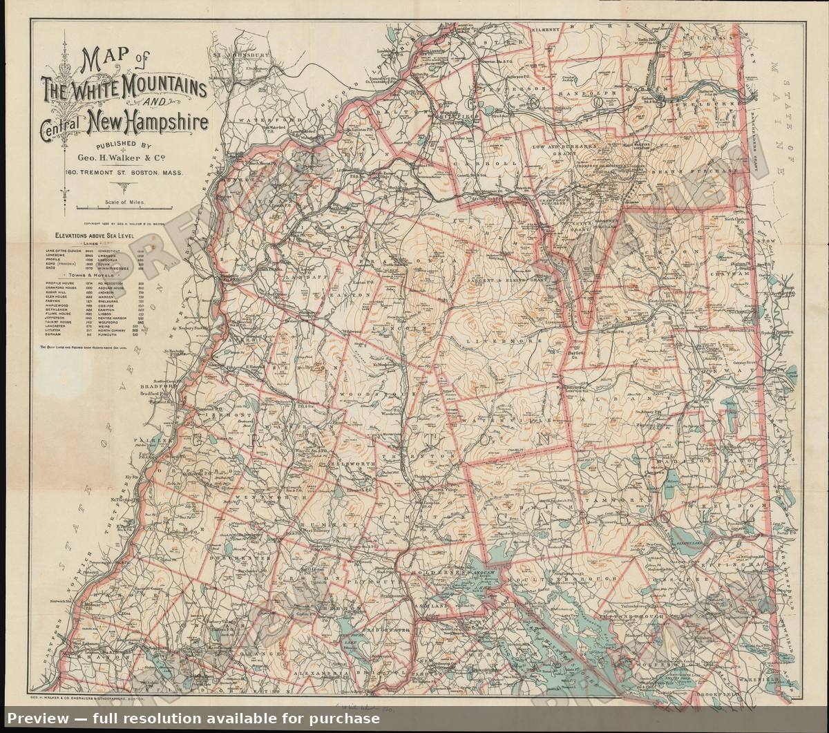 White Mountains New Hampshire, 1893
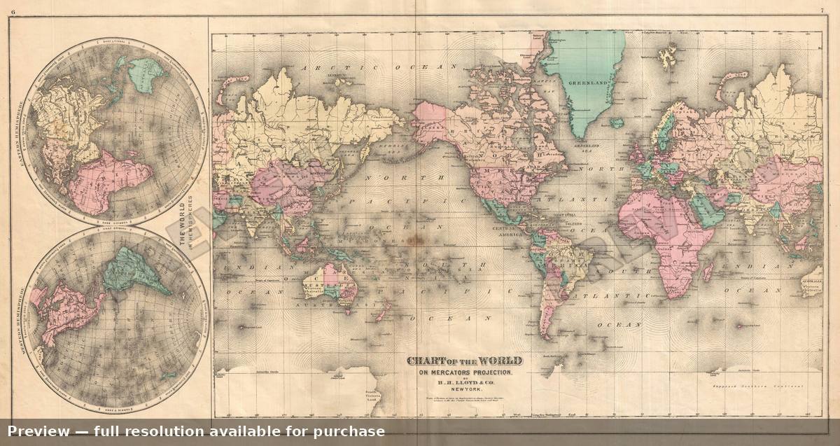 World, 1876