Find the place history remembers
Antique Maps by Vuillemin
22 antique maps in the Meridian library. Every map is available as a full-resolution download for $4.99 — the previews below are watermarked and reduced in size.
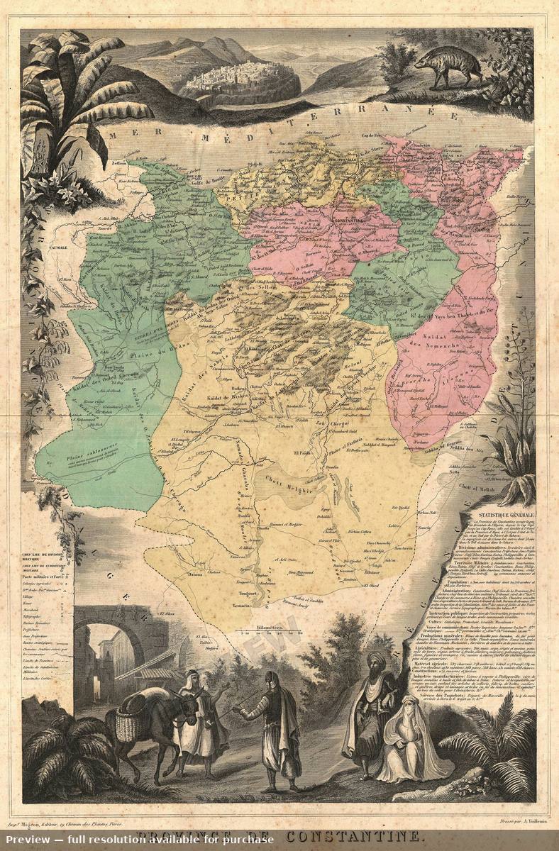 Algeria, 1870
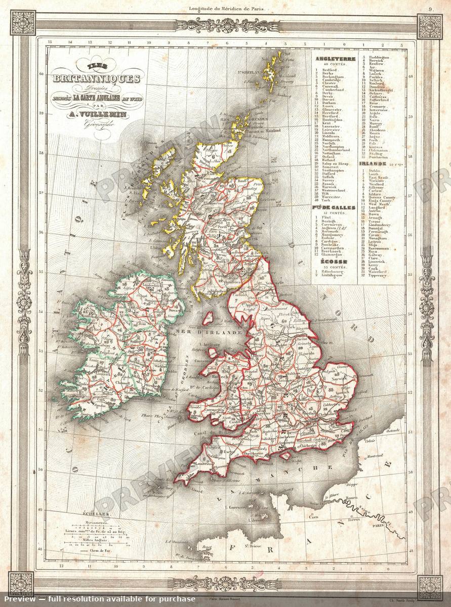 British Isles, 1852
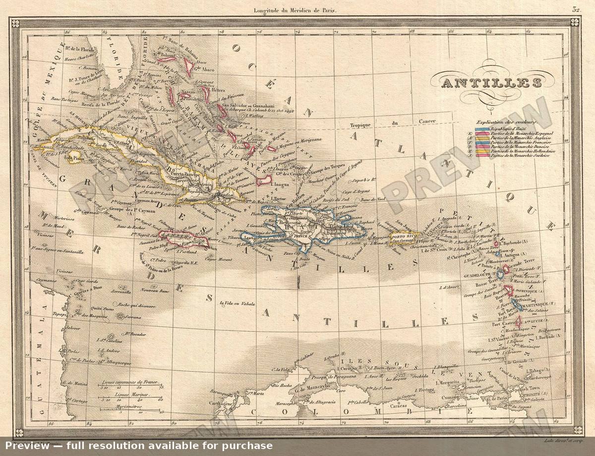 Caribbean, 1852
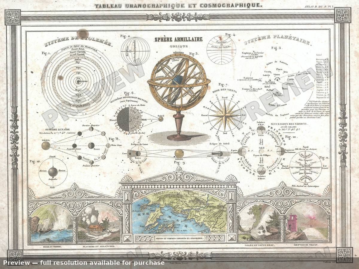 Cosmographique, 1852
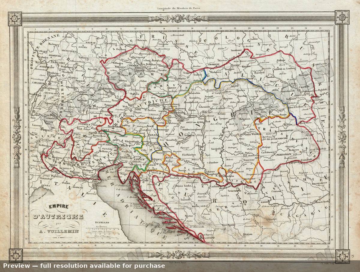 Empire Austrian, 1852
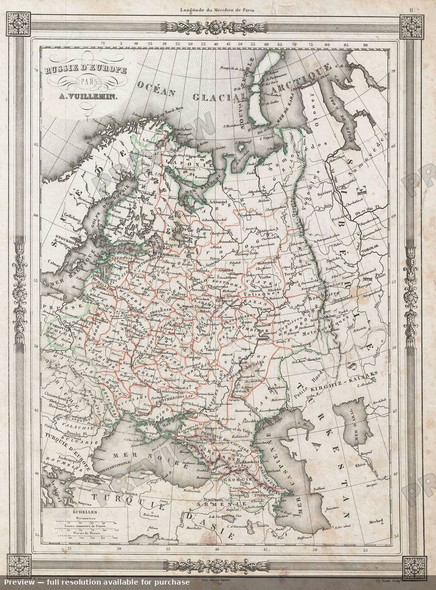 European Russia, 1852
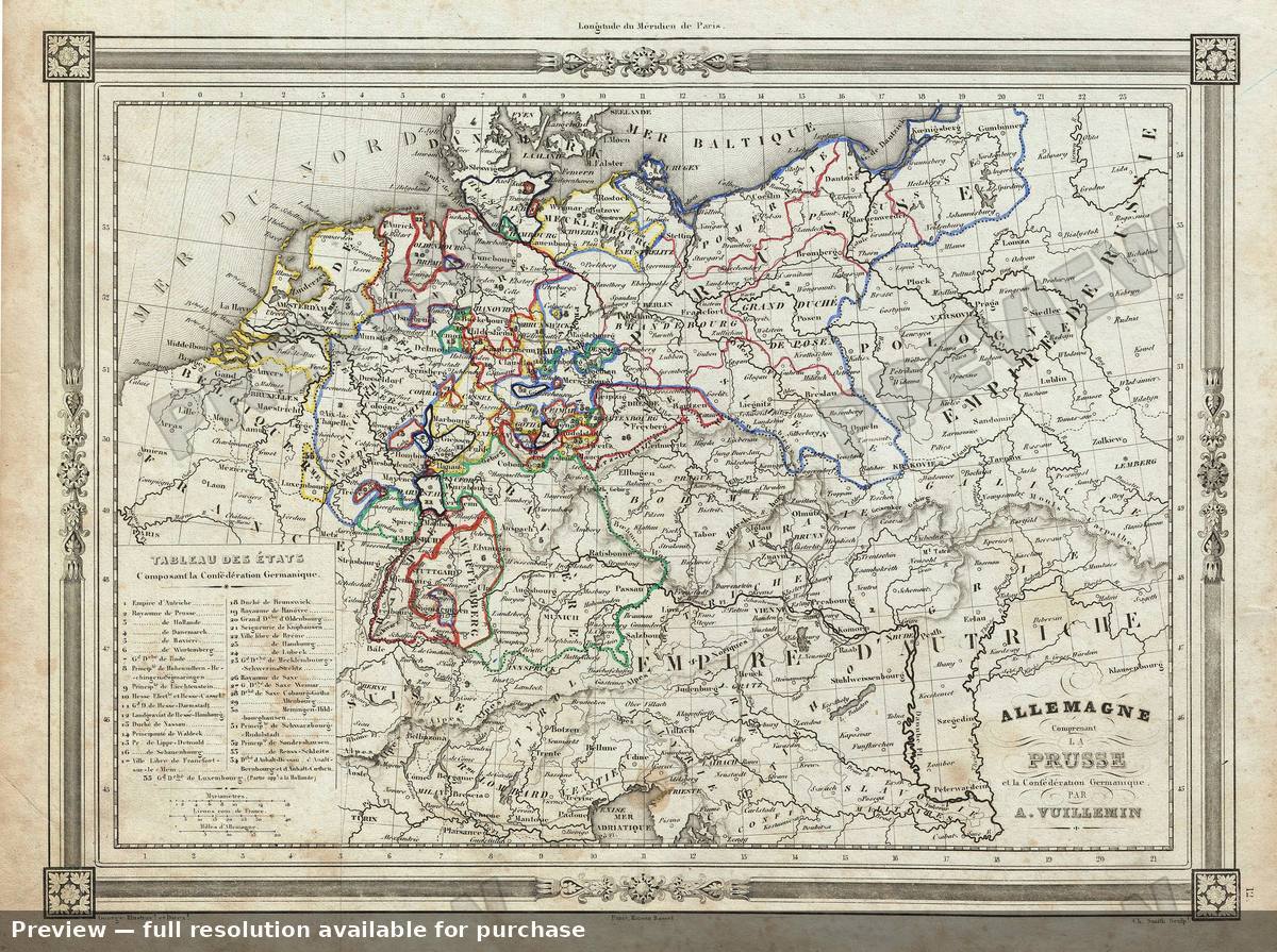 Germany Prussia, 1852
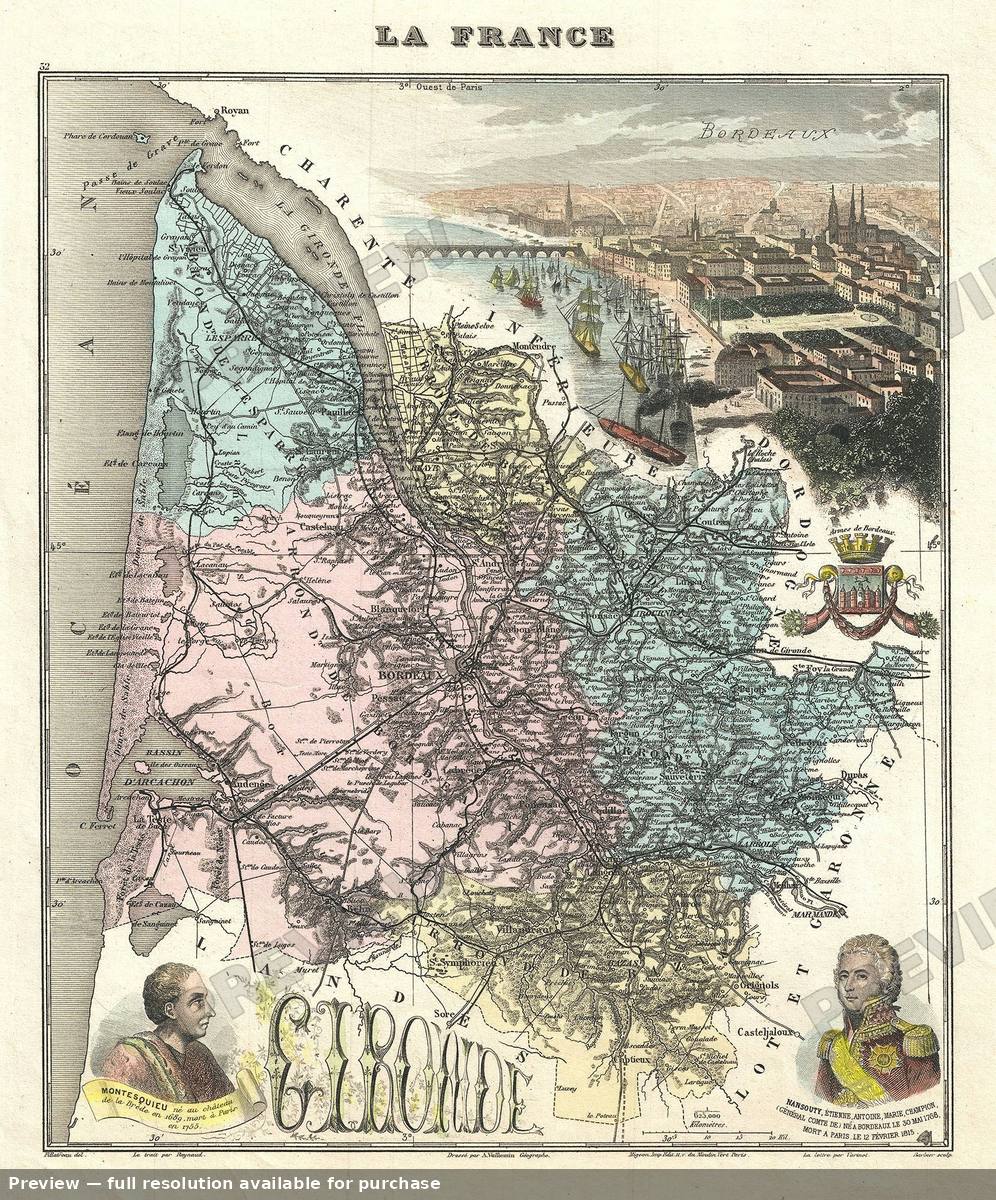 Gironde, 1893
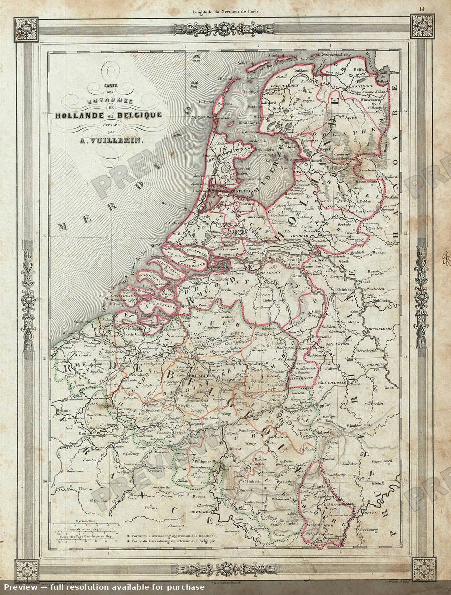 Holland Belgium, 1852
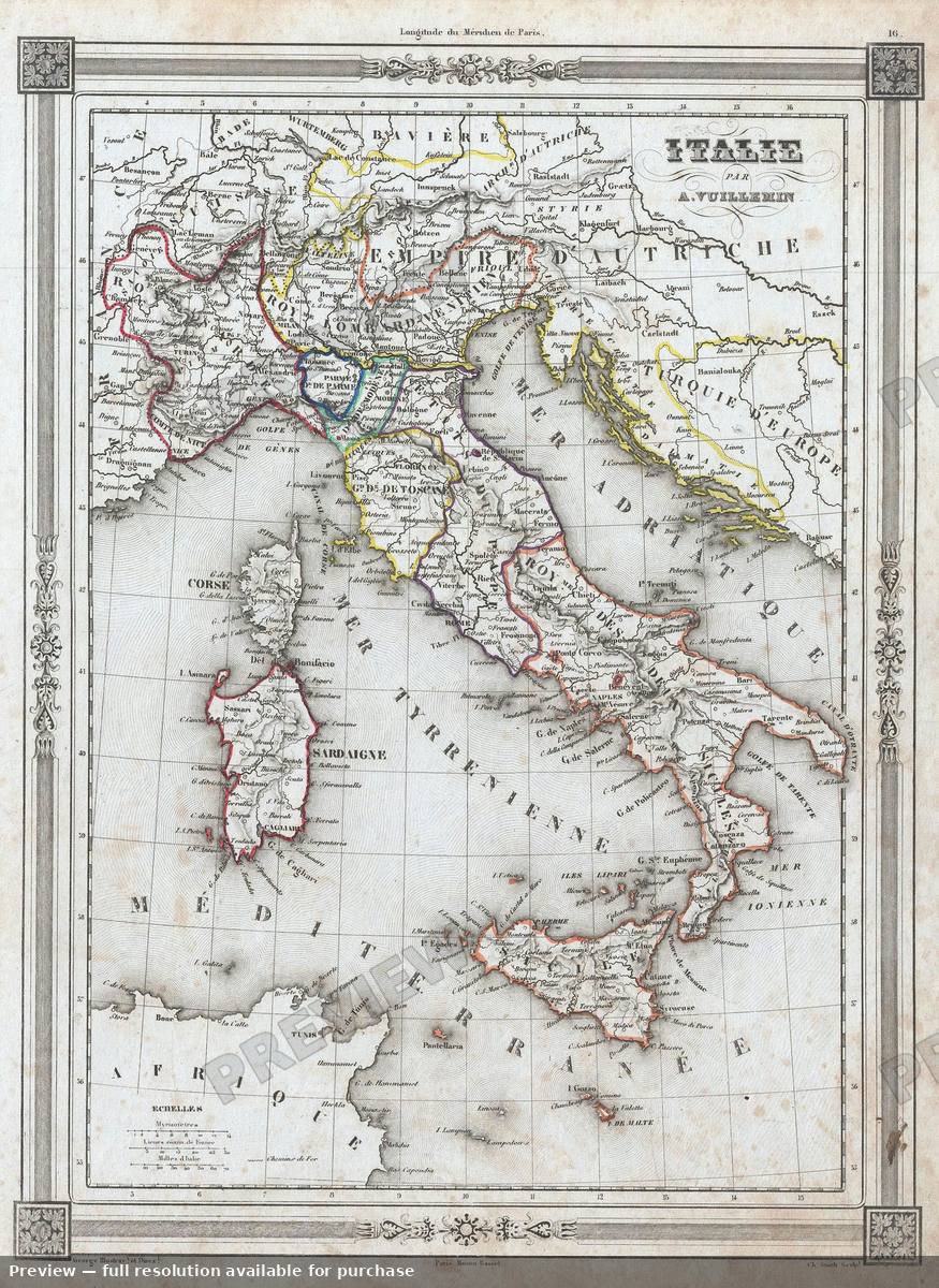 Italy, 1852
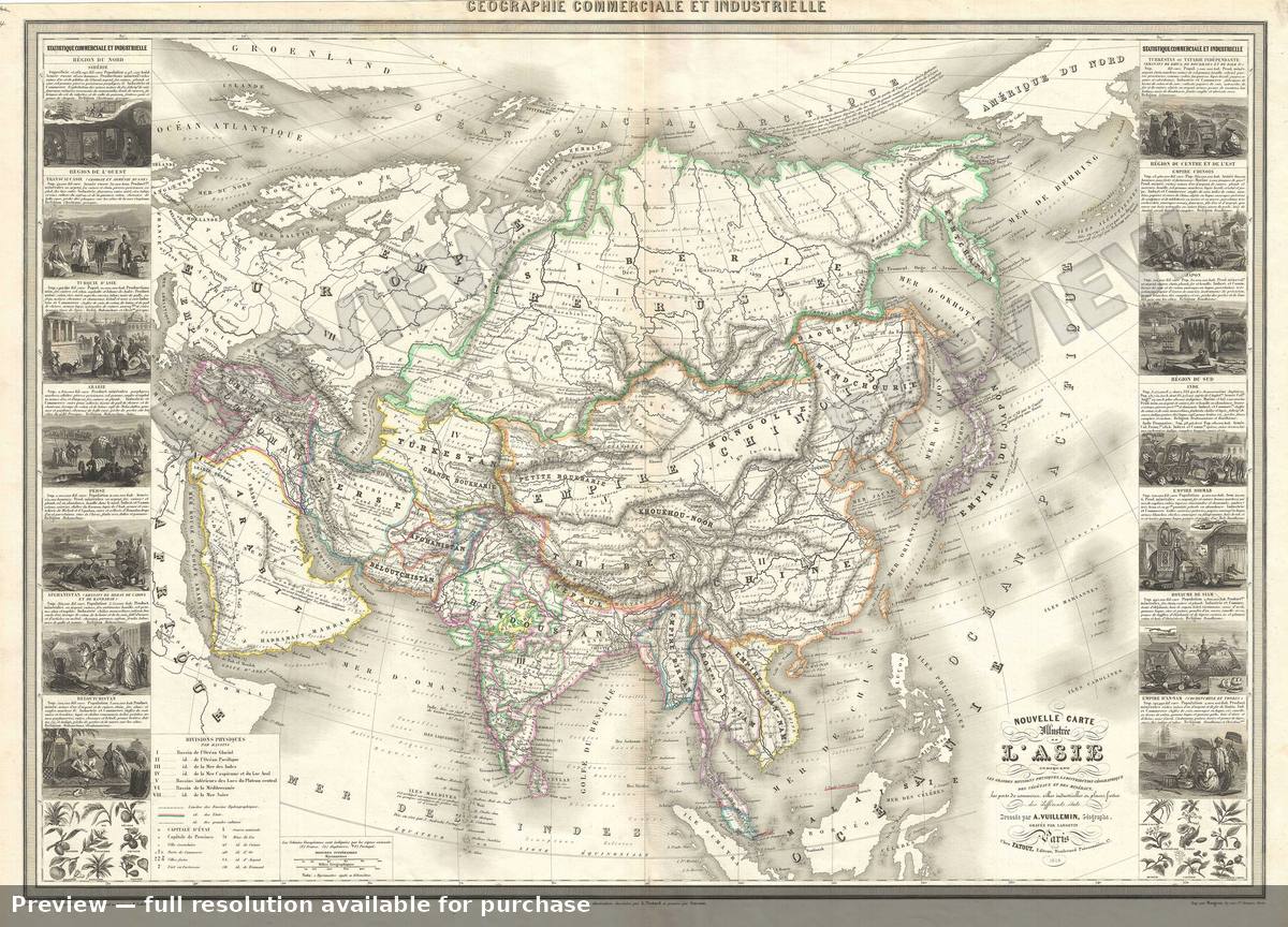 L Asie, 1859
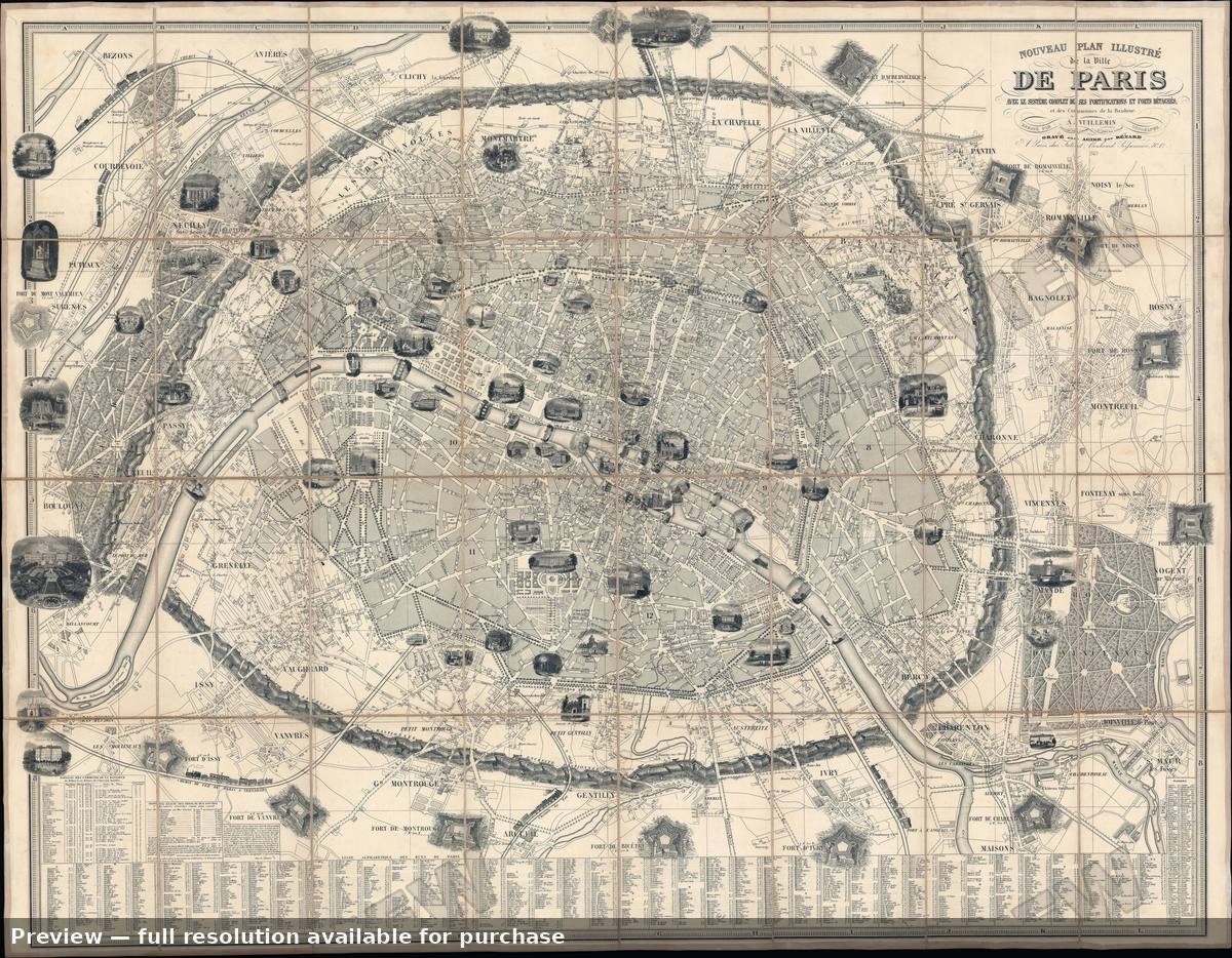 Nouveau Plan Paris, 1849
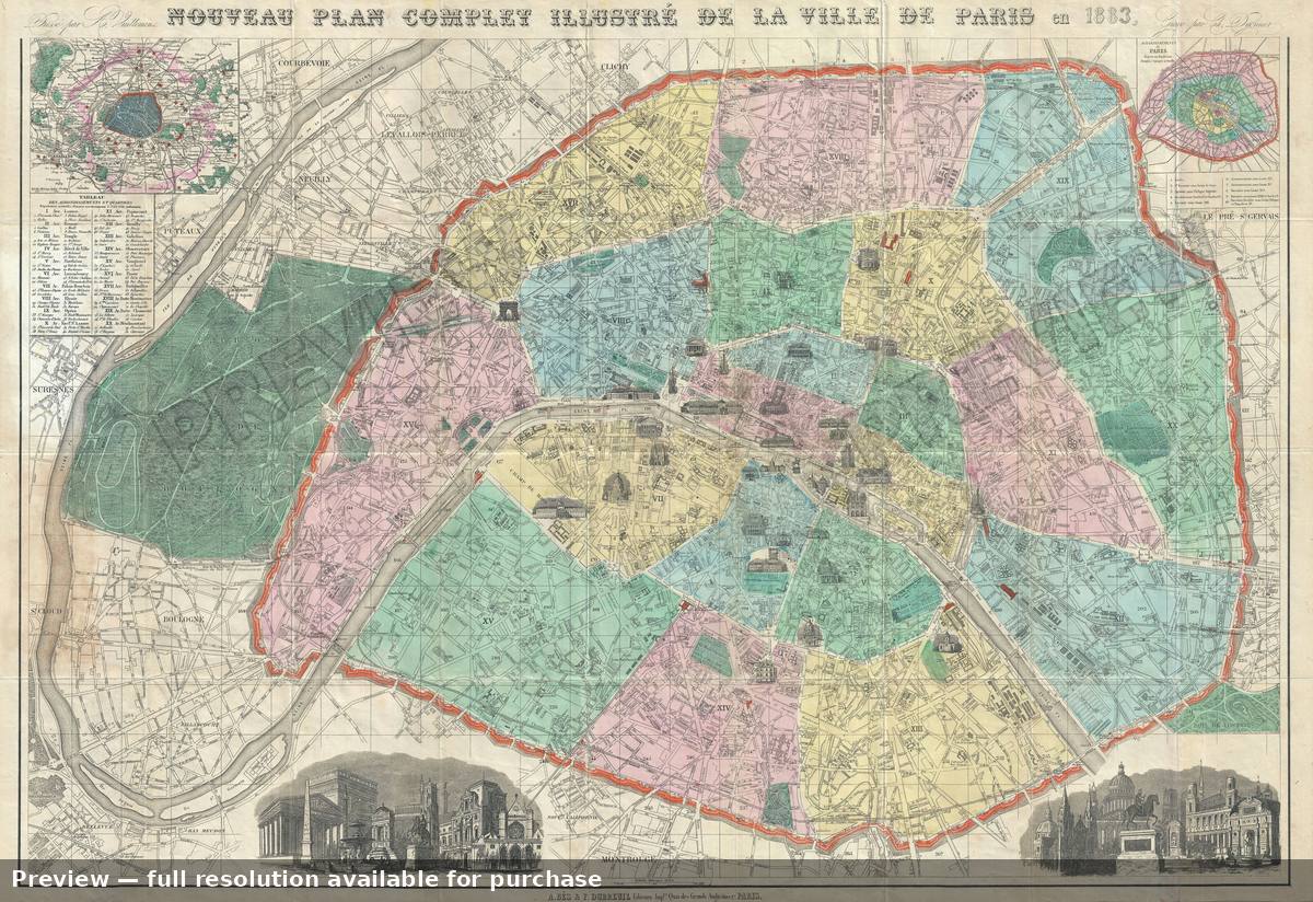 Nouveau Plan Paris, 1883
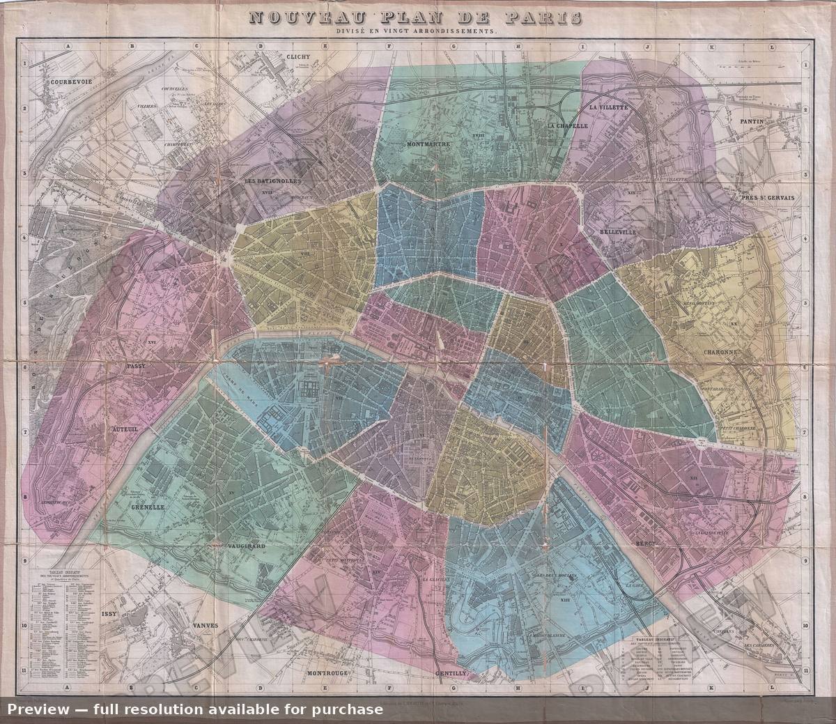 Nouveau Plan Paris, 1899
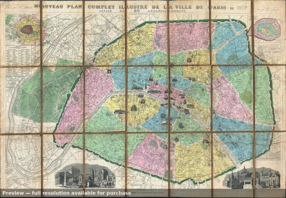 Paris, 1877
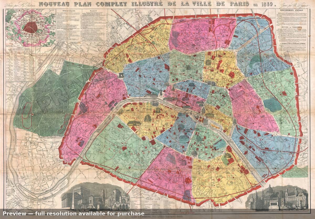 Paris, 1889
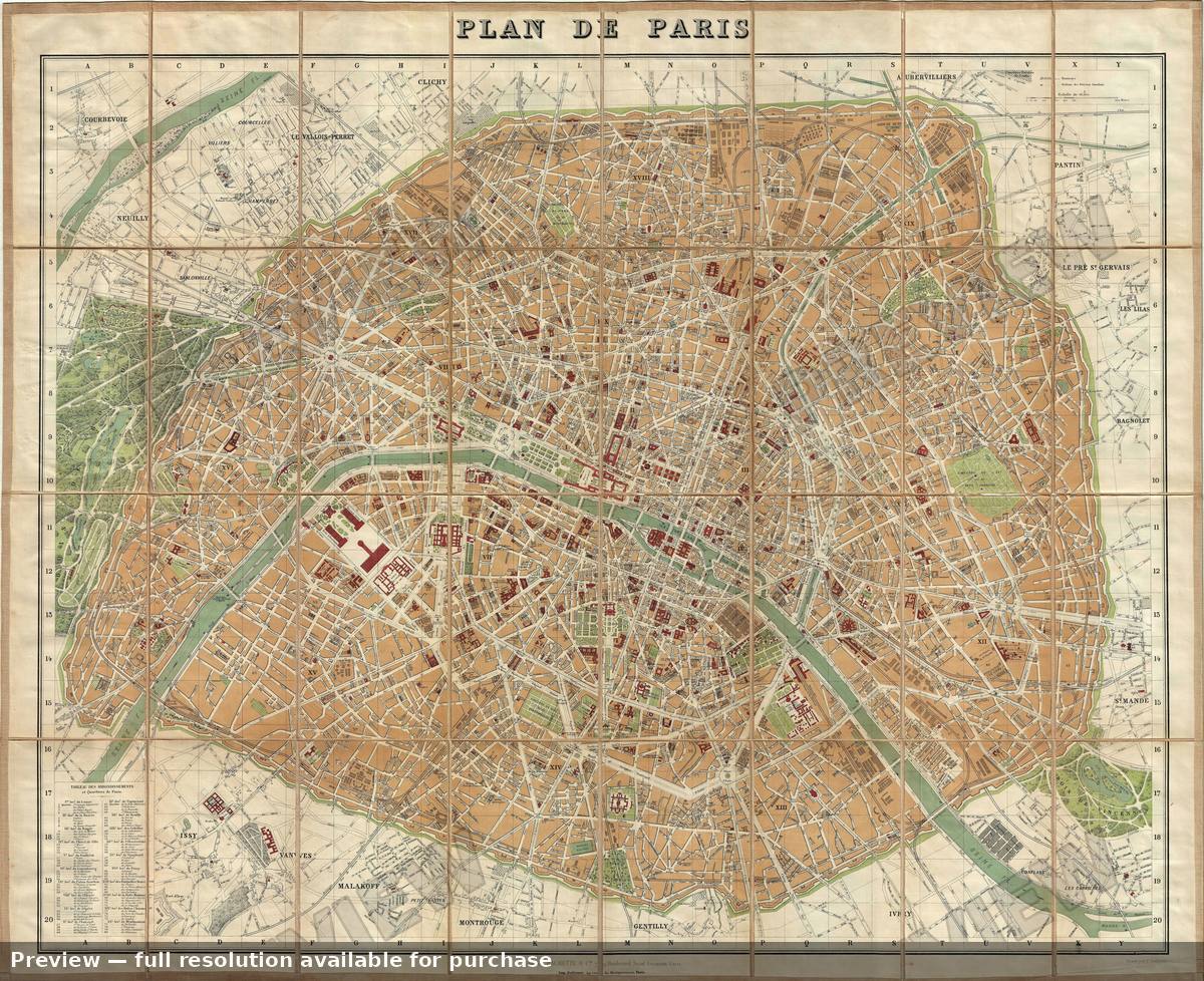 Paris, 1891
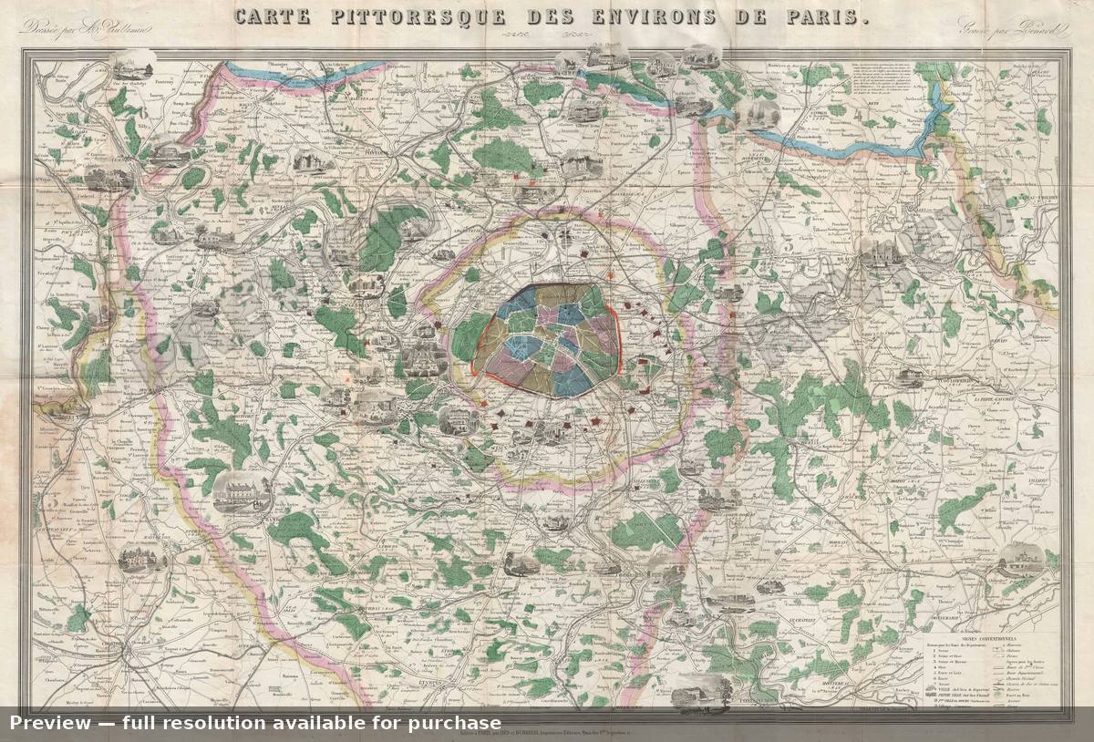 Paris Environs, 1870
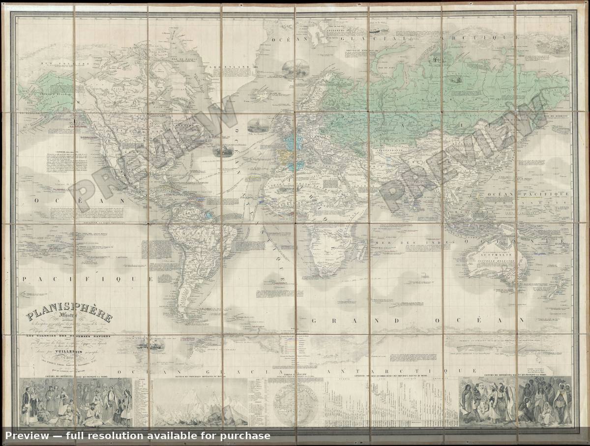 Planisphere, 1857
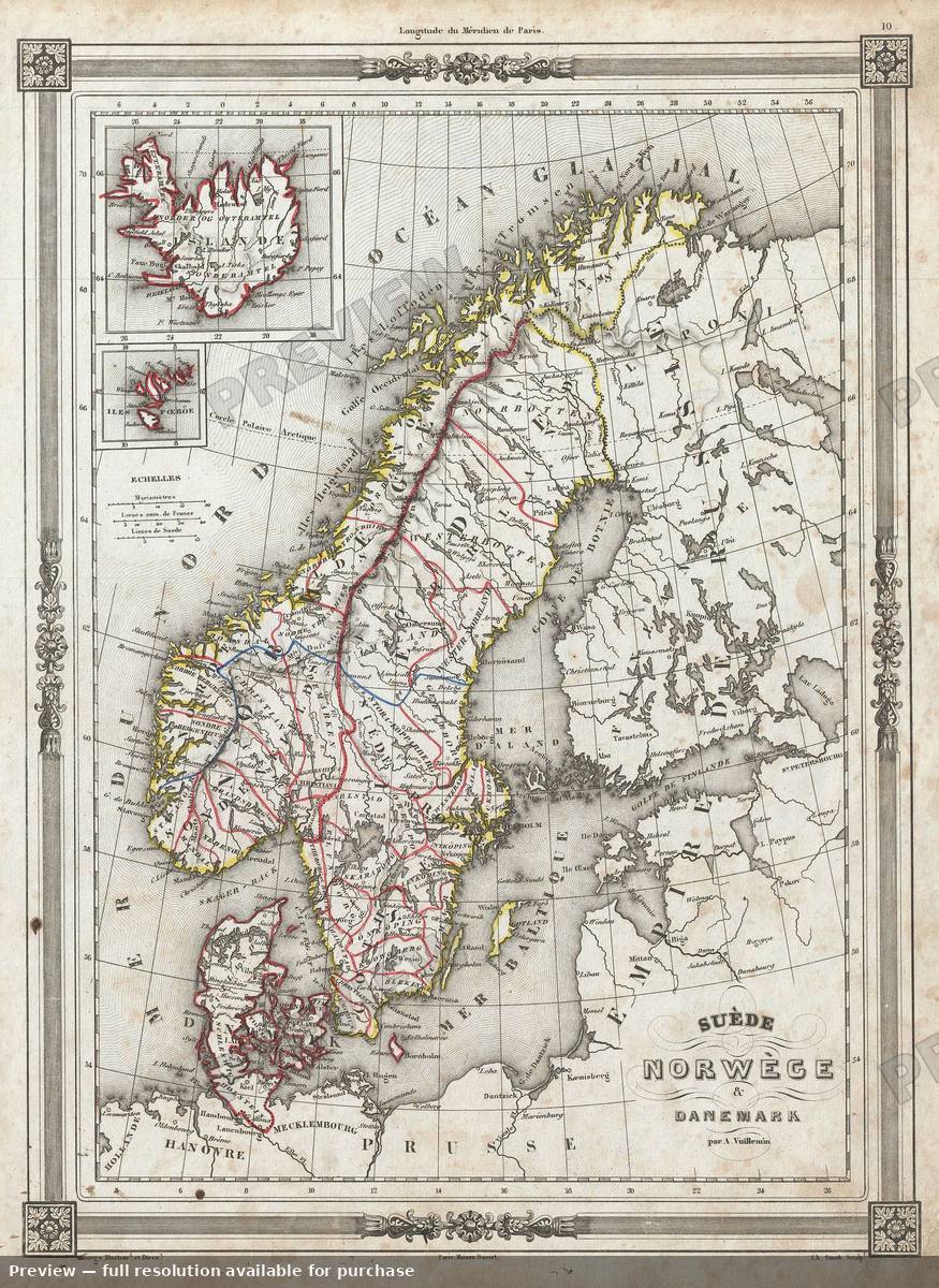 Sweden Norway Denmark, 1852
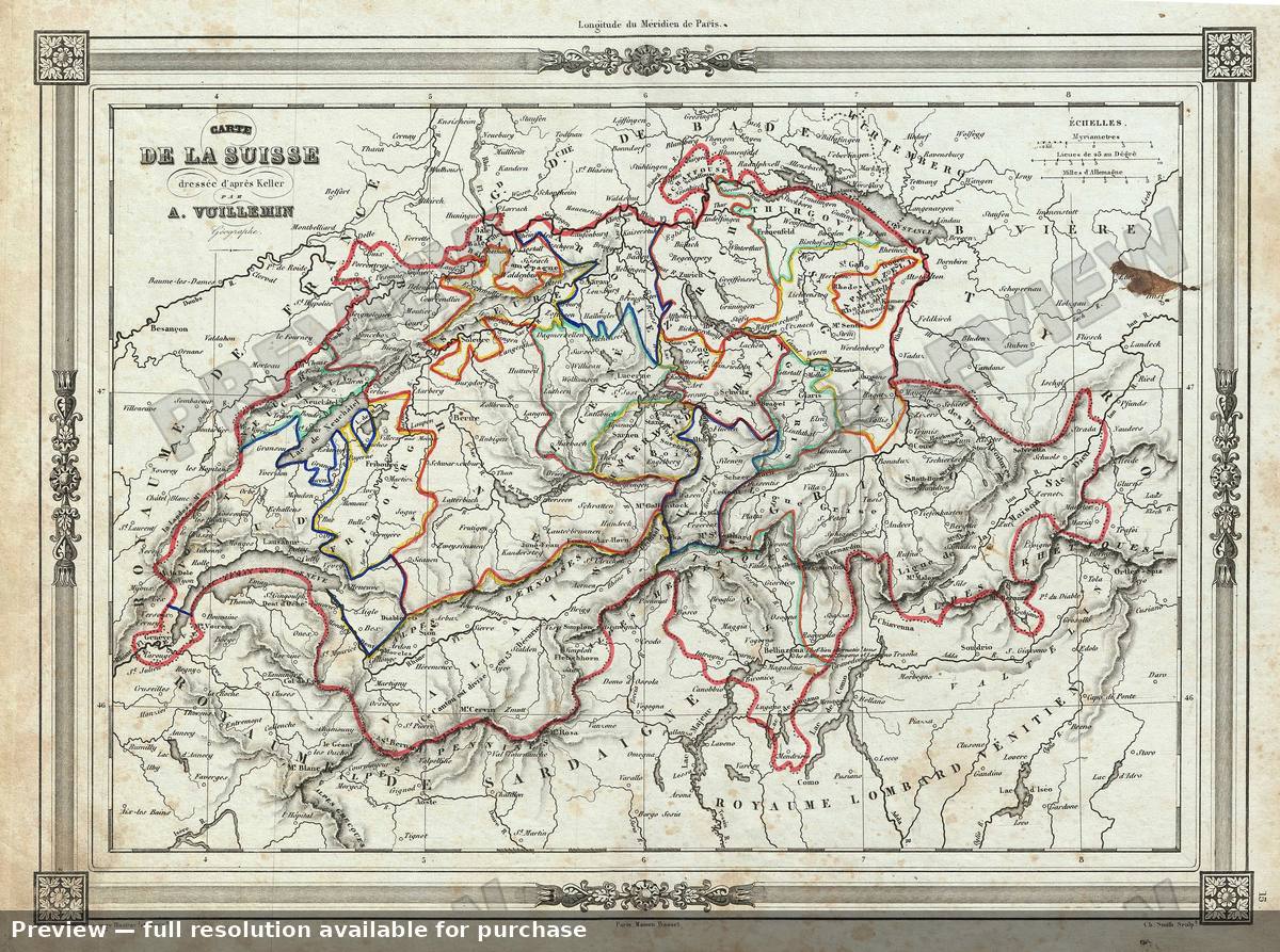 Switzerland, 1852
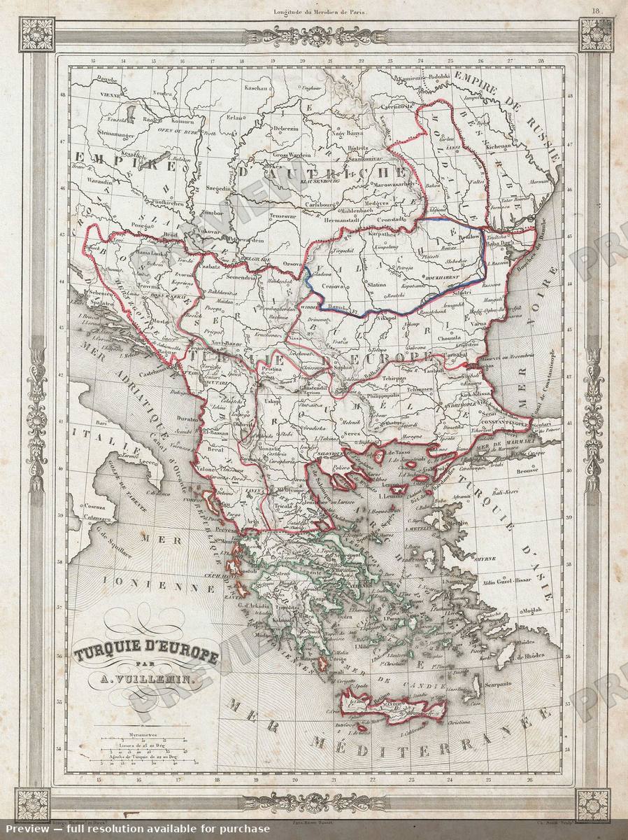 Turkey Europe, 1852