Find the place history remembers
Antique Maps by Valentine
23 antique maps in the Meridian library. Every map is available as a full-resolution download for $4.99 — the previews below are watermarked and reduced in size.
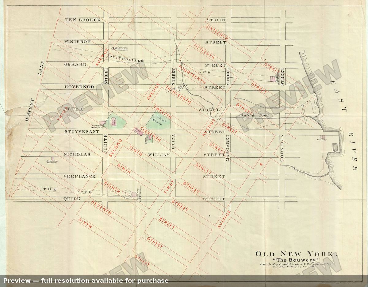 Bowery, 1868
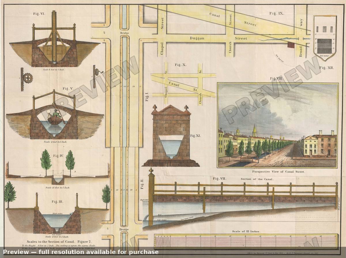 Canal Street New York City, 1860
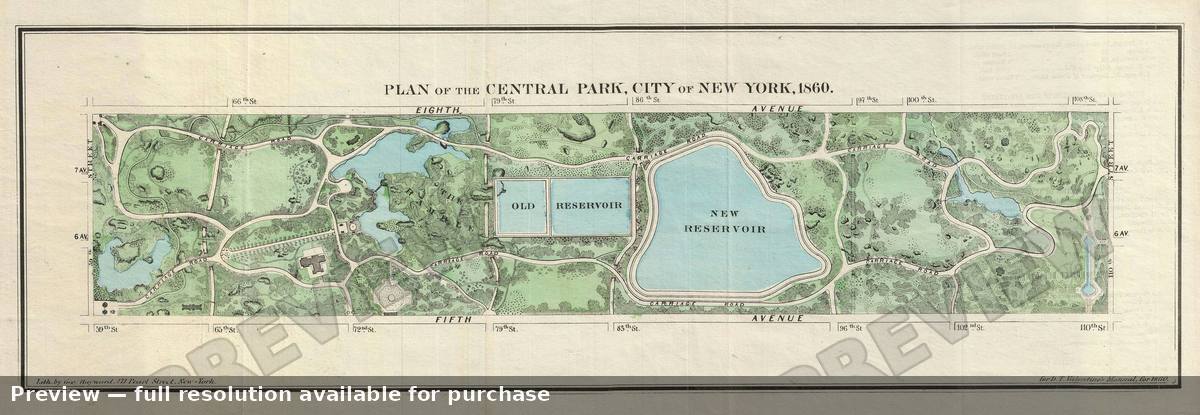 Central Park, 1860
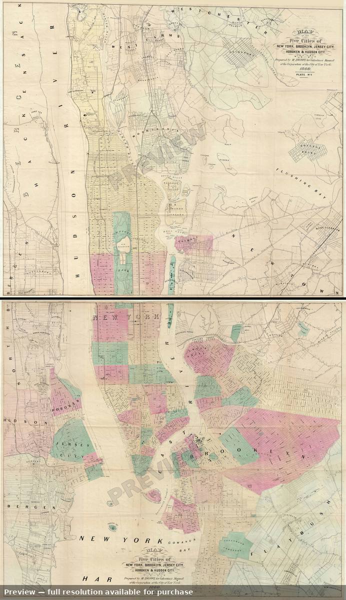 Five Cities, 1860
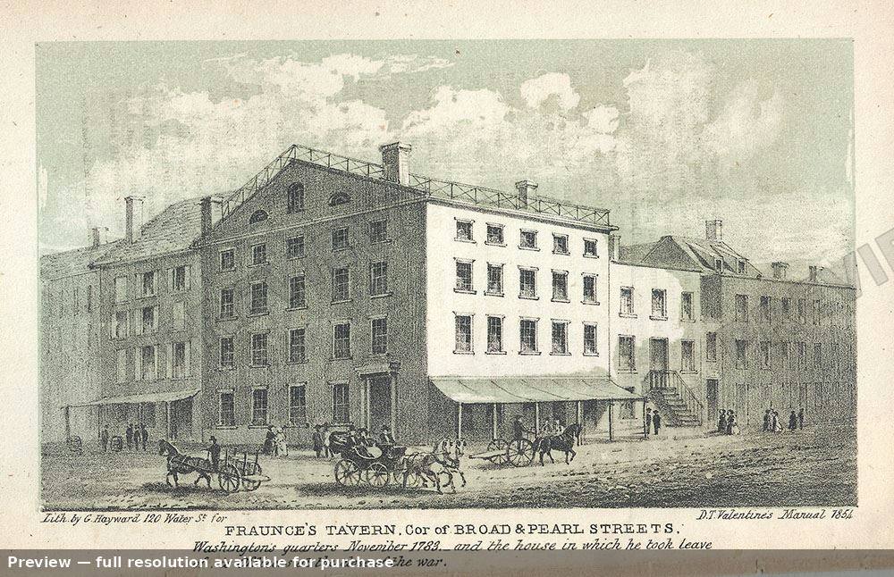 Fraunces Tavern, 1854
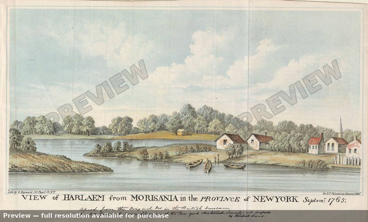 Harlem, 1863
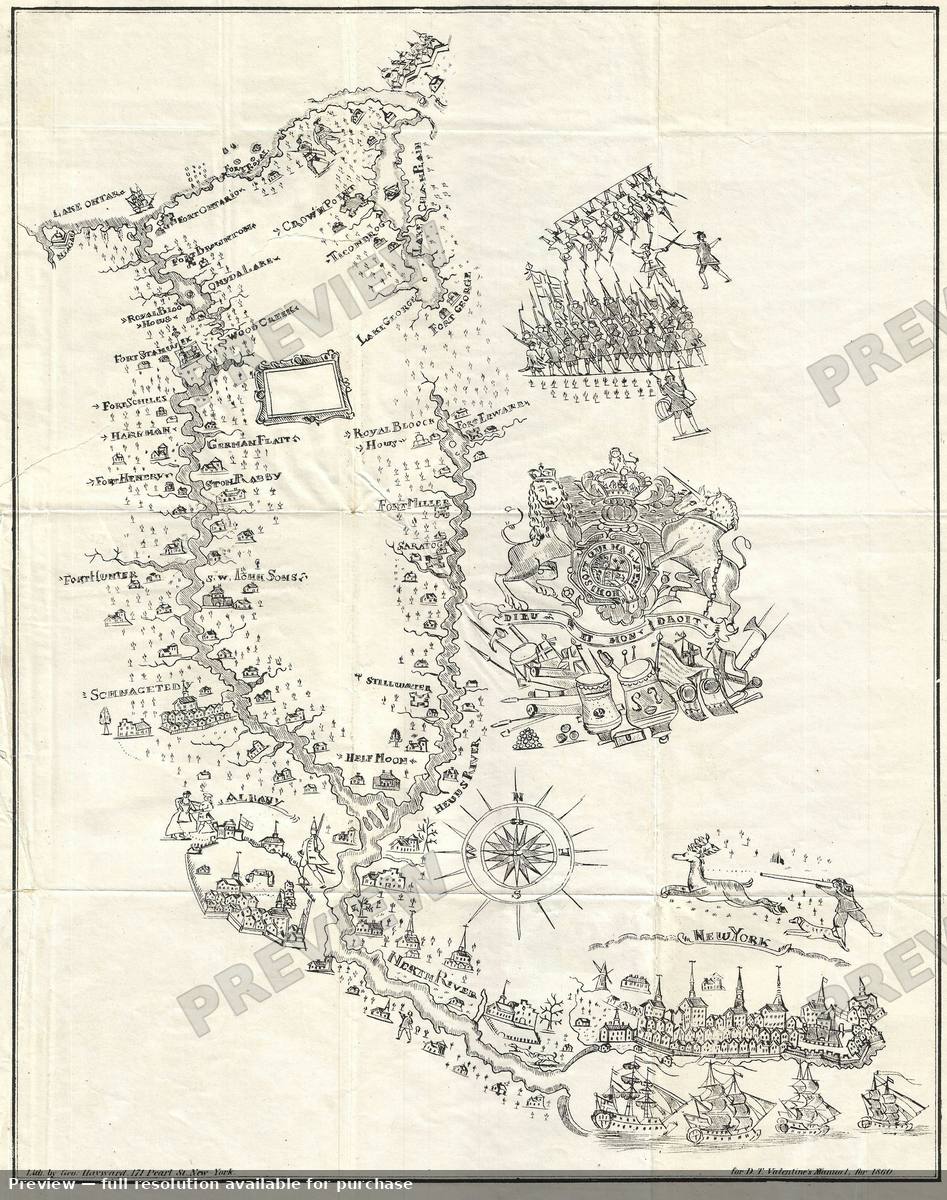 Hudson Valley, 1860
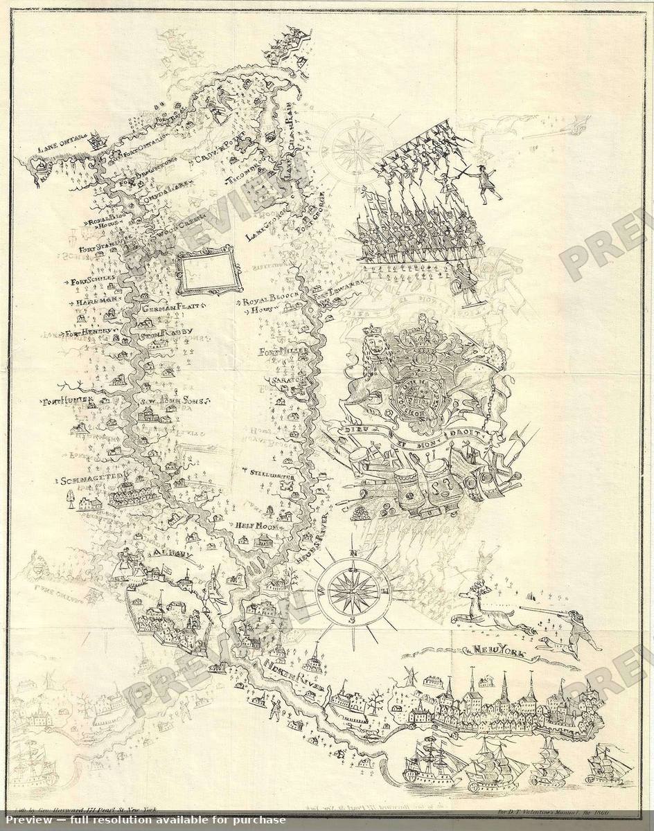 Hudson Valley 2, 1860
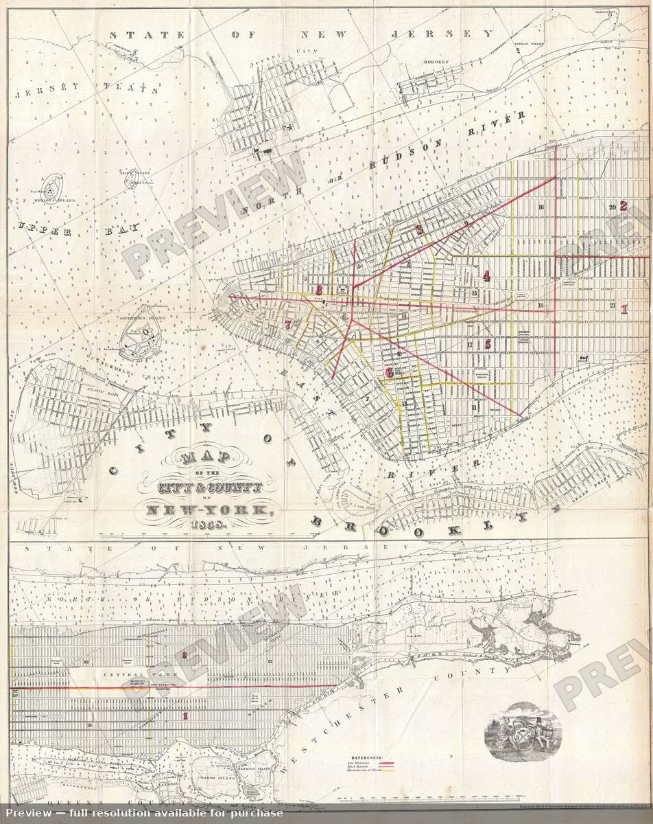 New York City, 1858
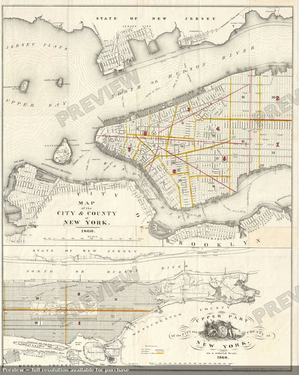 New York City, 1860
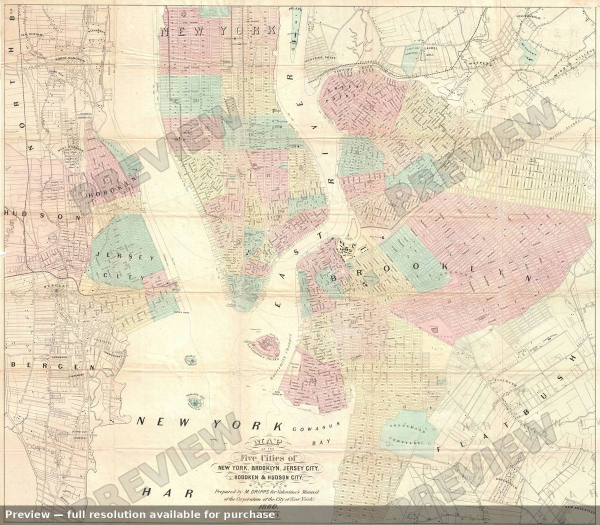 New York City 5cities, 1860
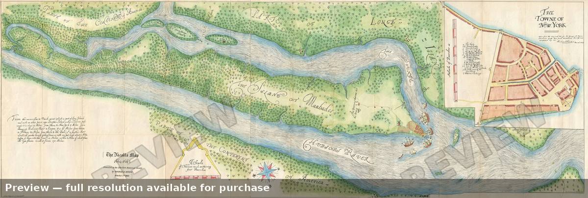 New York City Nicolls Map, 1863
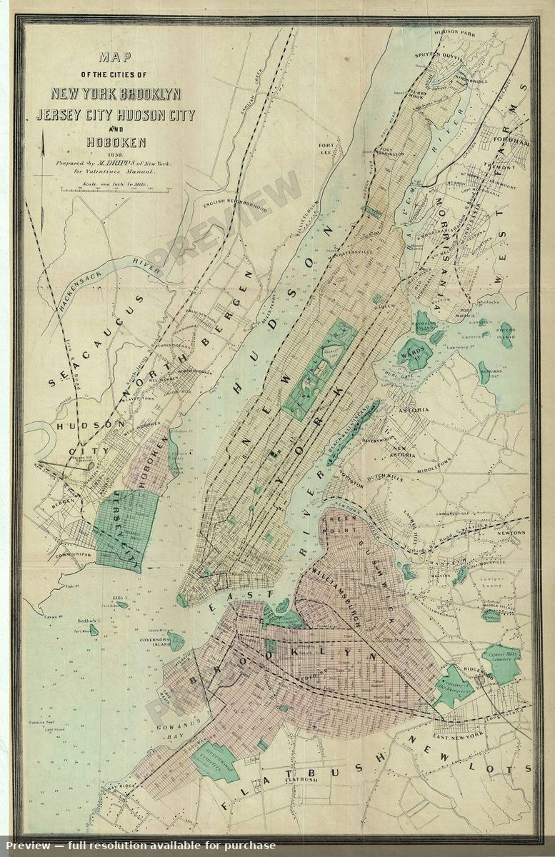 New York Five Cities, 1860
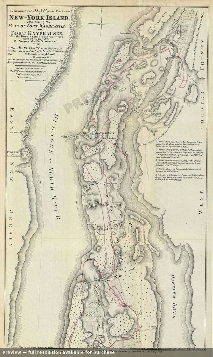 New York North, 1860
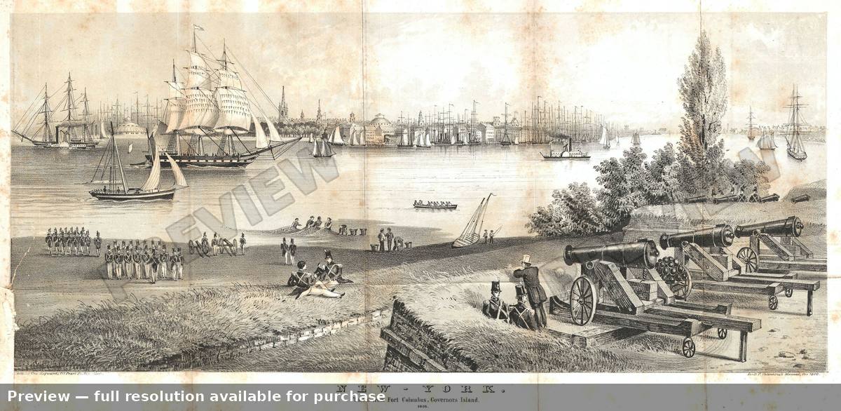 New York View, 1860
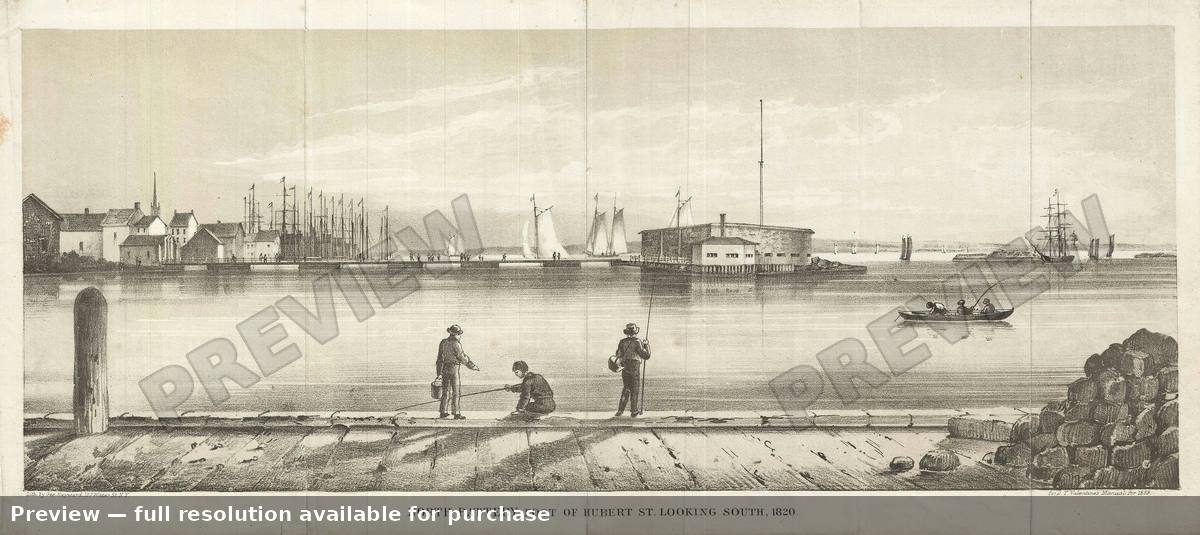 North Battery, 1859
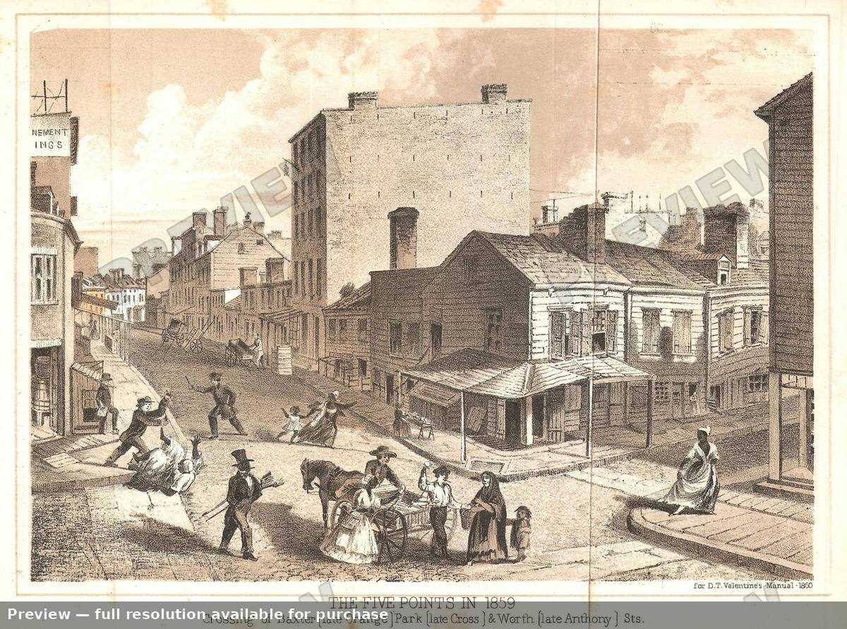 NYC Five Points Baxter, 1859
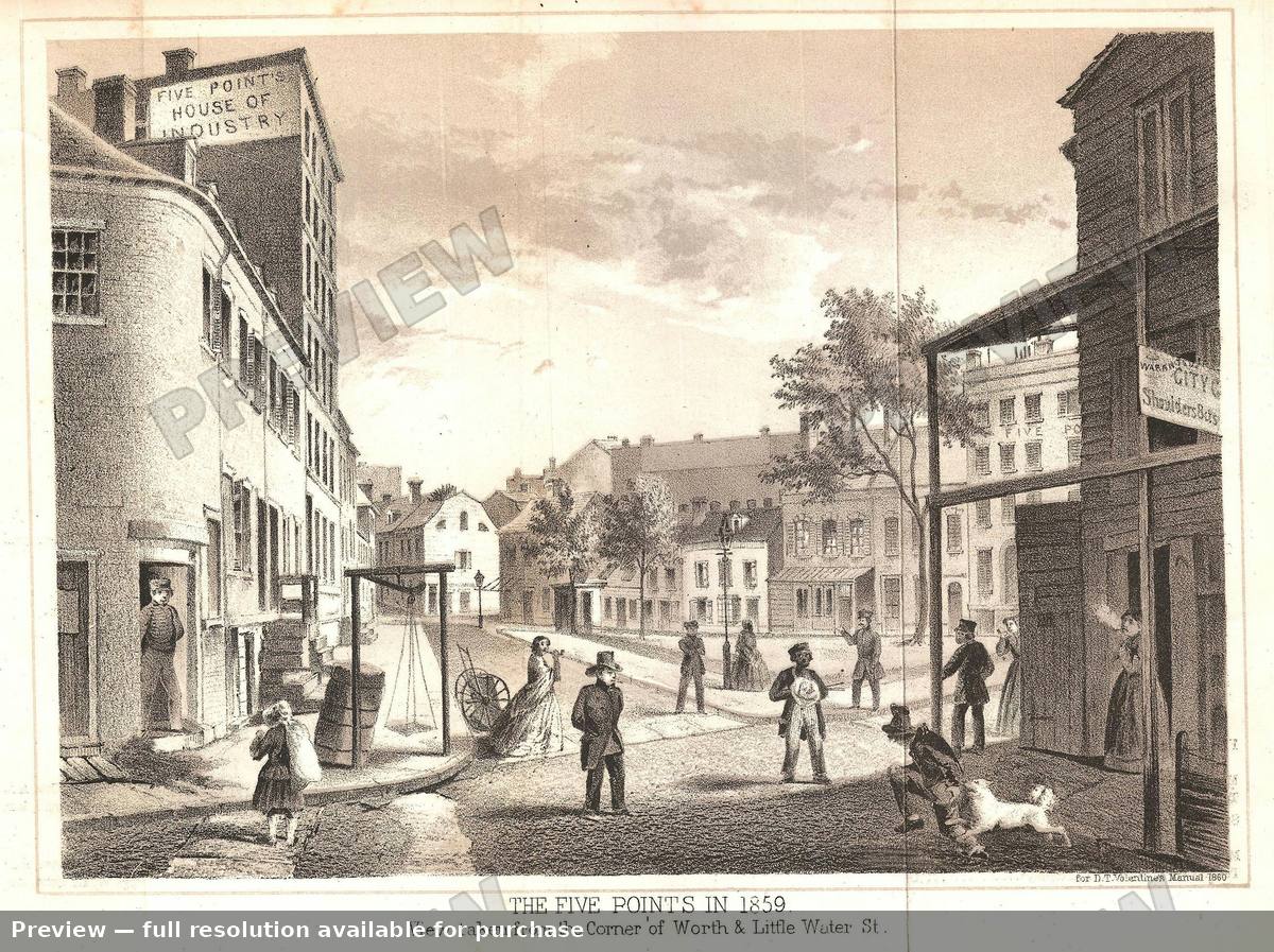 NYC Five Points Worth, 1859
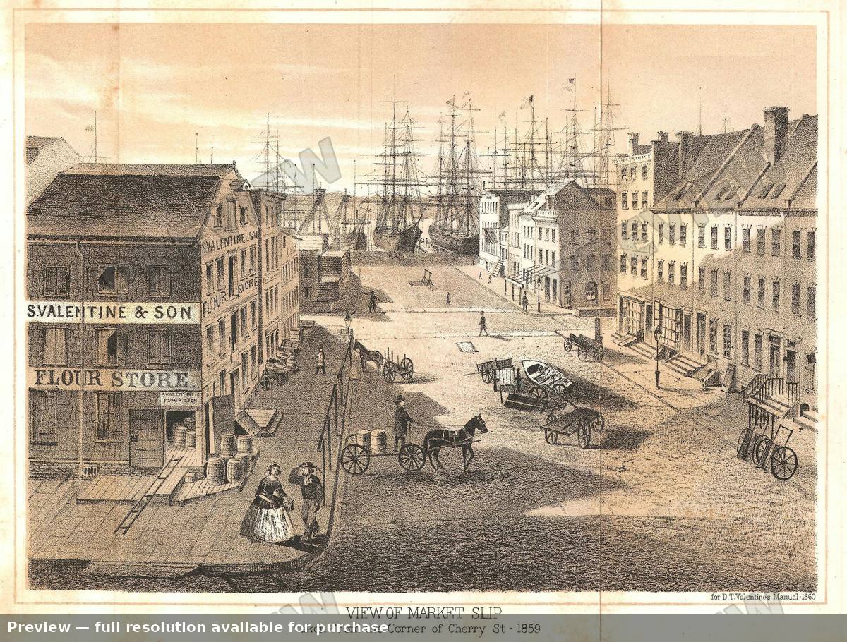 NYC Market Slip, 1859
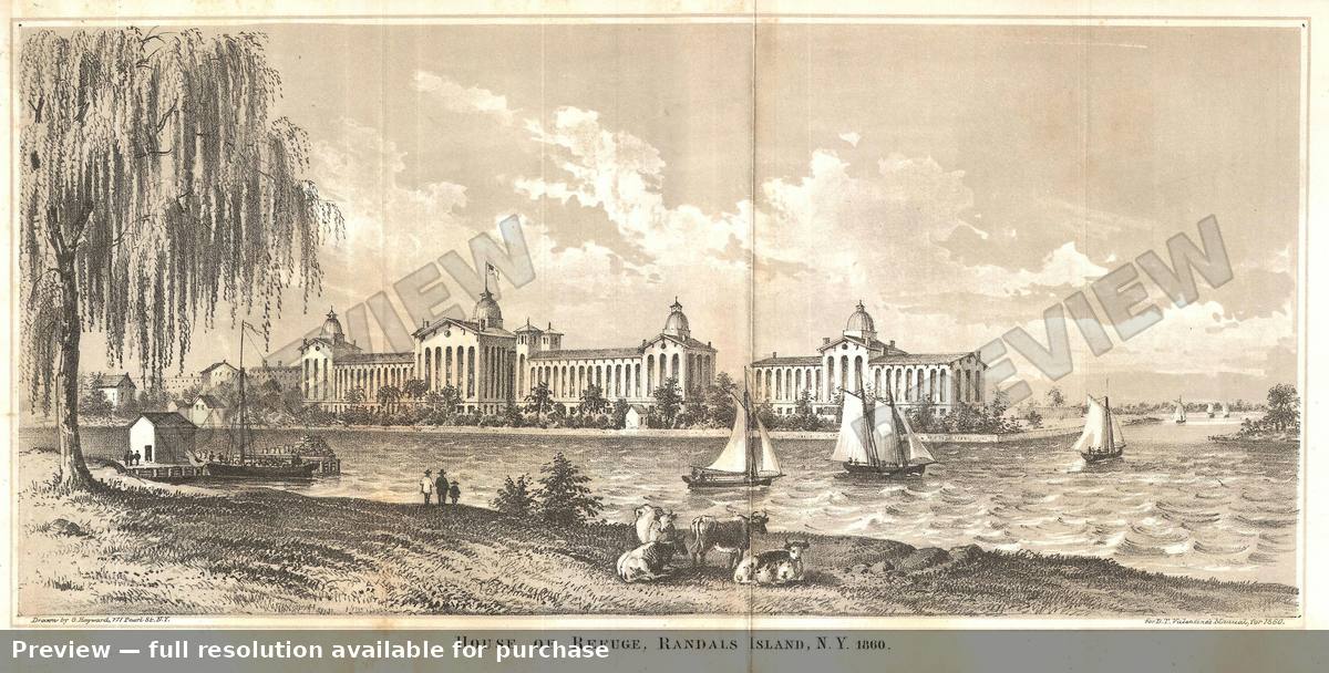 NYC Randals Island, 1860
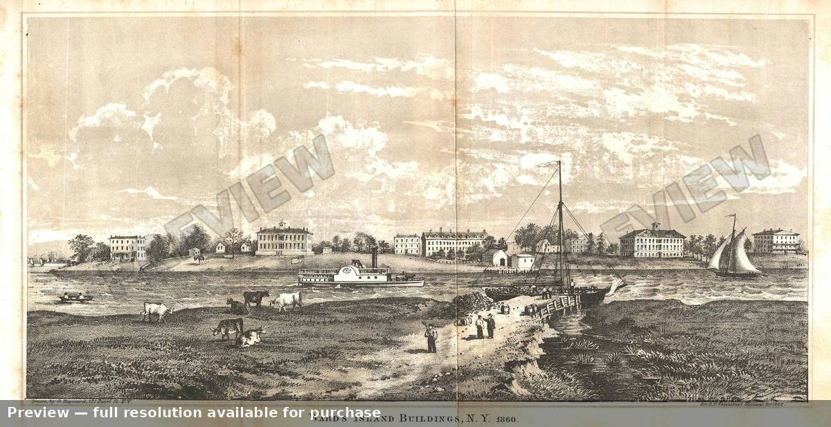 NYC Wards Island, 1860
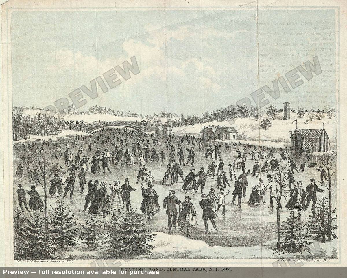 Skating Pond, 1861
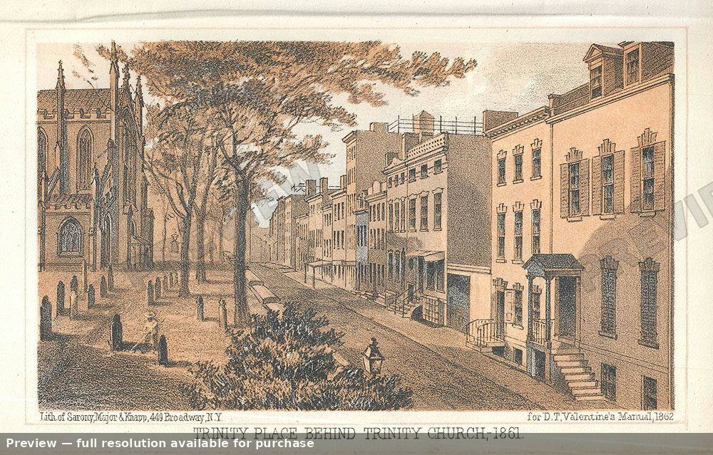 Trinity Place, 1862