MERIDIAN
Find the place history remembers

Antique Maps by Uscs

393 antique maps in the Meridian library. Every map is available as a full-resolution download for $4.99 — the previews below are watermarked and reduced in size.
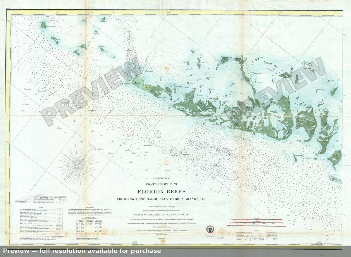
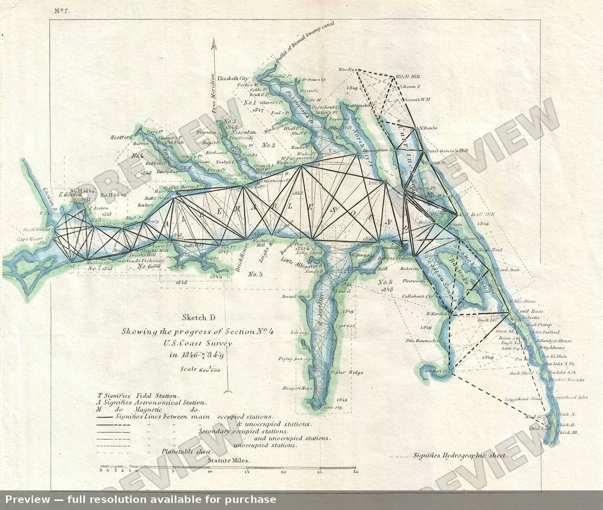
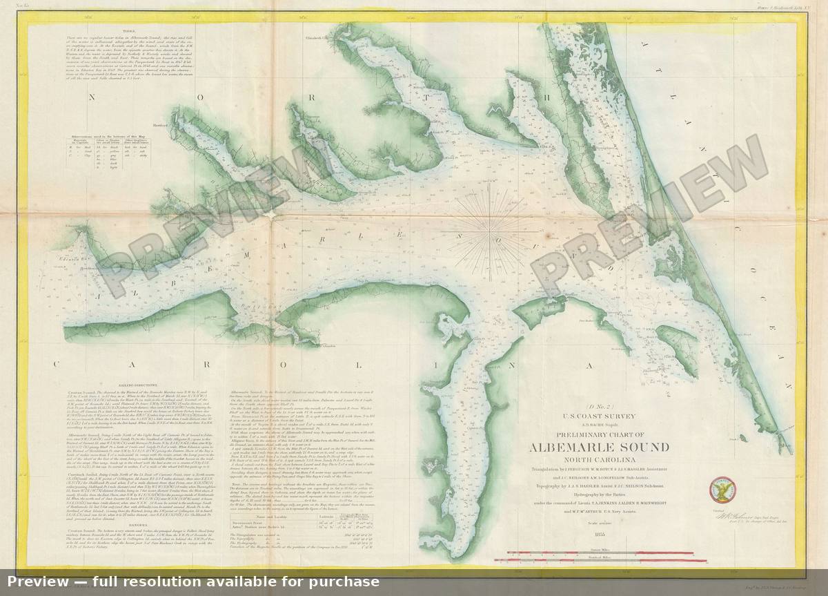
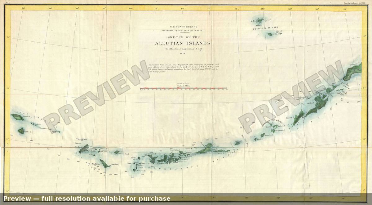
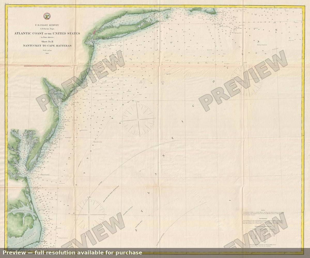
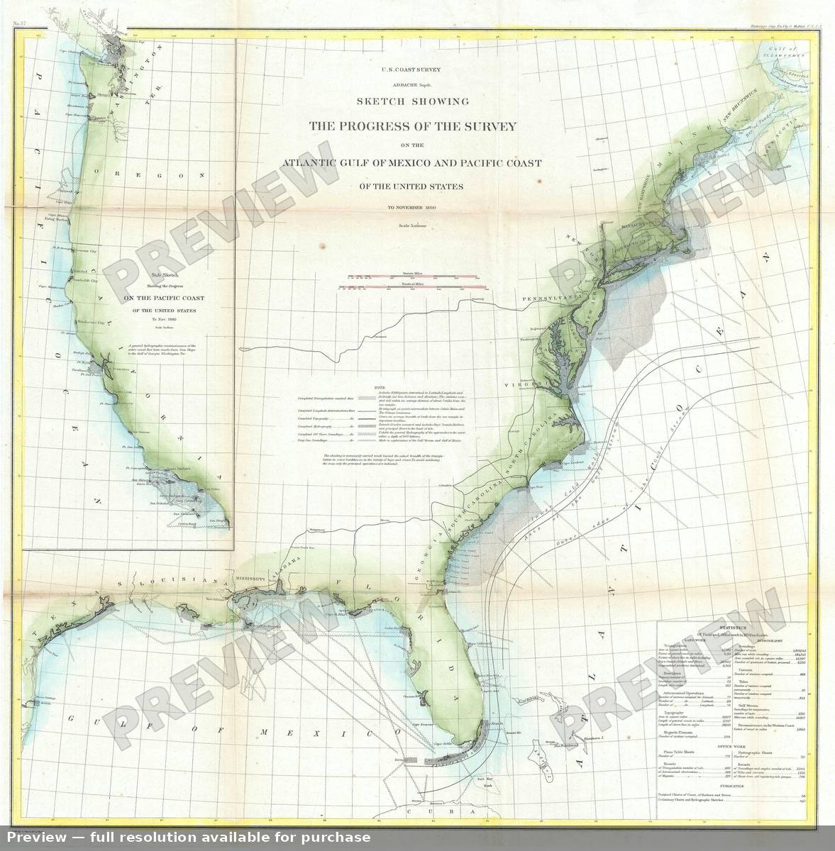
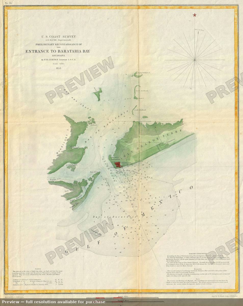
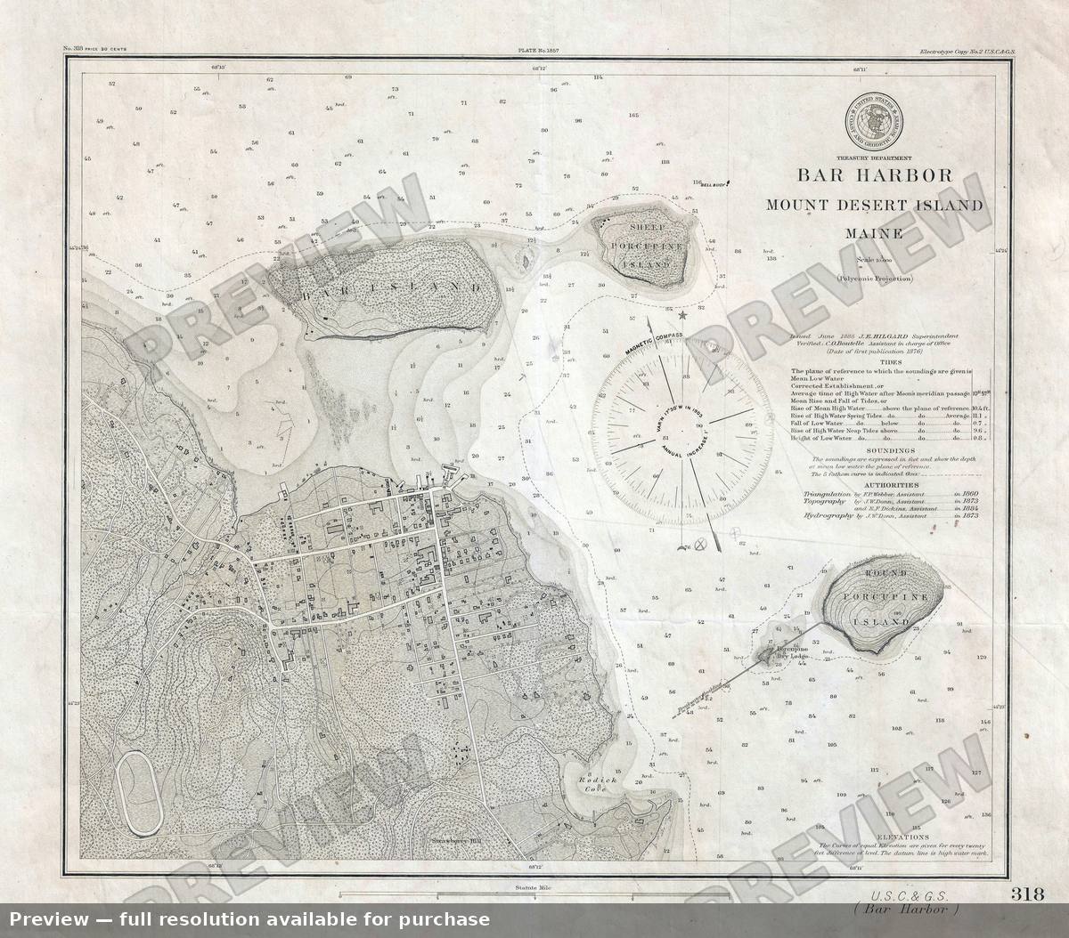
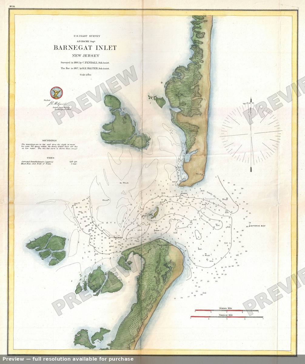
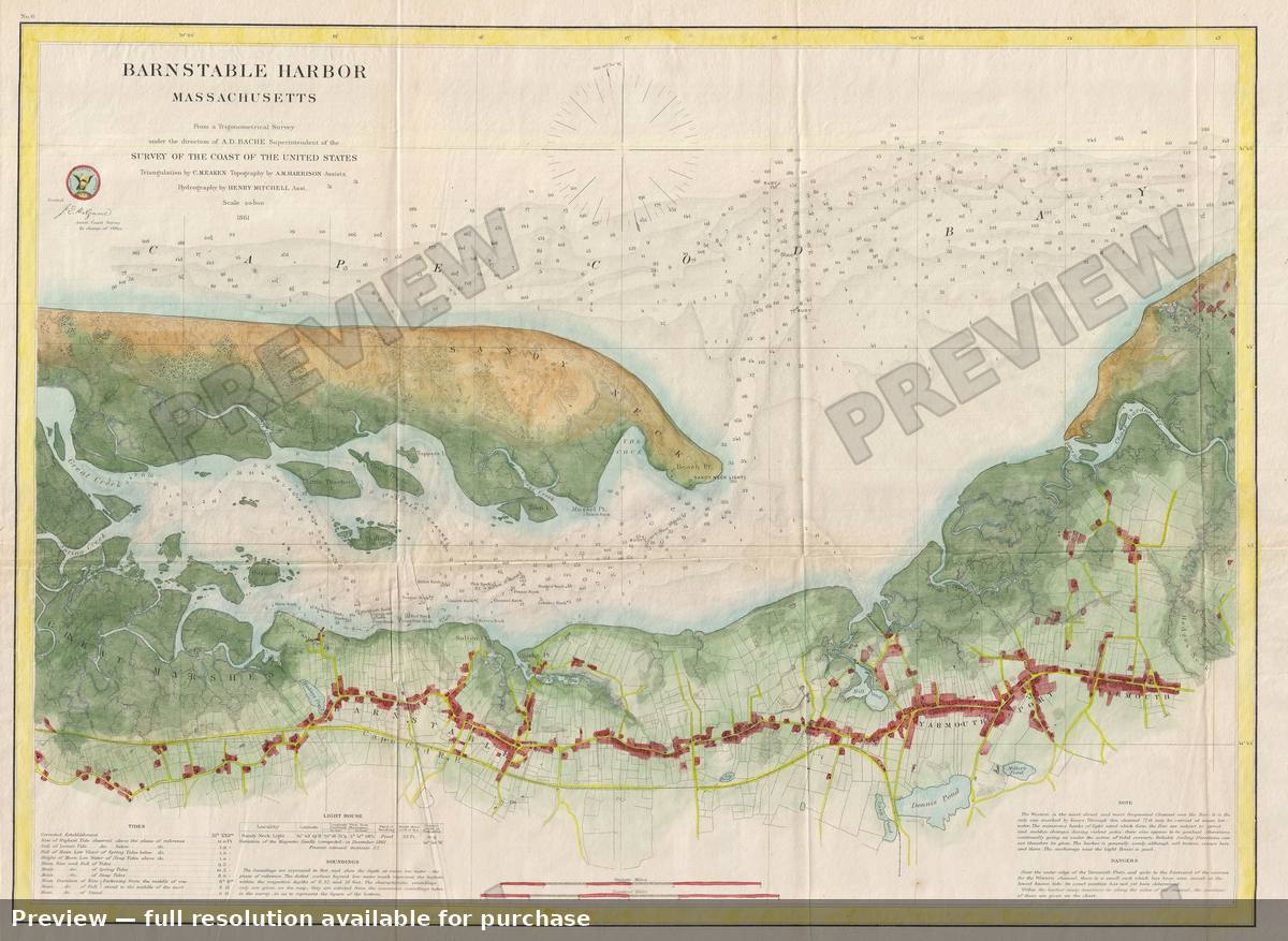
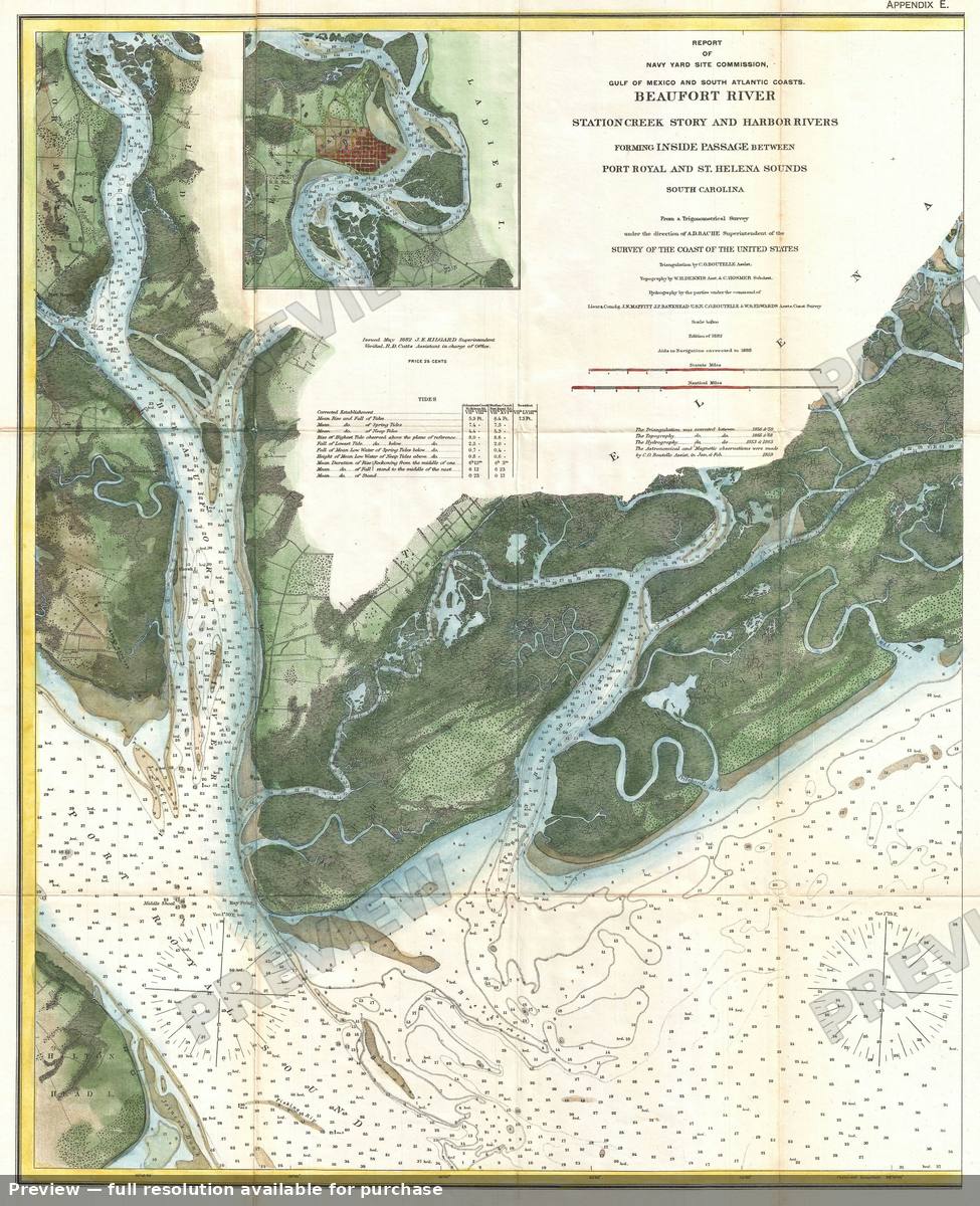
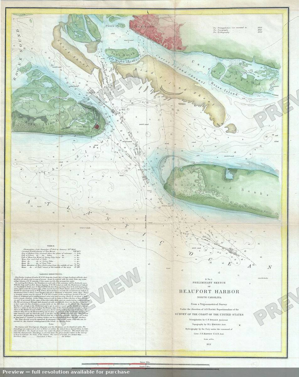
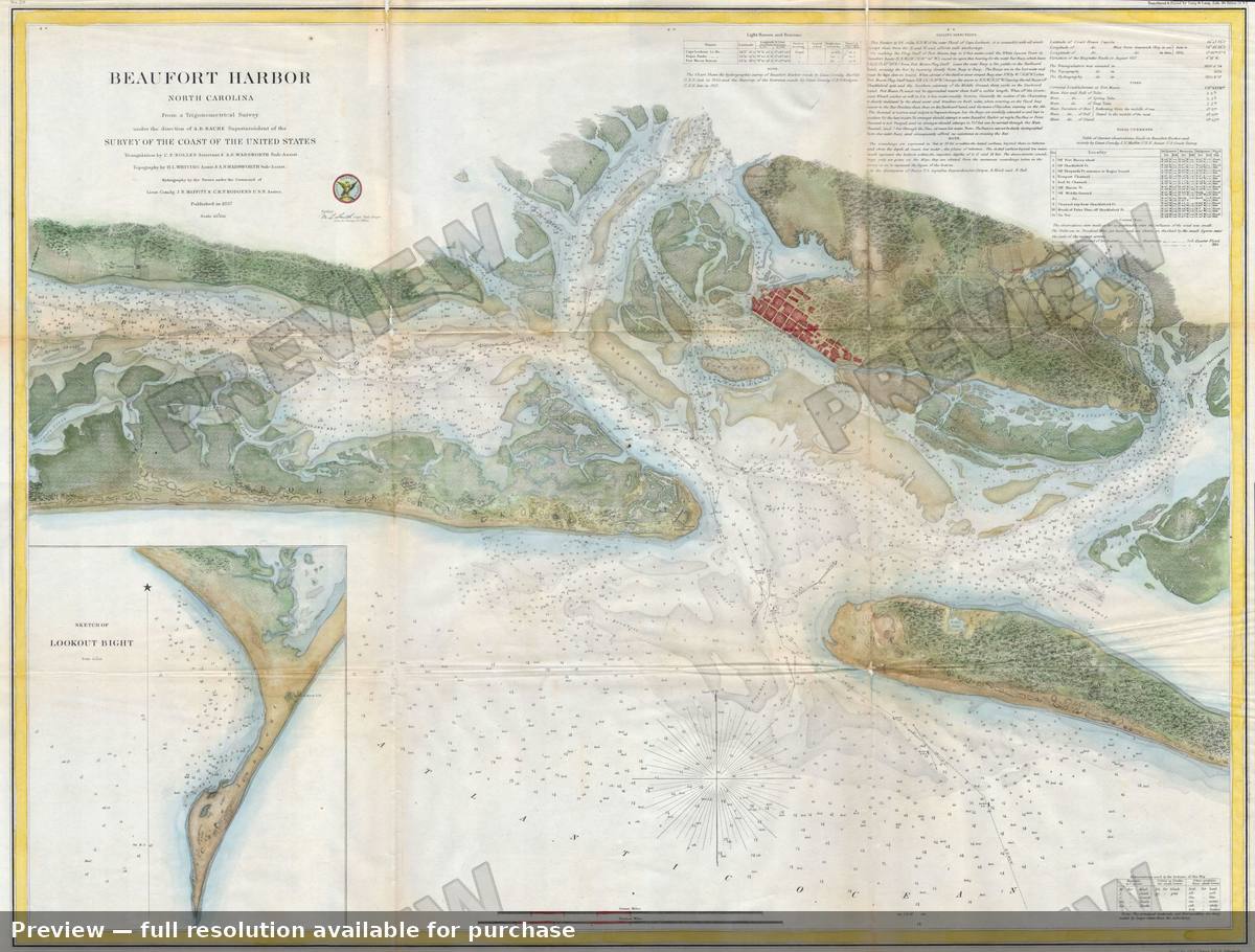
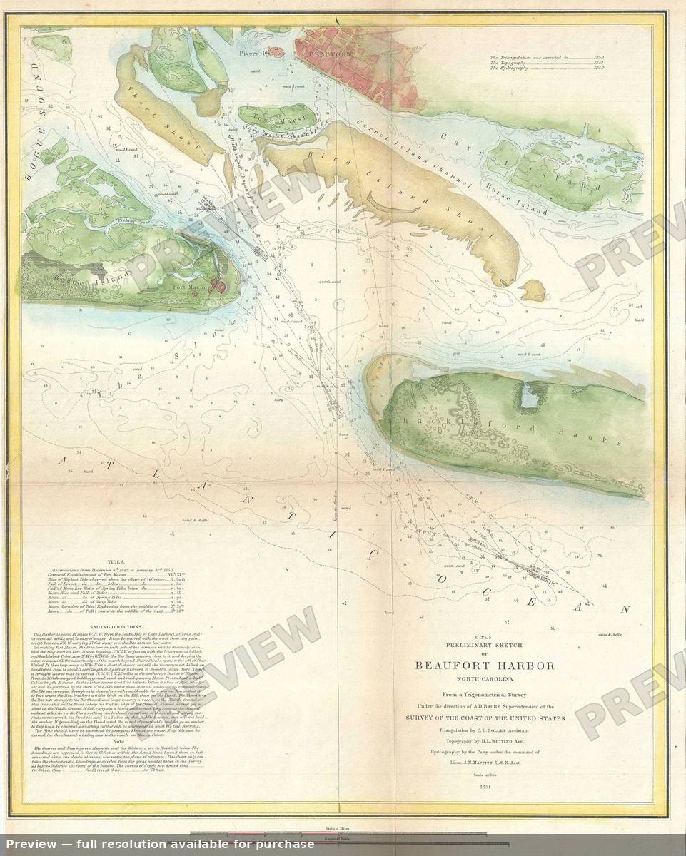
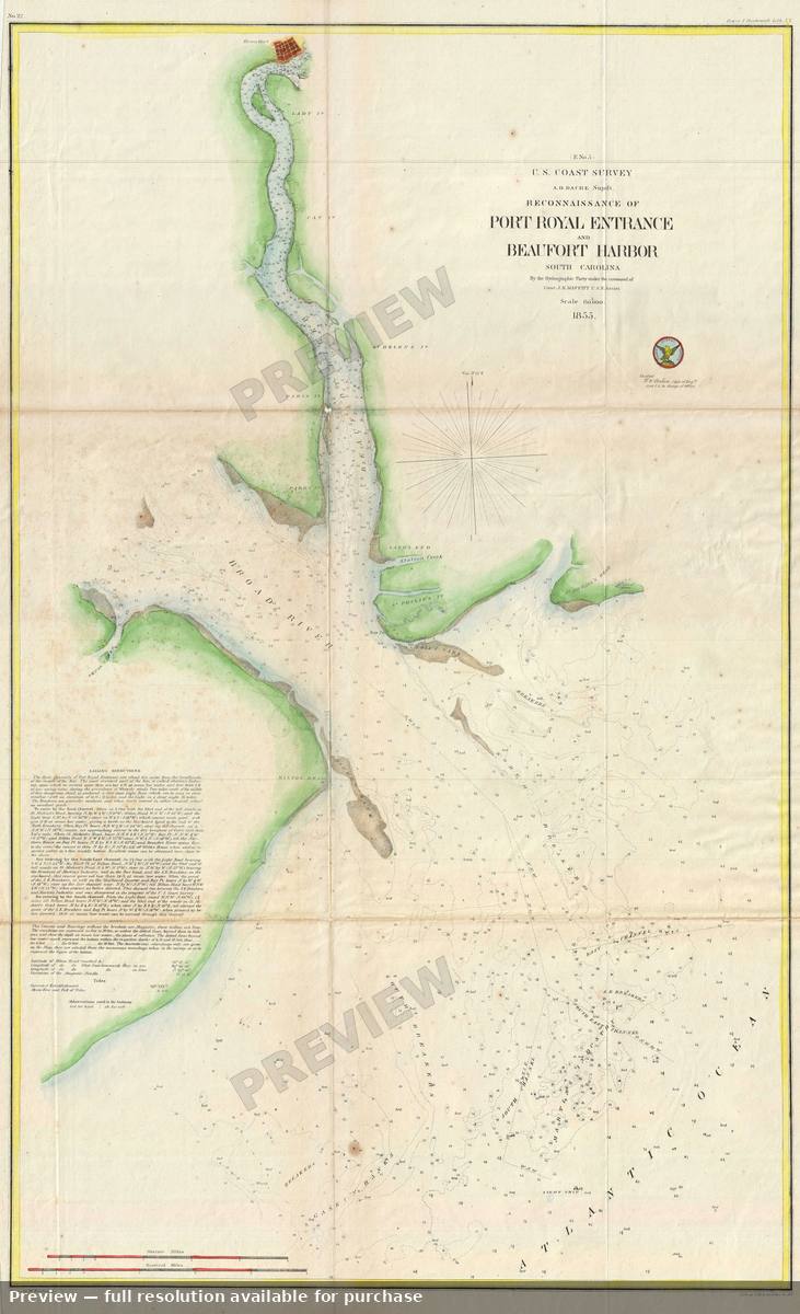
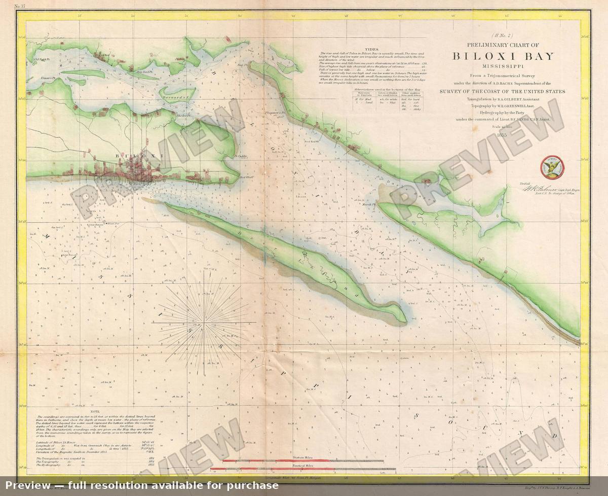
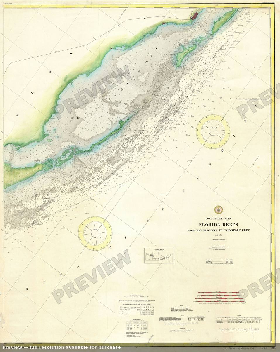
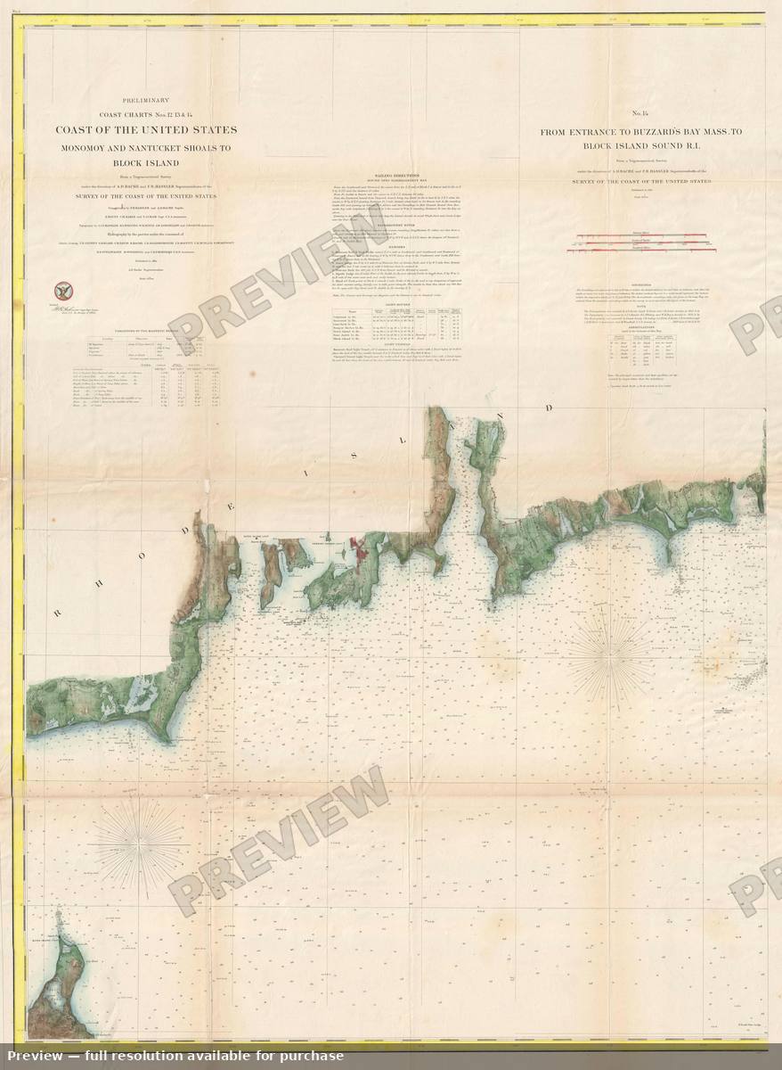
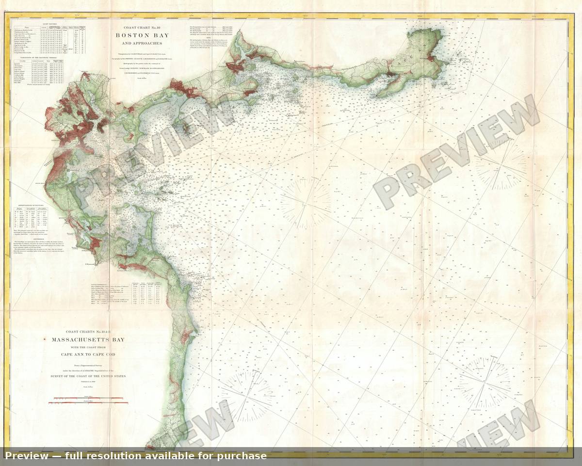
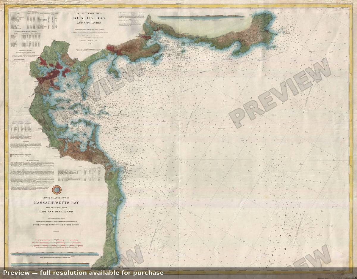
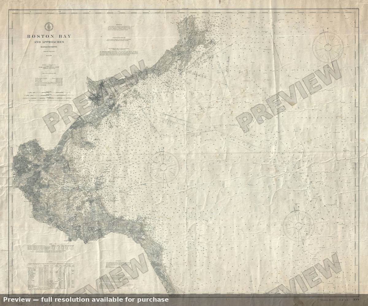
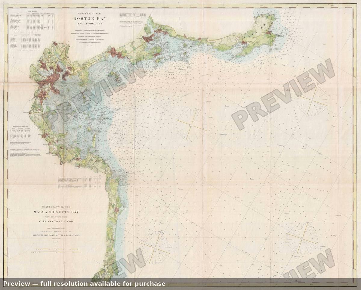
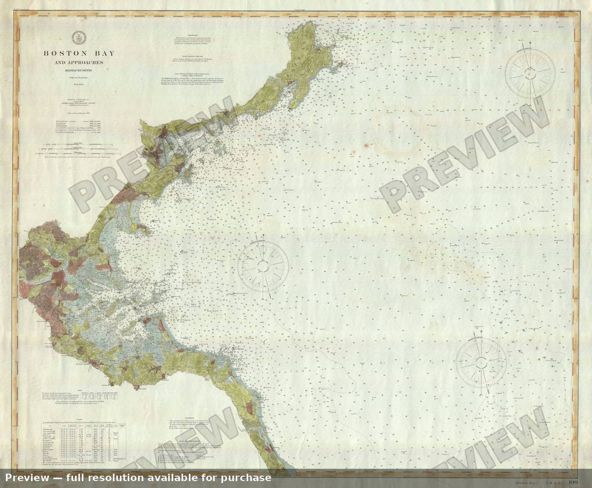
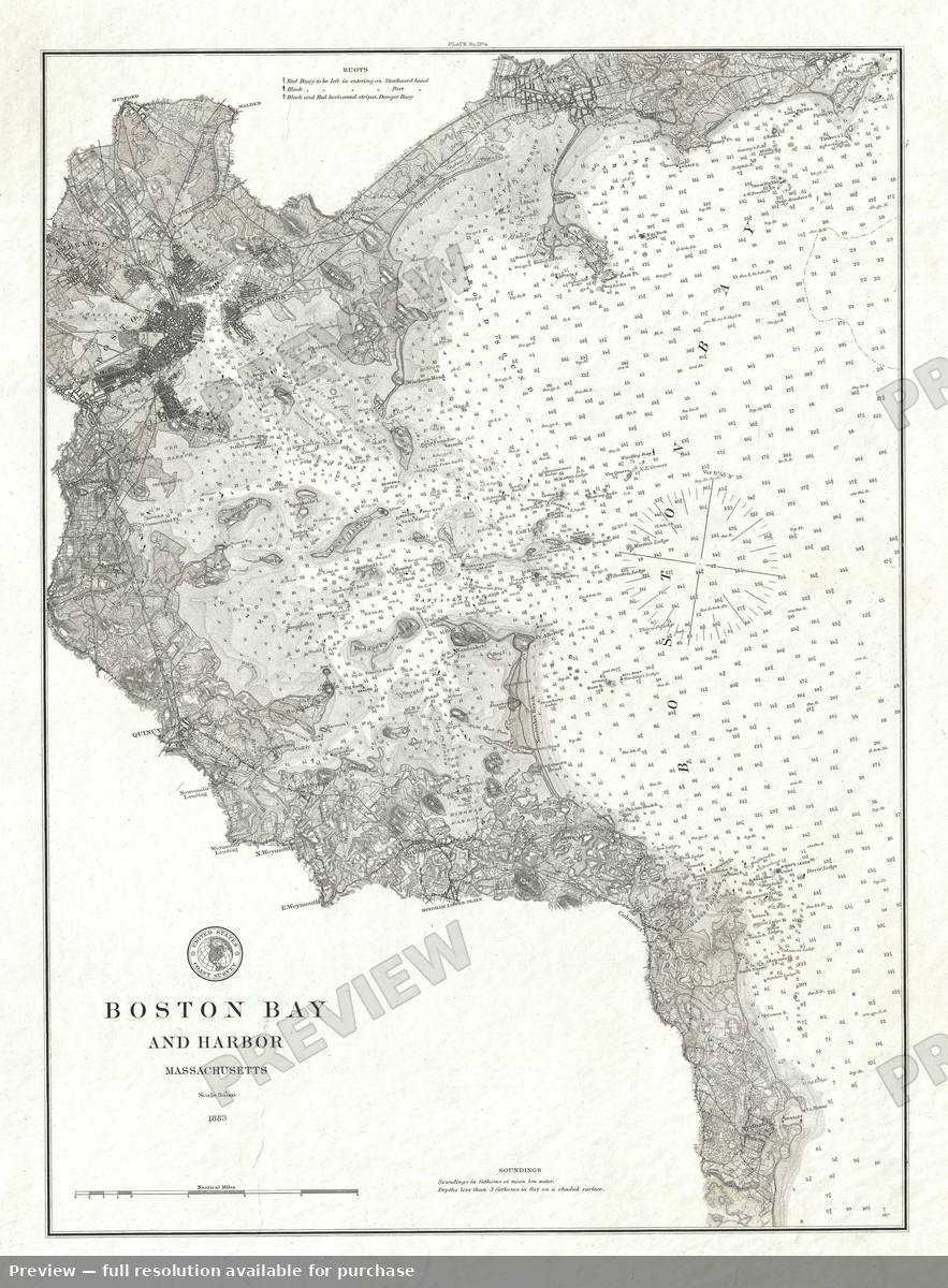
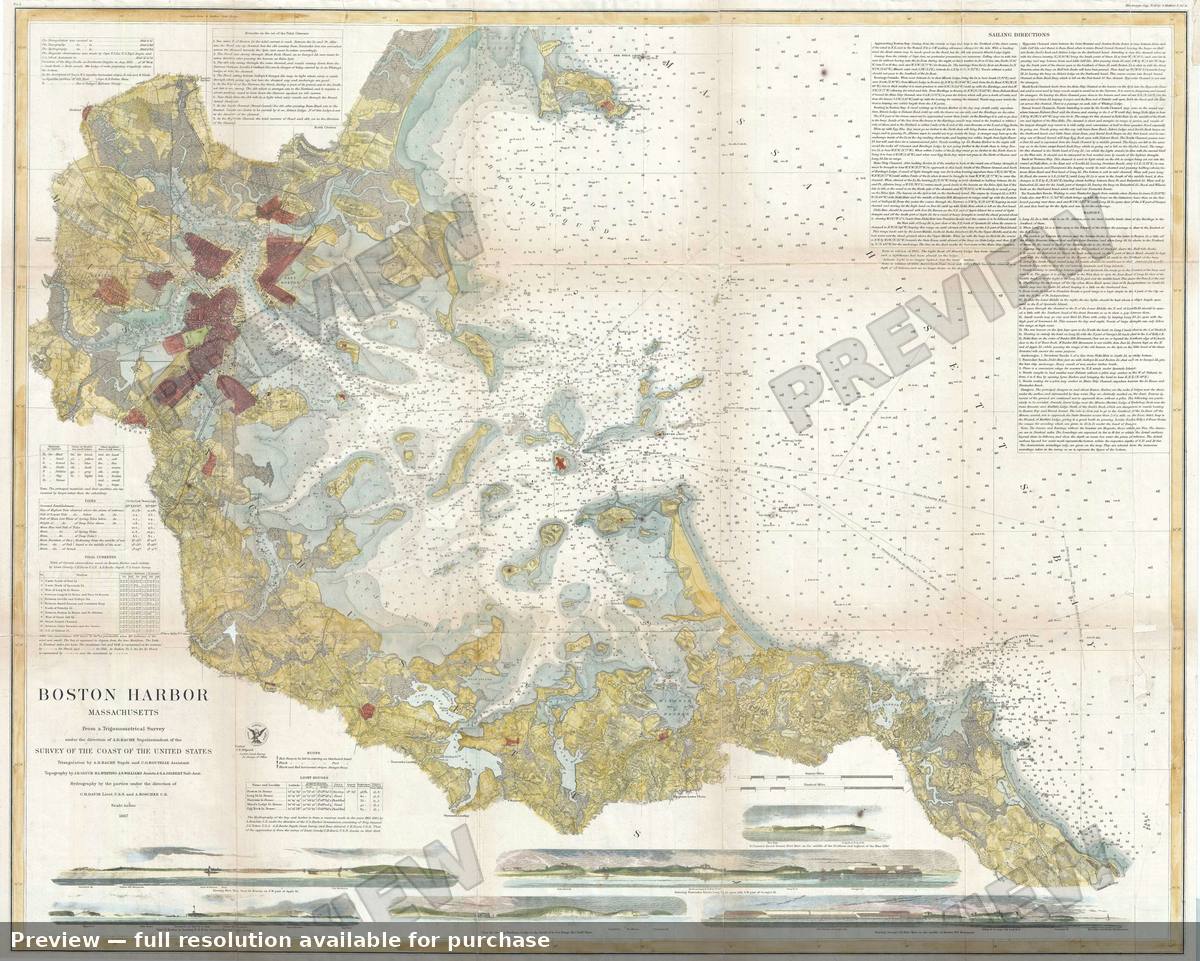
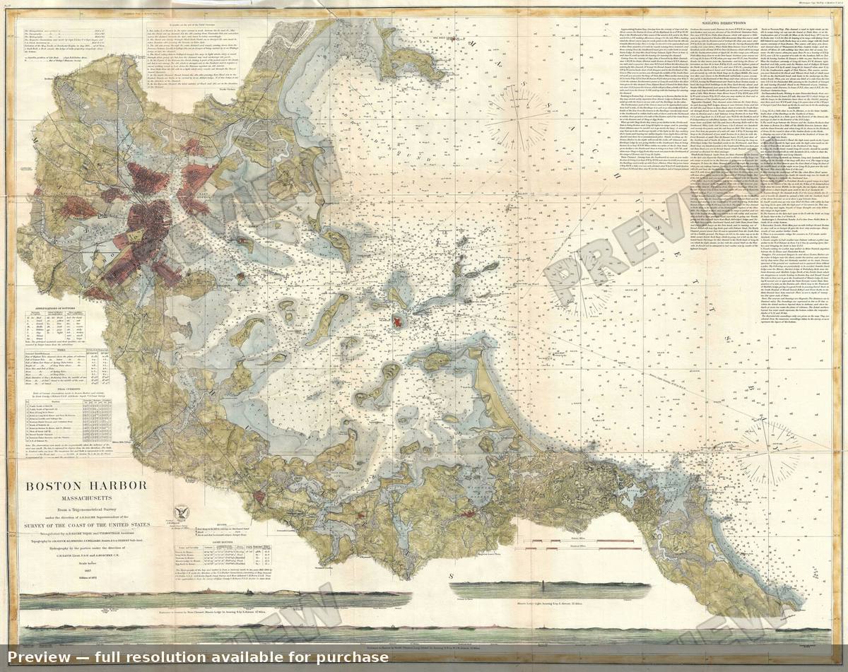
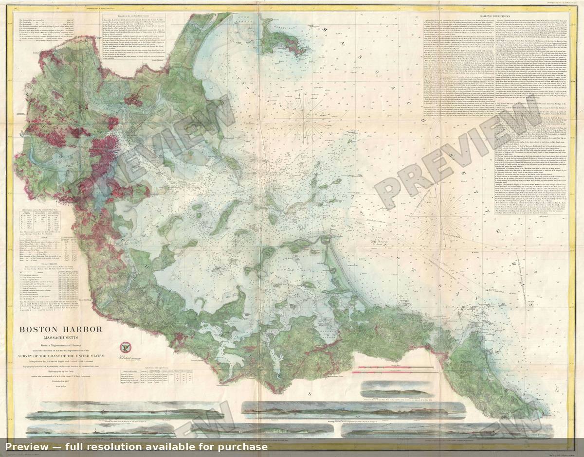
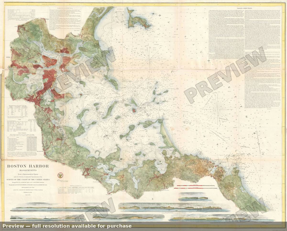
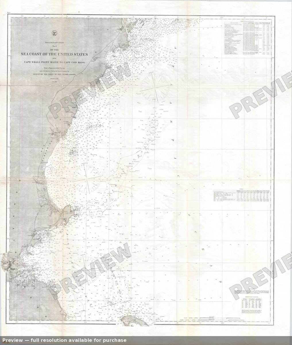
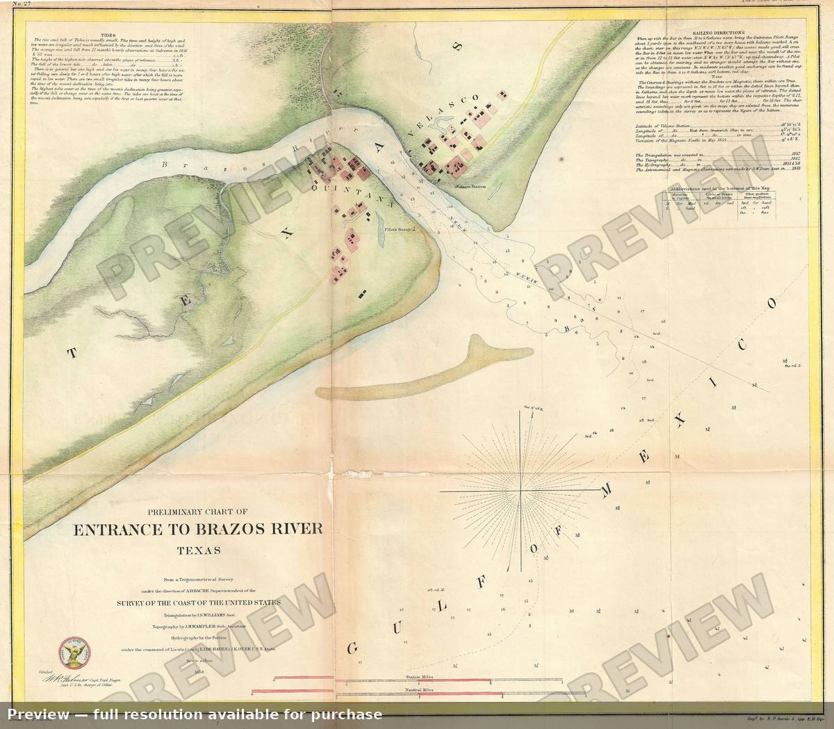
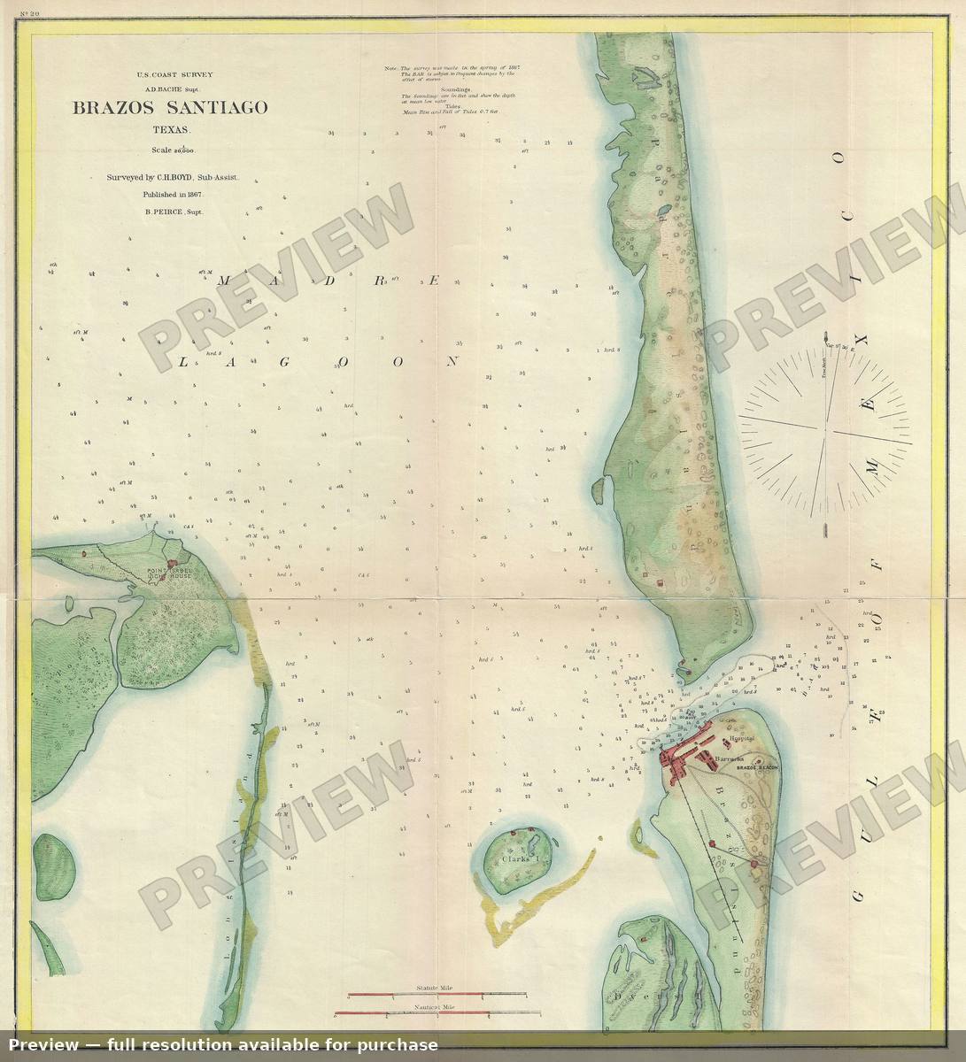
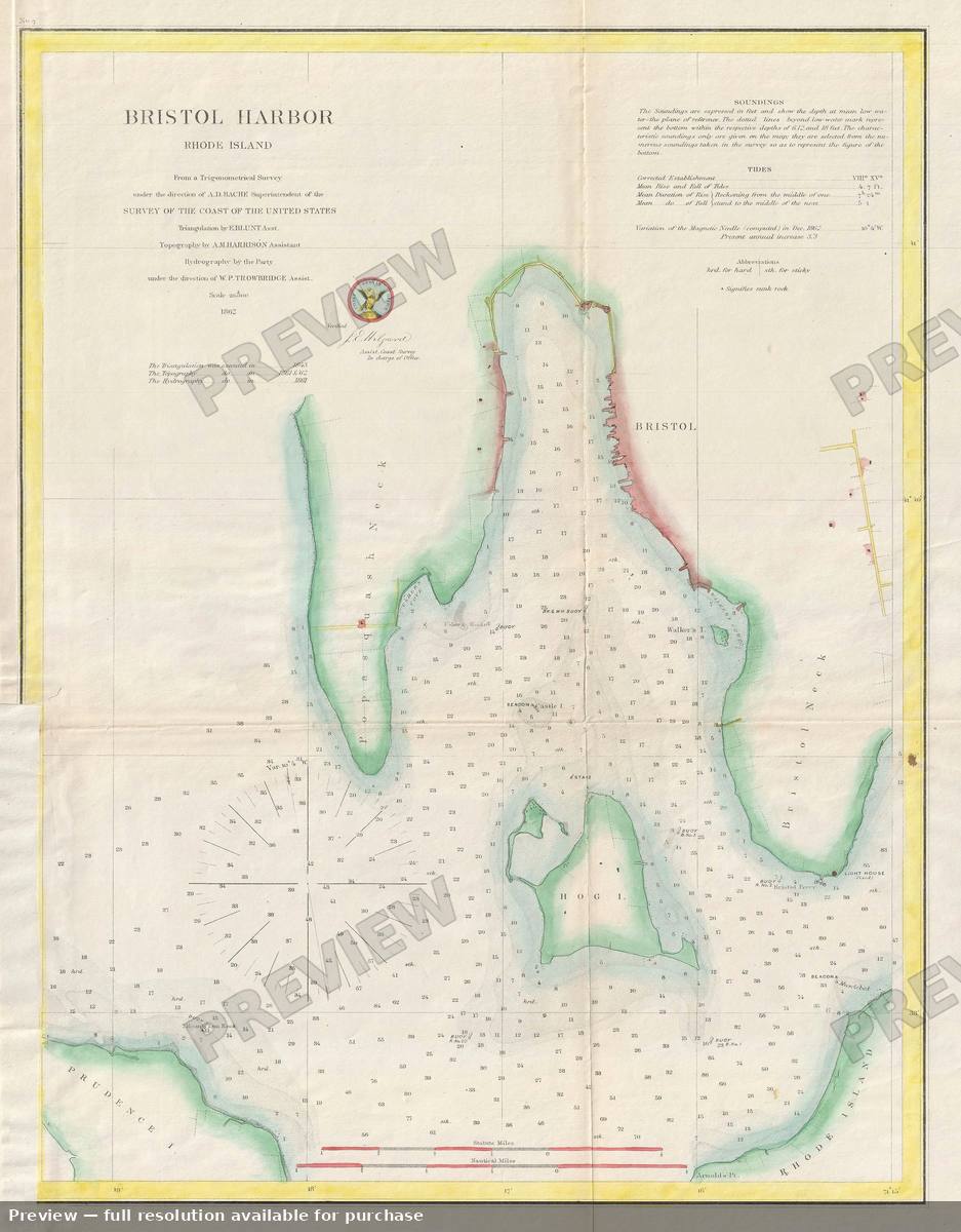
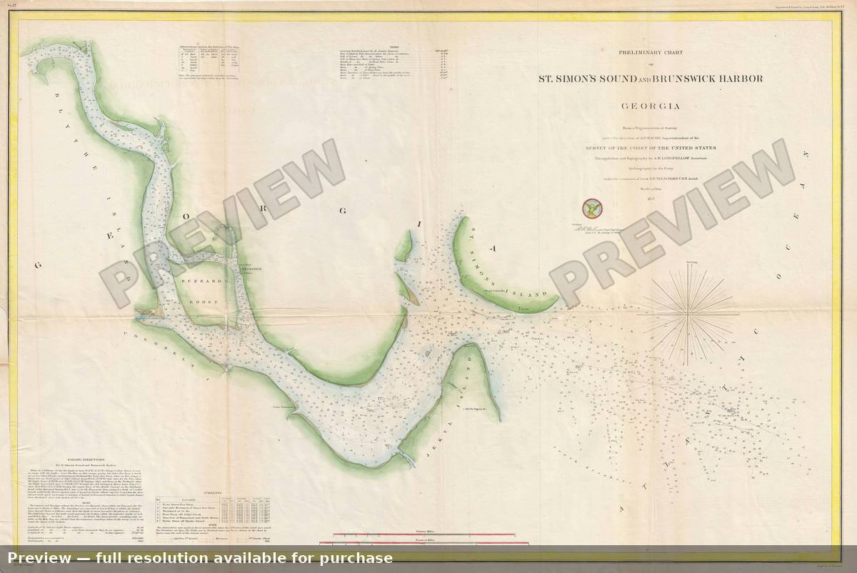
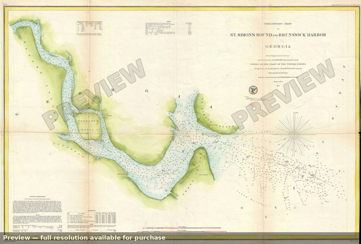
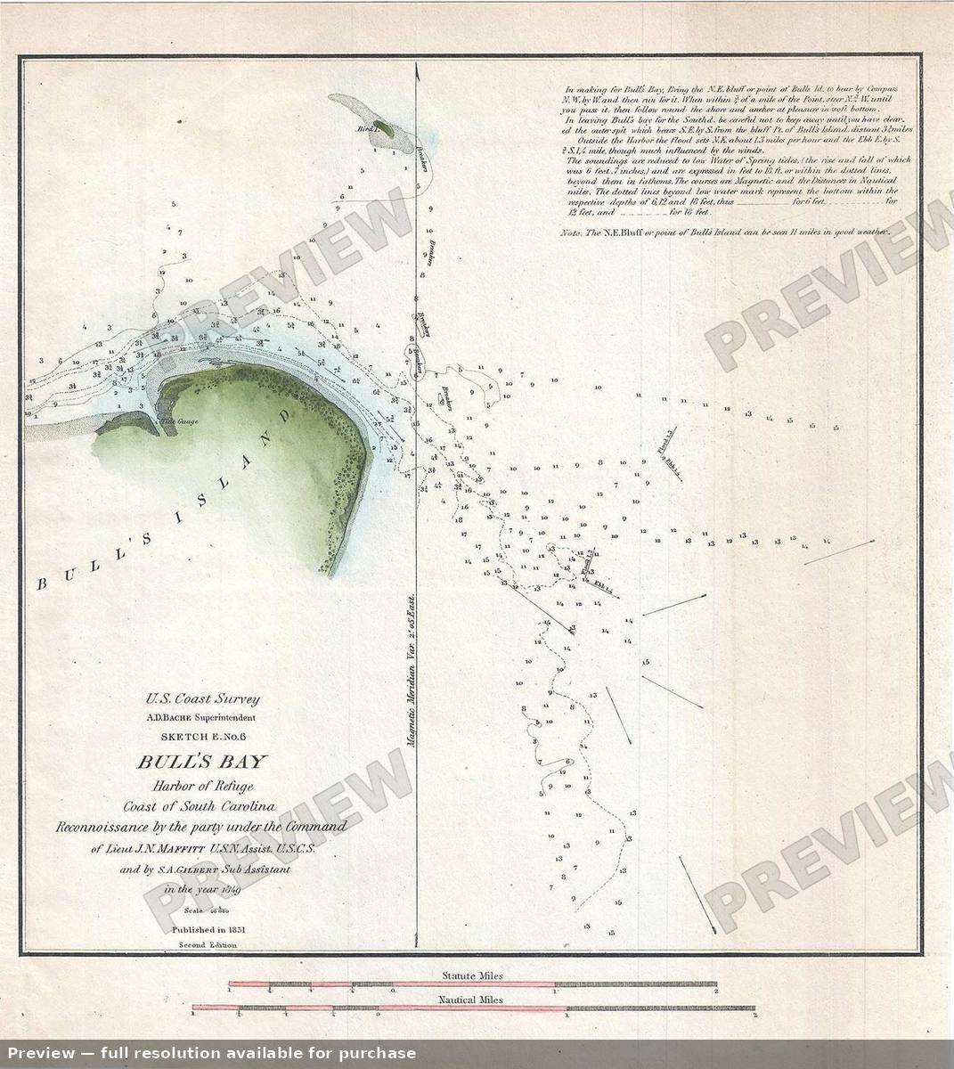
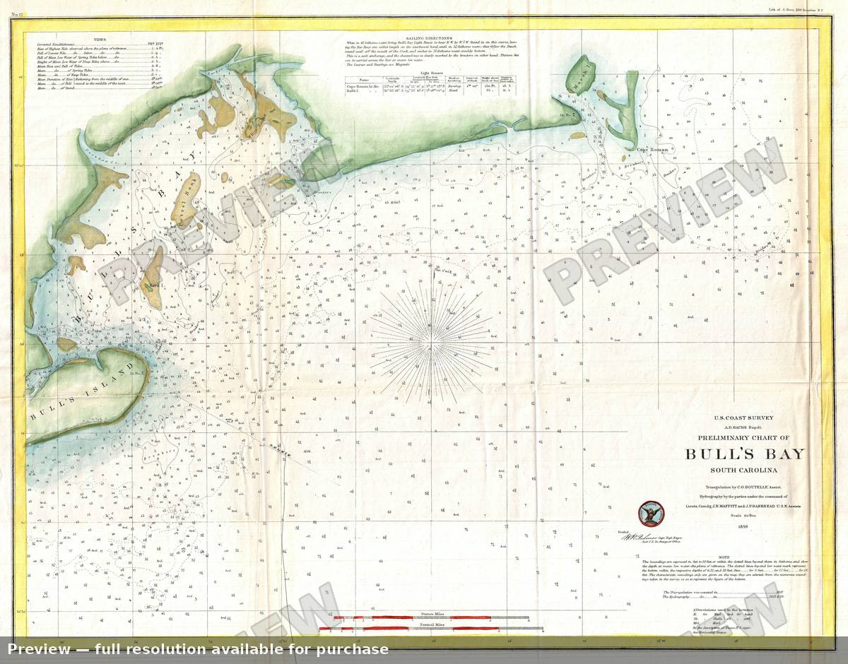
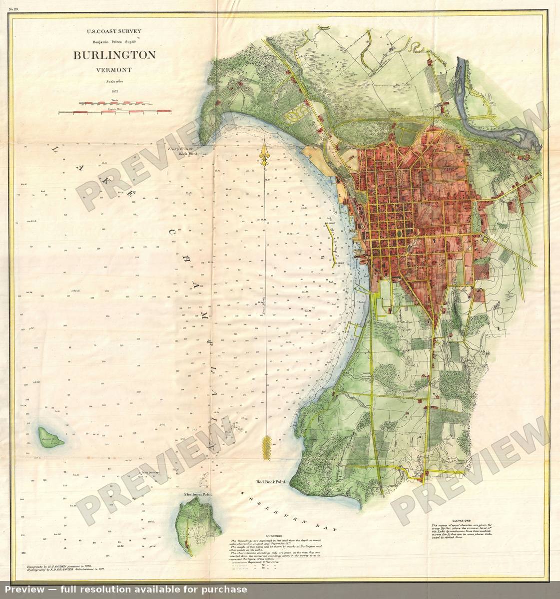
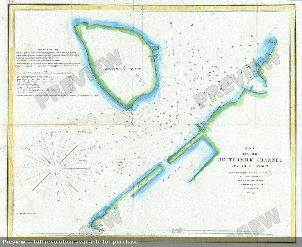
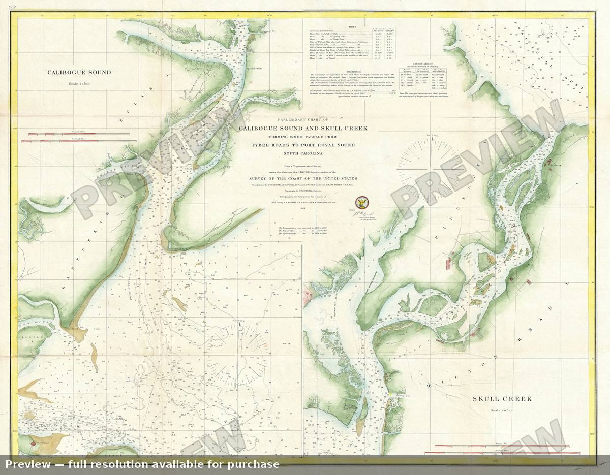
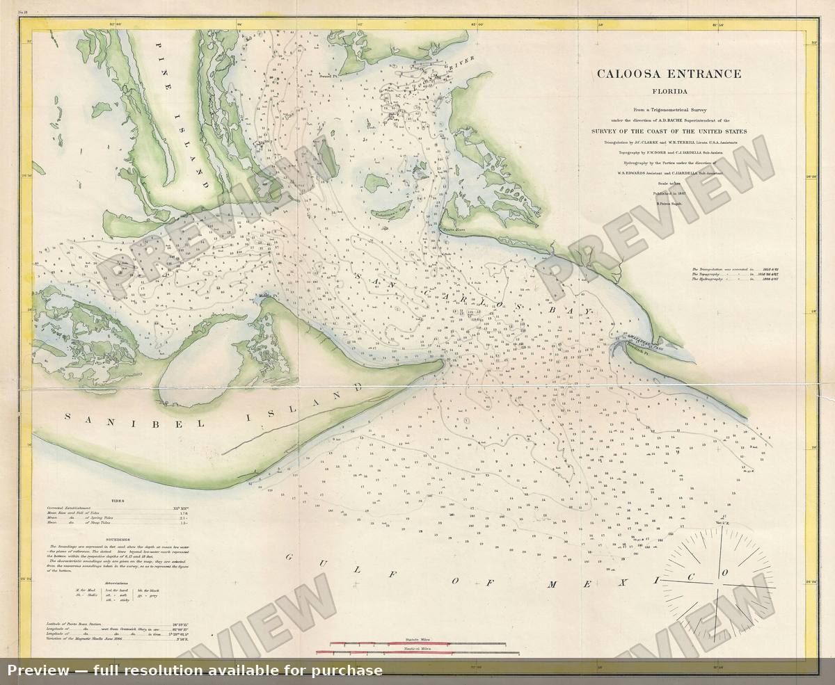
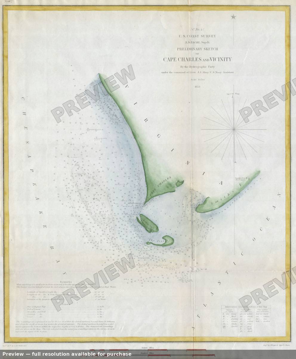
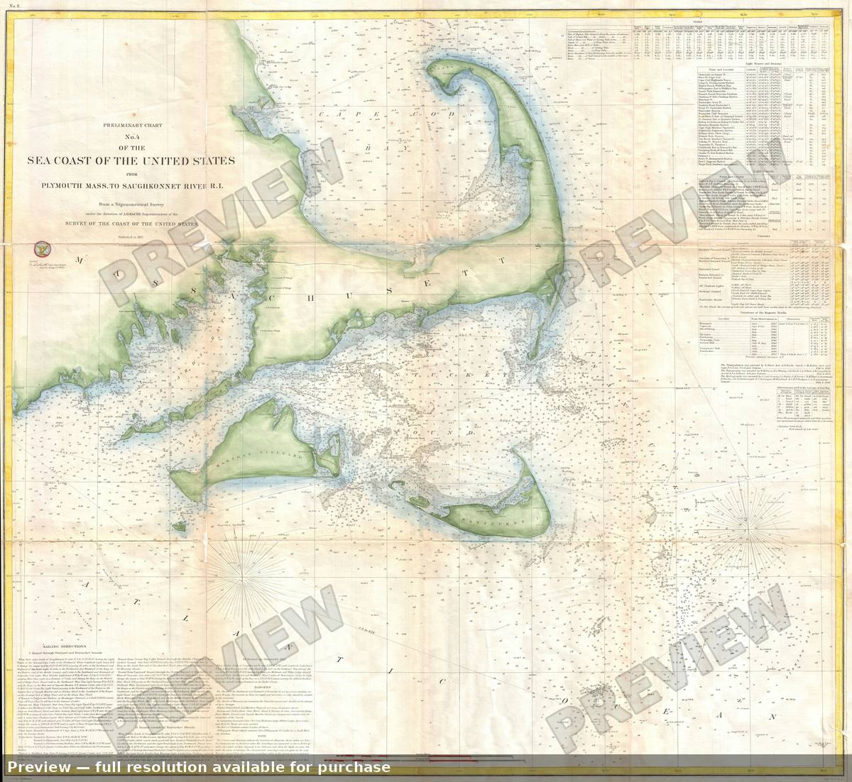
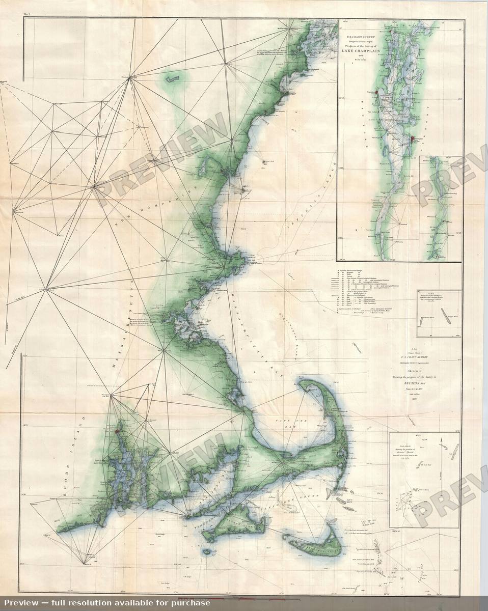
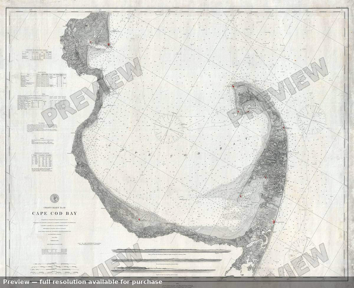
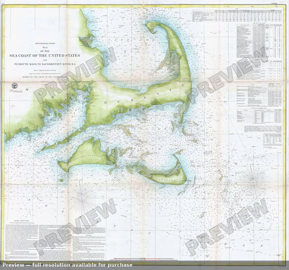
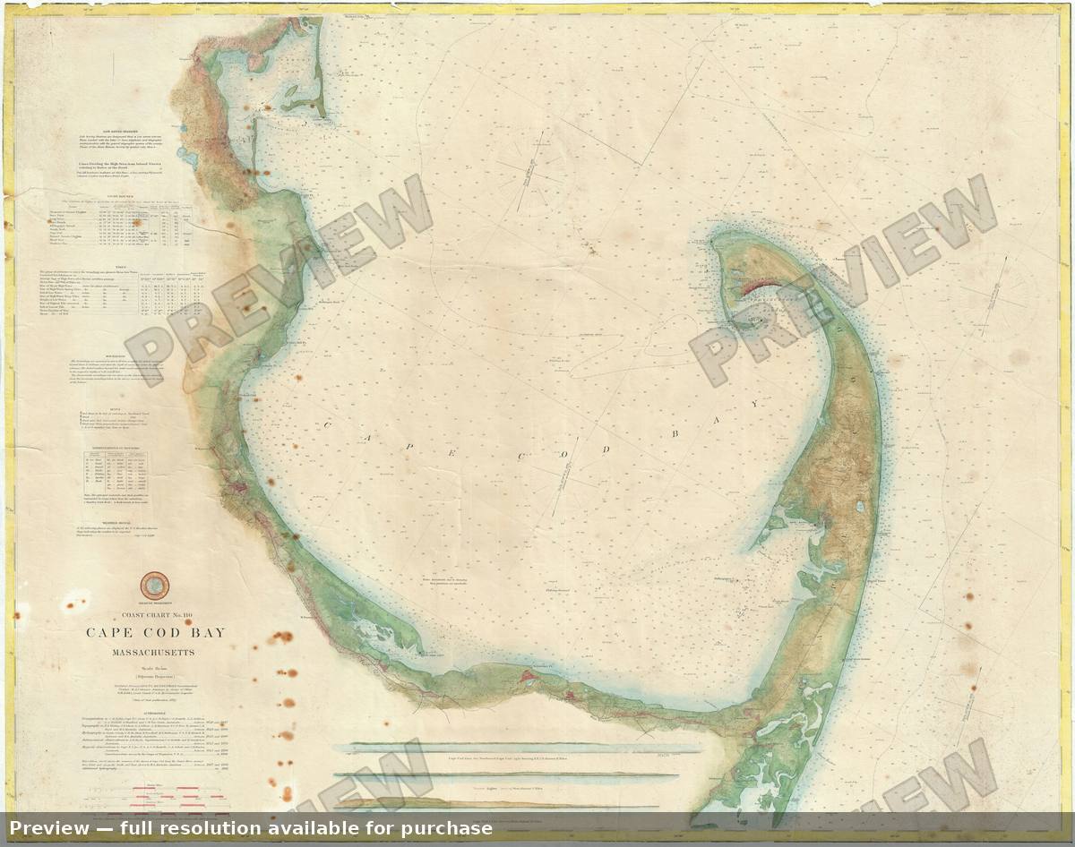
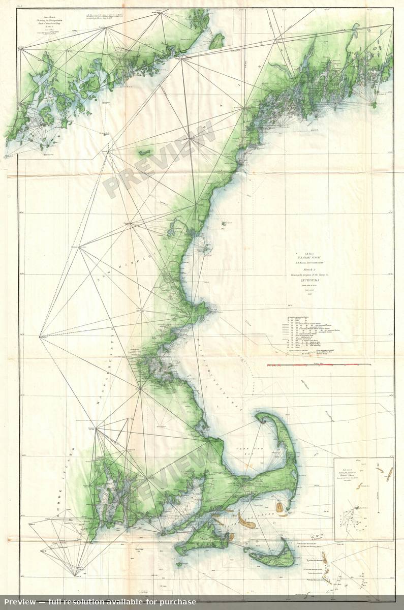
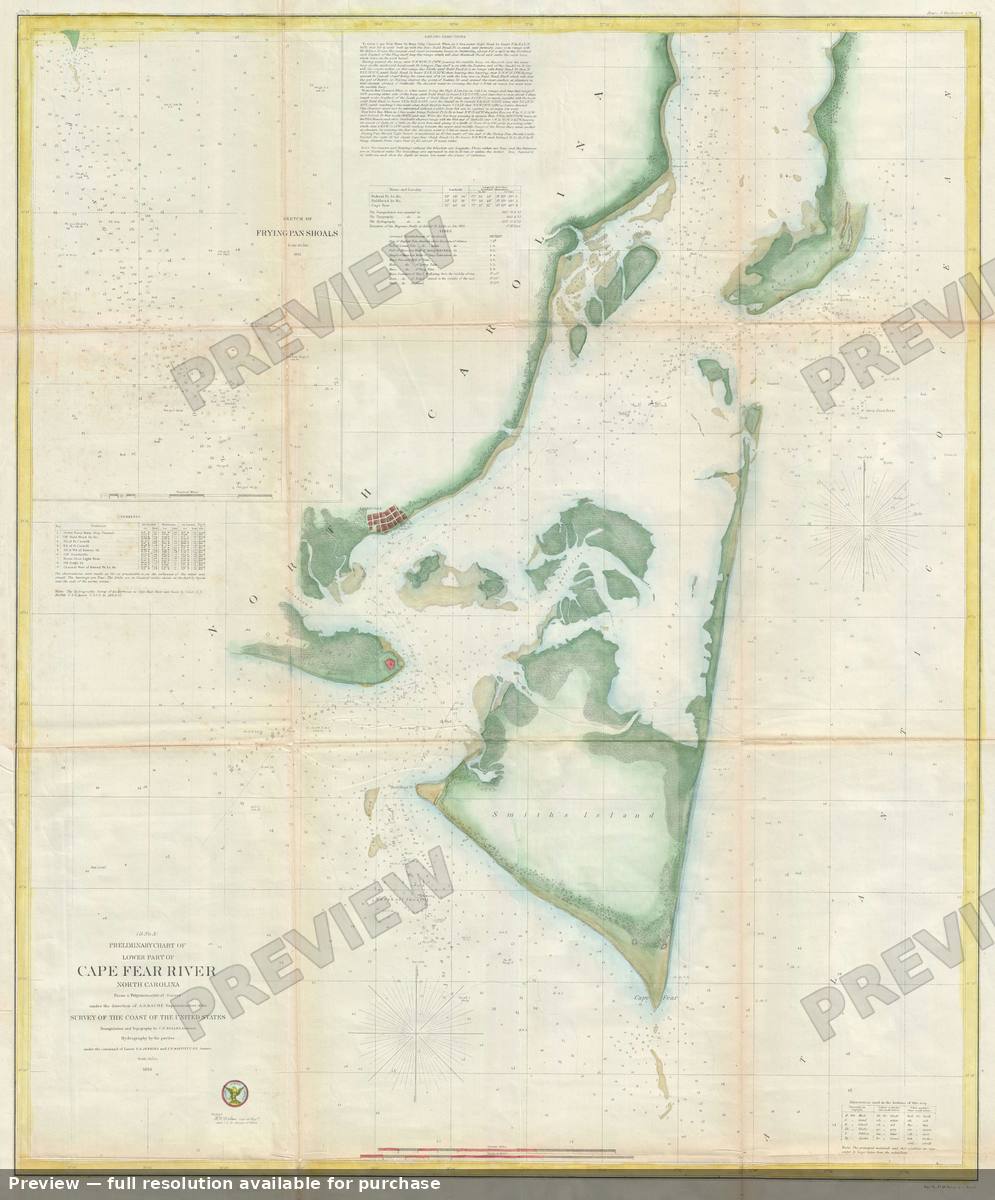
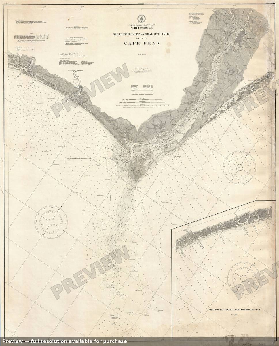
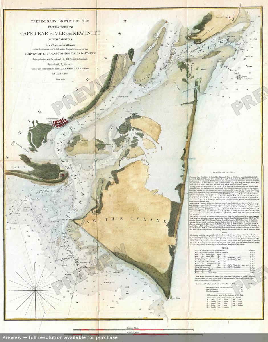
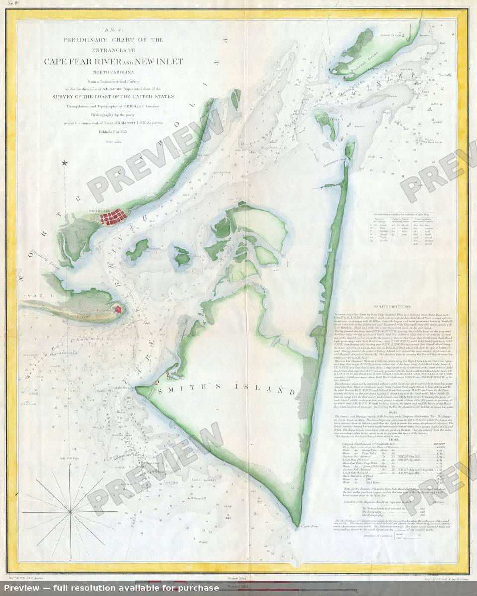
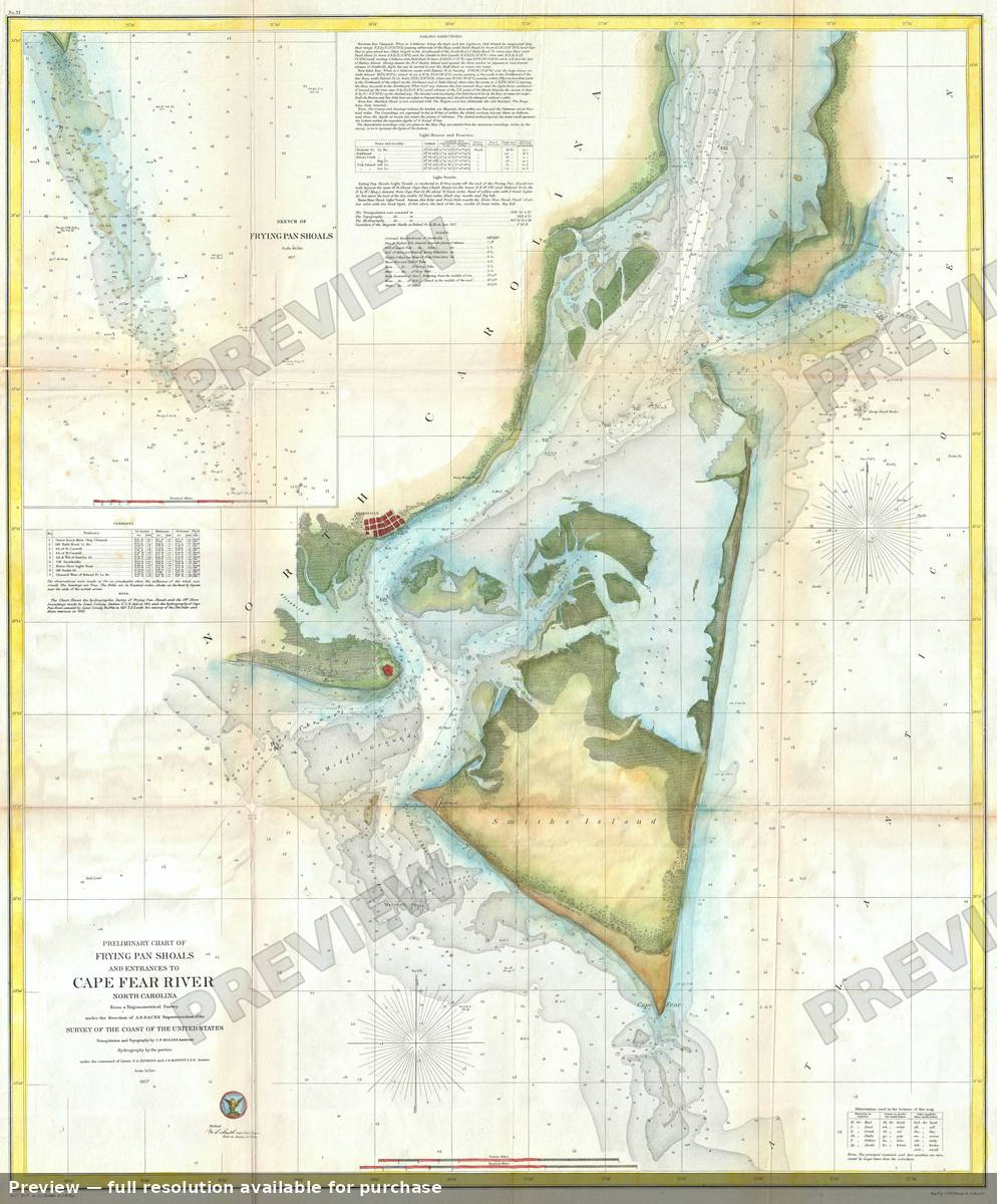
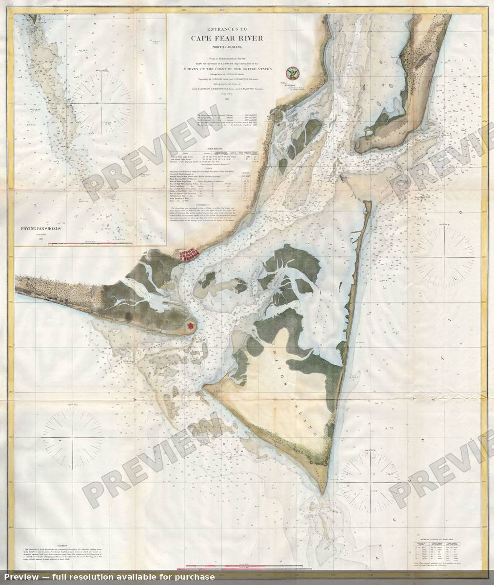
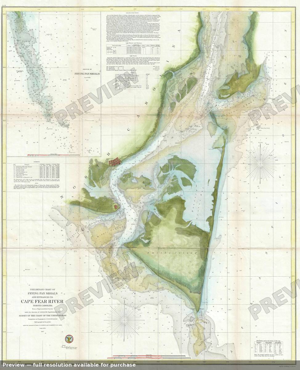
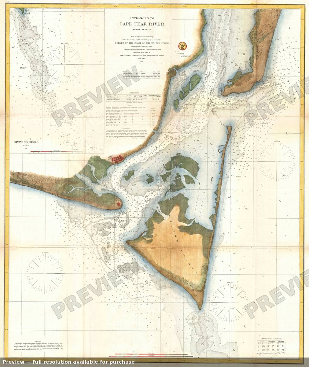
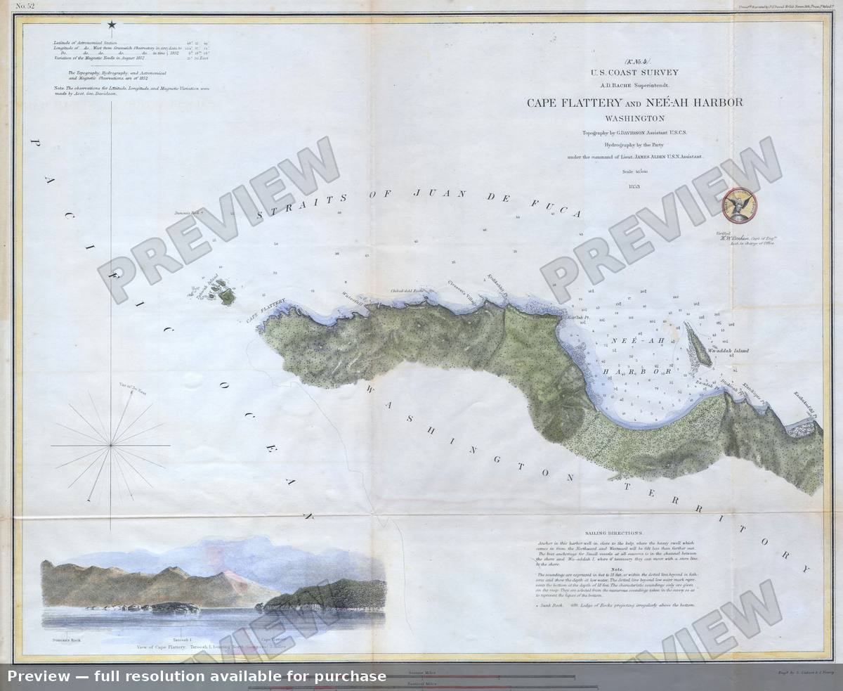
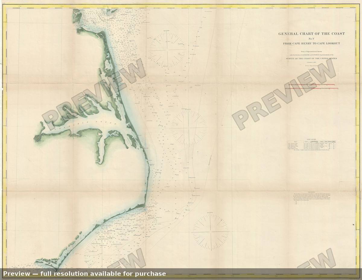
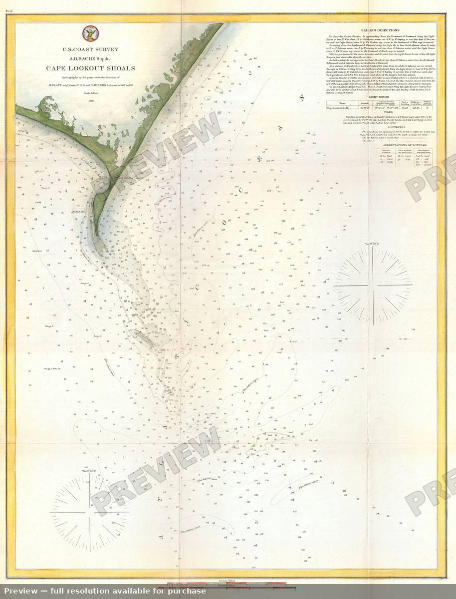
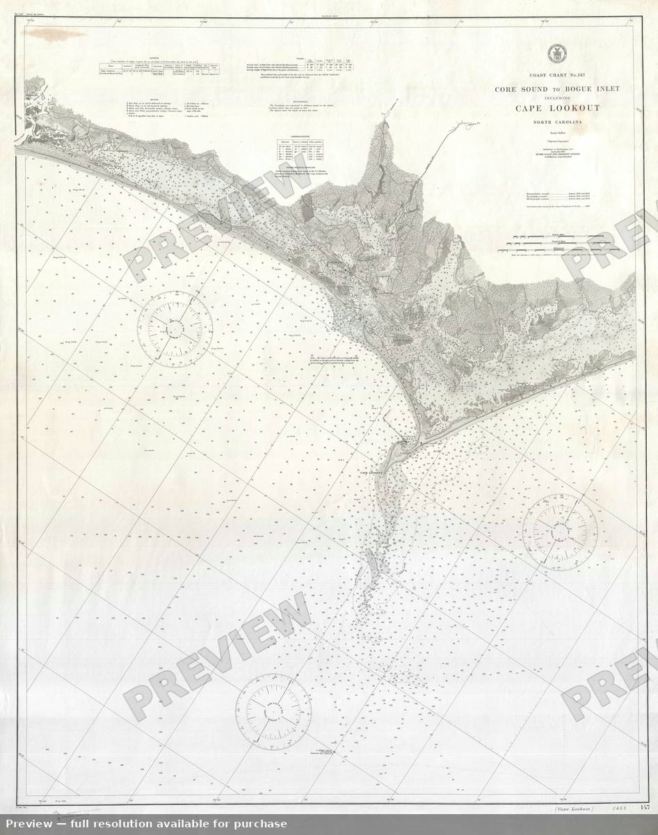
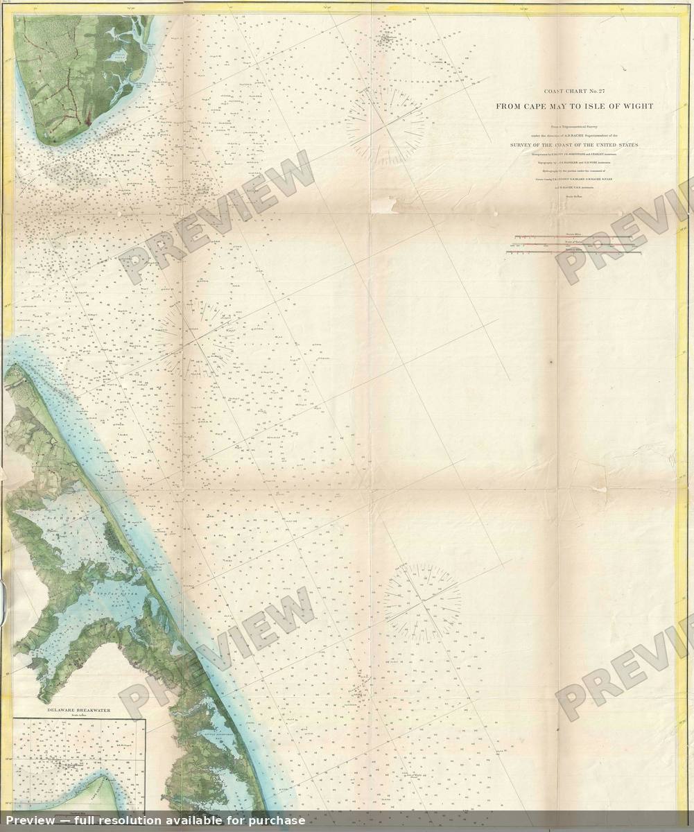
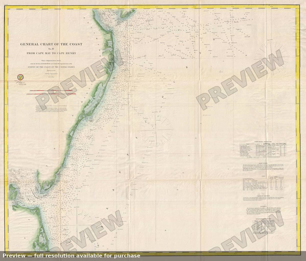
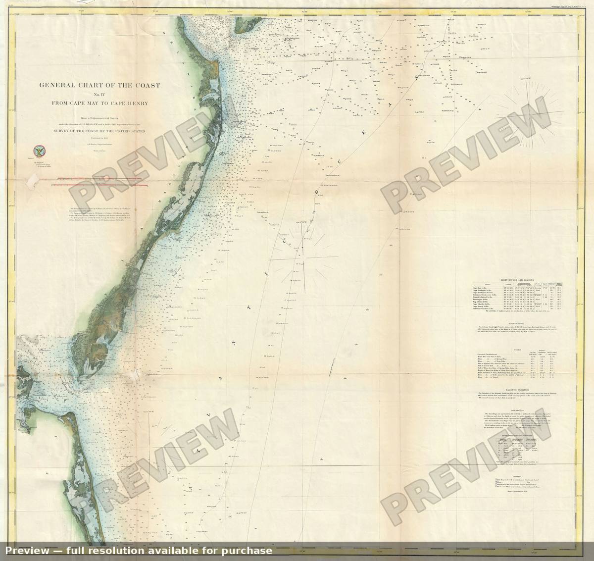
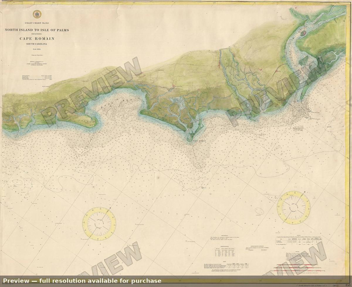
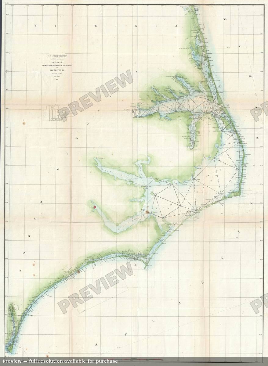
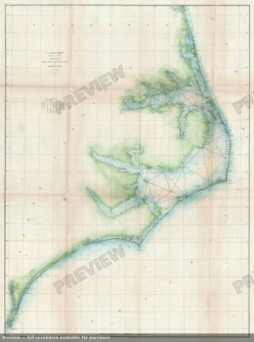
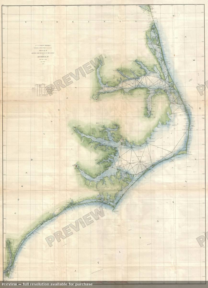
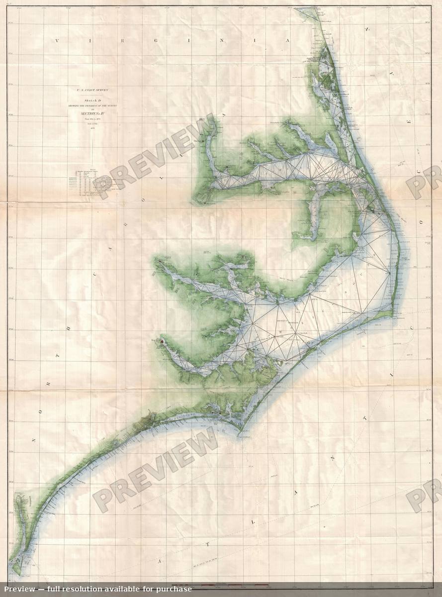
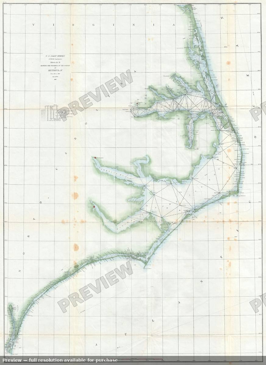
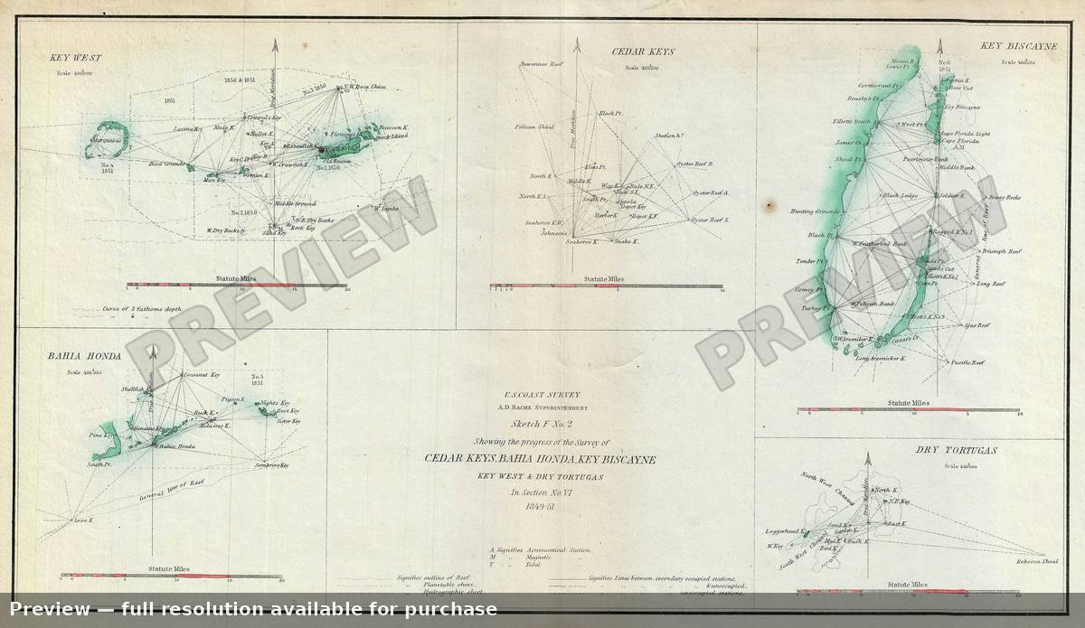
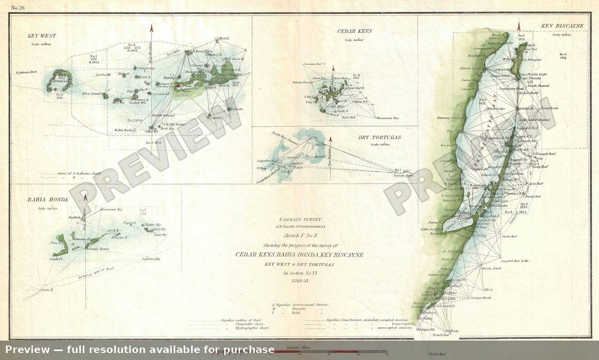
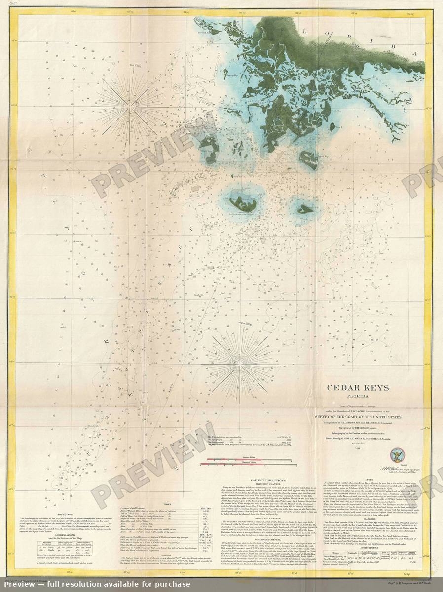
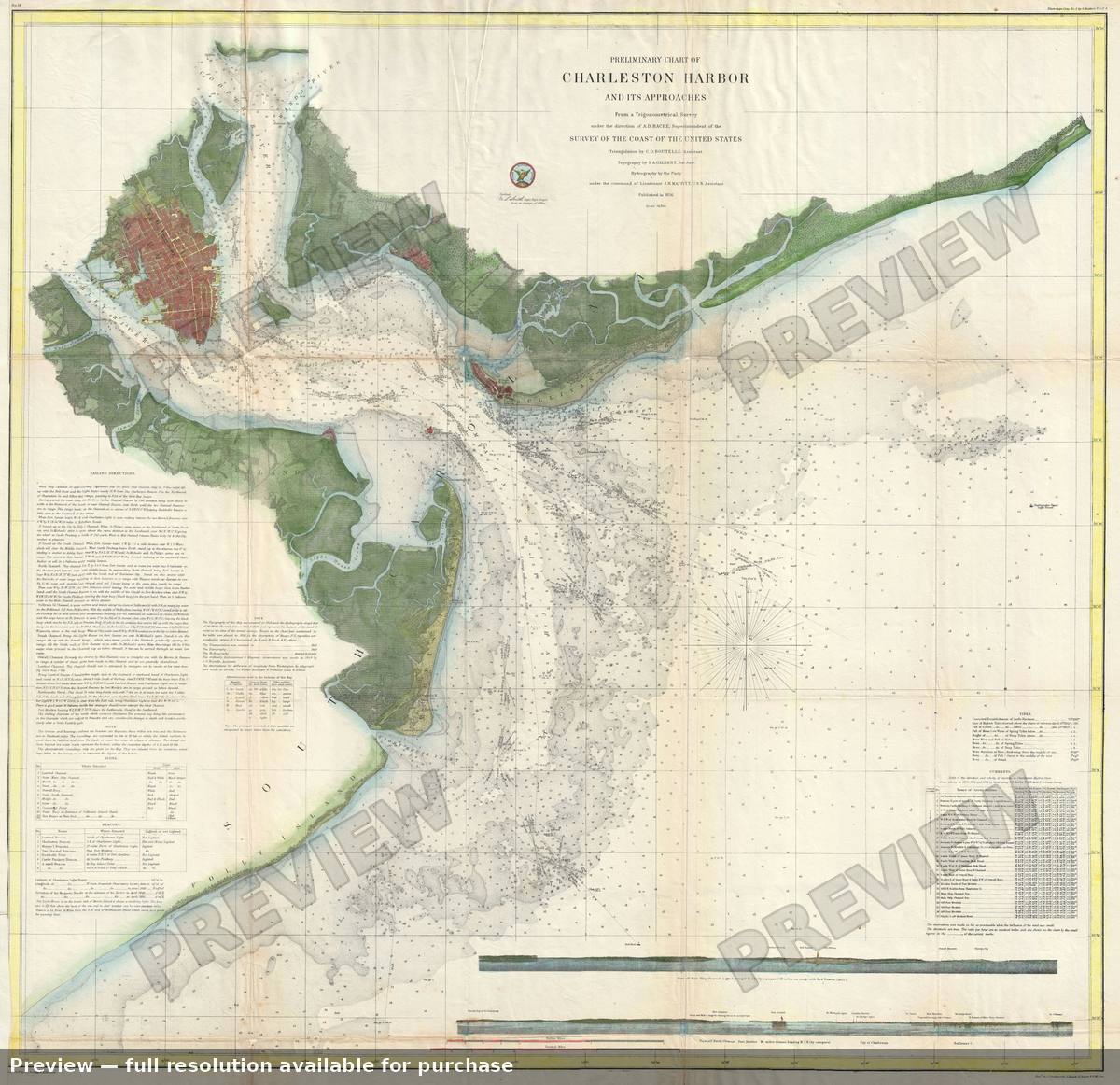
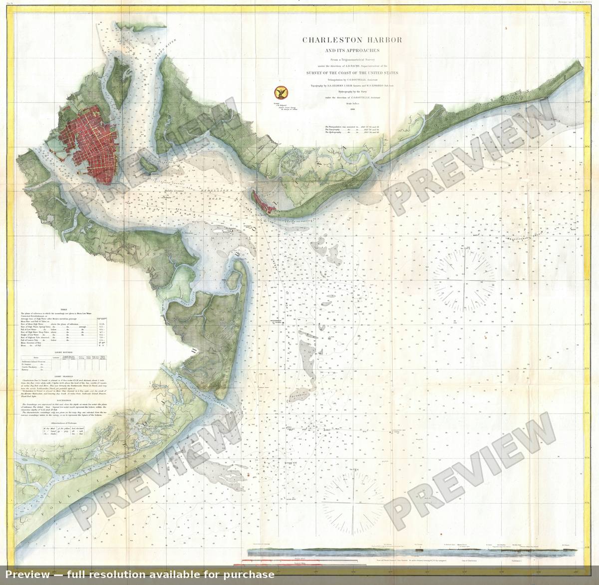
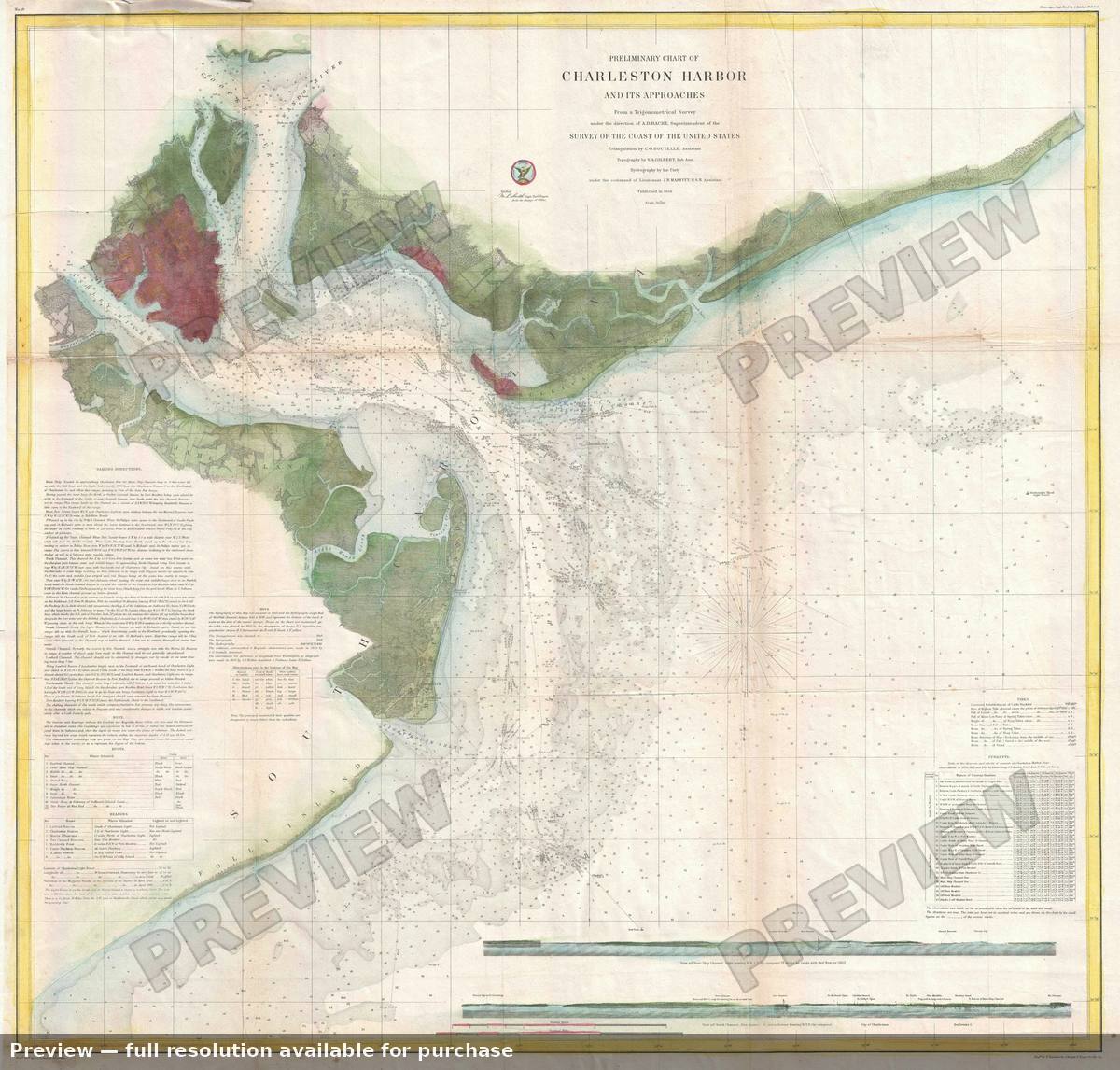
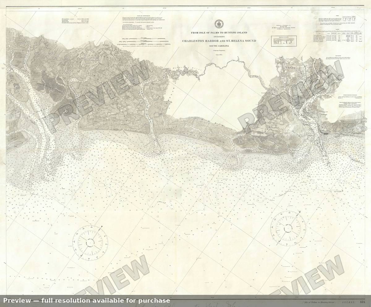
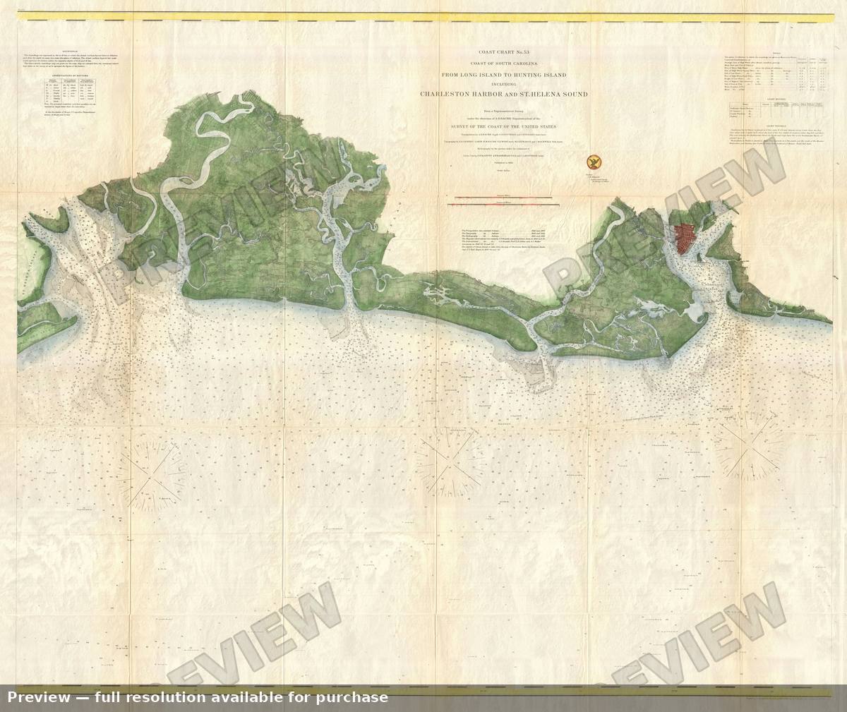
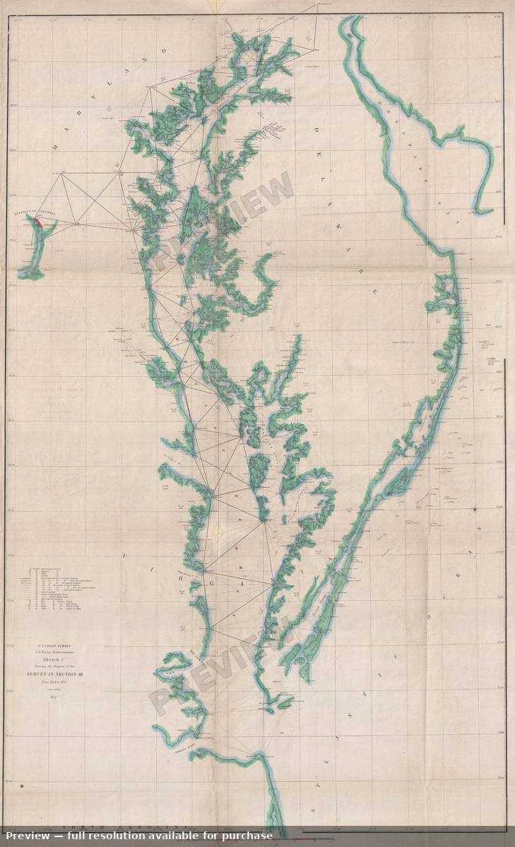
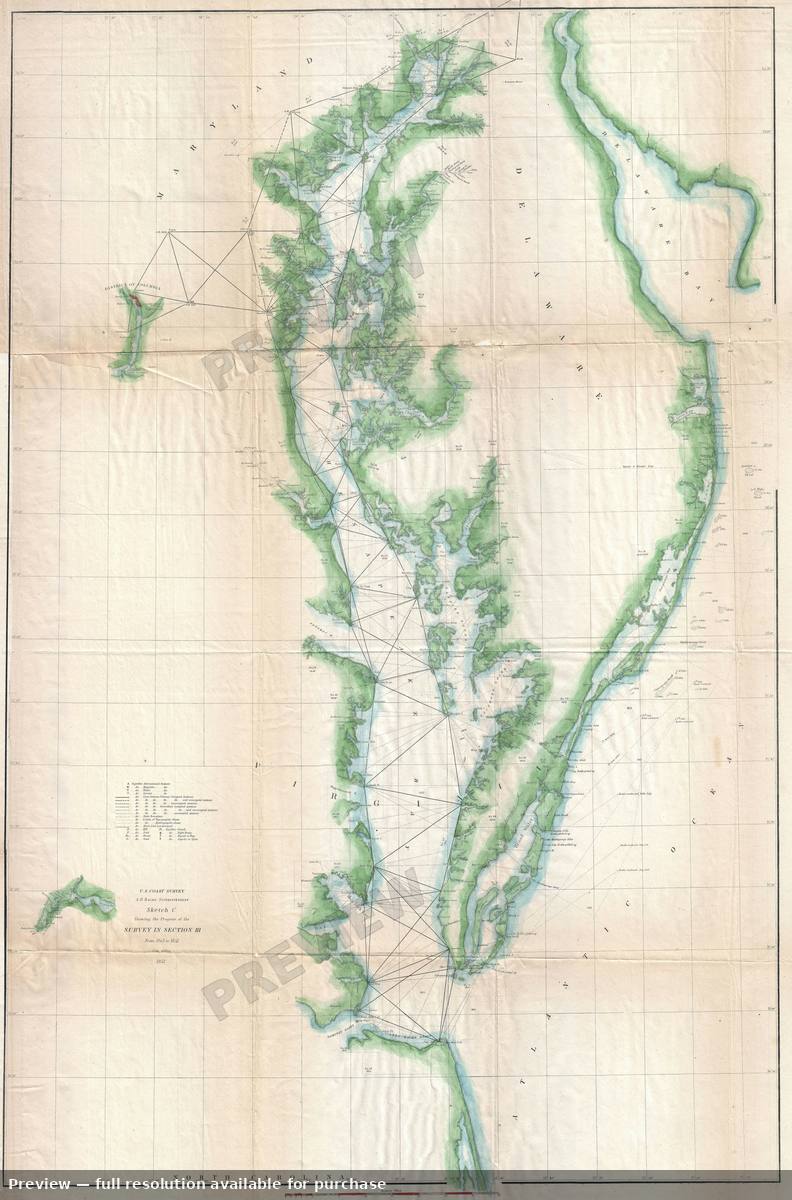
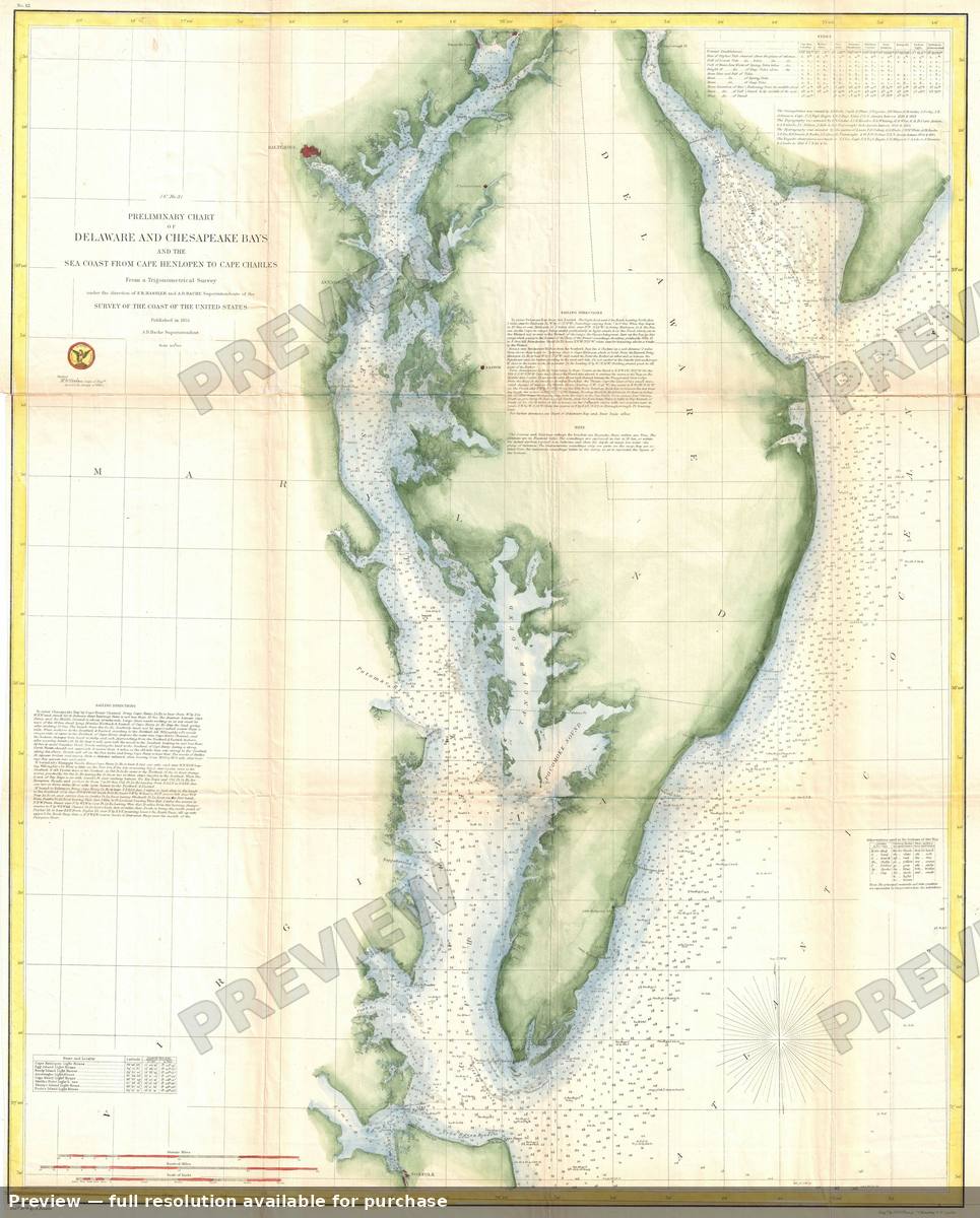
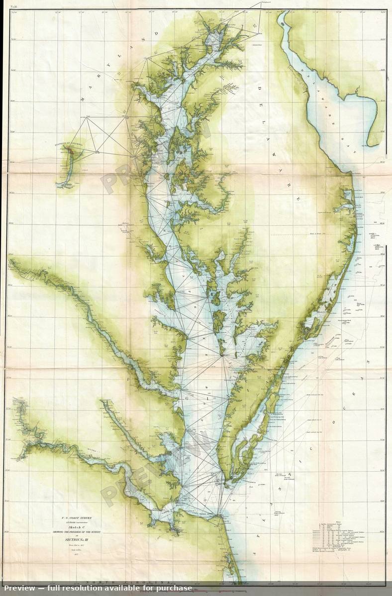
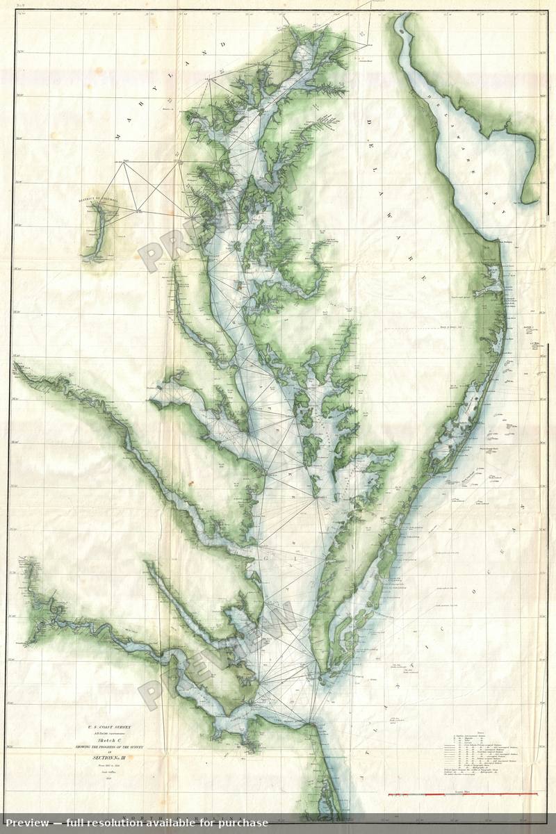
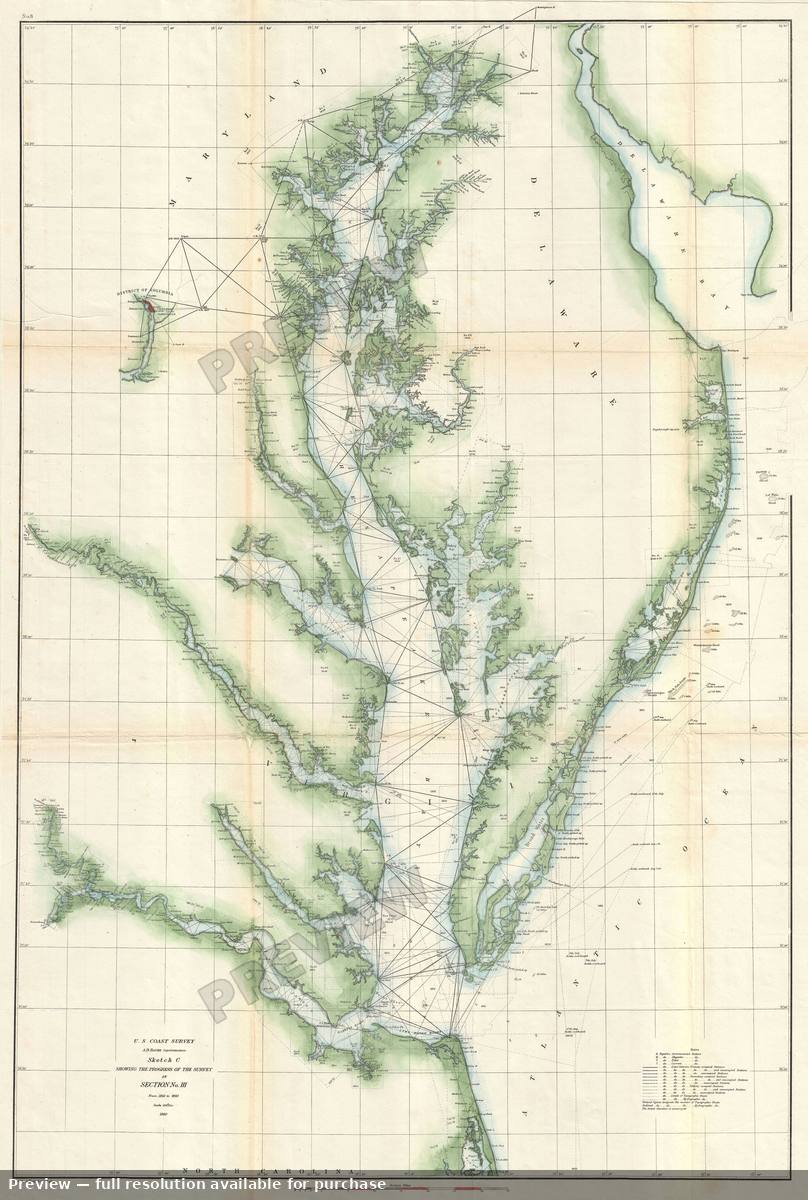
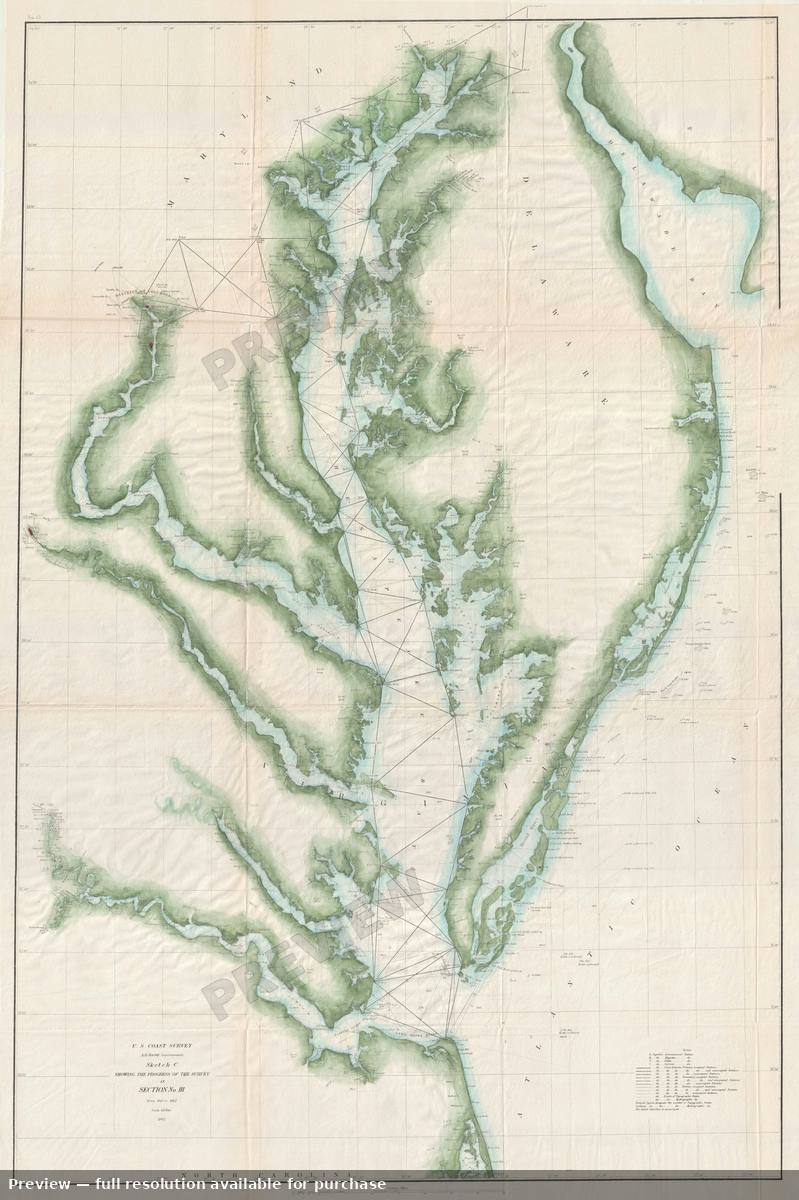
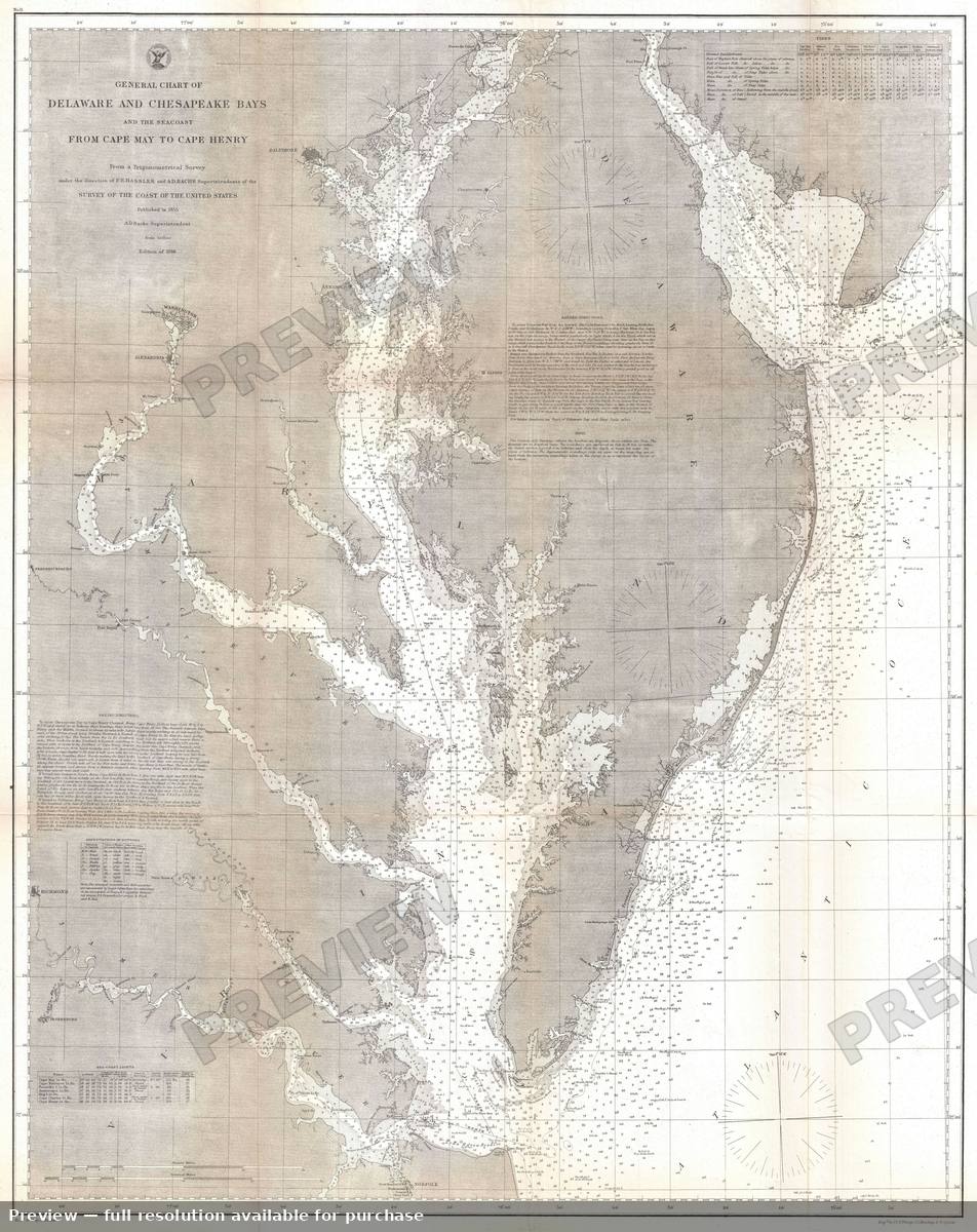
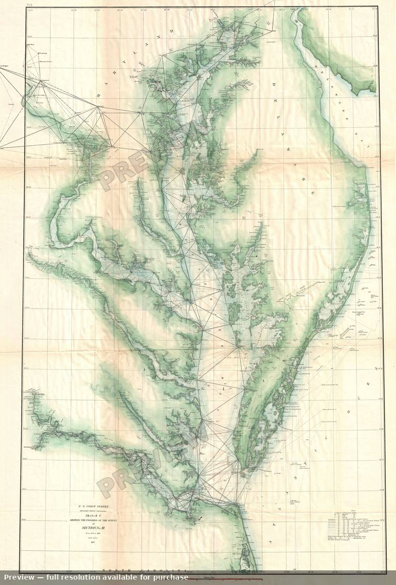
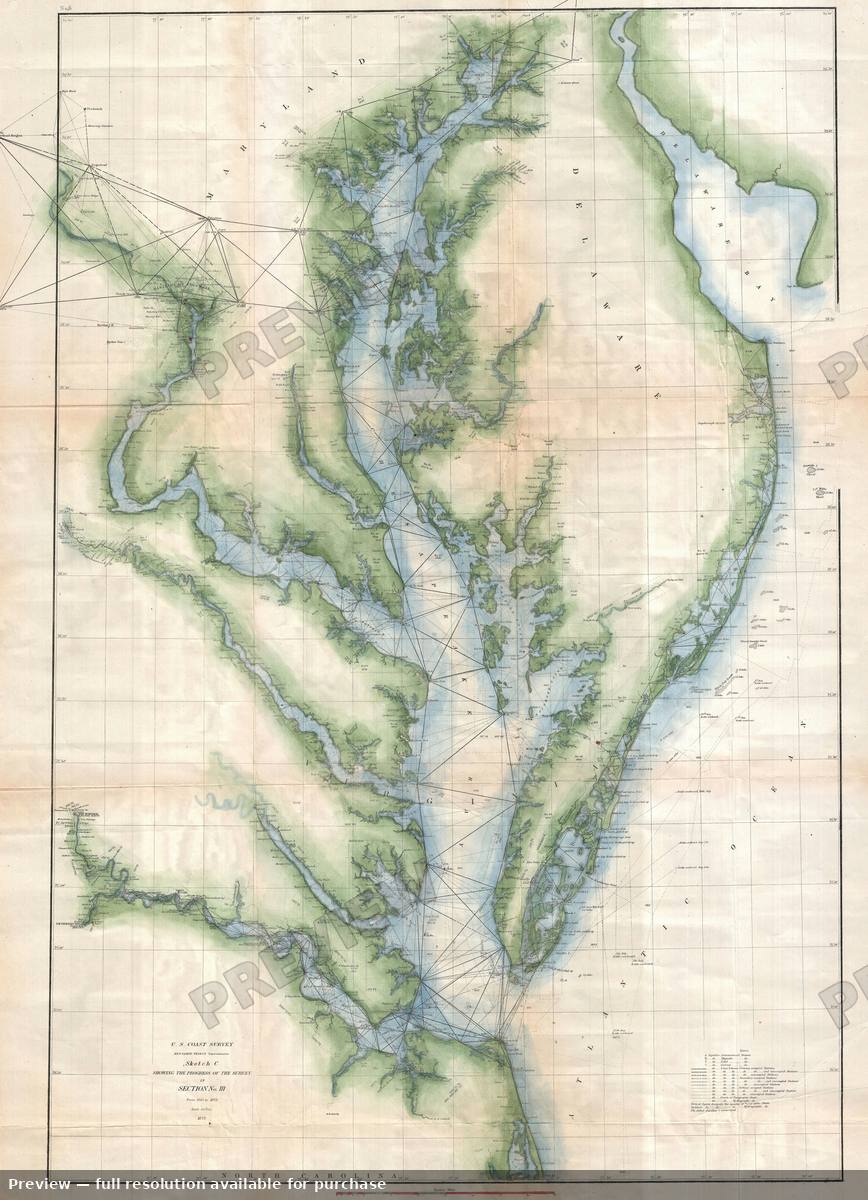
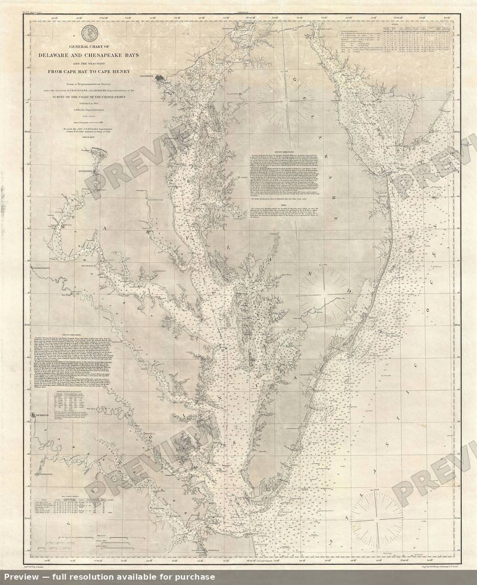
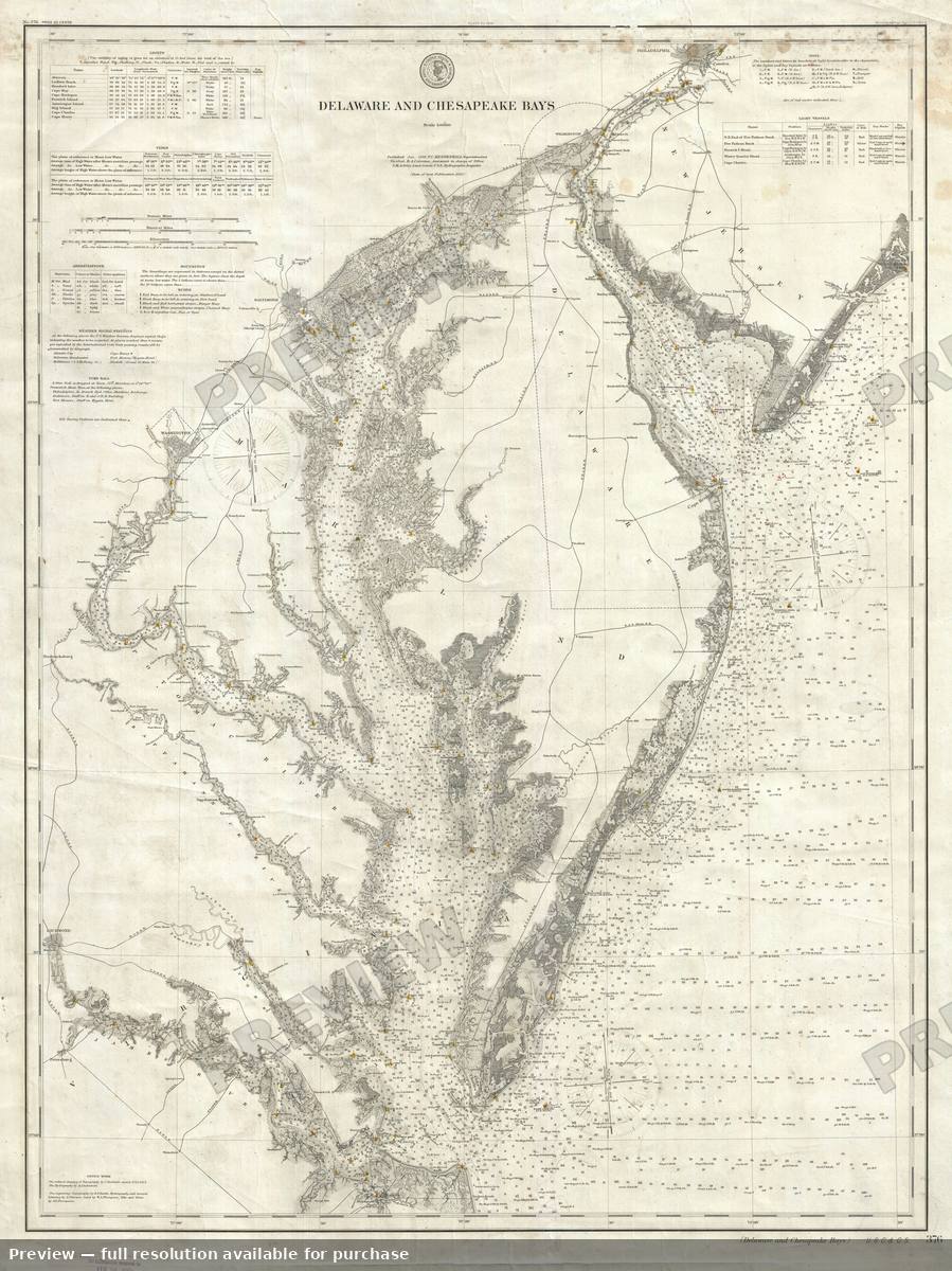
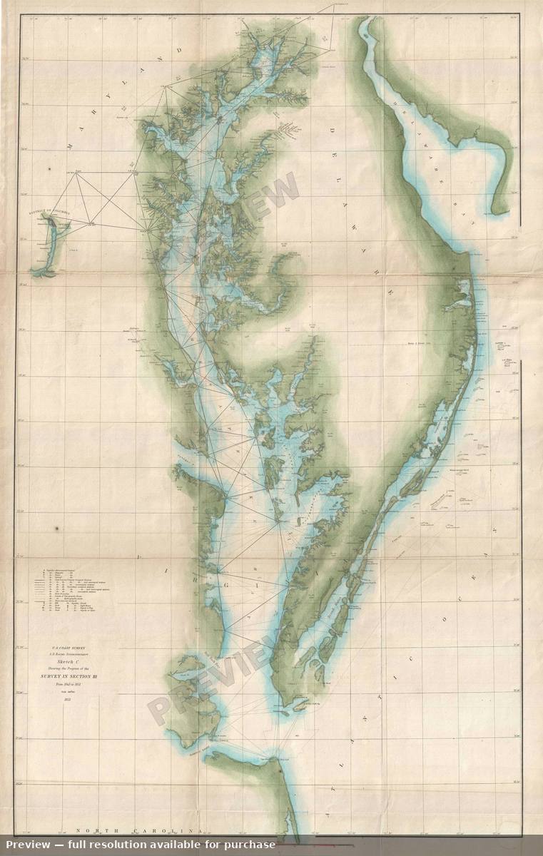
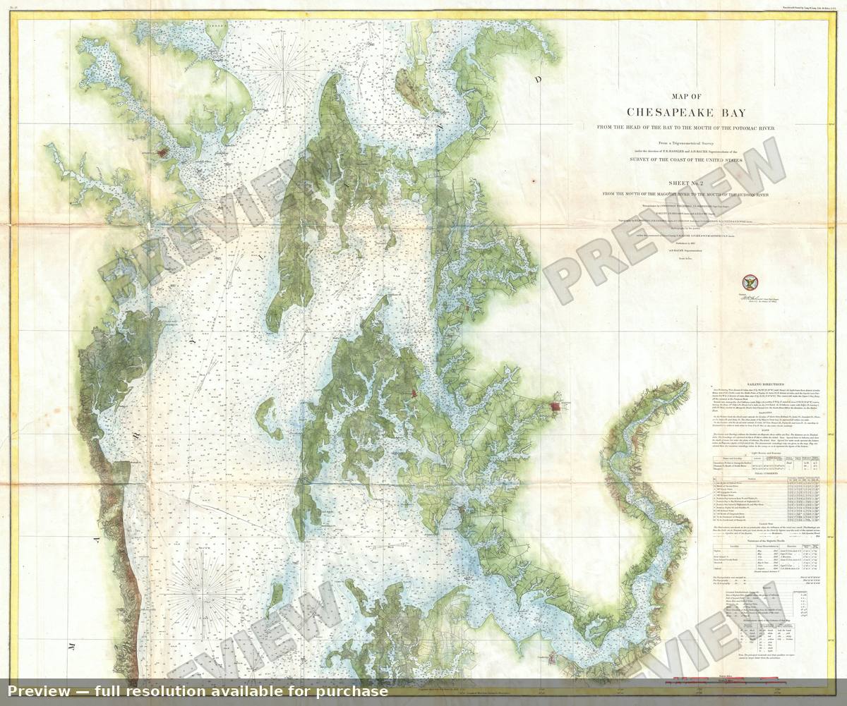
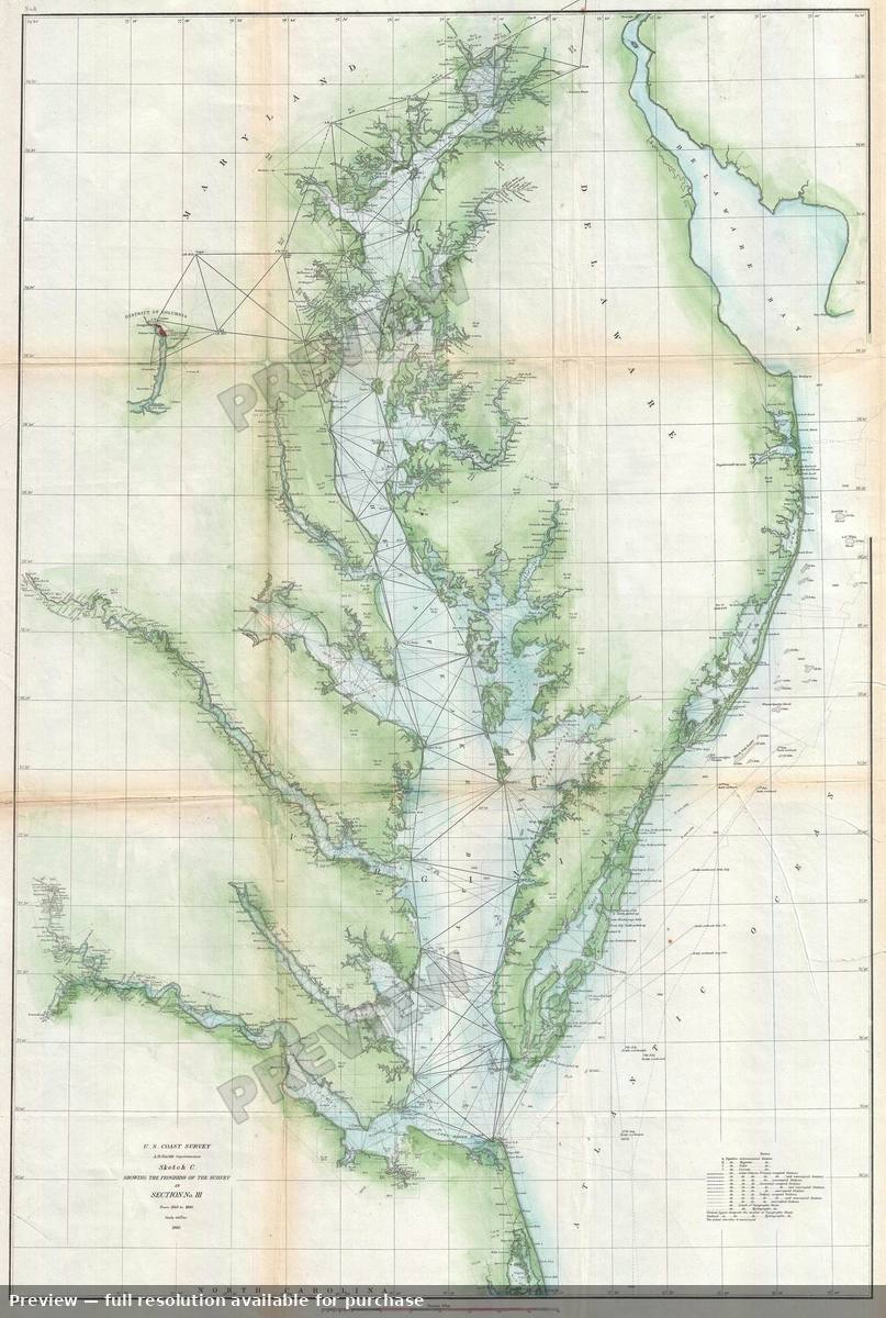
Antique map: 71 Florida Reefs, 185971 Florida Reefs, 1859Antique map: Albemarle Sound, 1849Albemarle Sound, 1849Antique map: Albemarle Sound, 1855Albemarle Sound, 1855Antique map: Aleutian Islands, 1873Aleutian Islands, 1873Antique map: Atlantic Coast, 1863Atlantic Coast, 1863Antique map: Atlantic Gulfof Mexico Pacific, 1860Atlantic Gulfof Mexico Pacific, 1860Antique map: Barataria Bay, 1853Barataria Bay, 1853Antique map: Bar Harbor, 1885Bar Harbor, 1885Antique map: Barnegat Inlet, 1865Barnegat Inlet, 1865Antique map: Barnstable Harbor, 1861Barnstable Harbor, 1861Antique map: Barnstable Harbor 2, 1861Barnstable Harbor 2, 1861Antique map: Beaufort, 1882Beaufort, 1882Antique map: Beaufort Harbor, 1851Beaufort Harbor, 1851Antique map: Beaufort Harbor, 1857Beaufort Harbor, 1857Antique map: Beaufort Harbor 2, 1851Beaufort Harbor 2, 1851Antique map: Beaufort Port Royal, 1855Beaufort Port Royal, 1855Antique map: Biloxi Bay, 1855Biloxi Bay, 1855Antique map: Biscayne Bay, 1909Biscayne Bay, 1909Antique map: Block Island Rhode Island, 1860Block Island Rhode Island, 1860Antique map: Boston Bay, 1866Boston Bay, 1866Antique map: Boston Bay, 1877Boston Bay, 1877Antique map: Boston Bay, 1905Boston Bay, 1905Antique map: Boston Bay 2, 1866Boston Bay 2, 1866Antique map: Boston Bay 3, 1905Boston Bay 3, 1905Antique map: Boston Bayand Harbor, 1883Boston Bayand Harbor, 1883Antique map: Boston Harbor, 1867Boston Harbor, 1867Antique map: Boston Harbor, 1872Boston Harbor, 1872Antique map: Boston Harbor 2, 1857Boston Harbor 2, 1857Antique map: Boston Harbor Bay, 1857Boston Harbor Bay, 1857Antique map: Boston Maine, 1865Boston Maine, 1865Antique map: Brazos River Texas, 1858Brazos River Texas, 1858Antique map: Brazos Santiago Texas, 1867Brazos Santiago Texas, 1867Antique map: Bristol Harbor Rhode Island, 1862Bristol Harbor Rhode Island, 1862Antique map: Brunswick Harbor, 1857Brunswick Harbor, 1857Antique map: Brunswick Harbor 2, 1857Brunswick Harbor 2, 1857Antique map: Bullsbay, 1851Bullsbay, 1851Antique map: Bulls Bay South Carolina, 1859Bulls Bay South Carolina, 1859Antique map: Burlington Vermont, 1872Burlington Vermont, 1872Antique map: Buttermilk Channel, 1849Buttermilk Channel, 1849Antique map: Calibogue Skull SC, 1862Calibogue Skull SC, 1862Antique map: Caloosa Entrance, 1867Caloosa Entrance, 1867Antique map: Cape Charles, 1853Cape Charles, 1853Antique map: Cape Cod, 1857Cape Cod, 1857Antique map: Cape Cod, 1873Cape Cod, 1873Antique map: Cape Cod, 1880Cape Cod, 1880Antique map: Cape Cod 2, 1857Cape Cod 2, 1857Antique map: Cape Cod Bay, 1892Cape Cod Bay, 1892Antique map: Cape Codto Maine, 1859Cape Codto Maine, 1859Antique map: Cape Fear, 1855Cape Fear, 1855Antique map: Cape Fear, 1911Cape Fear, 1911Antique map: Cape Fear 2, 1853Cape Fear 2, 1853Antique map: Cape Fear River, 1853Cape Fear River, 1853Antique map: Cape Fear River, 1857Cape Fear River, 1857Antique map: Cape Fear River, 1866Cape Fear River, 1866Antique map: Cape Fear River 2, 1857Cape Fear River 2, 1857Antique map: Cape Fear River 3, 1866Cape Fear River 3, 1866Antique map: Cape Flattery, 1853Cape Flattery, 1853Antique map: Cape Henry Cape Lookout, 1867Cape Henry Cape Lookout, 1867Antique map: Cape Lookout, 1866Cape Lookout, 1866Antique map: Cape Lookout NC, 1910Cape Lookout NC, 1910Antique map: Cape Map Isle Wight, 1860Cape Map Isle Wight, 1860Antique map: Cape Mayto Cape Henry, 1862Cape Mayto Cape Henry, 1862Antique map: Cape Mayto Cape Henry 2, 1862Cape Mayto Cape Henry 2, 1862Antique map: Cape Romain, 1909Cape Romain, 1909Antique map: Carolina Coast, 1860Carolina Coast, 1860Antique map: Carolina Coast, 1861Carolina Coast, 1861Antique map: Carolina Coast, 1873Carolina Coast, 1873Antique map: Carolina Coast, 1875Carolina Coast, 1875Antique map: Carolina Virginia Coast, 1859Carolina Virginia Coast, 1859Antique map: Carolina Virginia Coast, 1862Carolina Virginia Coast, 1862Antique map: Ceda Keys Biscayne, 1852Ceda Keys Biscayne, 1852Antique map: Cedar Key, 1852Cedar Key, 1852Antique map: Cedar Key Florida, 1851Cedar Key Florida, 1851Antique map: Cedar Keysbahia, 1851Cedar Keysbahia, 1851Antique map: Cedarkeys Bahia, 1853Cedarkeys Bahia, 1853Antique map: Cedar Keys Florida, 1861Cedar Keys Florida, 1861Antique map: Charleston, 1856Charleston, 1856Antique map: Charleston, 1866Charleston, 1866Antique map: Charleston Harbor, 1856Charleston Harbor, 1856Antique map: Charleston Helena SC, 1913Charleston Helena SC, 1913Antique map: Charleston St Helena, 1866Charleston St Helena, 1866Antique map: Chesapeake Bay, 1851Chesapeake Bay, 1851Antique map: Chesapeake Bay, 1852Chesapeake Bay, 1852Antique map: Chesapeake Bay, 1855Chesapeake Bay, 1855Antique map: Chesapeake Bay, 1857Chesapeake Bay, 1857Antique map: Chesapeake Bay, 1859Chesapeake Bay, 1859Antique map: Chesapeake Bay, 1860Chesapeake Bay, 1860Antique map: Chesapeake Bay, 1862Chesapeake Bay, 1862Antique map: Chesapeake Bay, 1867Chesapeake Bay, 1867Antique map: Chesapeake Bay, 1871Chesapeake Bay, 1871Antique map: Chesapeake Bay, 1873Chesapeake Bay, 1873Antique map: Chesapeake Bay, 1882Chesapeake Bay, 1882Antique map: Chesapeake Bay, 1893Chesapeake Bay, 1893Antique map: Chesapeake Bay 2, 1851Chesapeake Bay 2, 1851Antique map: Chesapeake Bay 2, 1857Chesapeake Bay 2, 1857Antique map: Chesapeake Bay 2, 1860Chesapeake Bay 2, 1860

Showing 96 of 393. Search the full gallery to see them all.