Find the place history remembers
Antique Maps by Uscgs
15 antique maps in the Meridian library. Every map is available as a full-resolution download for $4.99 — the previews below are watermarked and reduced in size.
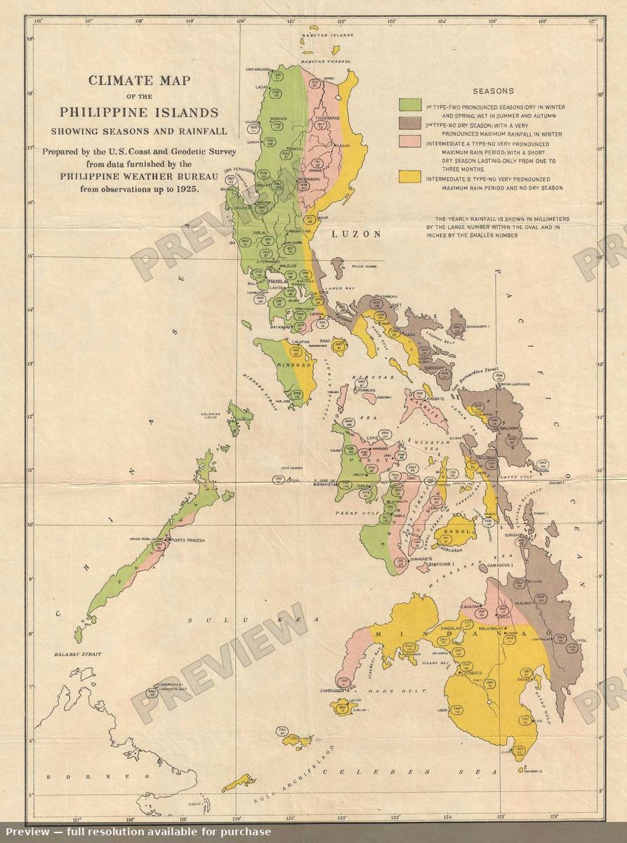 Climate Philippines, 1925
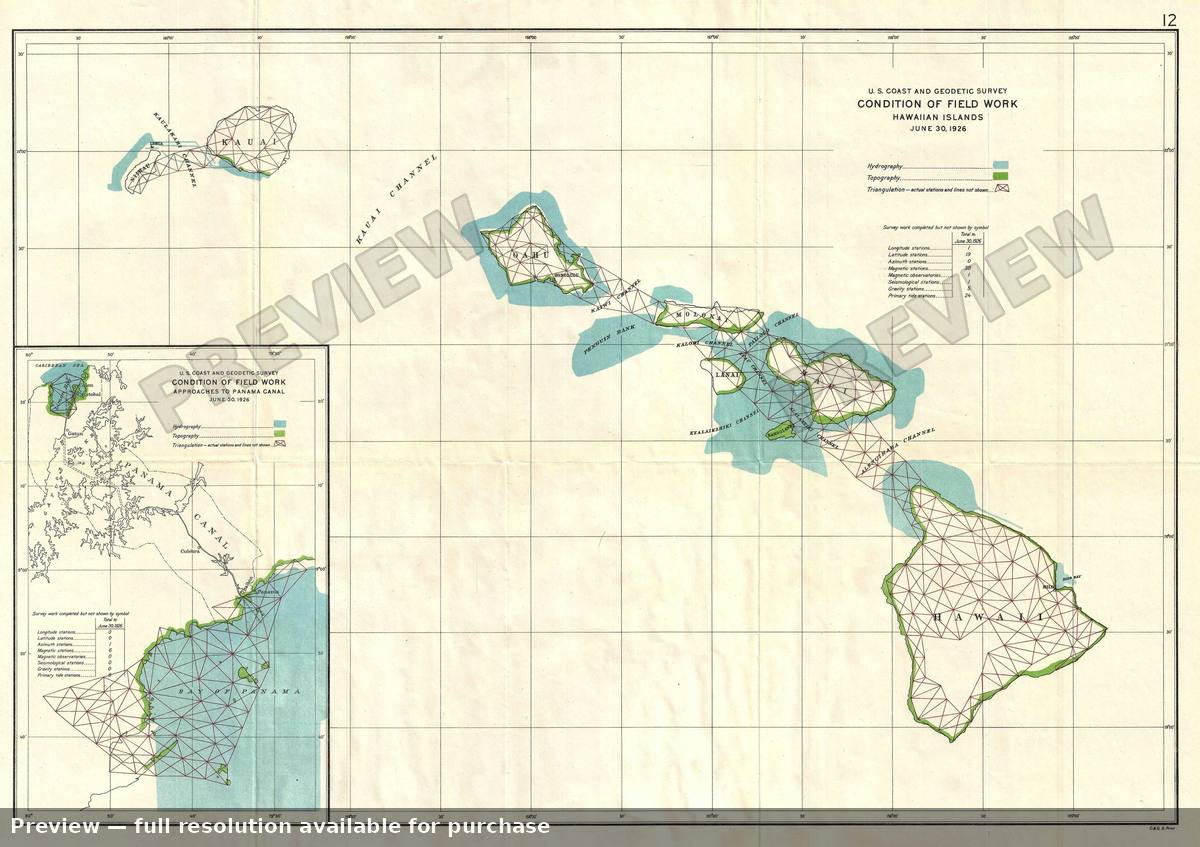 Condition Hawaii, 1926
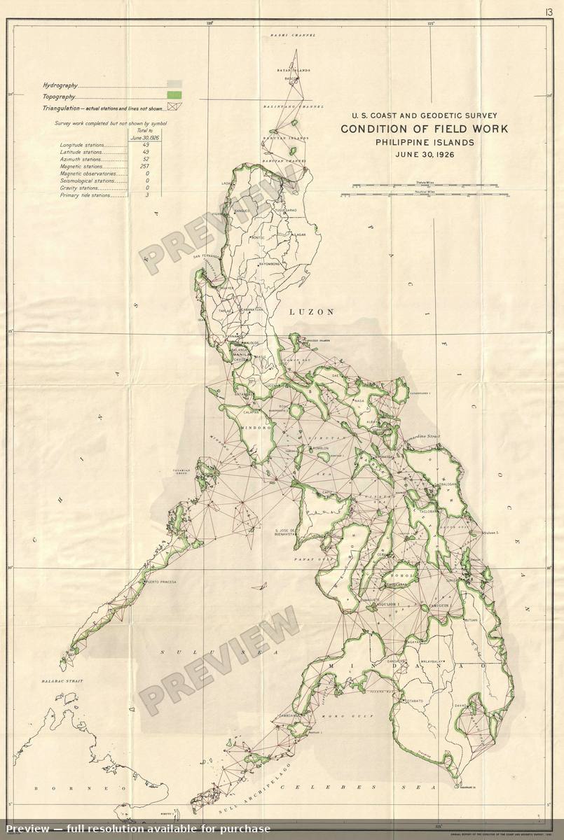 Condition Philippines, 1926
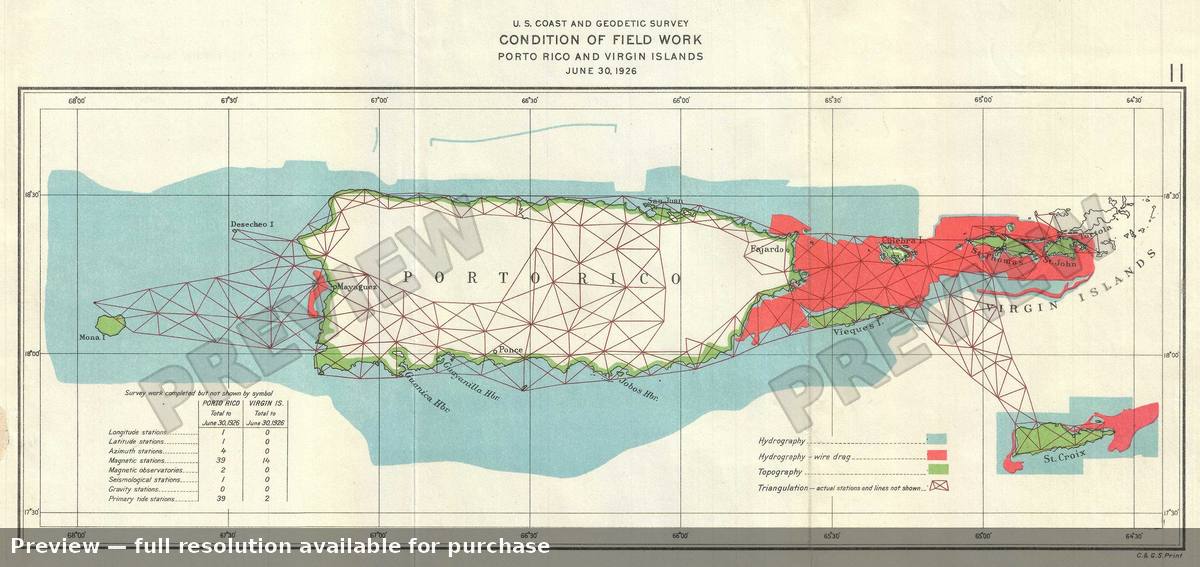 Condition Puerto Rico, 1926
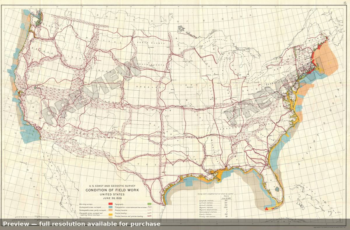 Condition United States, 1926
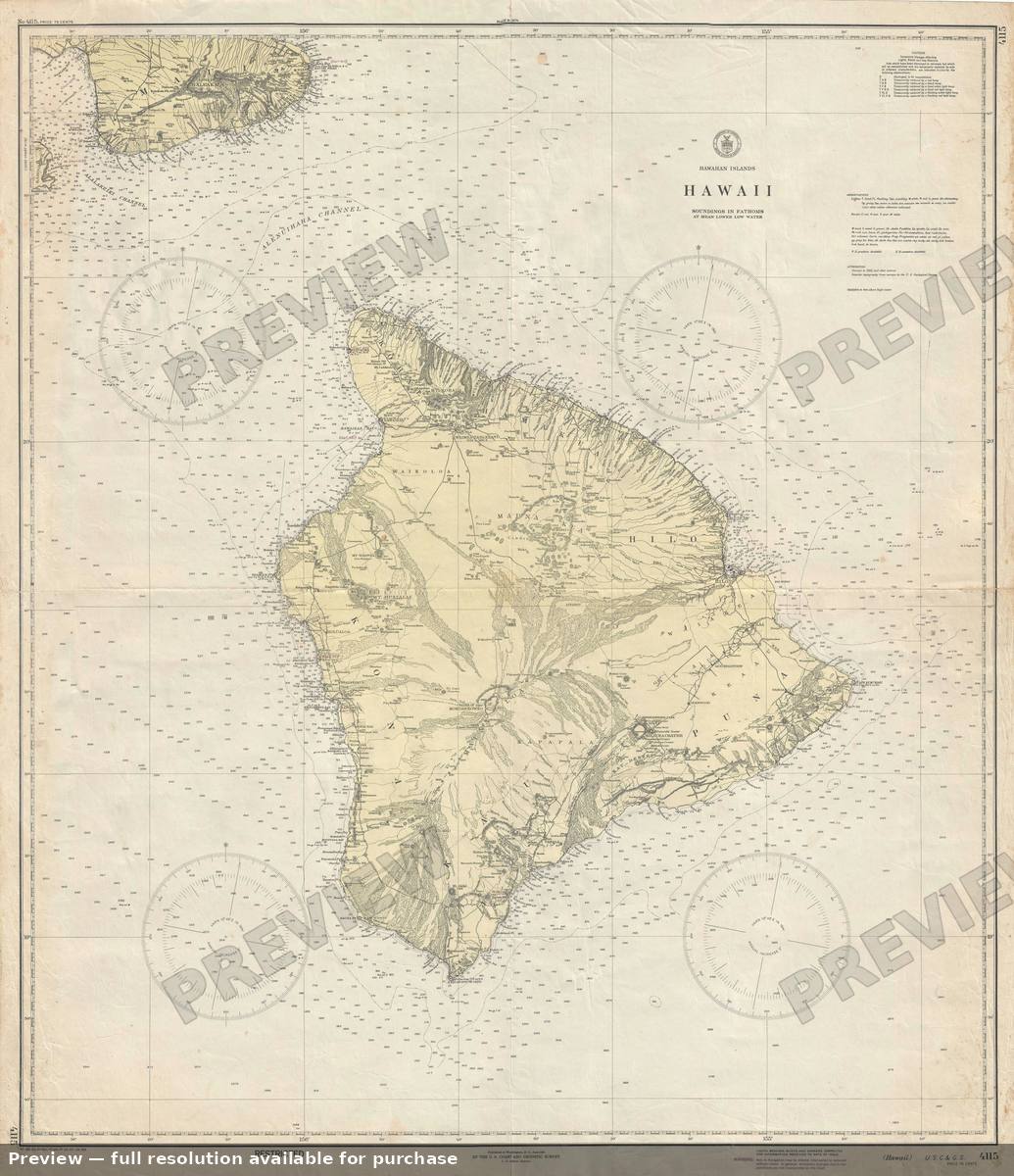 Hawaii, 1944
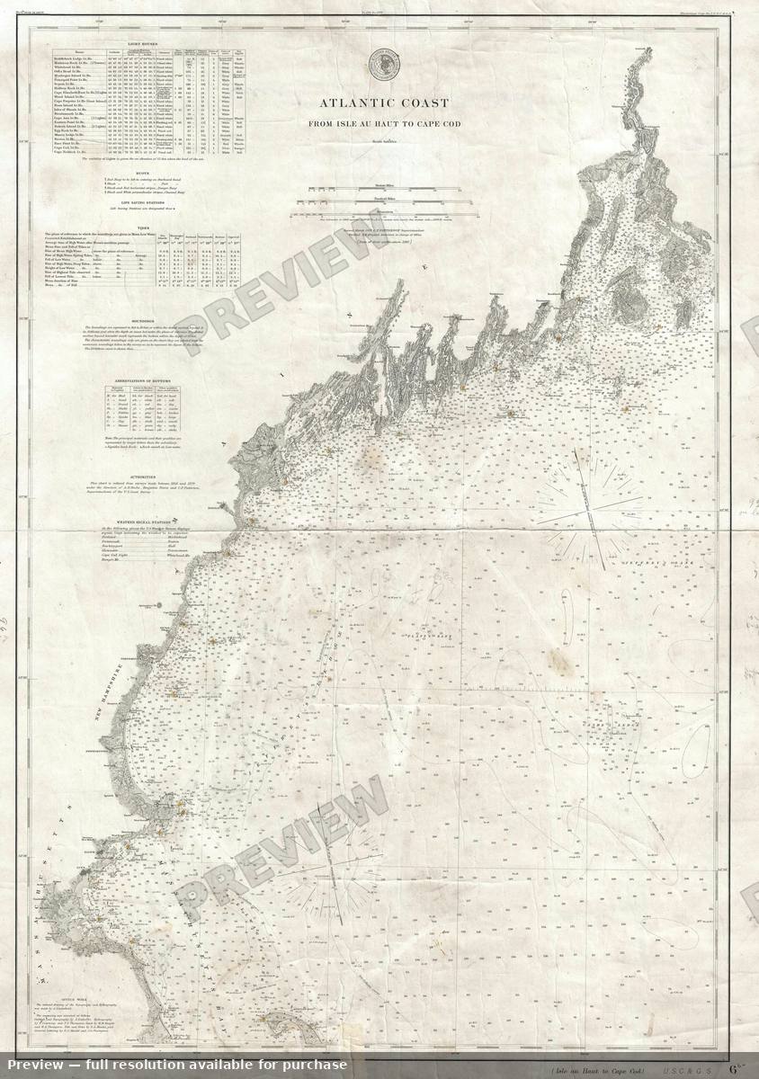 Isle Haut Cape Cod, 1881
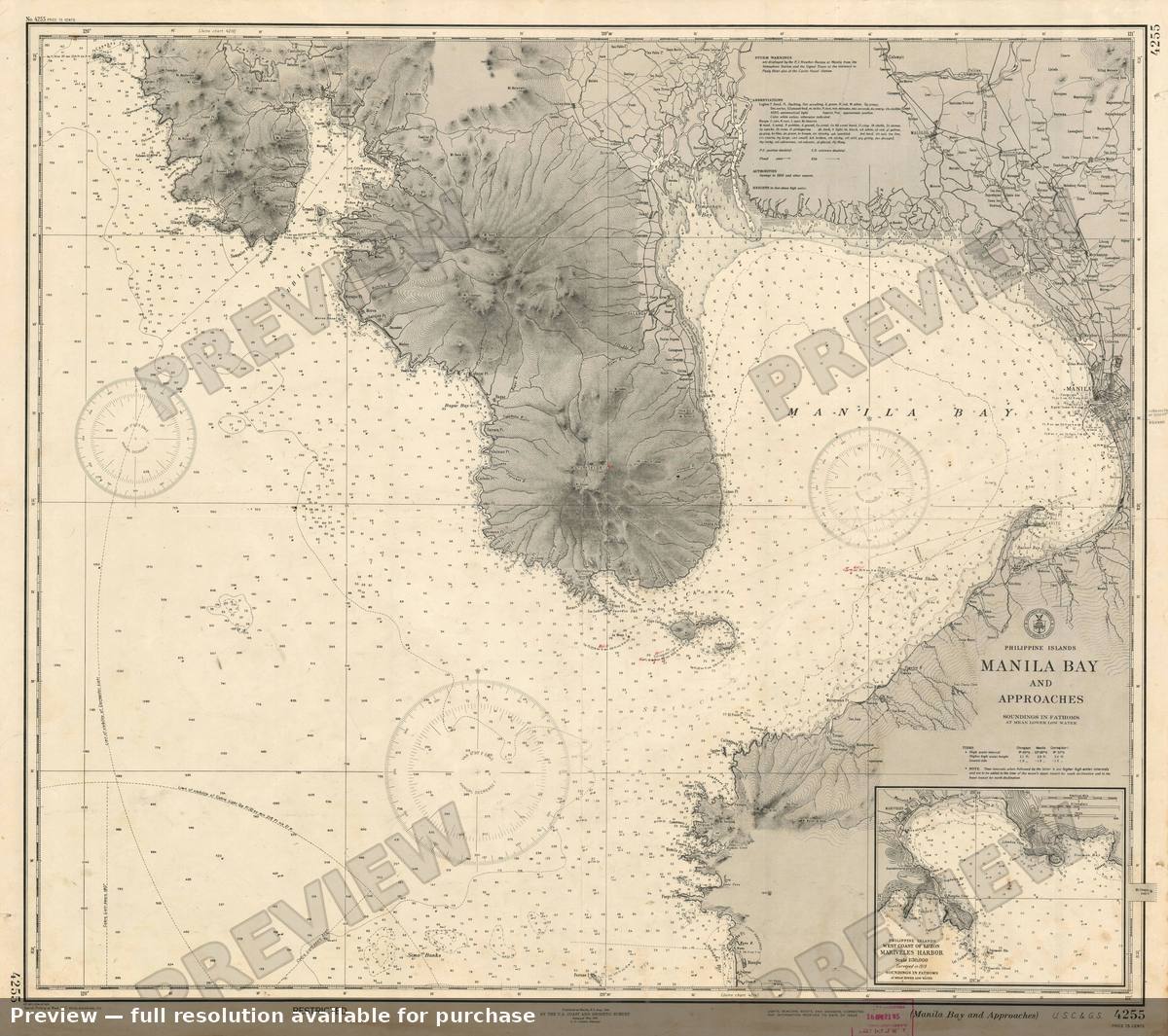 Manila, 1944
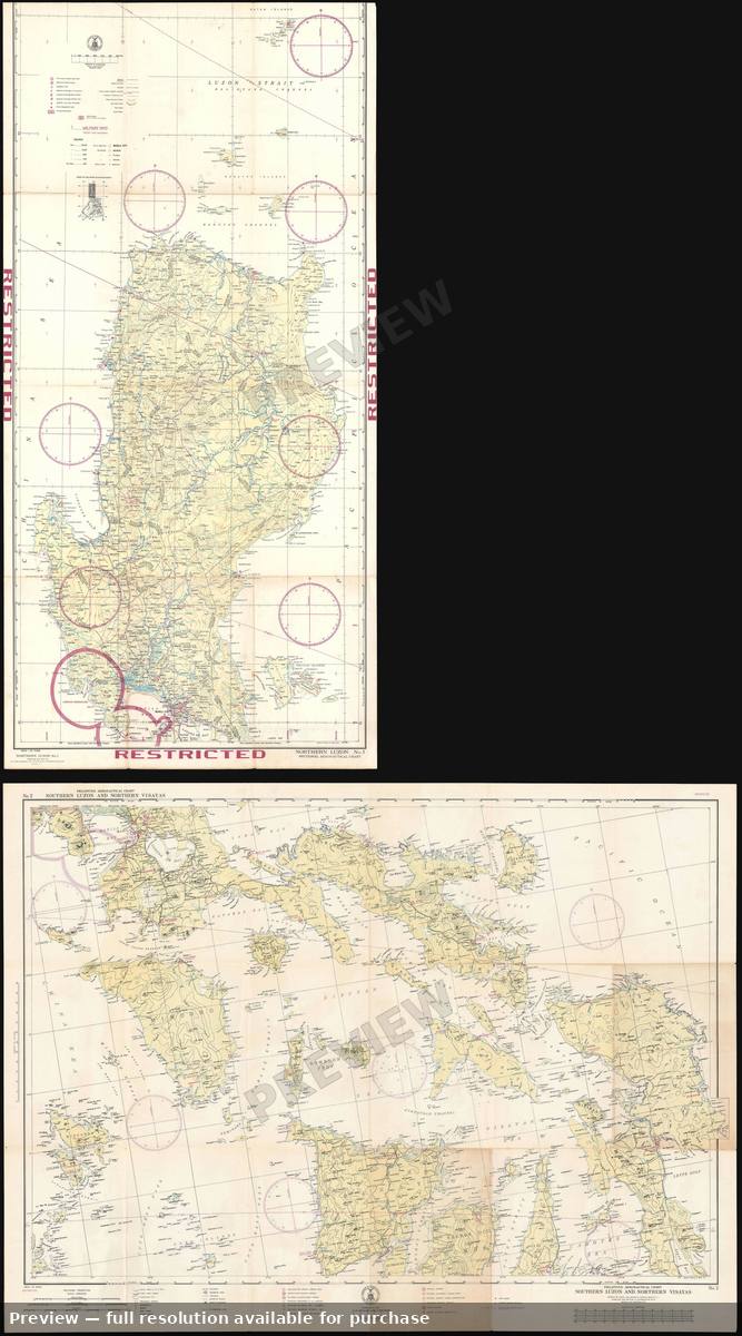 Philippine Aero Chart, 1941
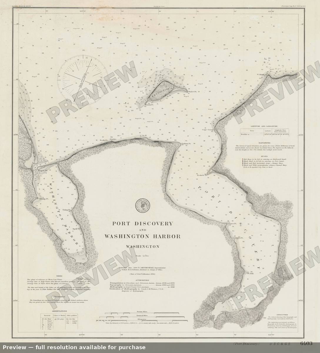 Port Discovery Washington, 1890
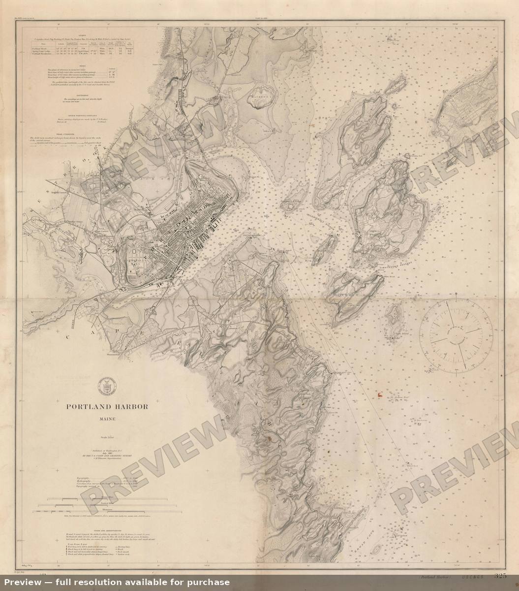 Portland Harbor, 1914
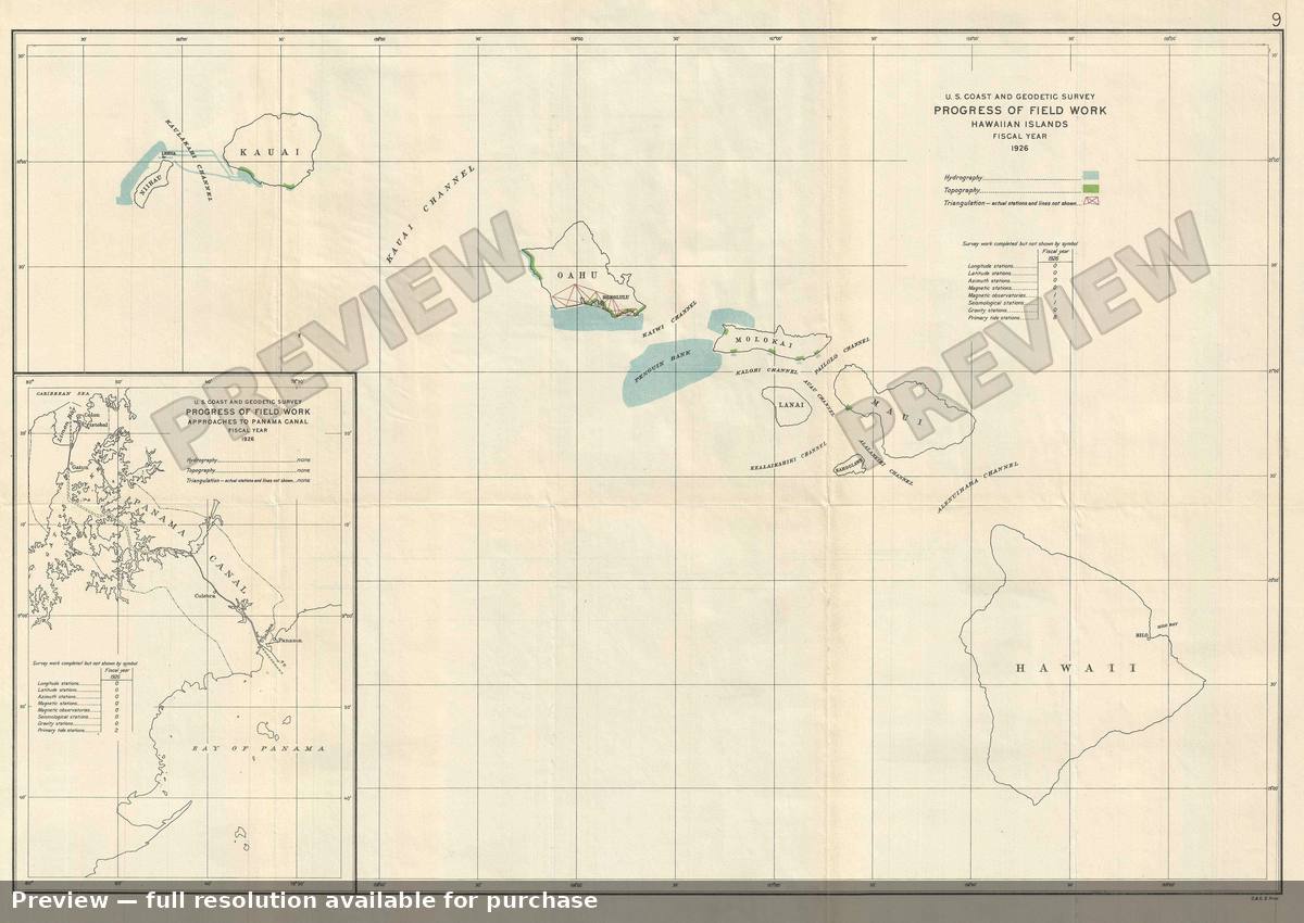 Progress Hawaii, 1926
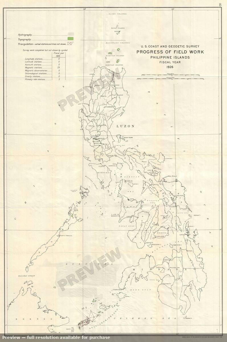 Progress Philippines, 1926
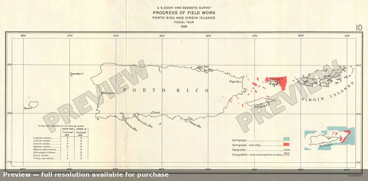 Progress Porto Rico, 1926
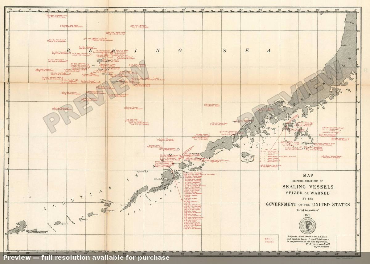 Sealing Vessels, 1891