MERIDIAN
Find the place history remembers

Antique Maps by Japanese

35 antique maps in the Meridian library. Every map is available as a full-resolution download for $4.99 — the previews below are watermarked and reduced in size.
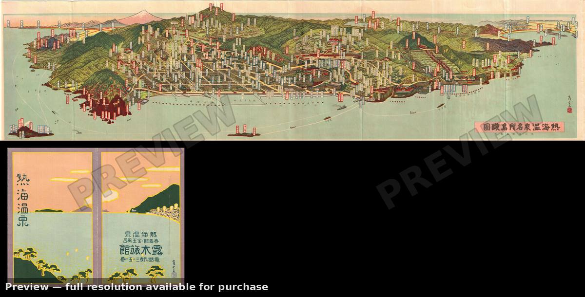
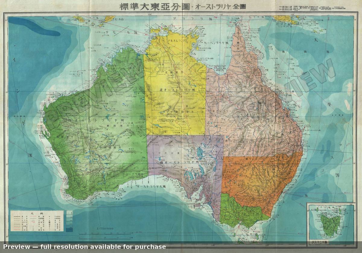
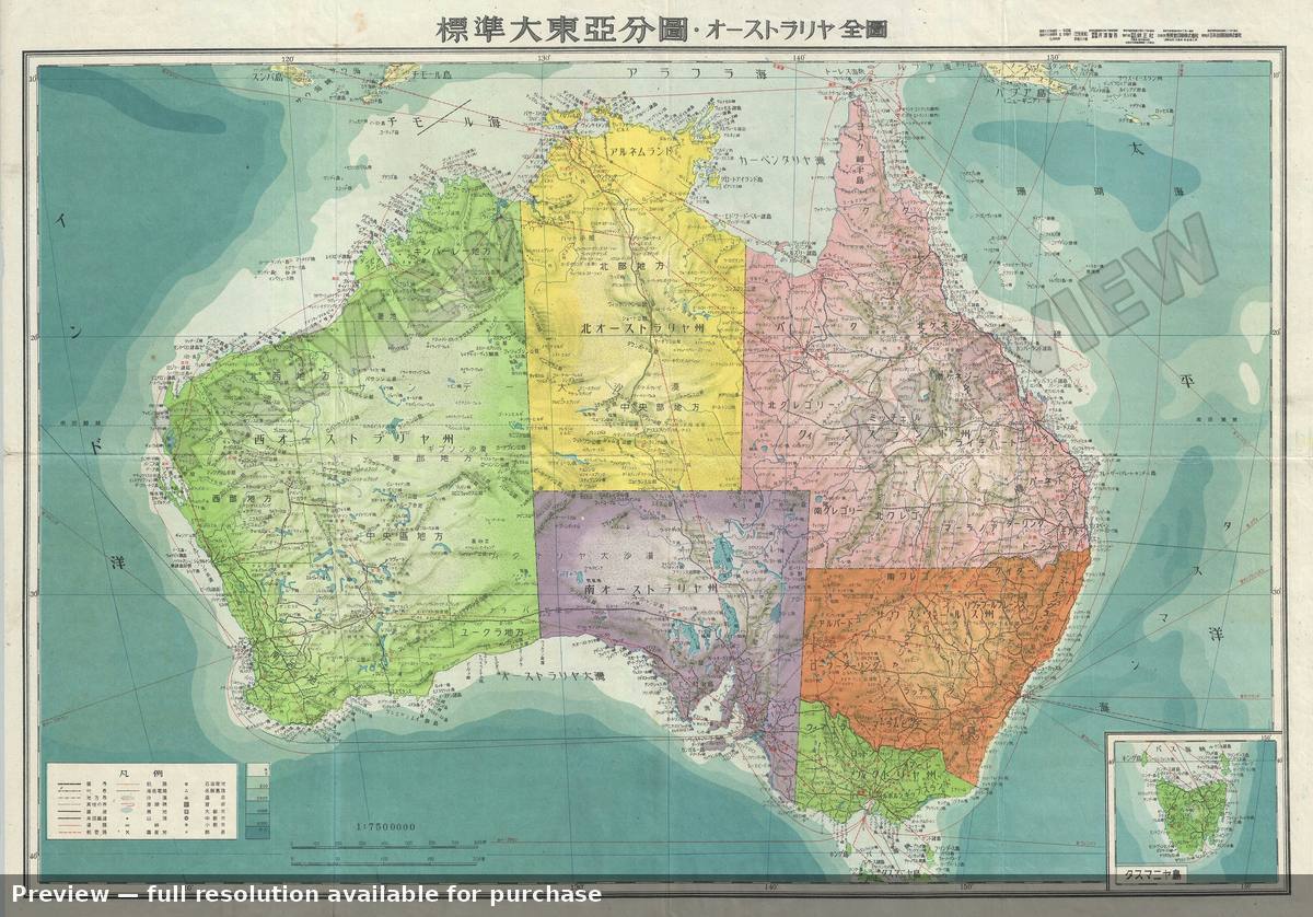
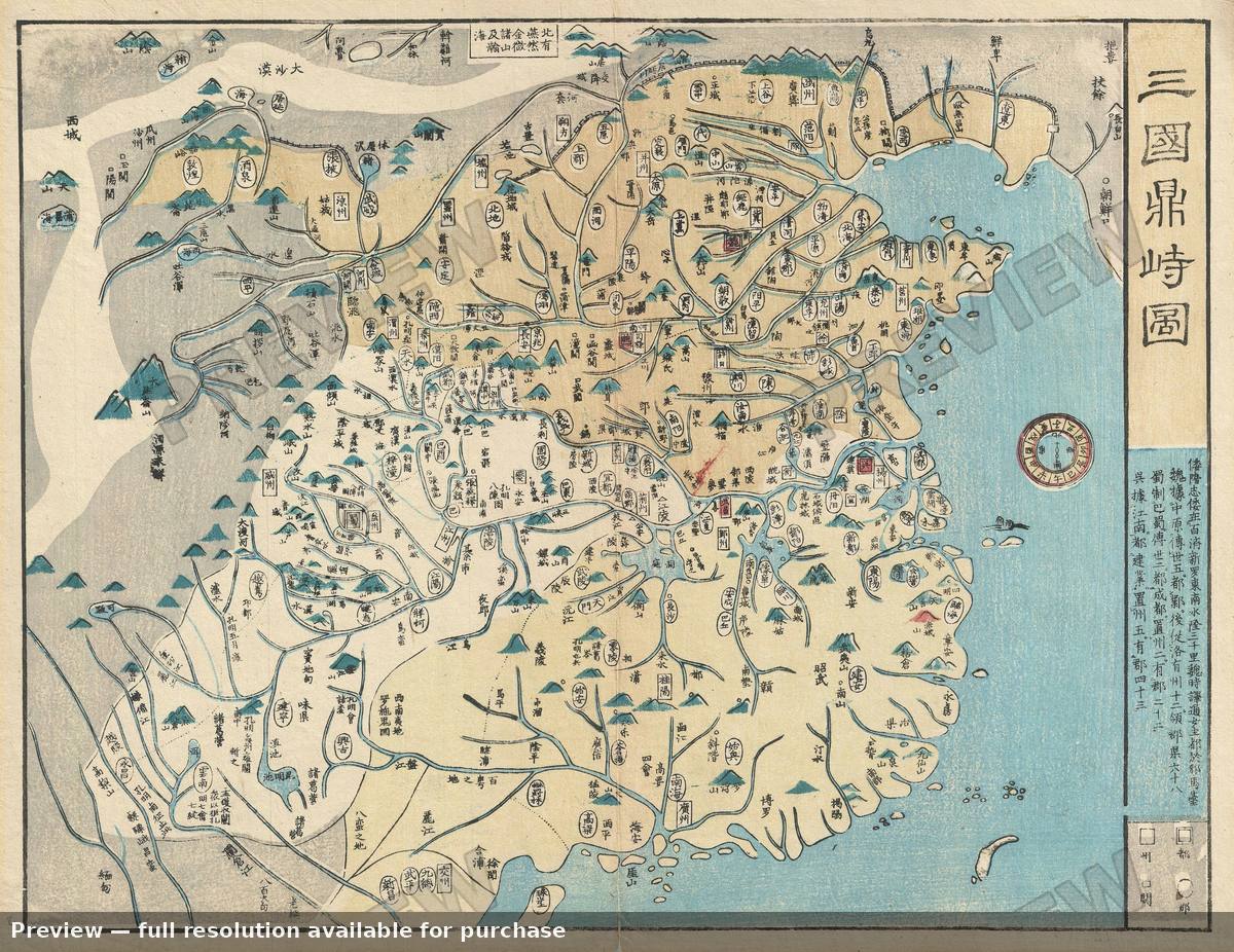
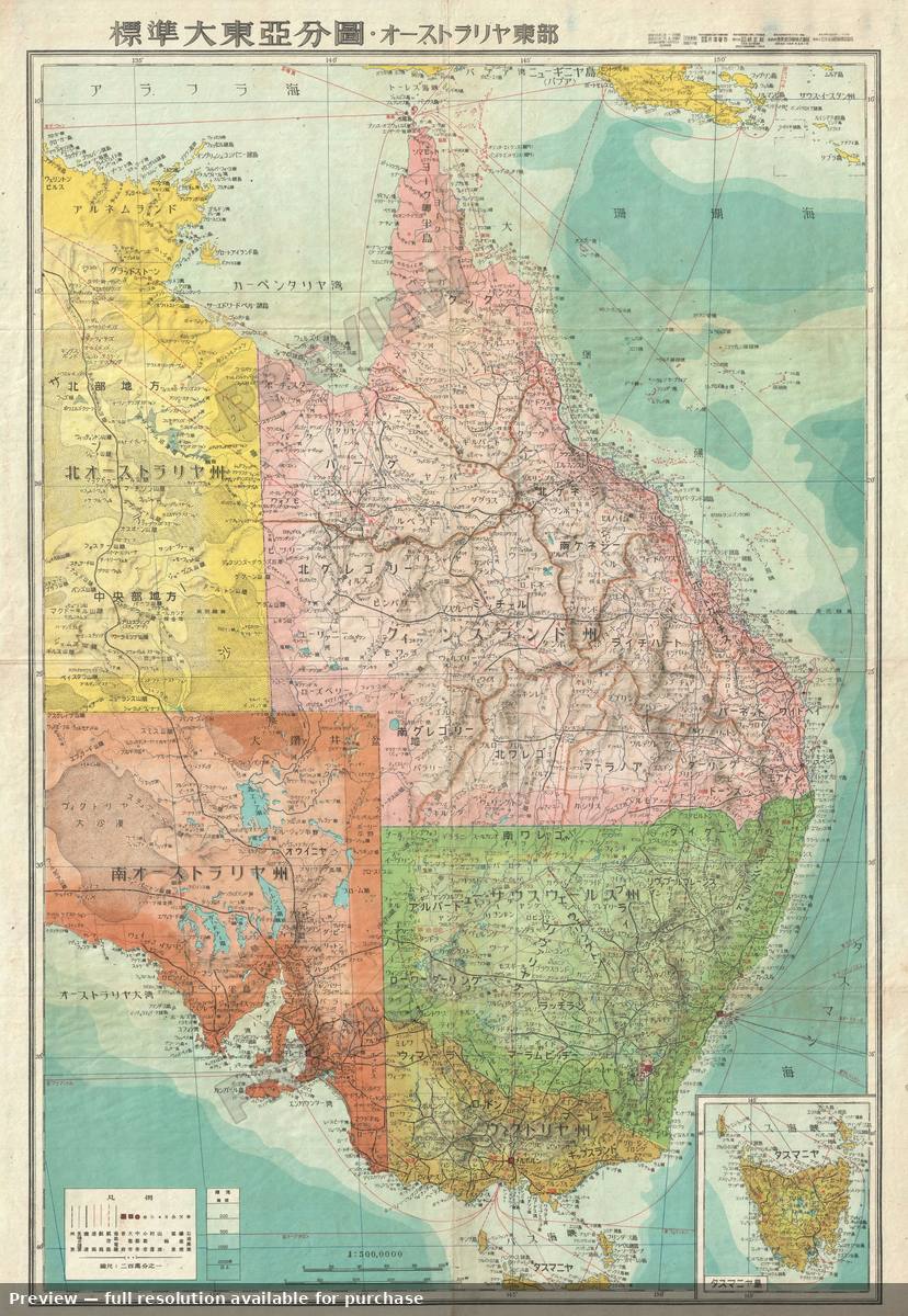
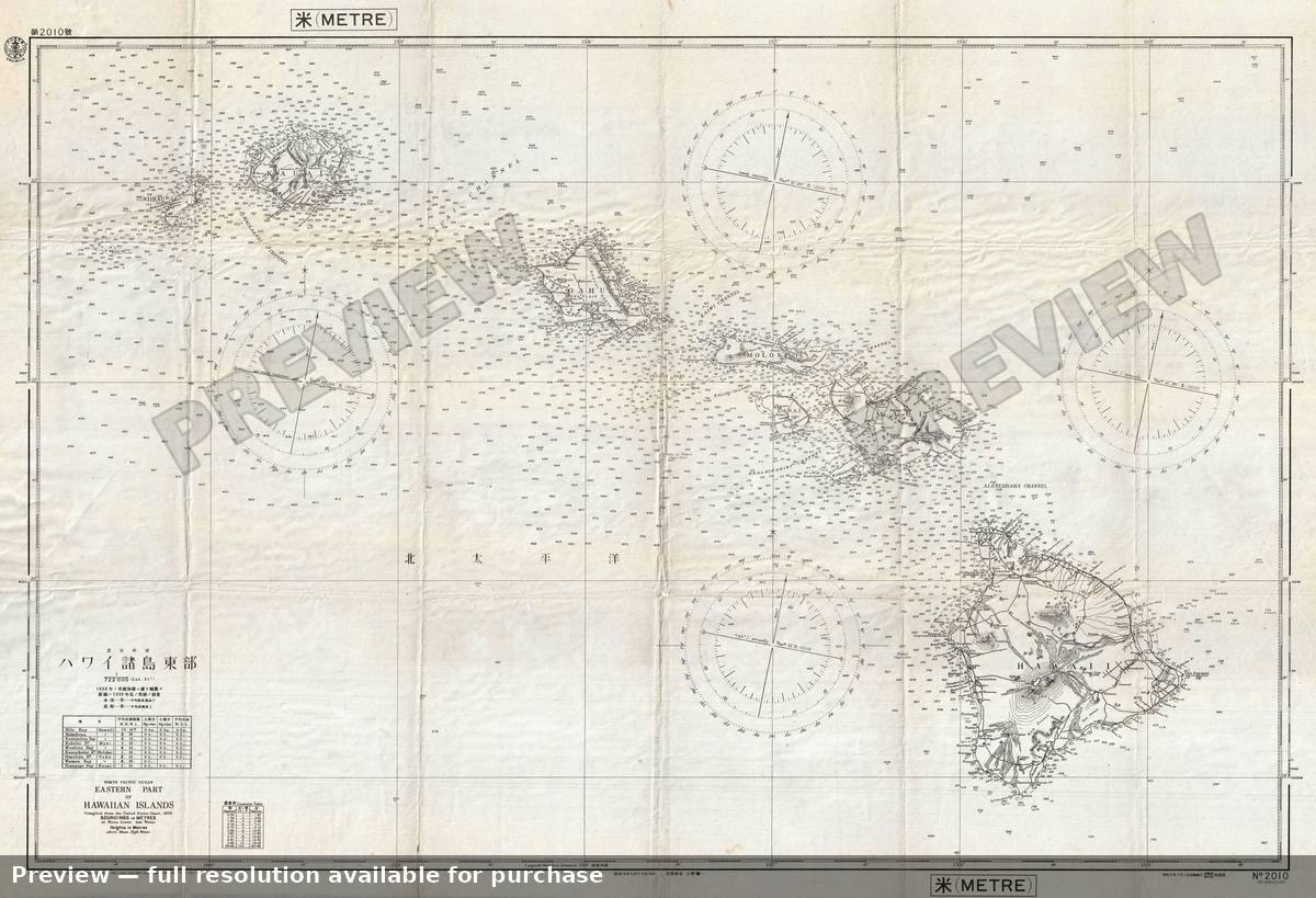
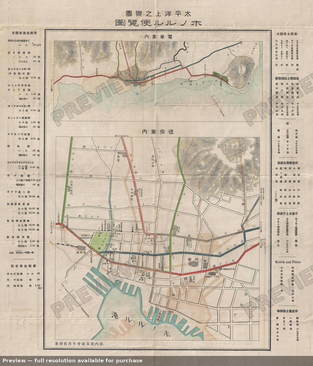
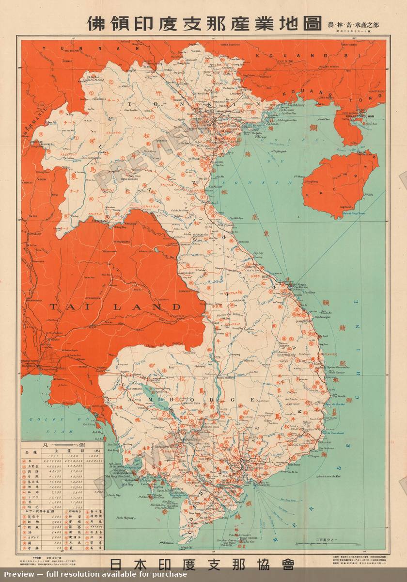
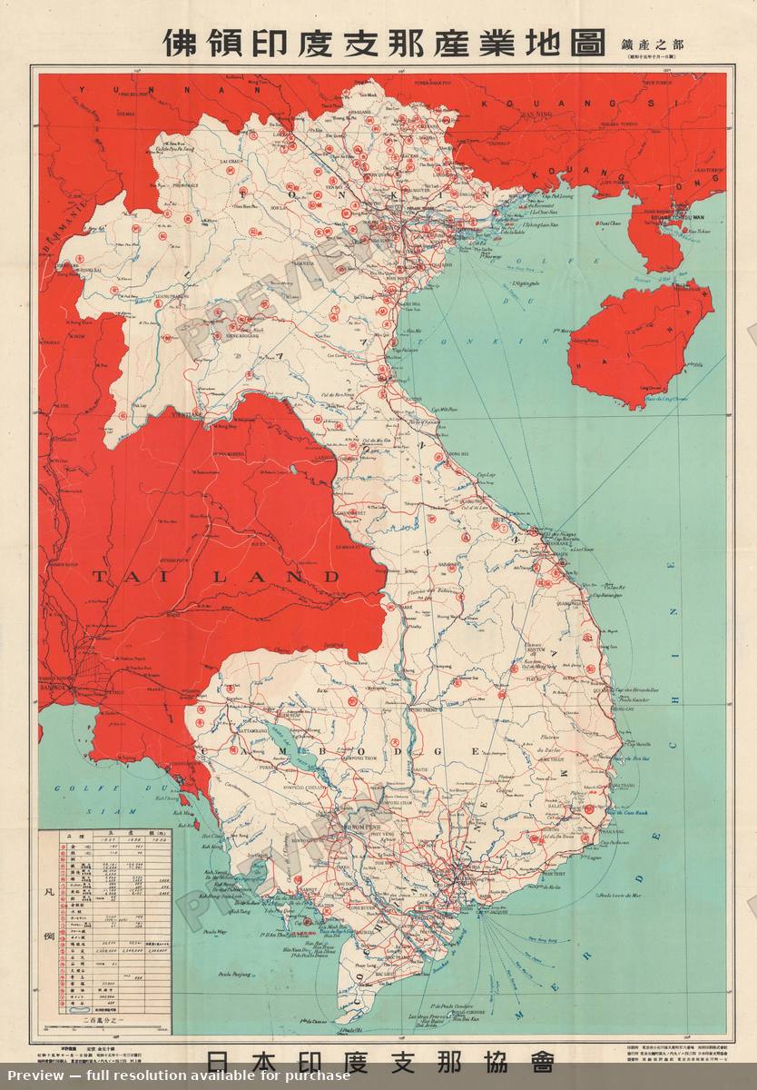
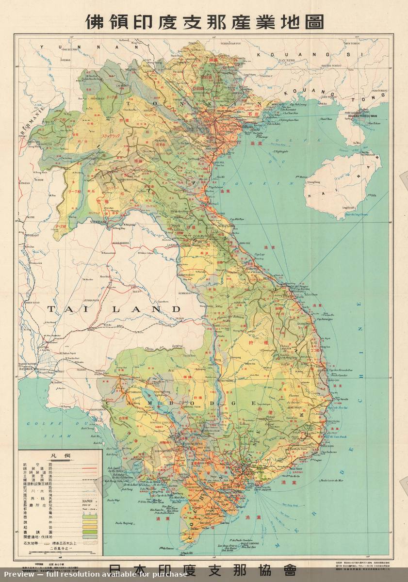
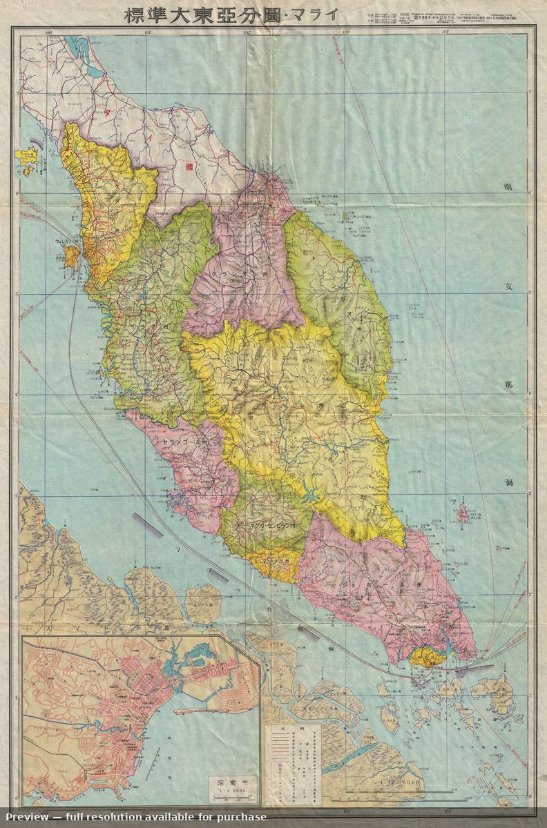
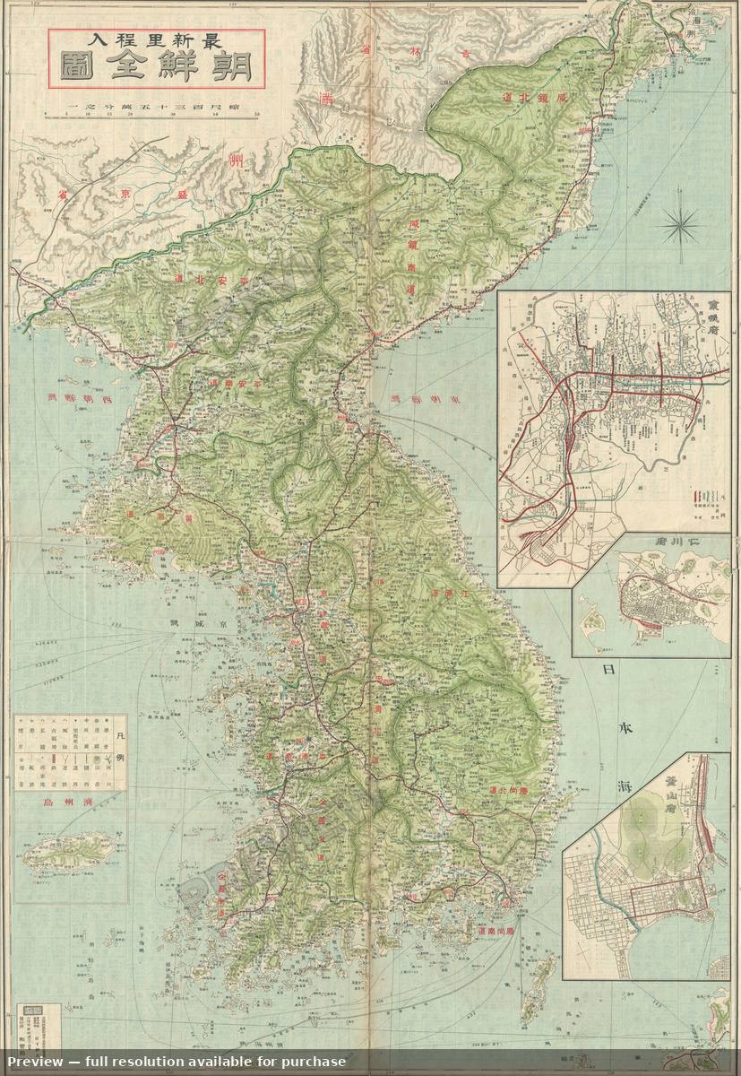
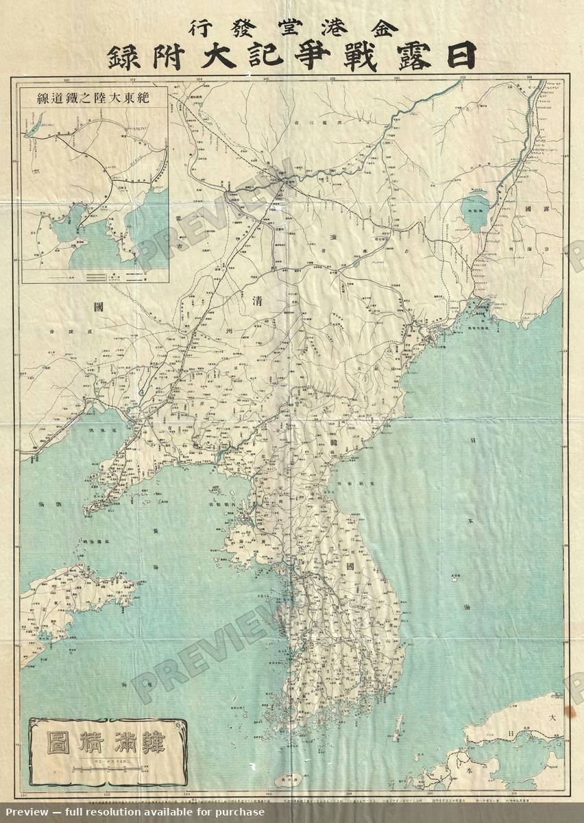
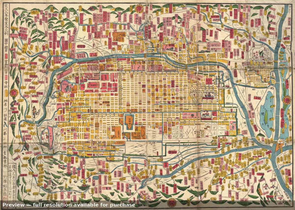
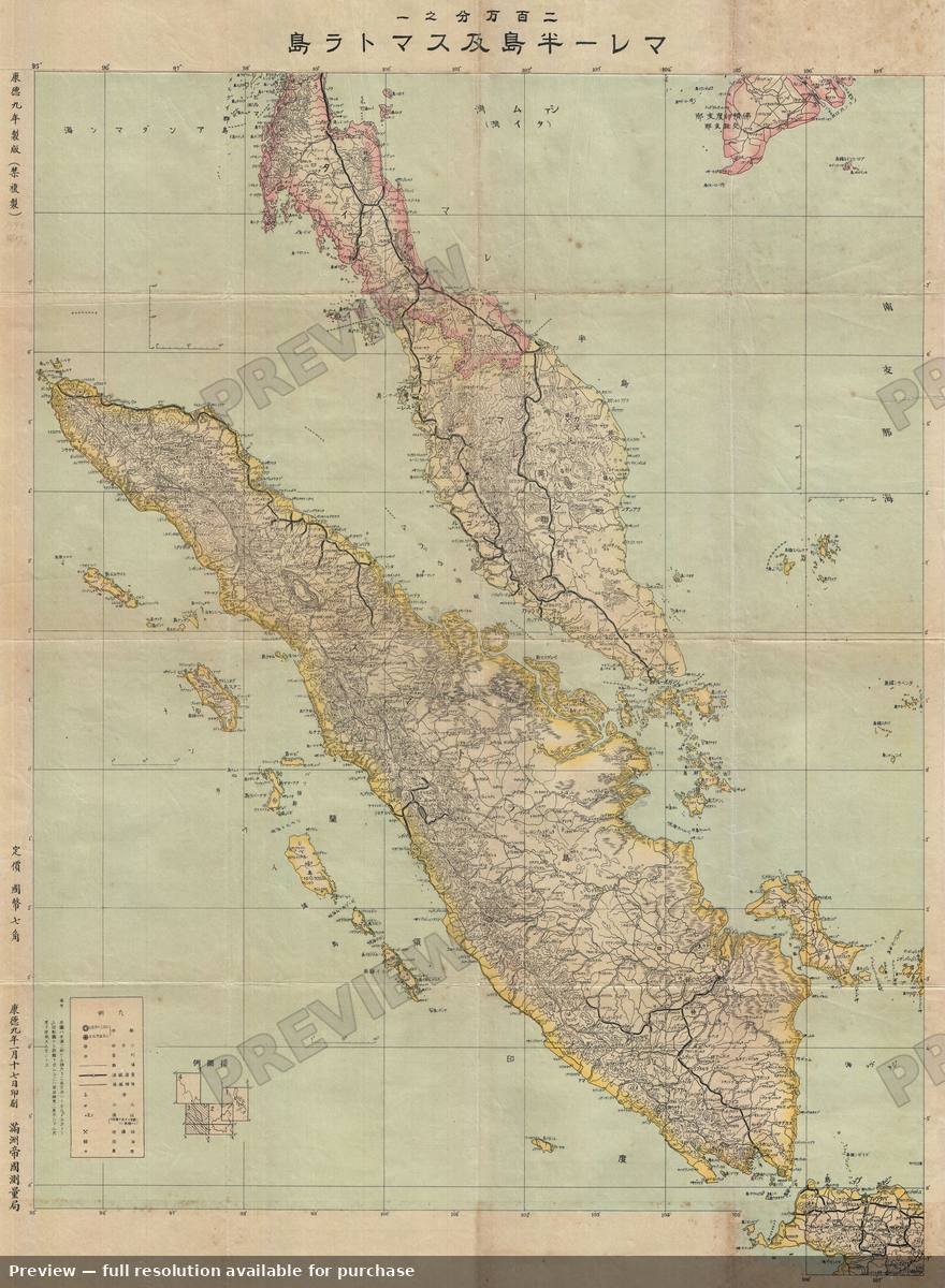
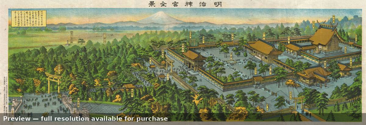
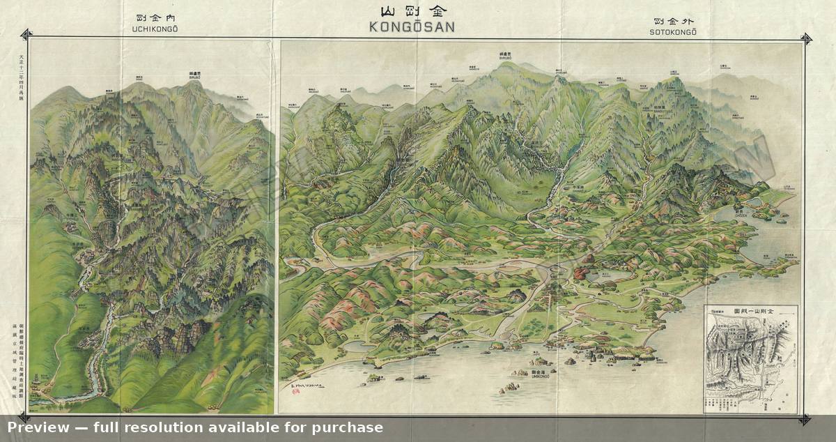
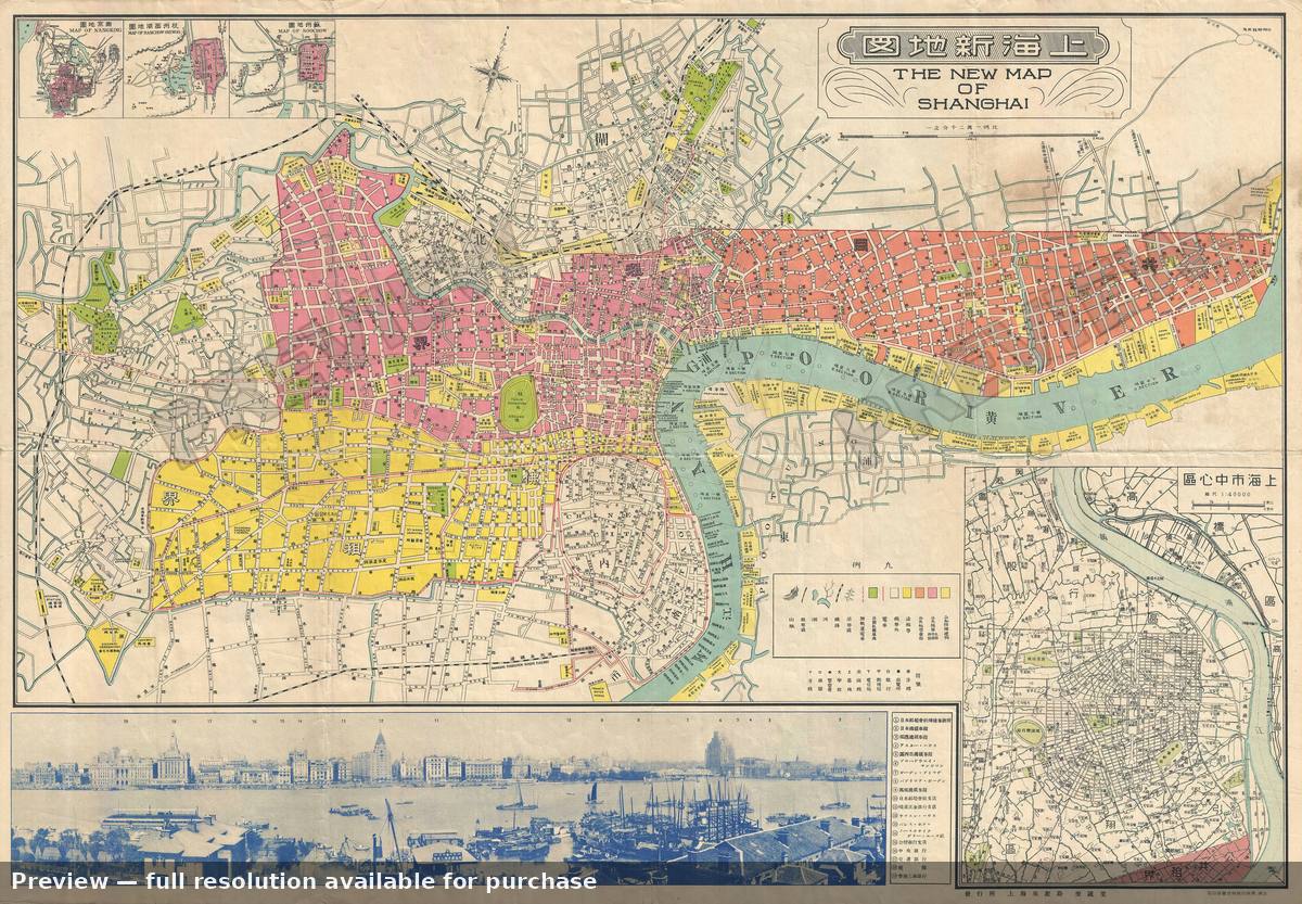
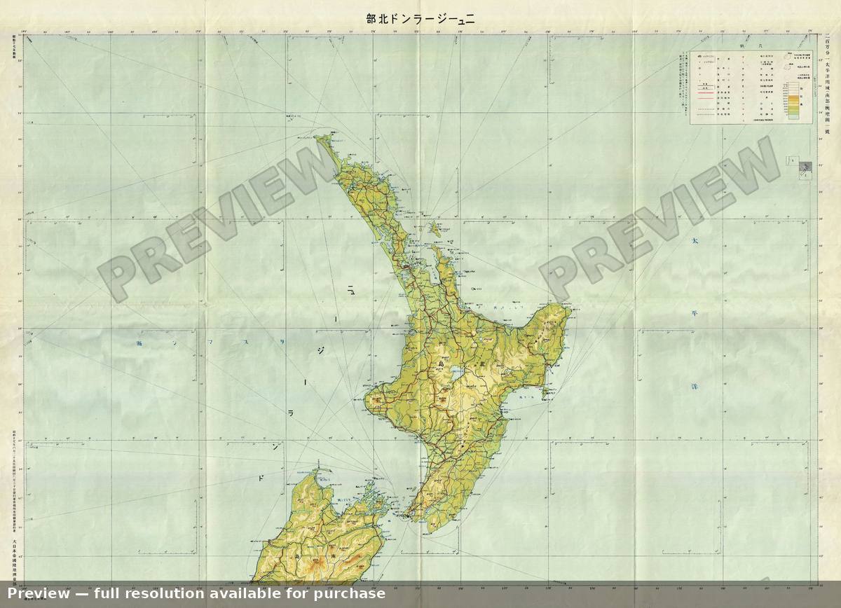
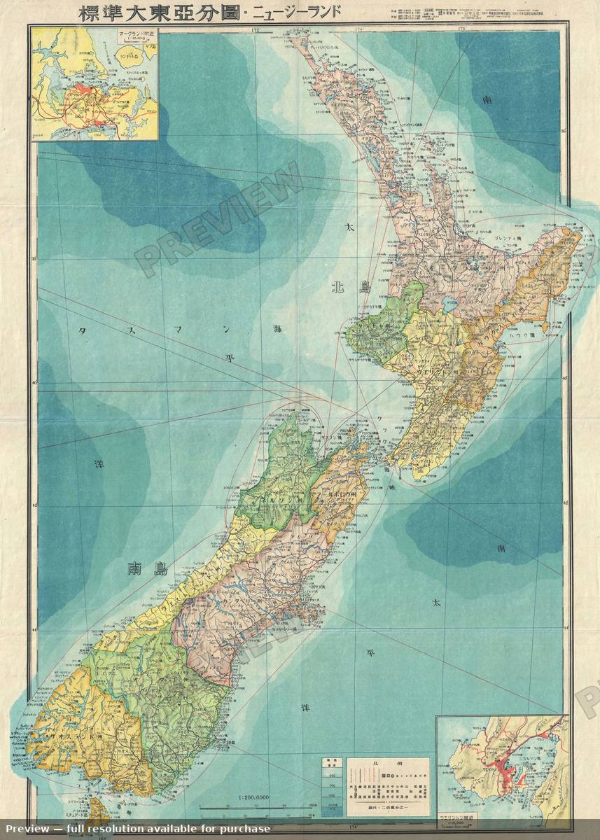
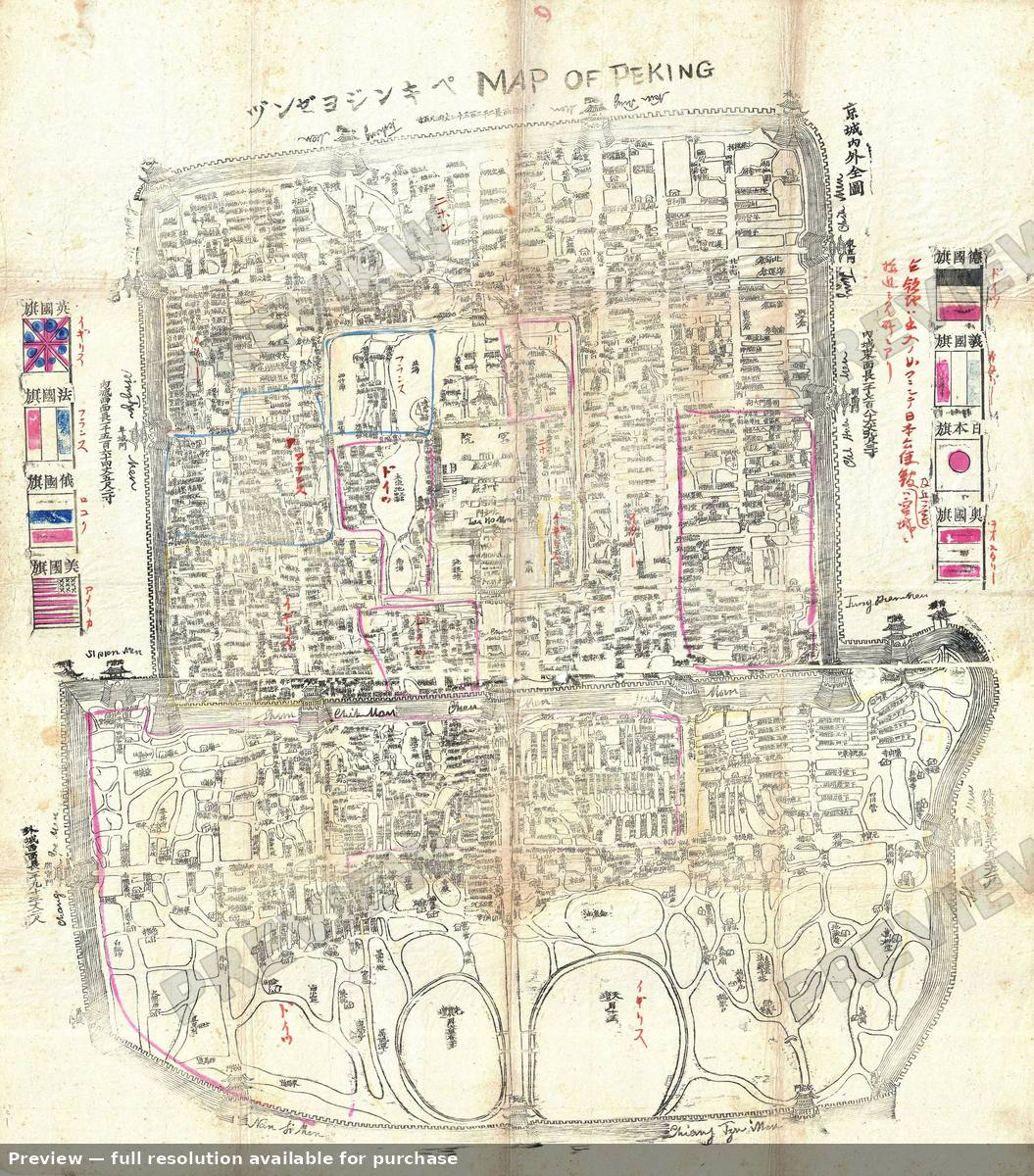
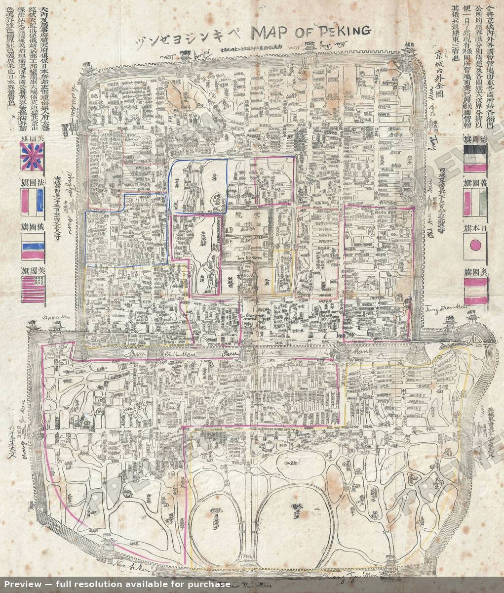
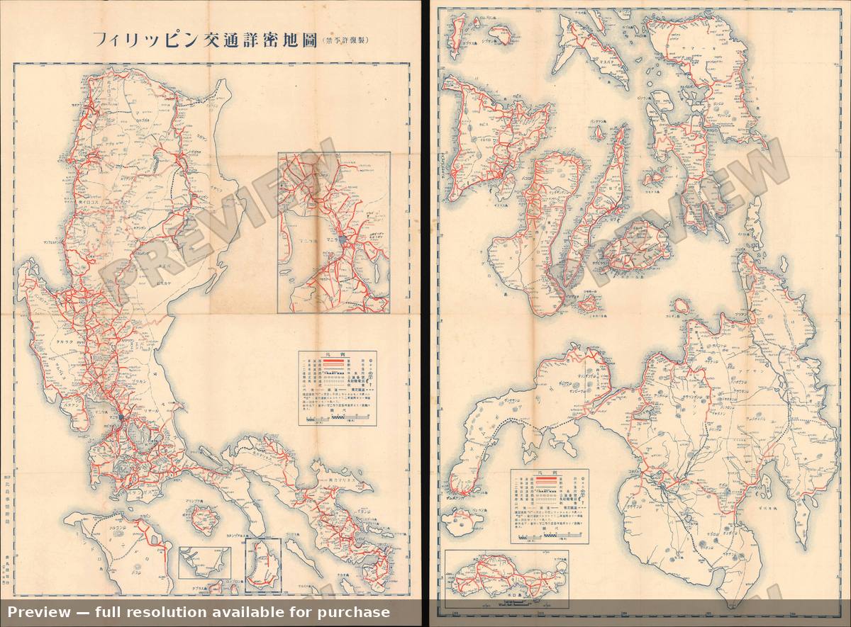
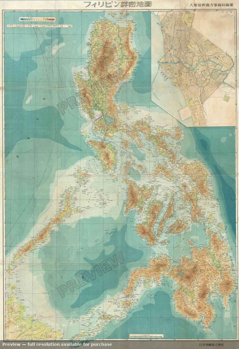
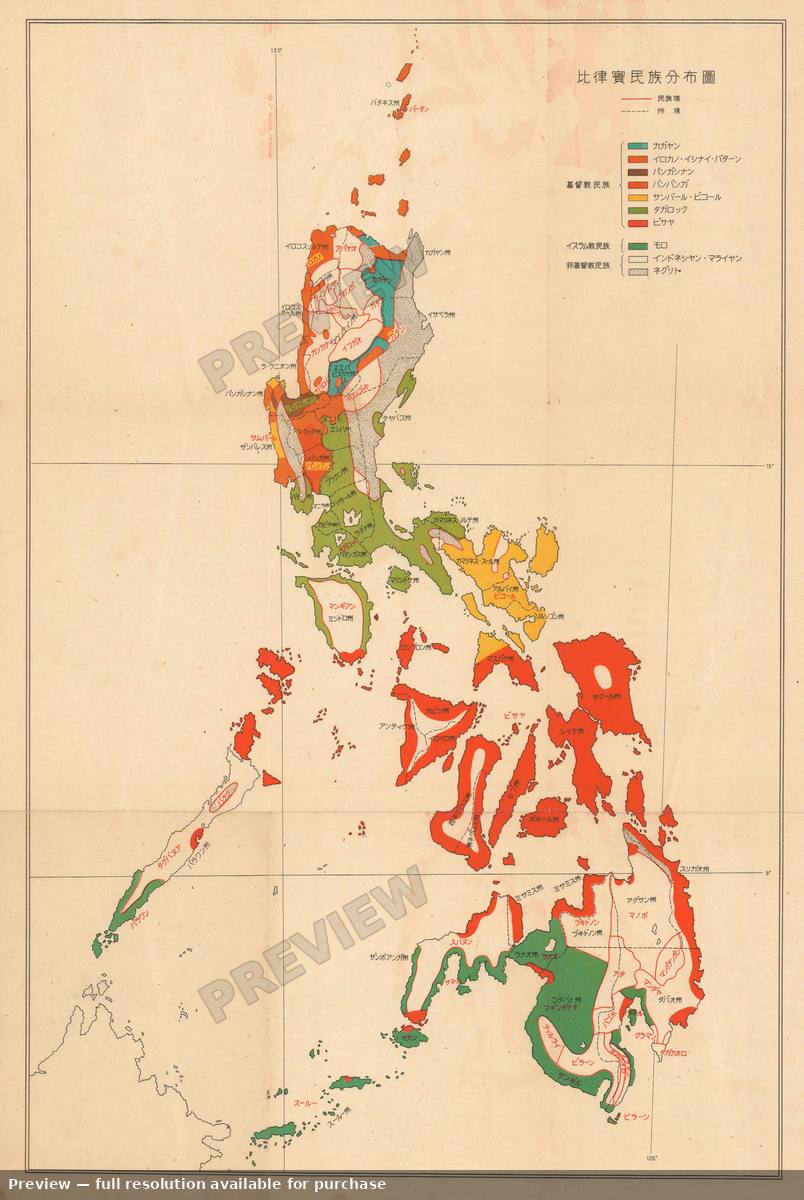
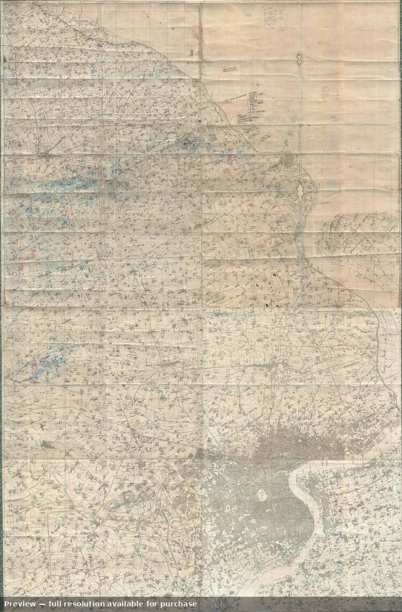
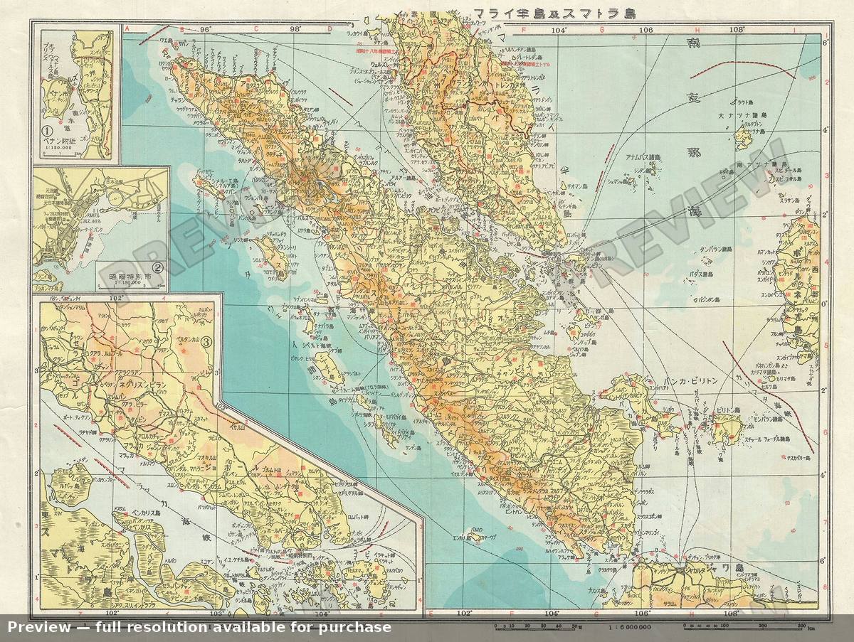
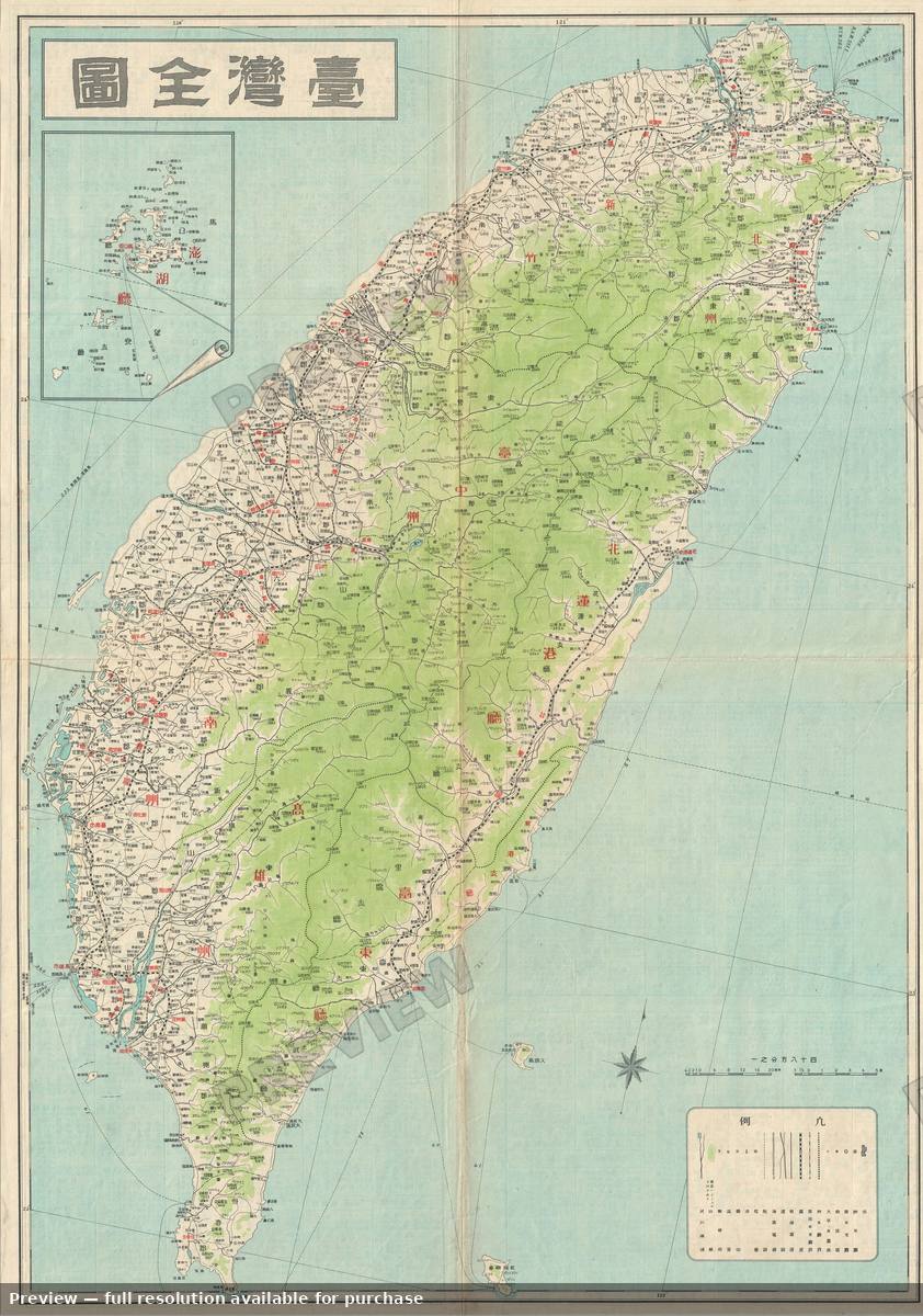
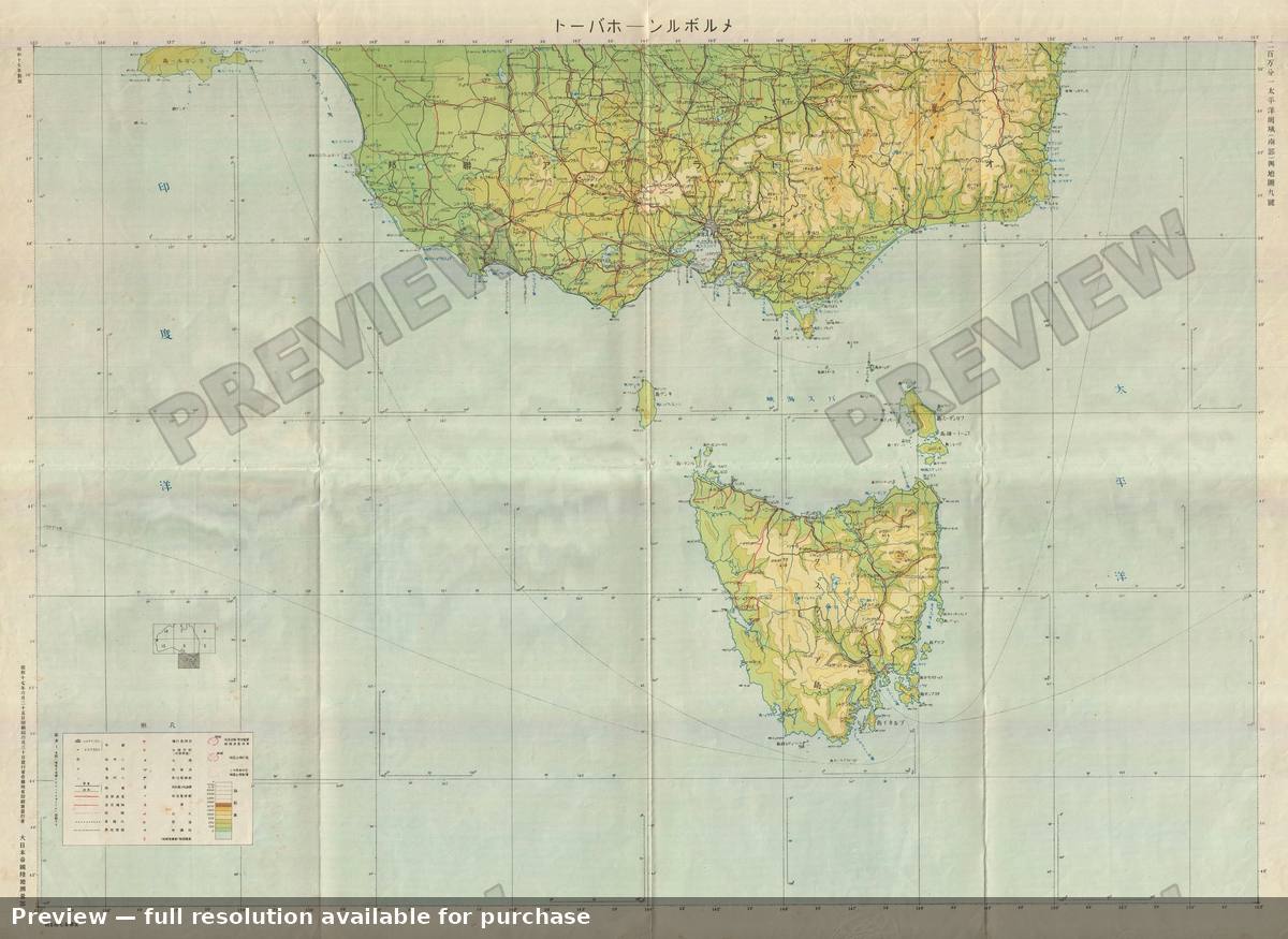
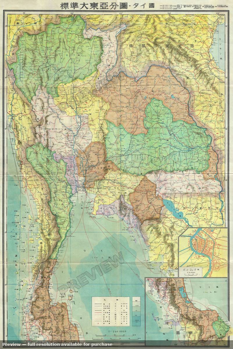
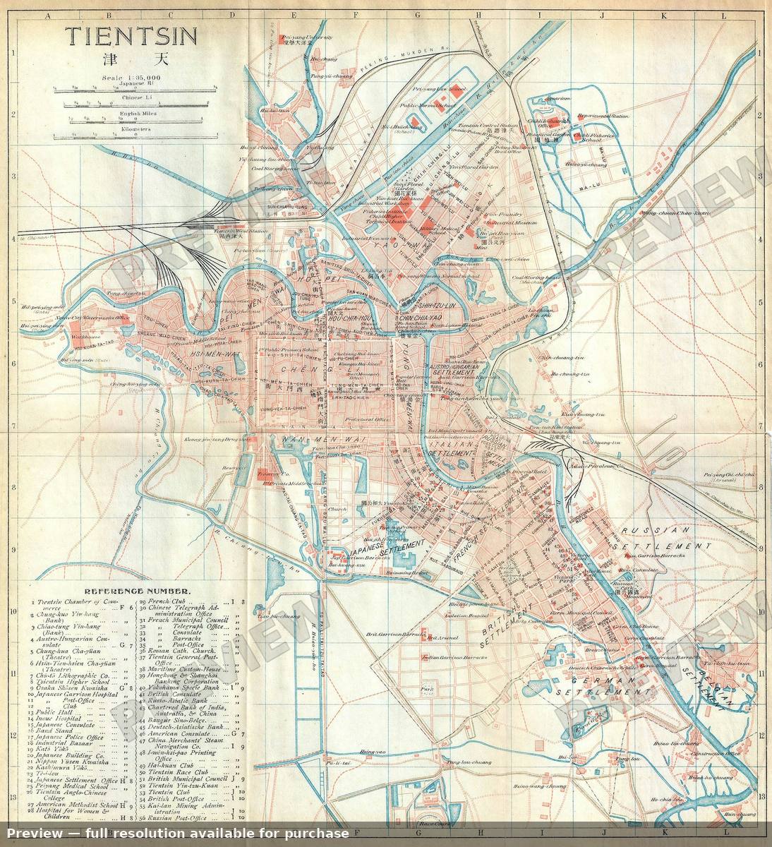
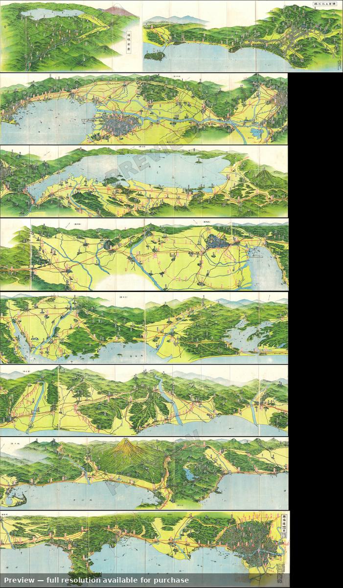
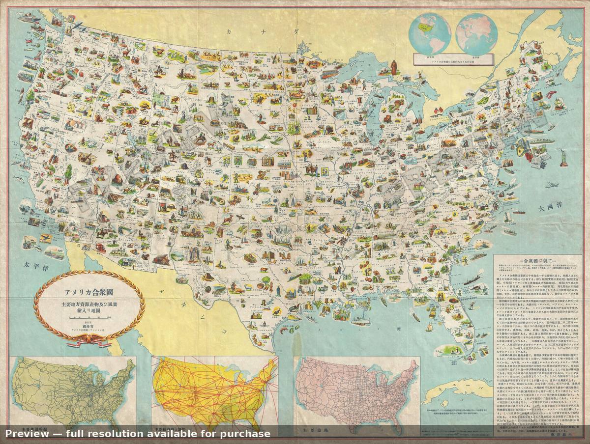
Antique map: Atami City, 1935Atami City, 1935Antique map: Australia, 1943Australia, 1943Antique map: Australia 2, 1943Australia 2, 1943Antique map: China, 1820China, 1820Antique map: East Australia, 1943East Australia, 1943Antique map: Hawaii, 1939Hawaii, 1939Antique map: Honolulu, 1885Honolulu, 1885Antique map: Indochina Agriculture, 1940Indochina Agriculture, 1940Antique map: Indochina Minerals, 1940Indochina Minerals, 1940Antique map: Indochina Terrain, 1940Indochina Terrain, 1940Antique map: Kamatchka, 1940Kamatchka, 1940Antique map: Kobe City, 1930Kobe City, 1930Antique map: KoreaKoreaAntique map: Korea Manchuria, 1904Korea Manchuria, 1904Antique map: Kyoto, 1863Kyoto, 1863Antique map: Malay Singapore, 1942Malay Singapore, 1942Antique map: Meiji Shrine, 1920Meiji Shrine, 1920Antique map: Mt Diamond Korea, 1923Mt Diamond Korea, 1923Antique map: Mt FUJI Panorama, 1927Mt FUJI Panorama, 1927Antique map: New Shanghai, 1937New Shanghai, 1937Antique map: New Zealand, 1942New Zealand, 1942Antique map: New Zealand, 1943New Zealand, 1943Antique map: Peking Woodblock 2, 1900Peking Woodblock 2, 1900Antique map: Peking Woodblock 3, 1900Peking Woodblock 3, 1900Antique map: Philippines, 1944Philippines, 1944Antique map: Philippines 2, 1944Philippines 2, 1944Antique map: Philippines Ethnographic, 1942Philippines Ethnographic, 1942Antique map: Shanghai Greater, 1937Shanghai Greater, 1937Antique map: Sumatra, 1943Sumatra, 1943Antique map: TaiwanTaiwanAntique map: Tasmania, 1942Tasmania, 1942Antique map: Thailand, 1943Thailand, 1943Antique map: Tientsin, 1915Tientsin, 1915Antique map: TokaidoTokaidoAntique map: United States, 1950United States, 1950