Find the place history remembers
Antique Maps by Burr
68 antique maps in the Meridian library. Every map is available as a full-resolution download for $4.99 — the previews below are watermarked and reduced in size.
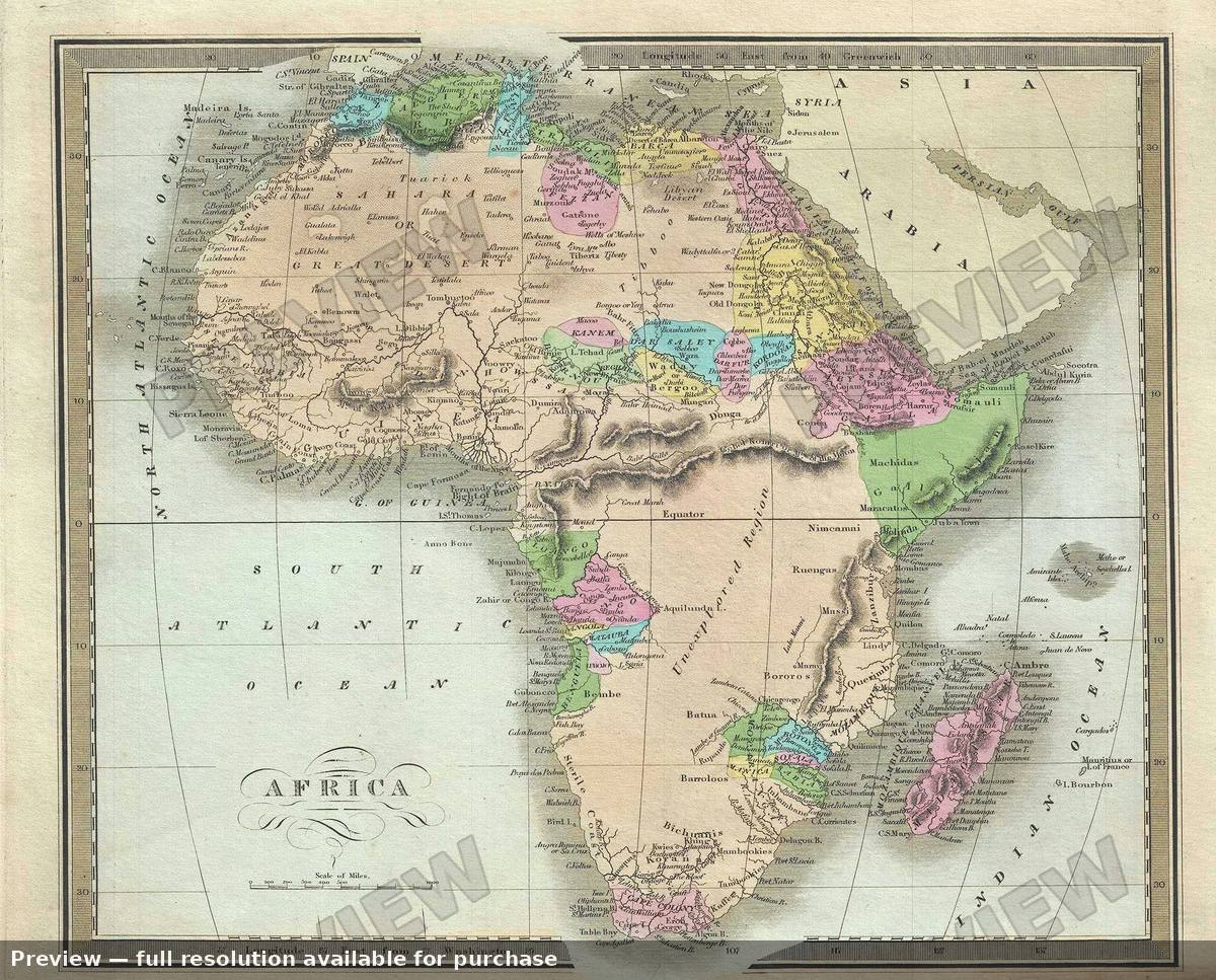 Africa, 1835
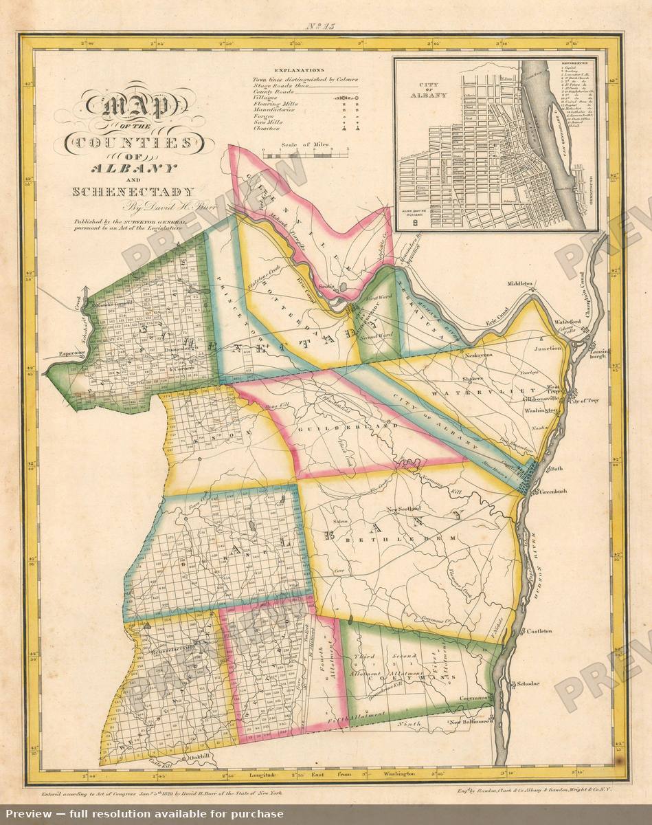 Albany Schenectady, 1829
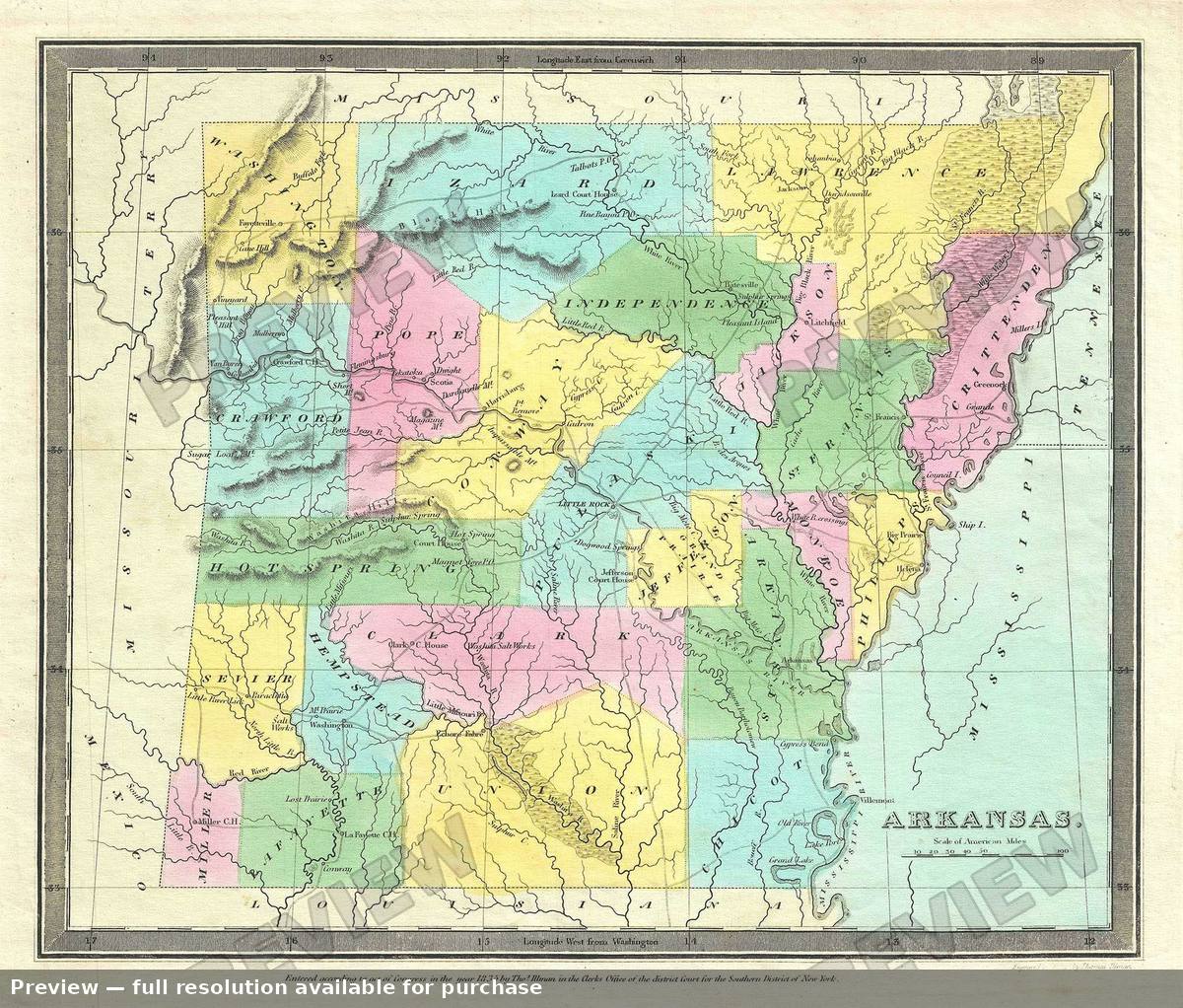 Arkansas, 1835
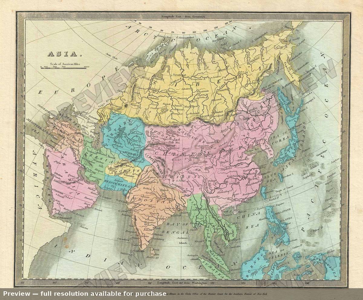 Asia, 1835
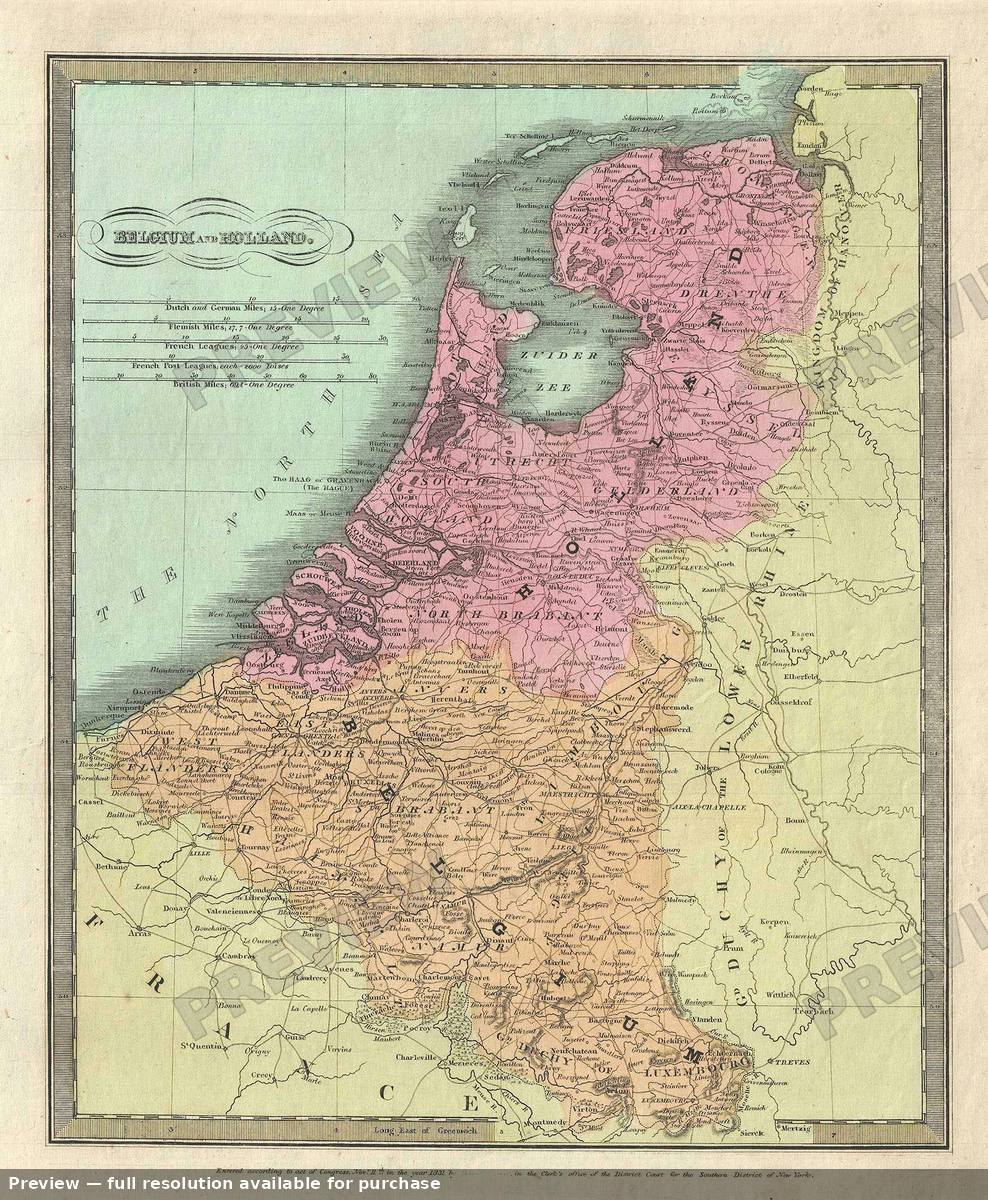 Belgium Holland, 1835
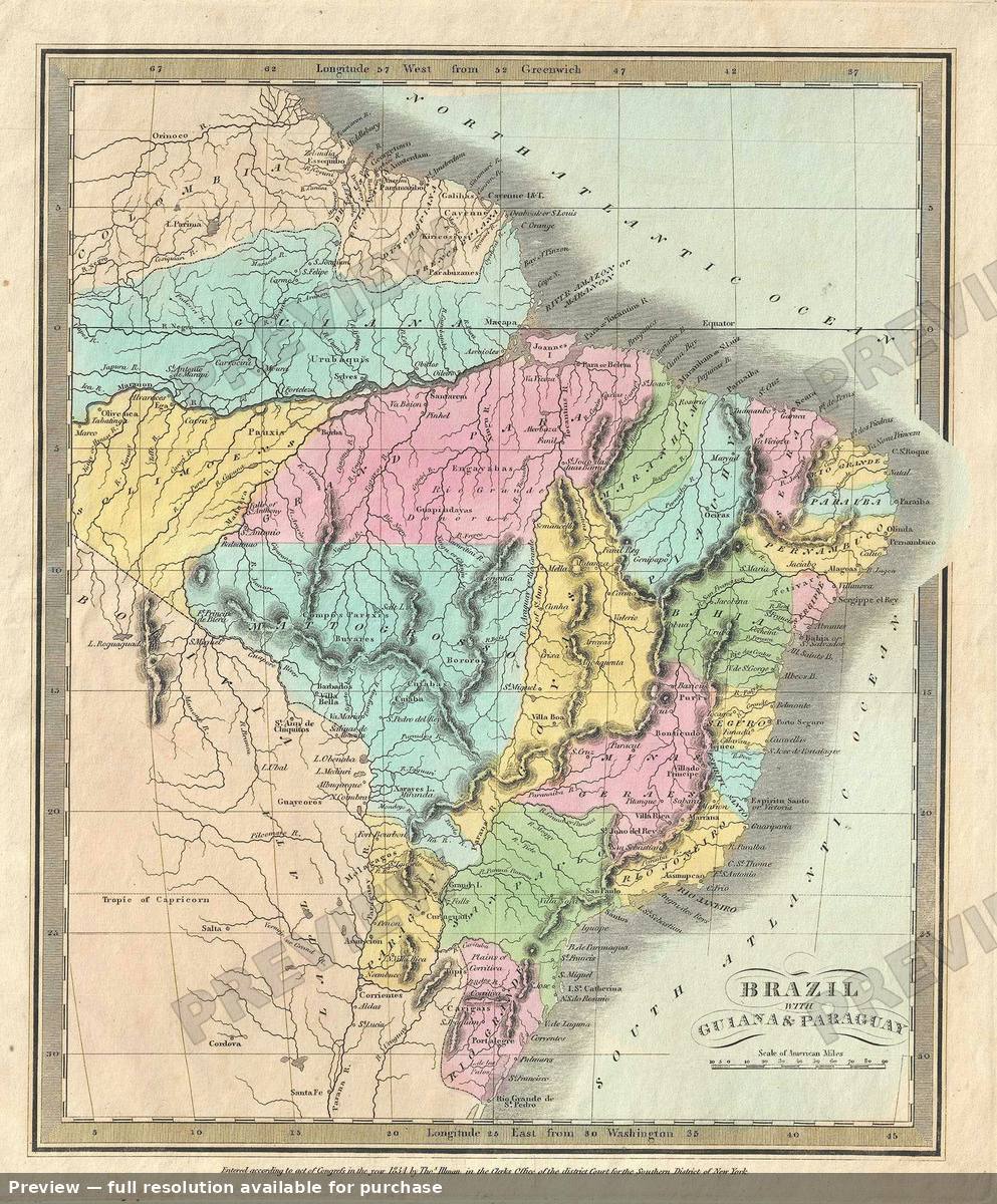 Brazil Guiana, 1835
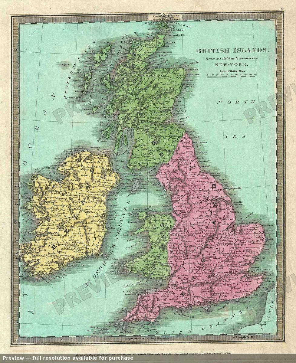 British Islands, 1835
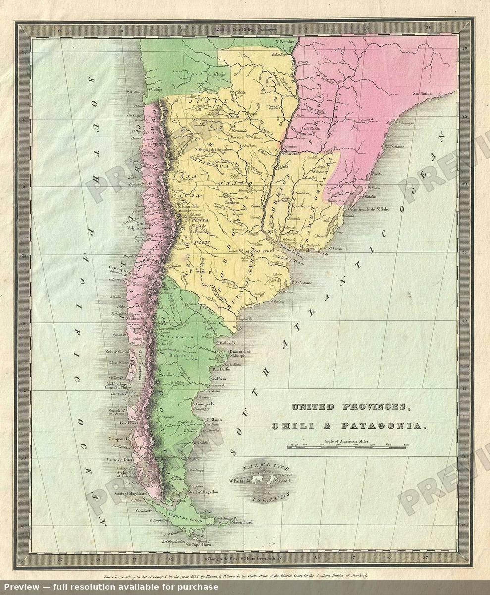 Chili Patagonia, 1835
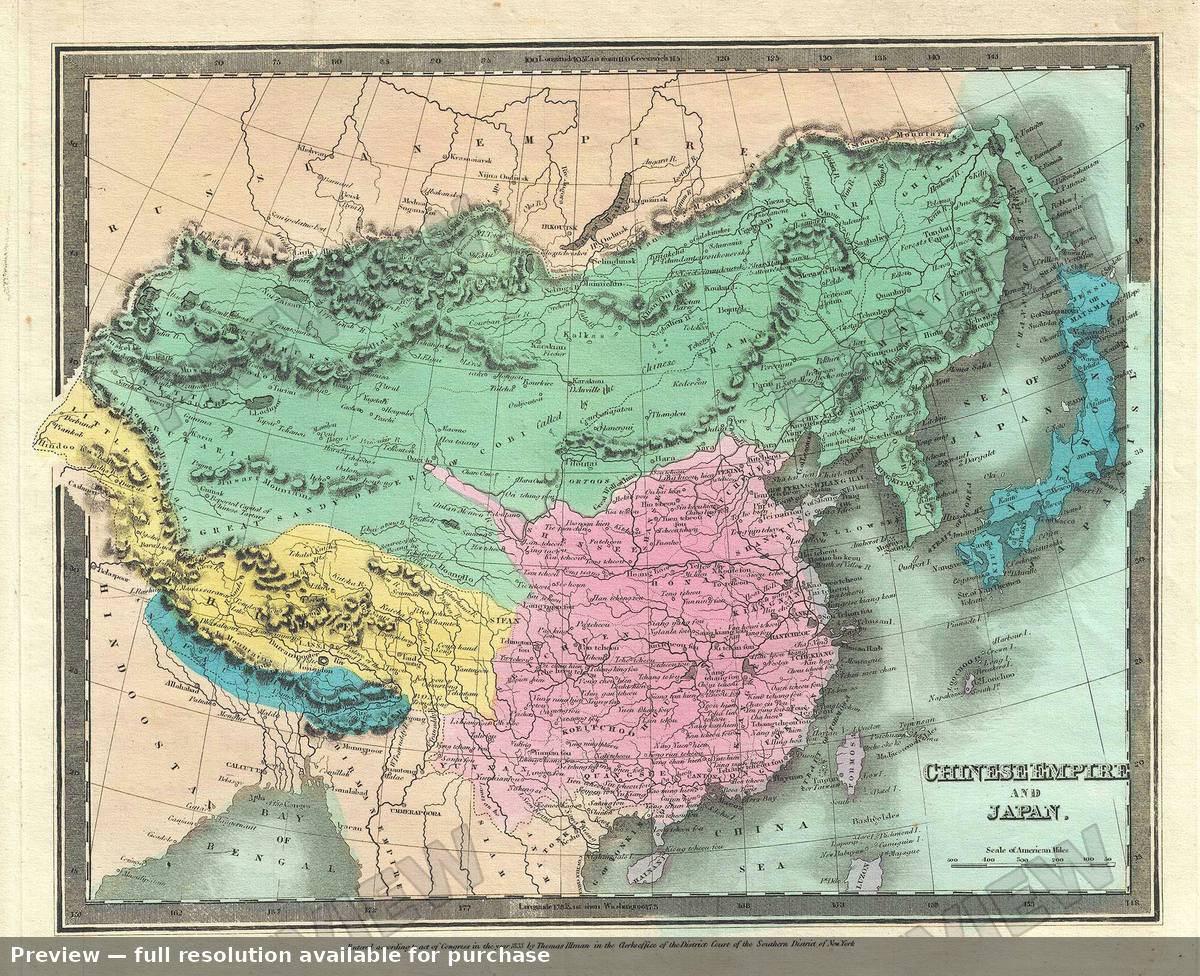 Chinese Empire Japan, 1835
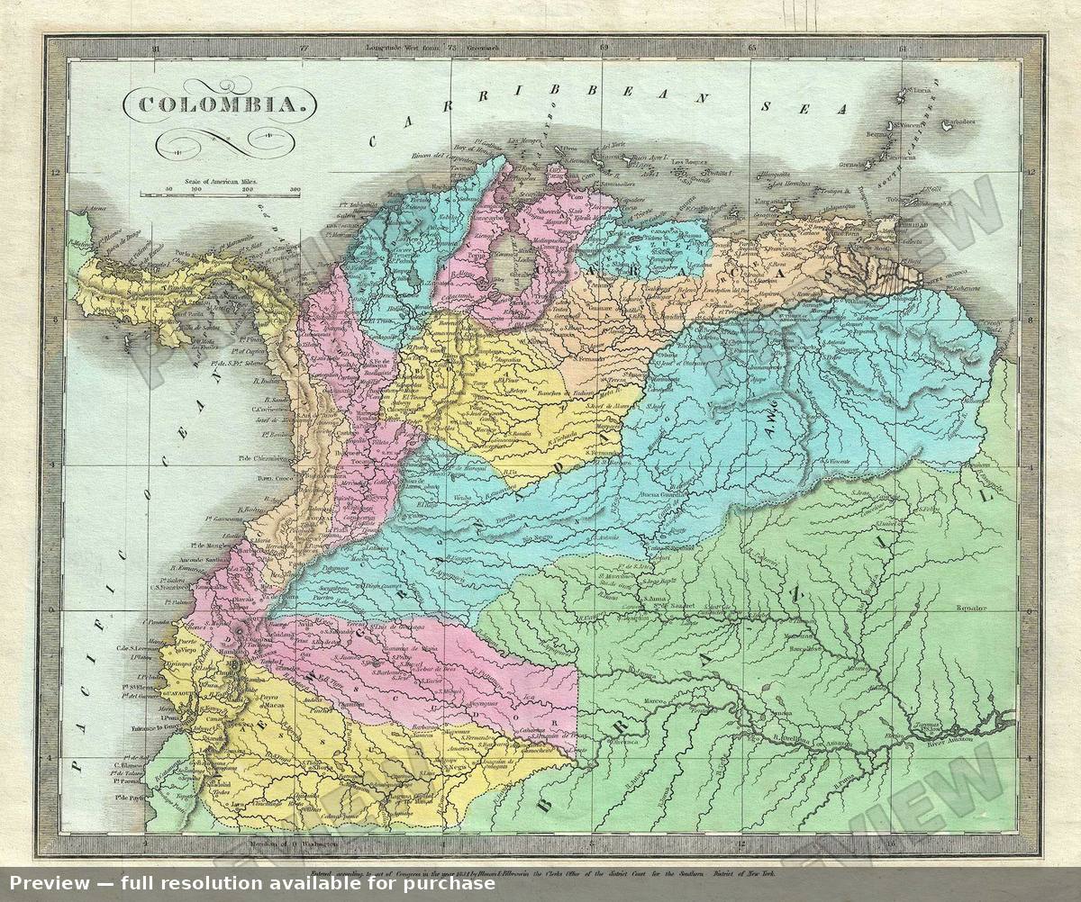 Colombia, 1835
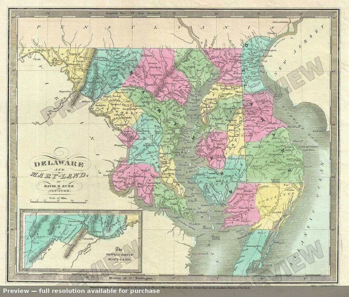 Delaware Maryland, 1835
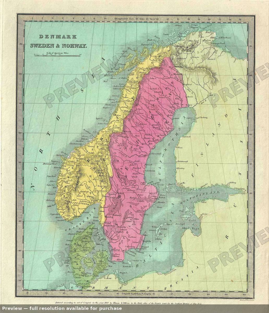 Denmark Sweden Norway, 1835
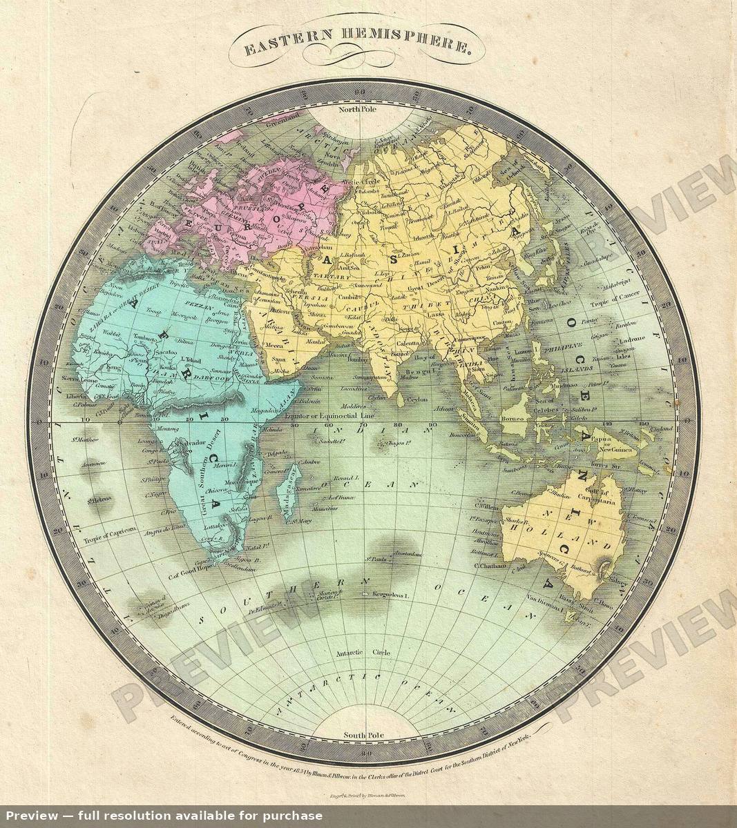 Eastern Hemisphere, 1835
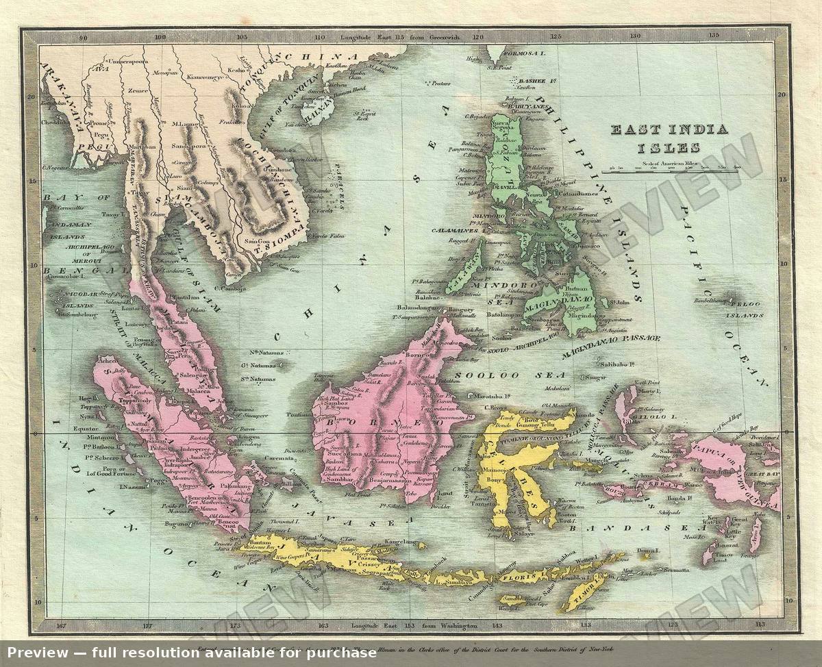 East India Isles, 1835
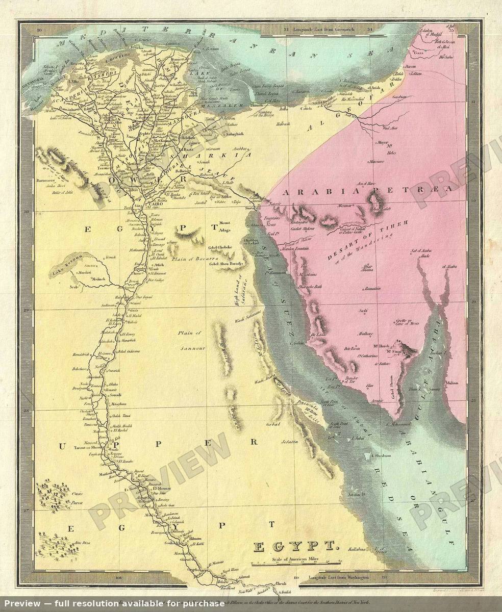 Egypt, 1835
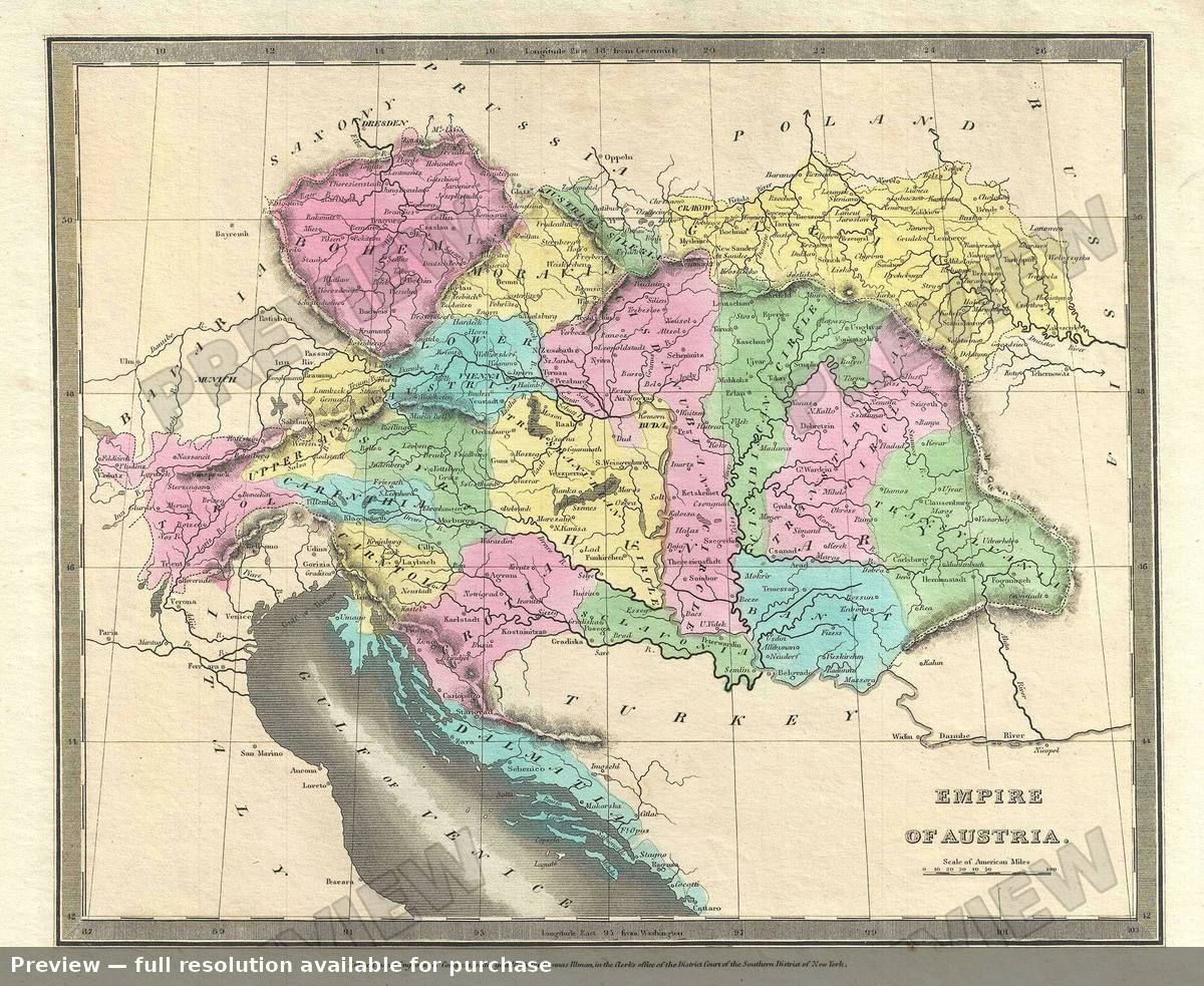 Empire Austria, 1835
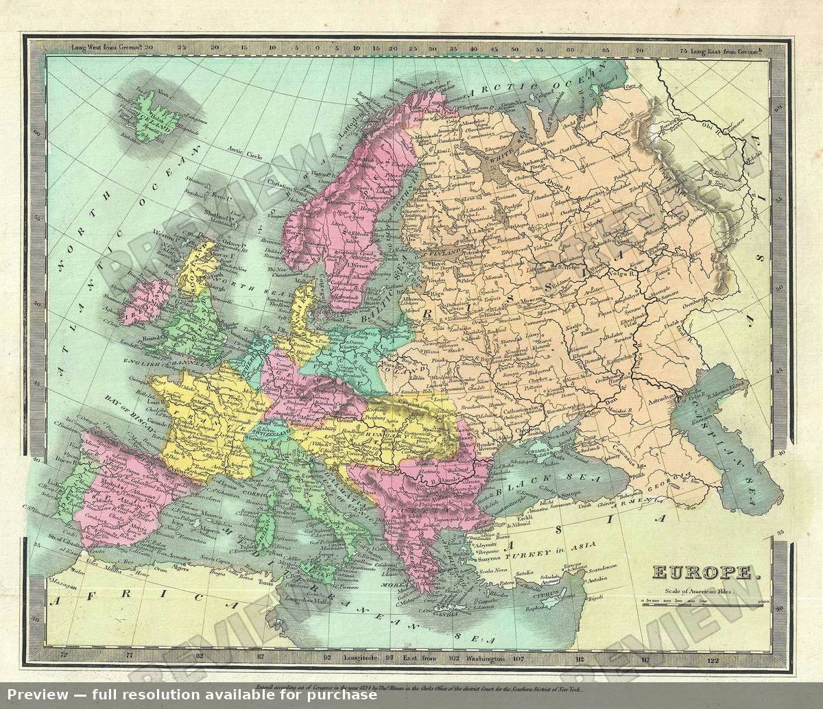 Europe, 1835
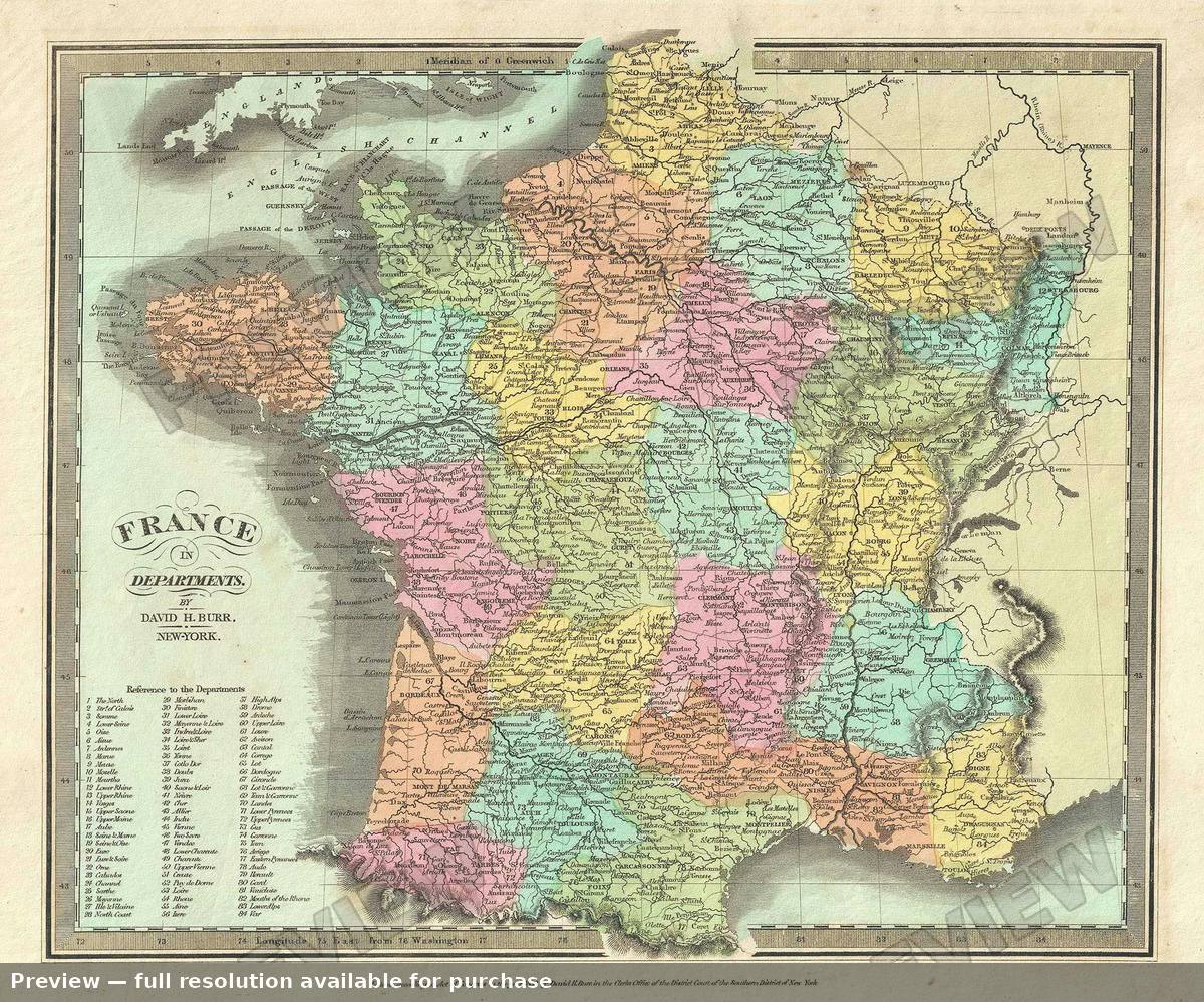 France, 1835
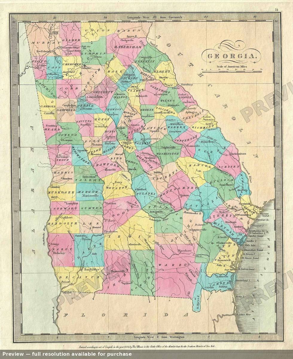 Georgia, 1835
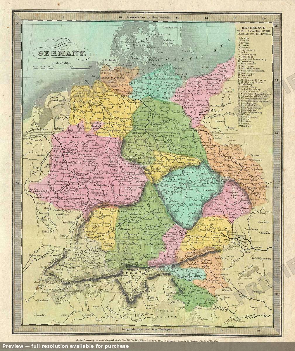 Germany, 1835
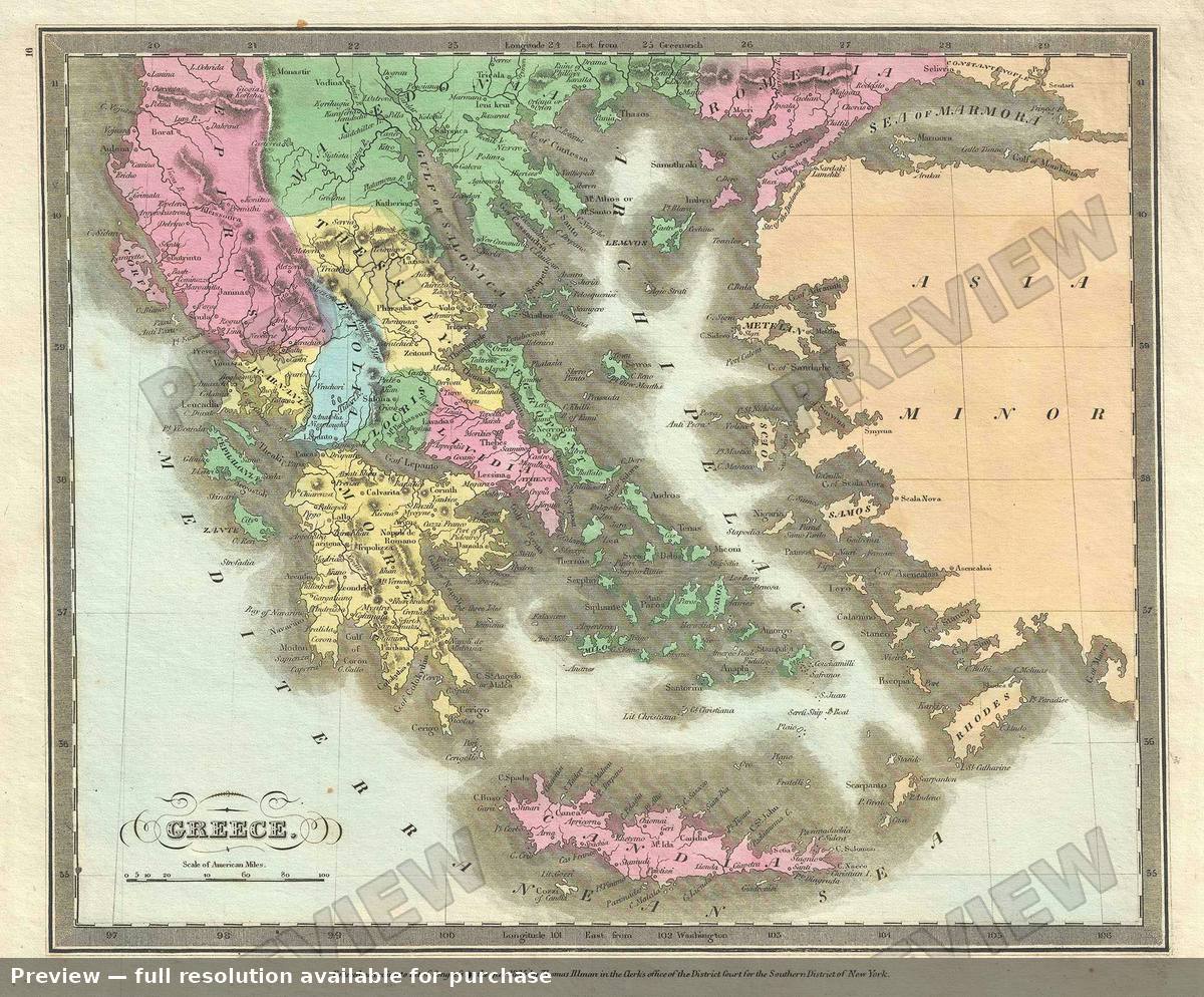 Greece, 1835
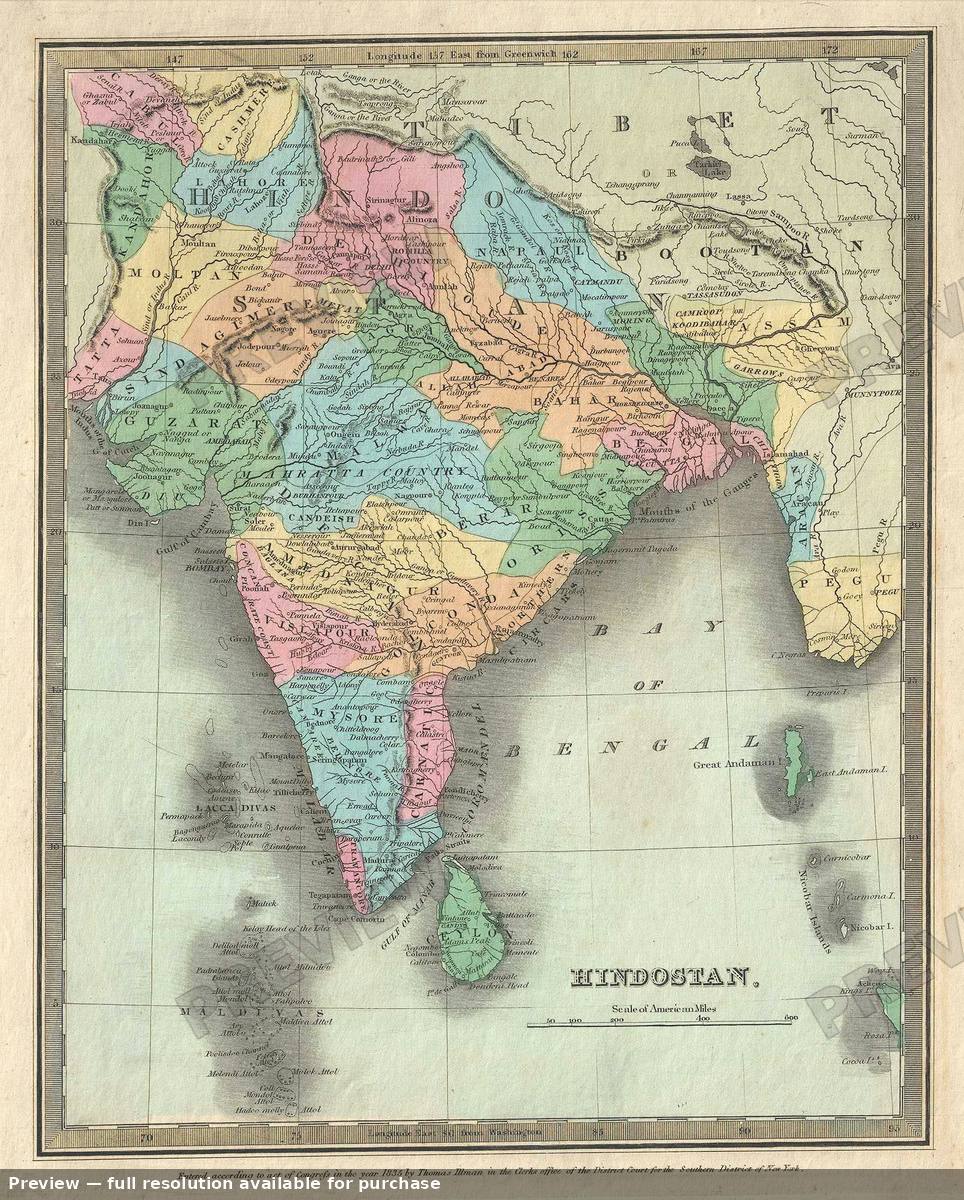 Hindostan, 1835
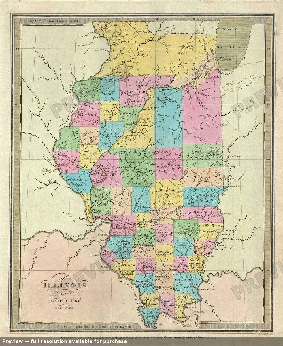 Illinois, 1835
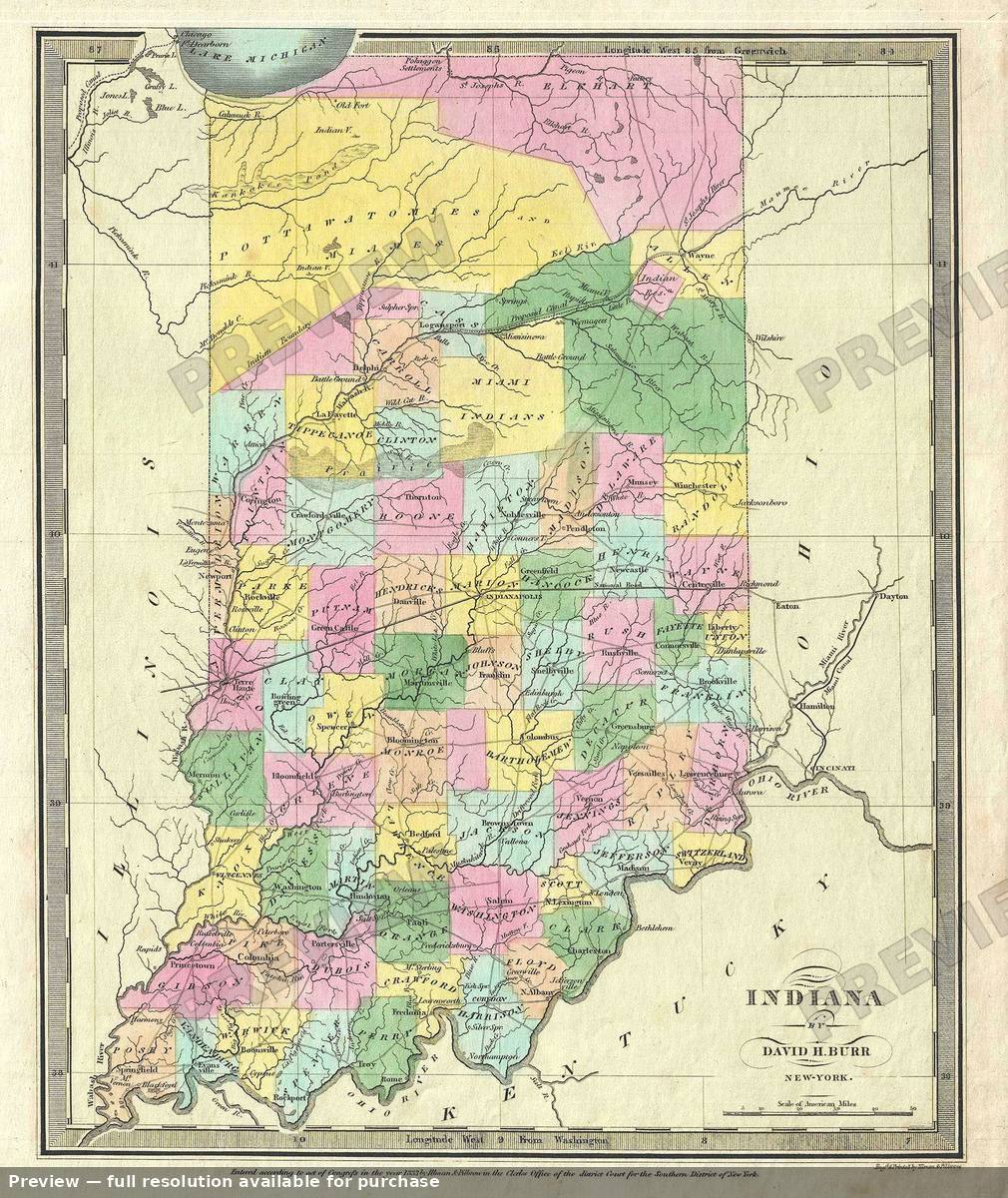 Indiana, 1835
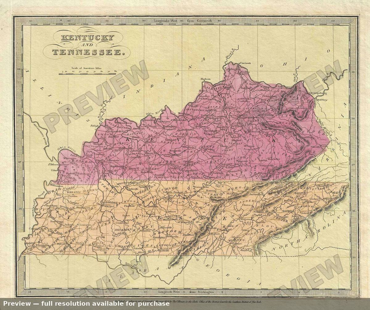 Kentucky Tennessee, 1835
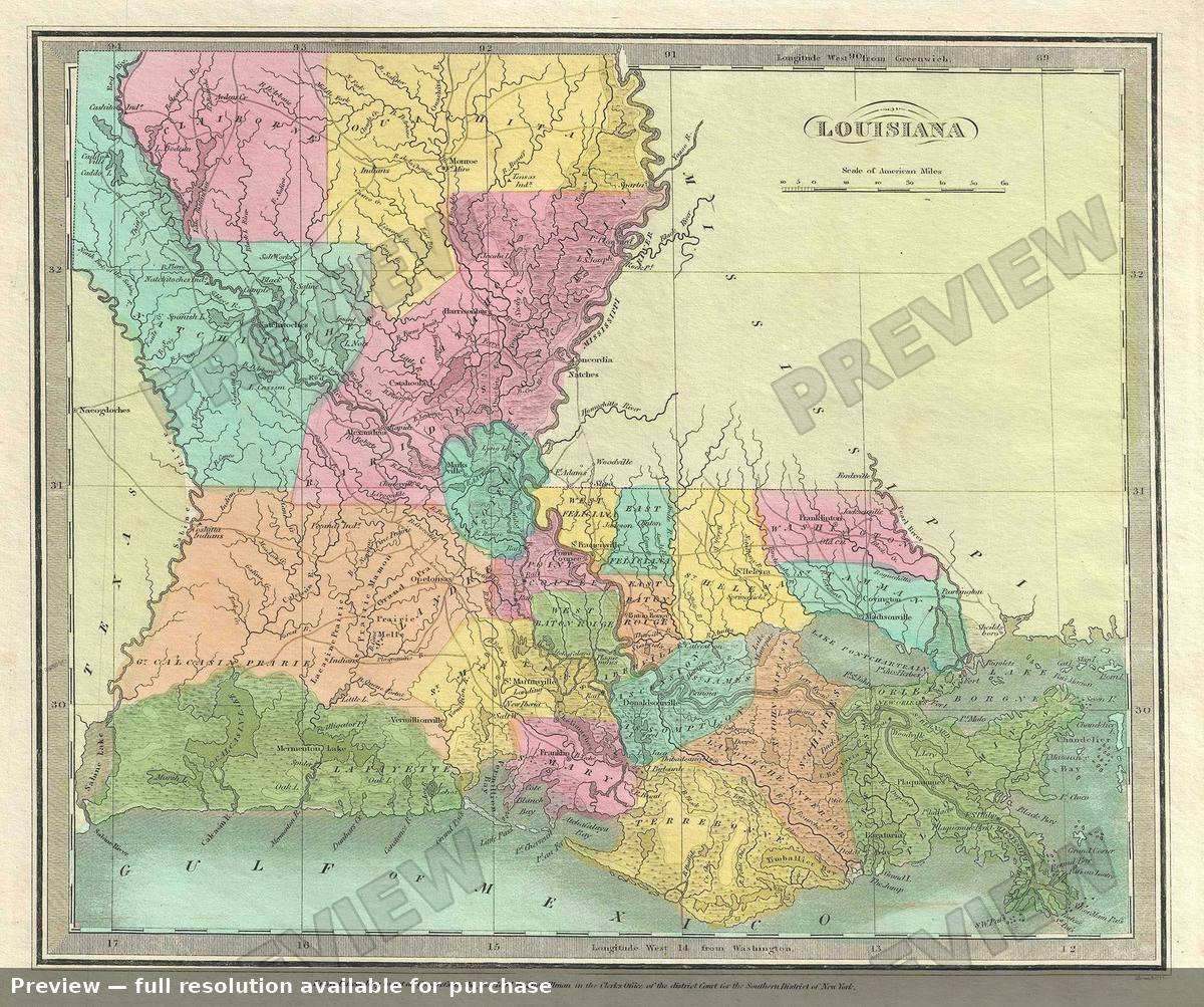 Louisiana, 1835
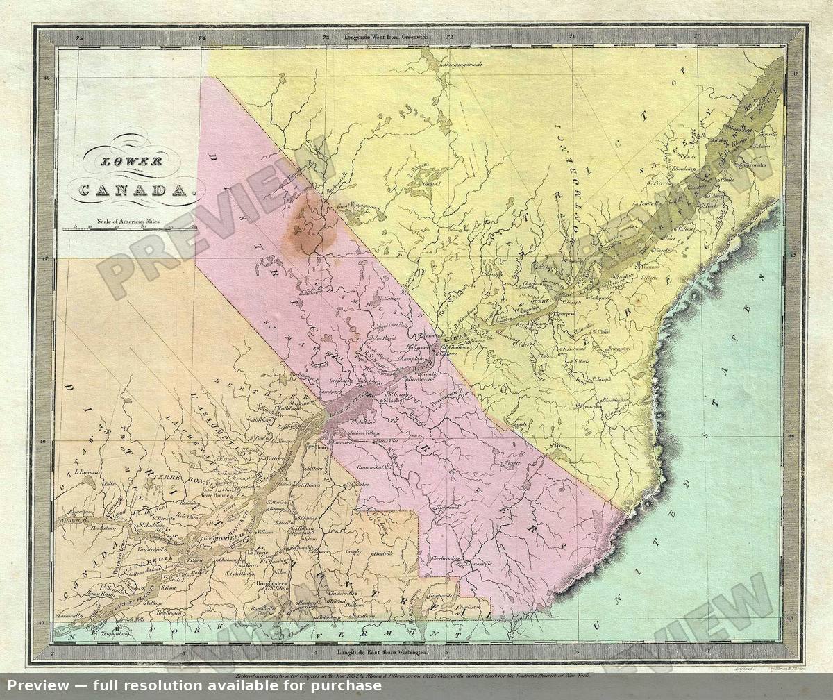 Lower Canada, 1835
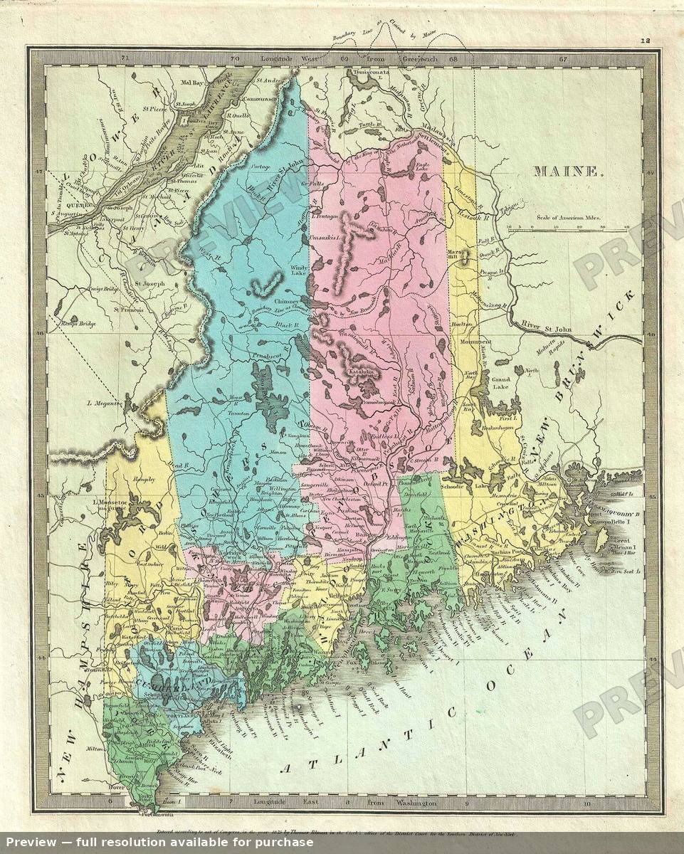 Maine, 1835
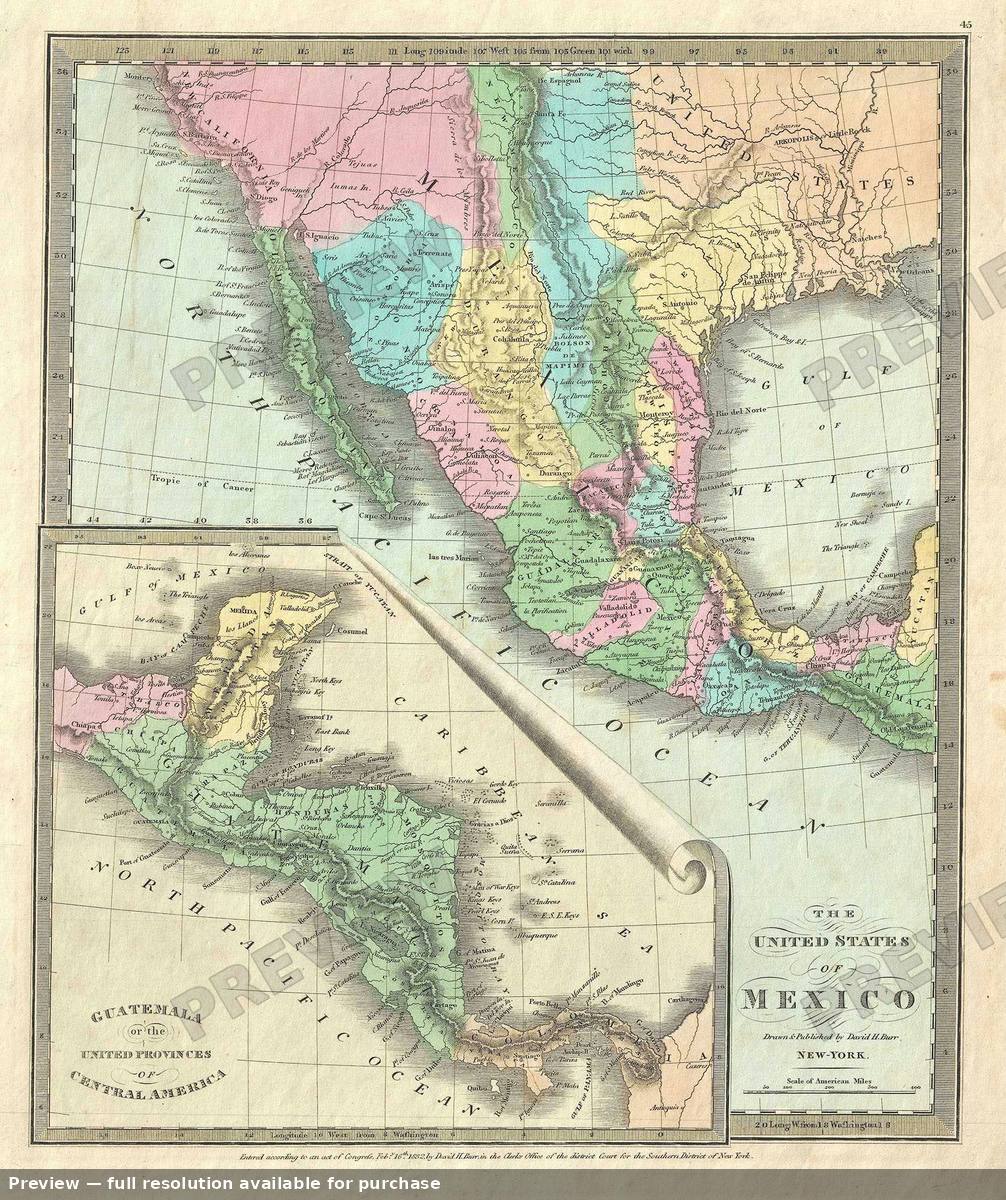 Mexico, 1835
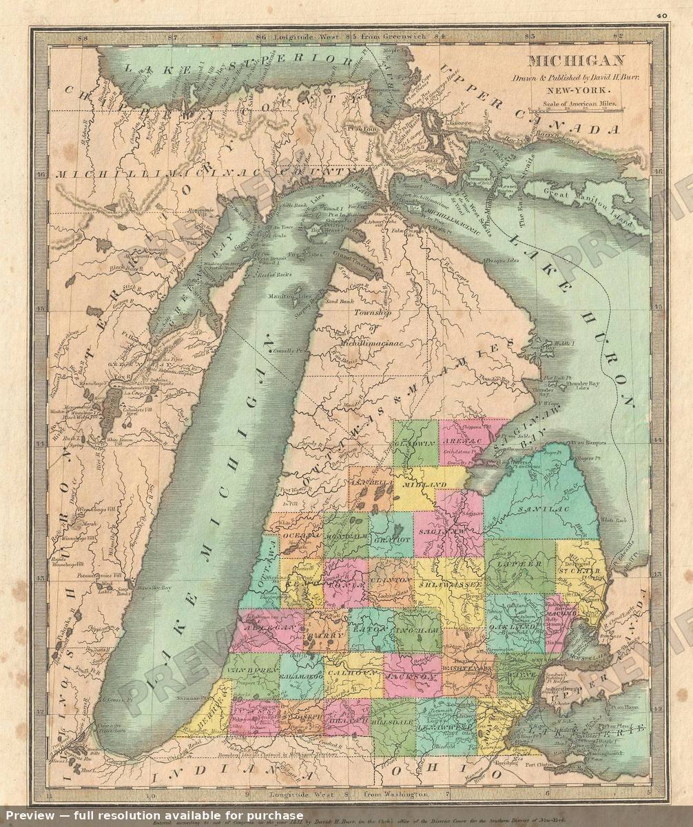 Michigan, 1835
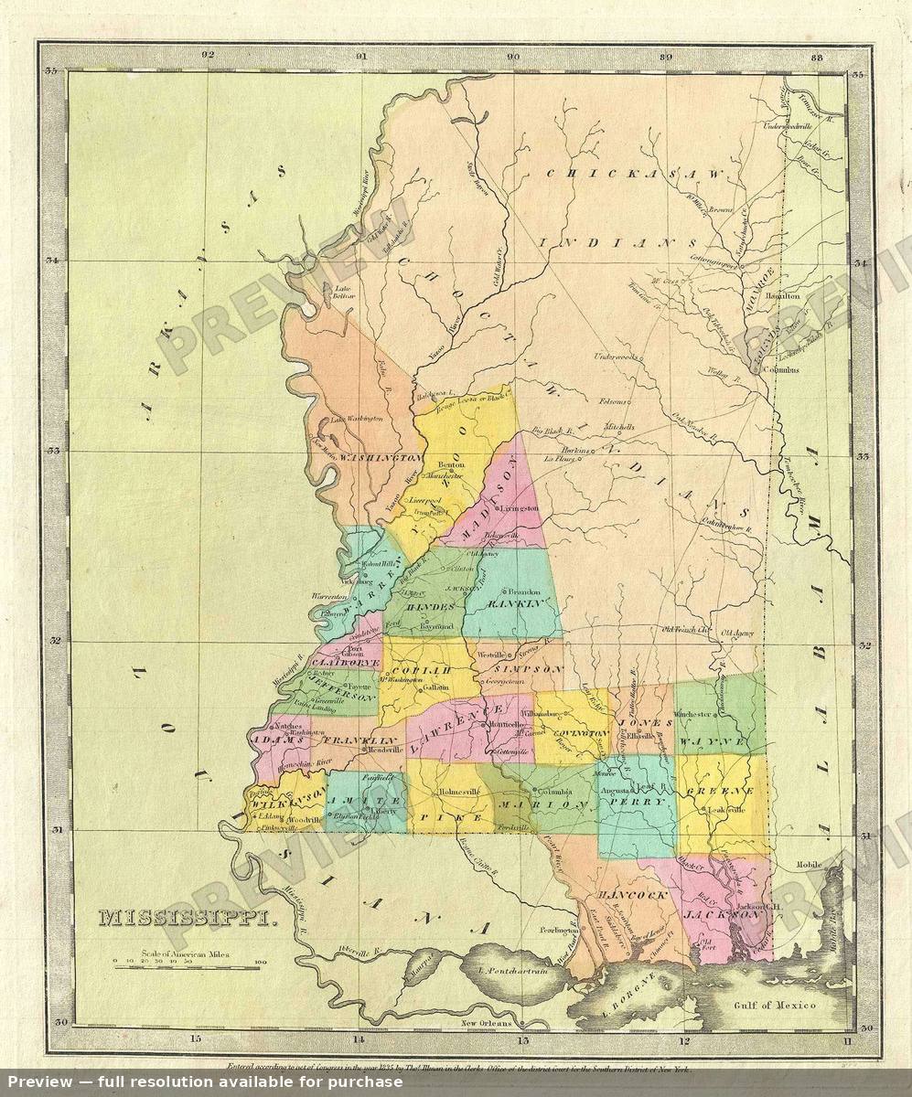 Mississippi, 1835
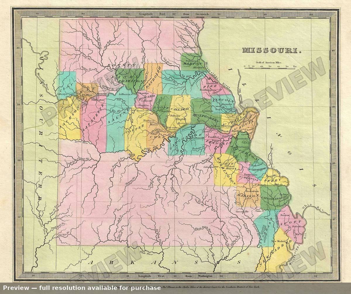 Missouri, 1835
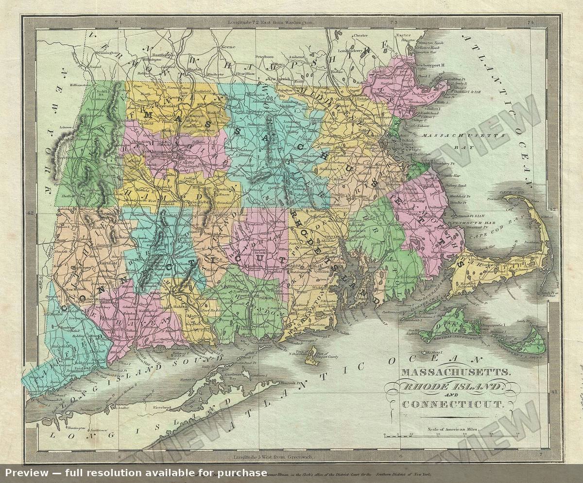 New England, 1835
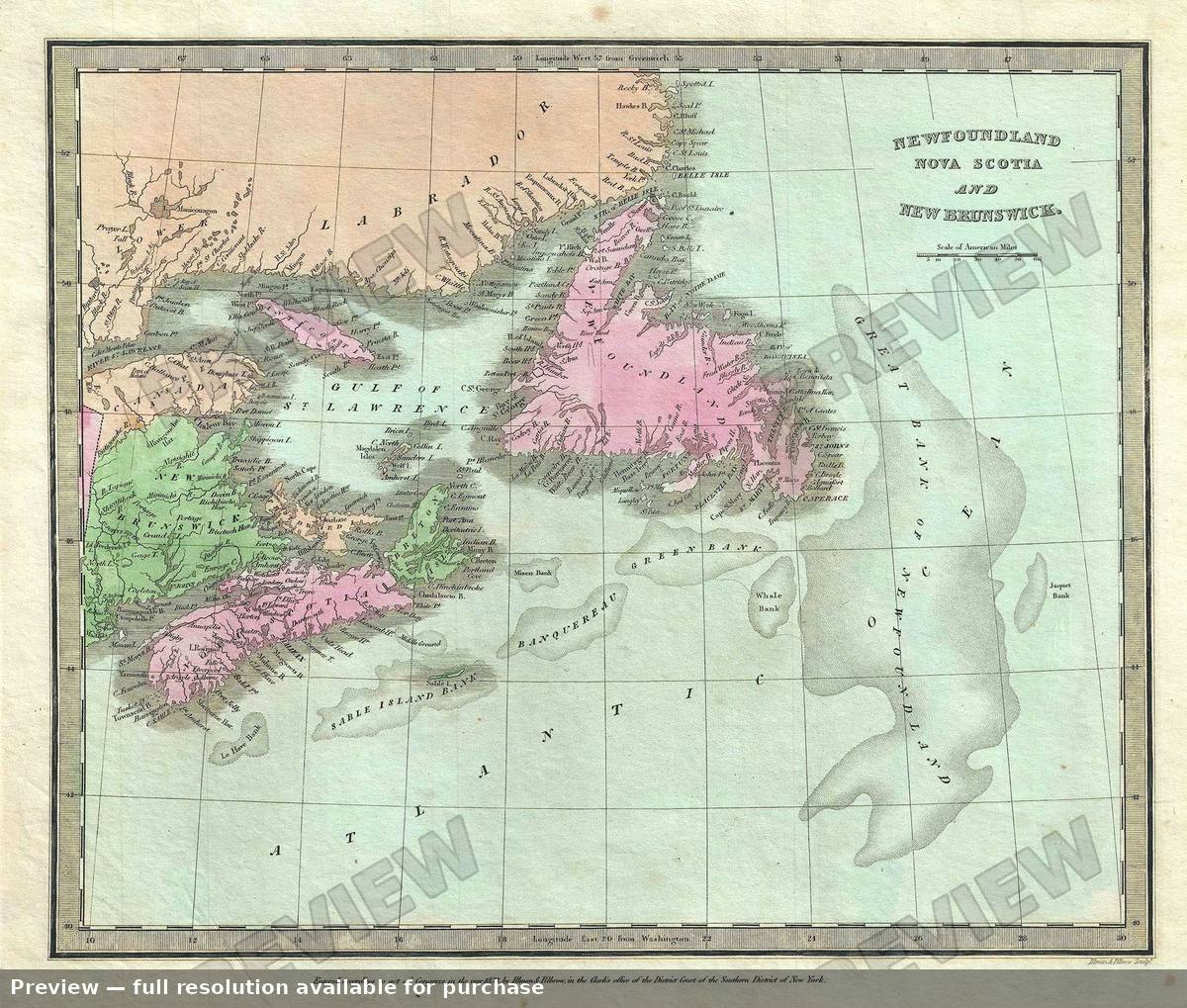 Newfoundland, 1835
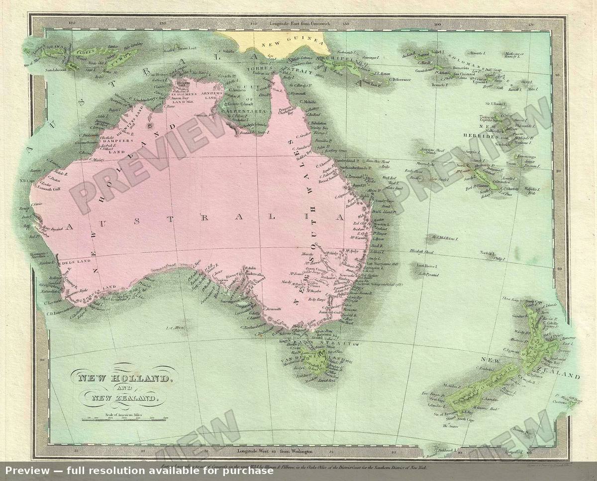 New Holland, 1835
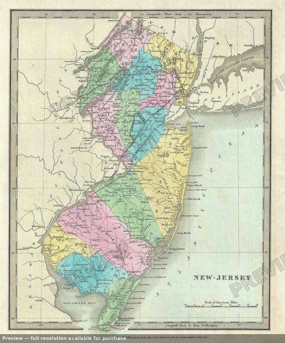 New Jersey, 1835
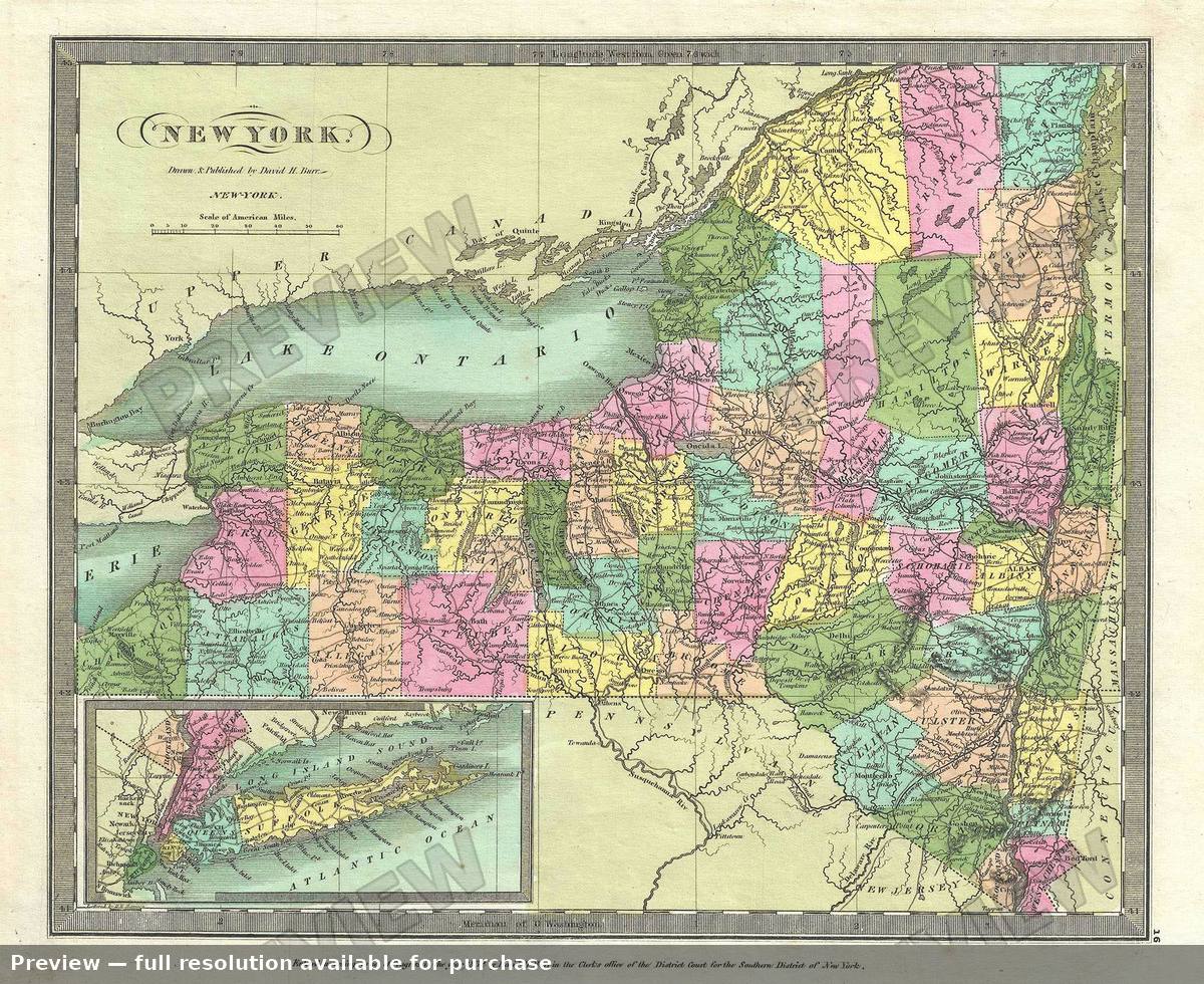 New York, 1835
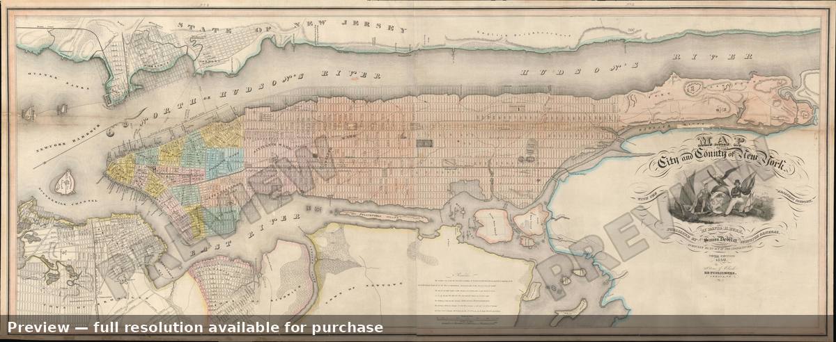 New York, 1839
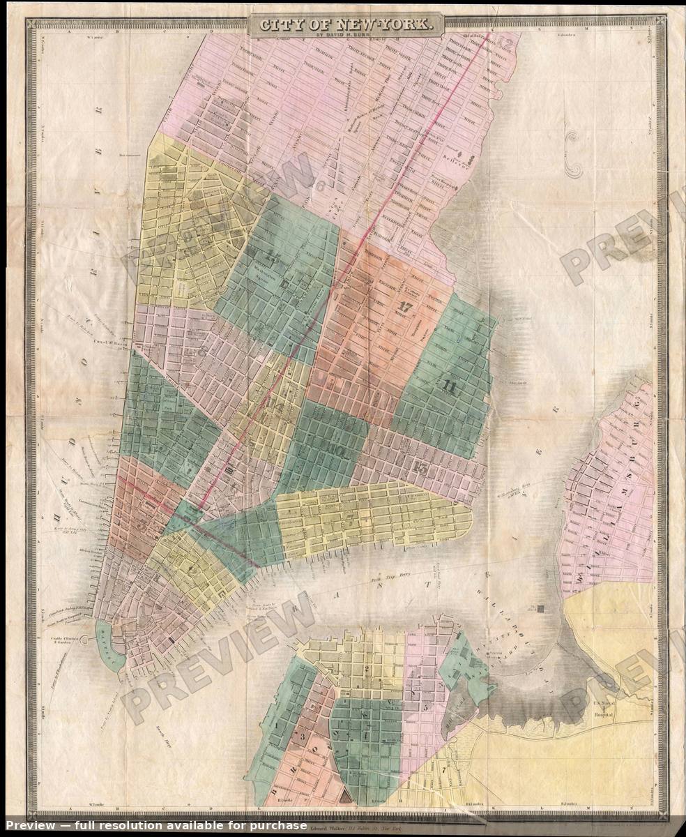 New York City, 1836
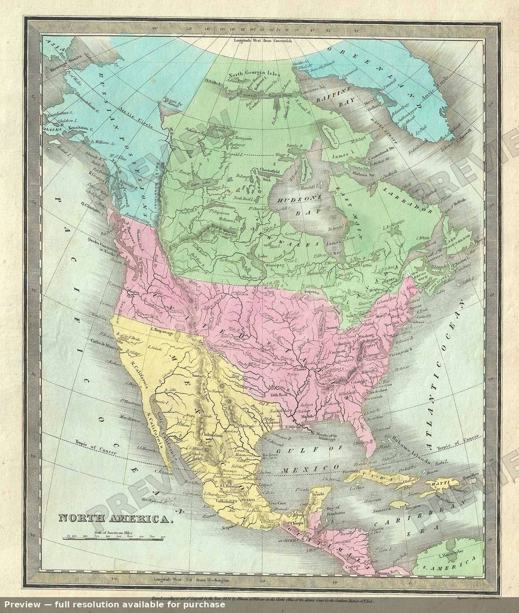 North America, 1835
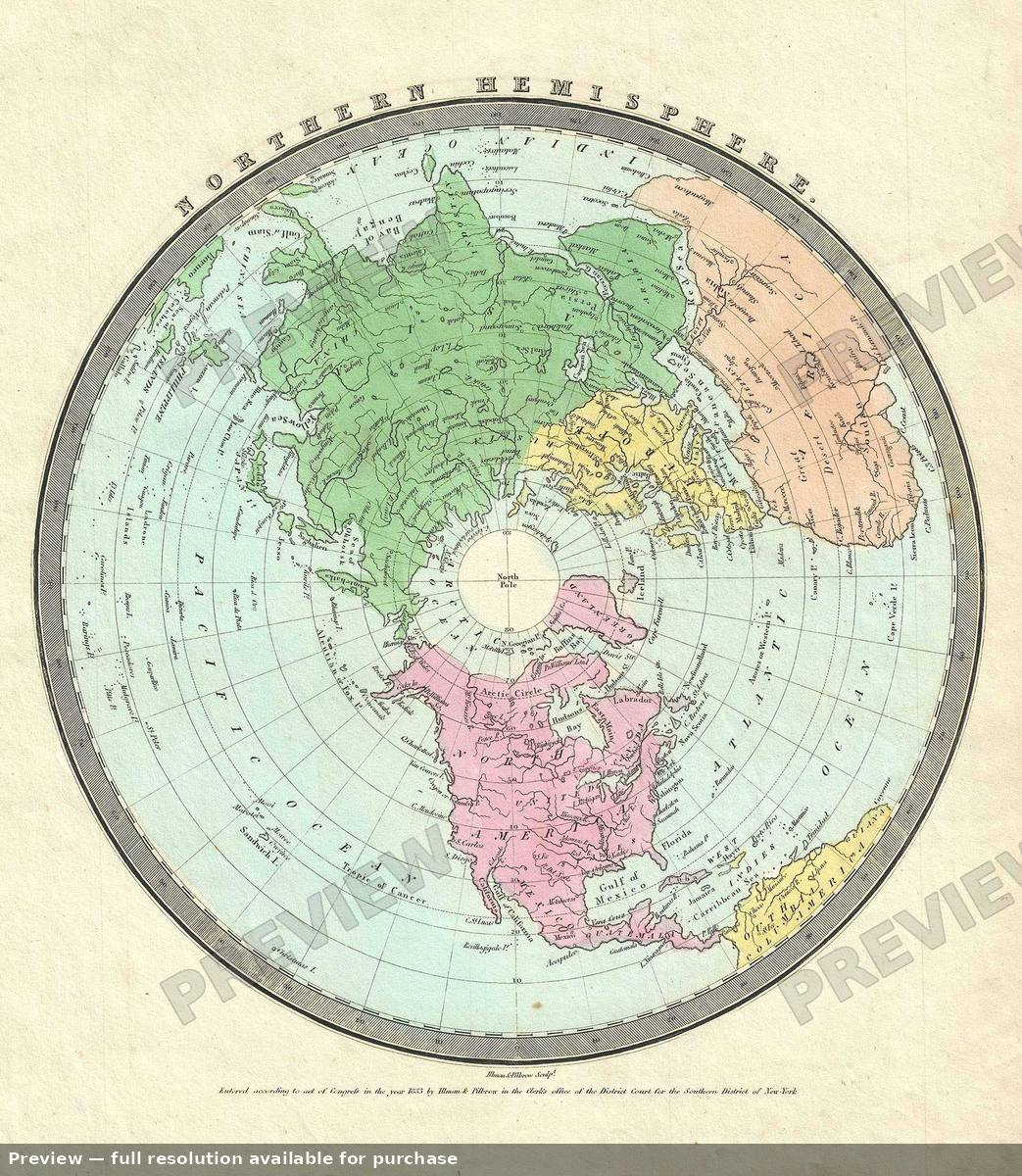 Northern Hemisphere, 1835
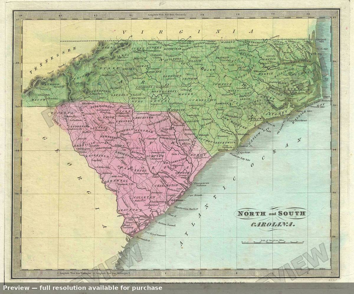 North South Carolina, 1835
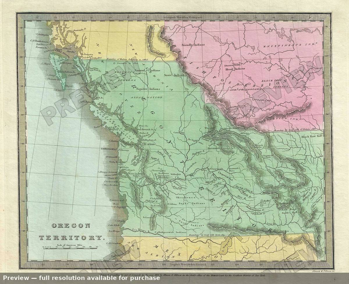 Oregon Territory, 1835
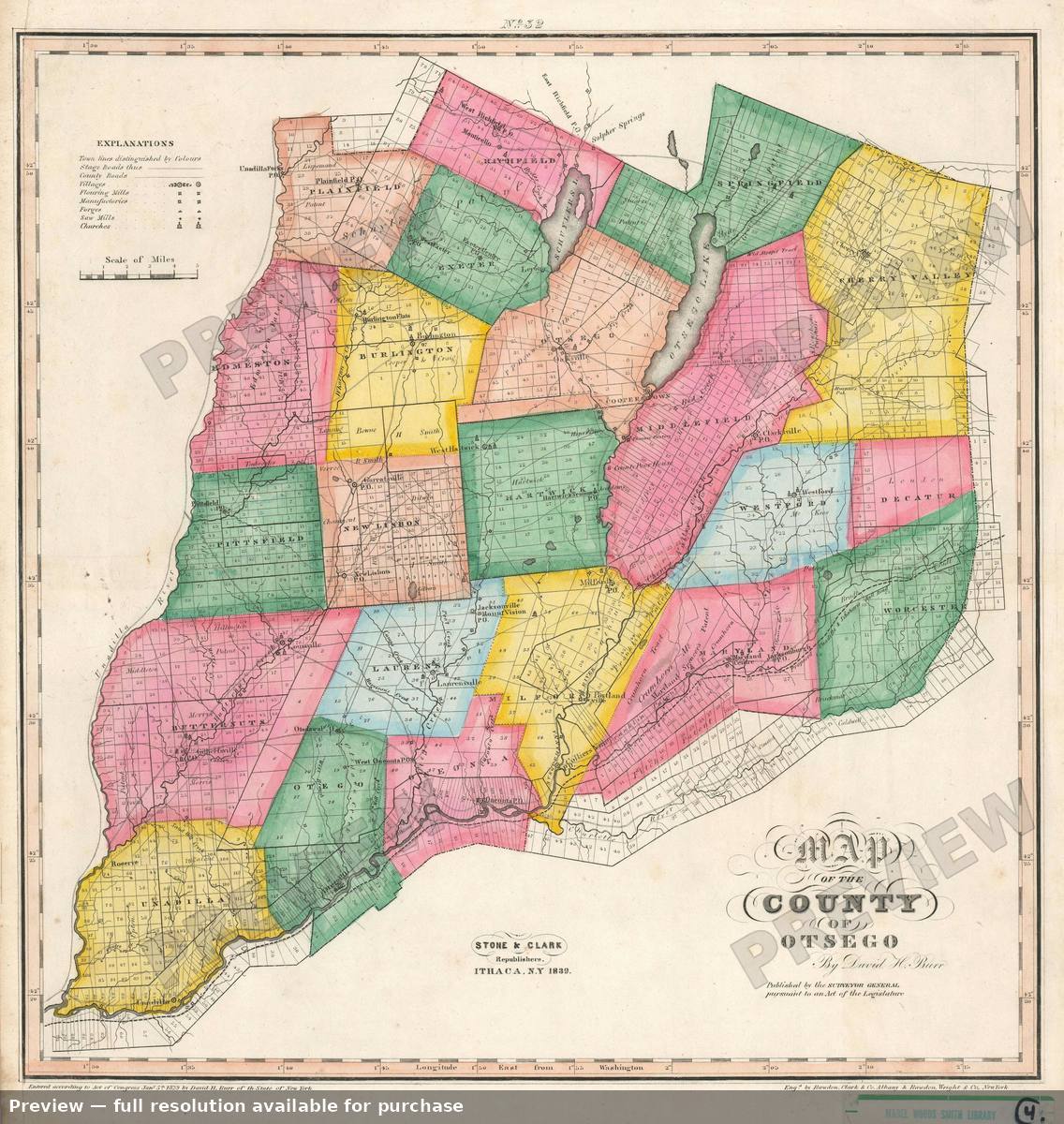 Otsego County, 1839
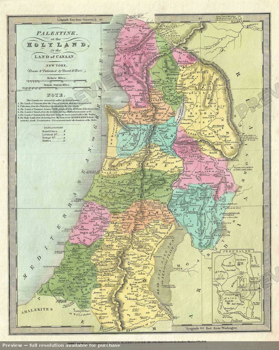 Palestine, 1835
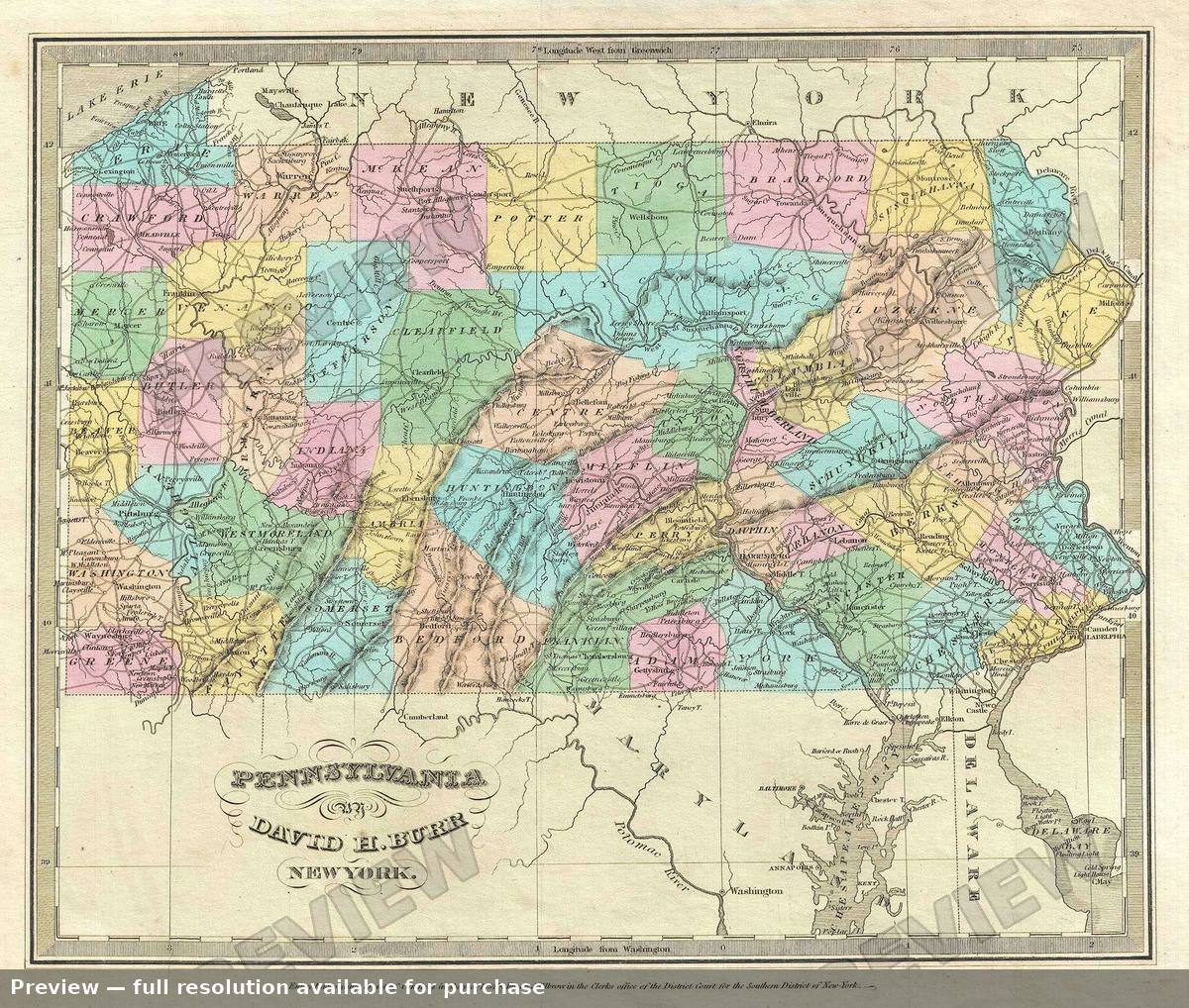 Pennsylvania, 1835
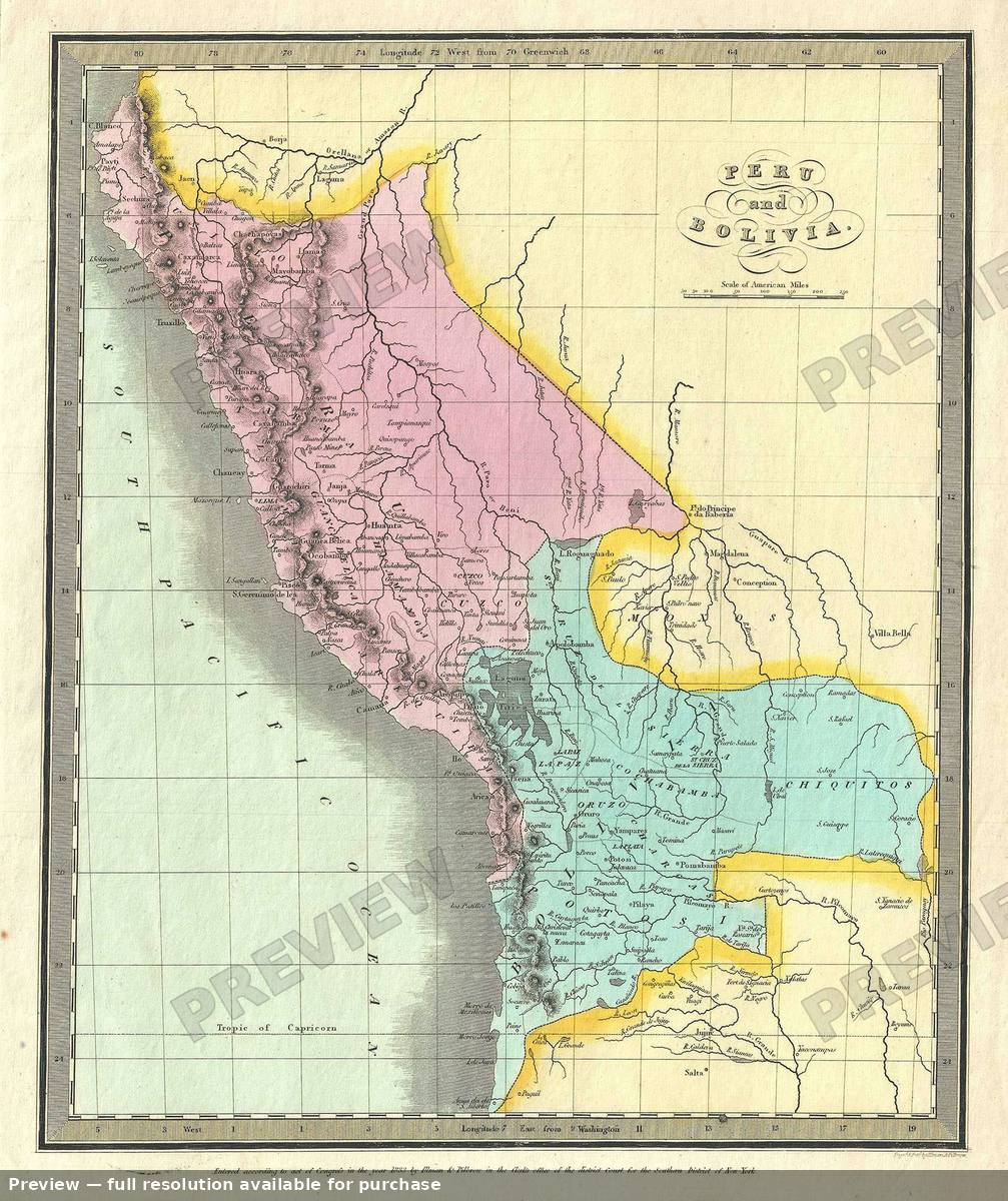 Peru Bolivia, 1835
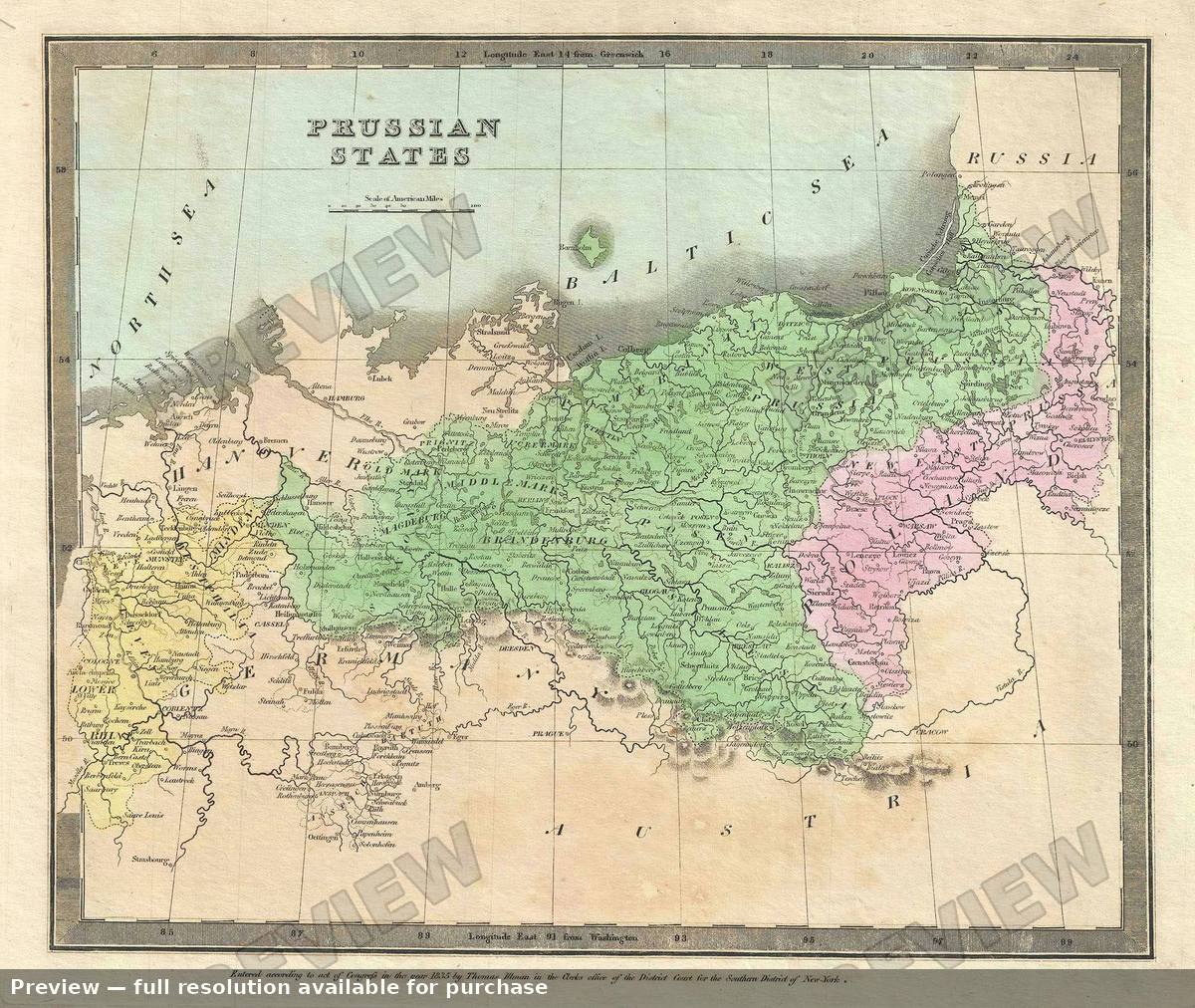 Prussian States, 1835
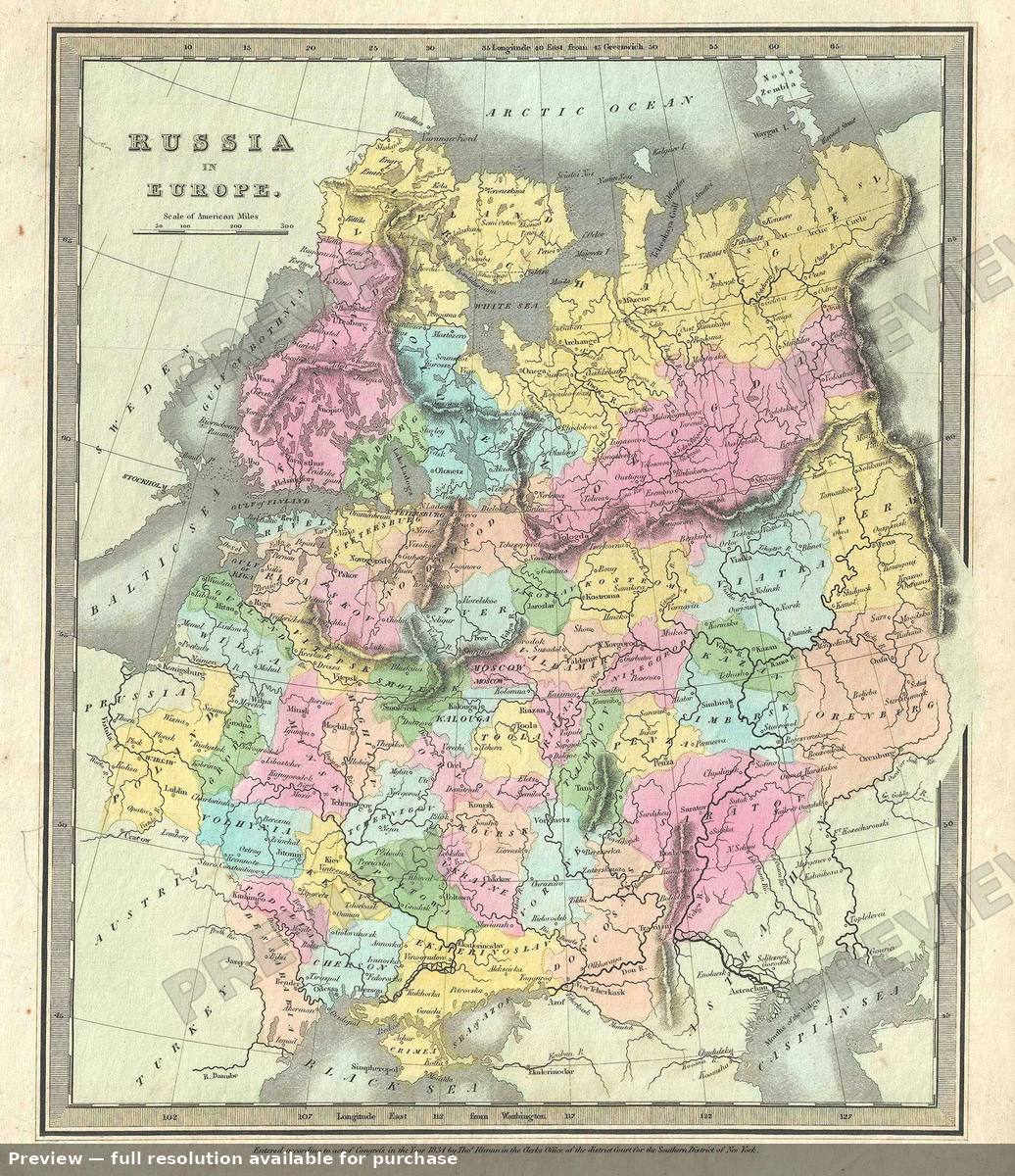 Russia Europe, 1835
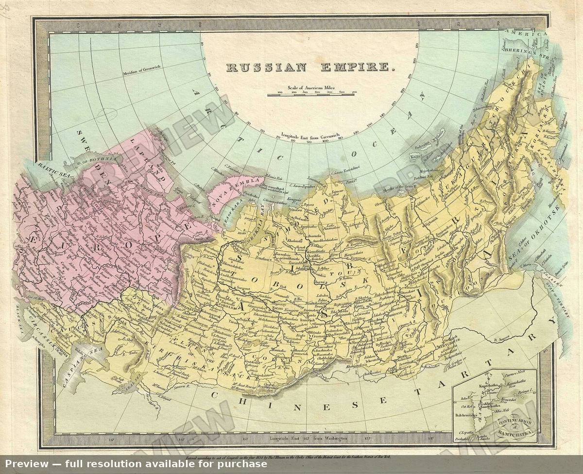 Russian Empire, 1835
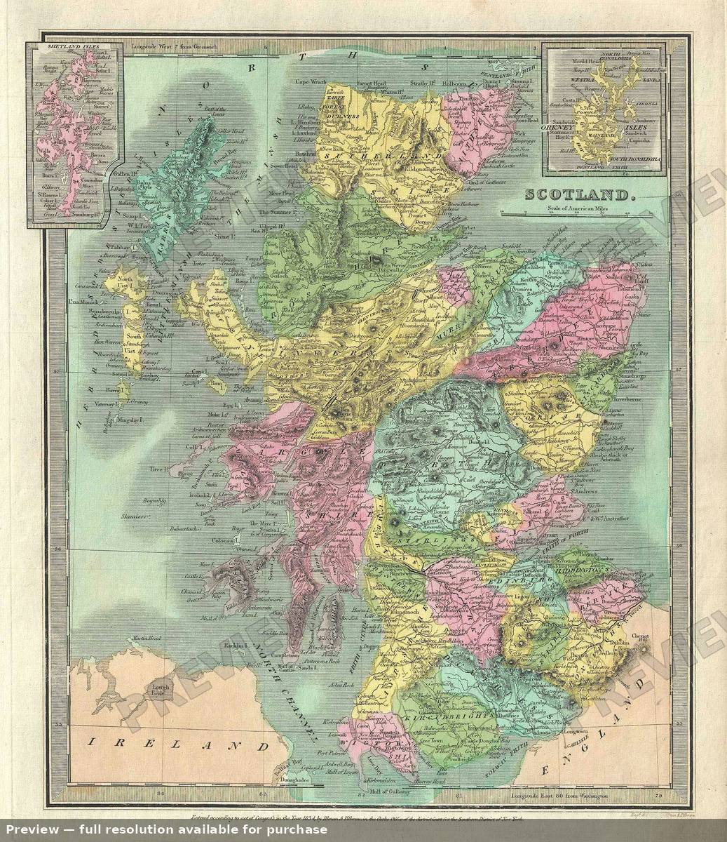 Scotland, 1835
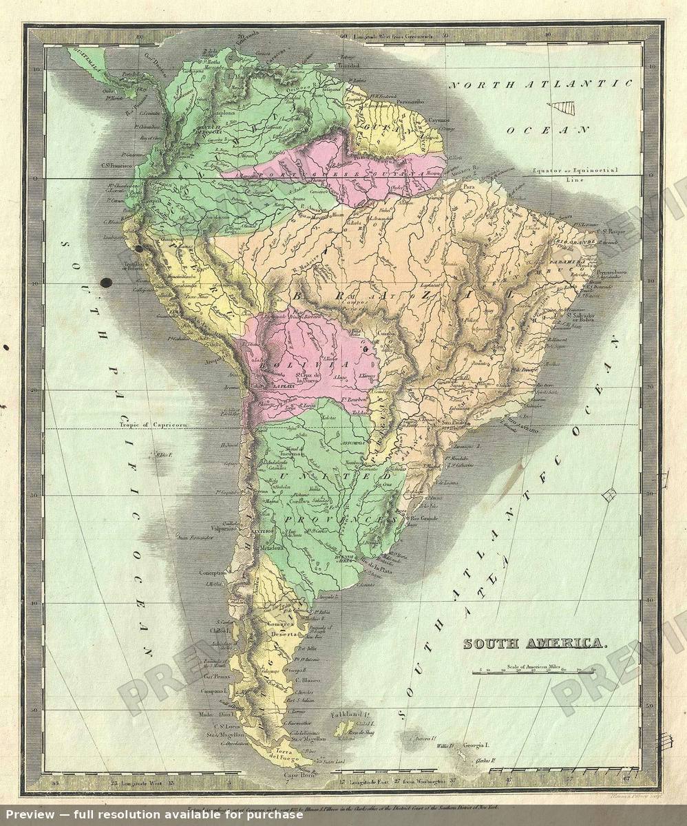 South America, 1835
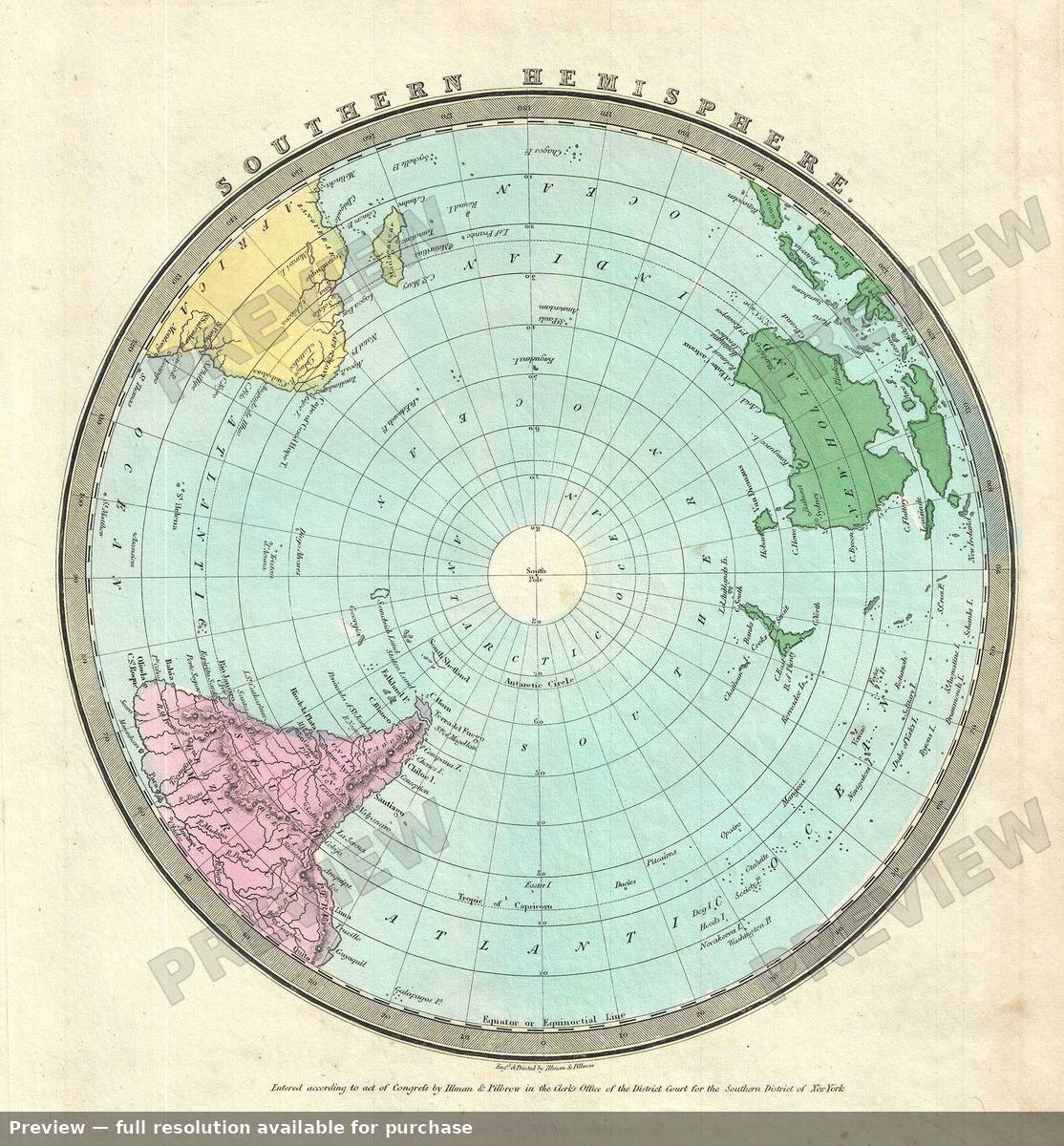 Southern Hemisphere, 1835
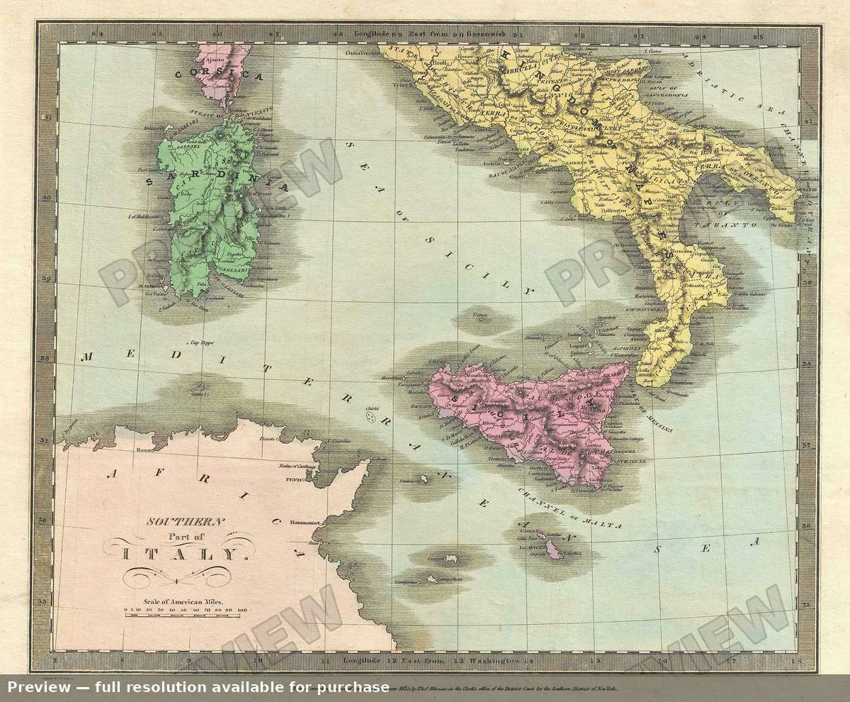 Southern Italy, 1835
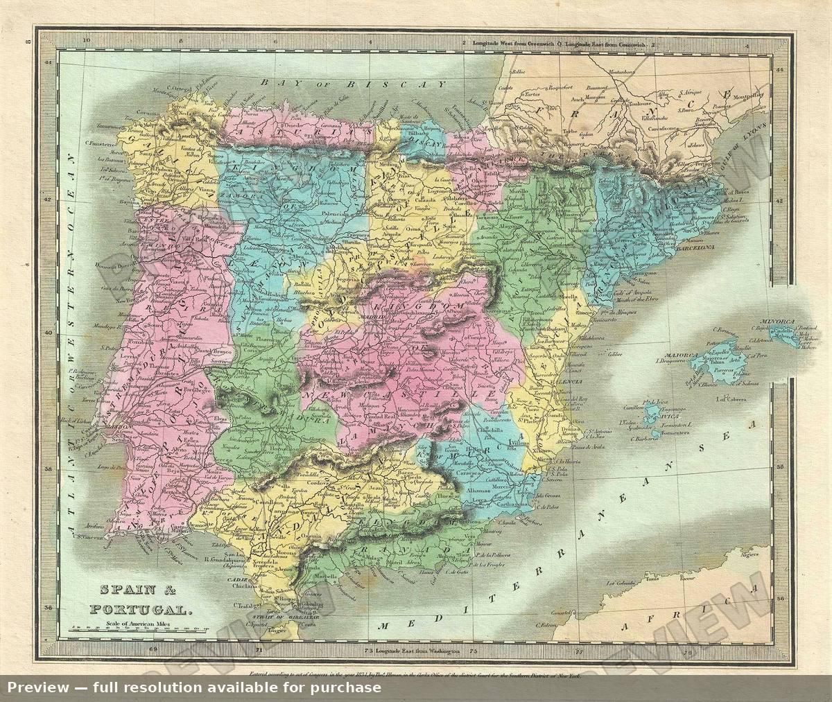 Spain Portugal, 1835
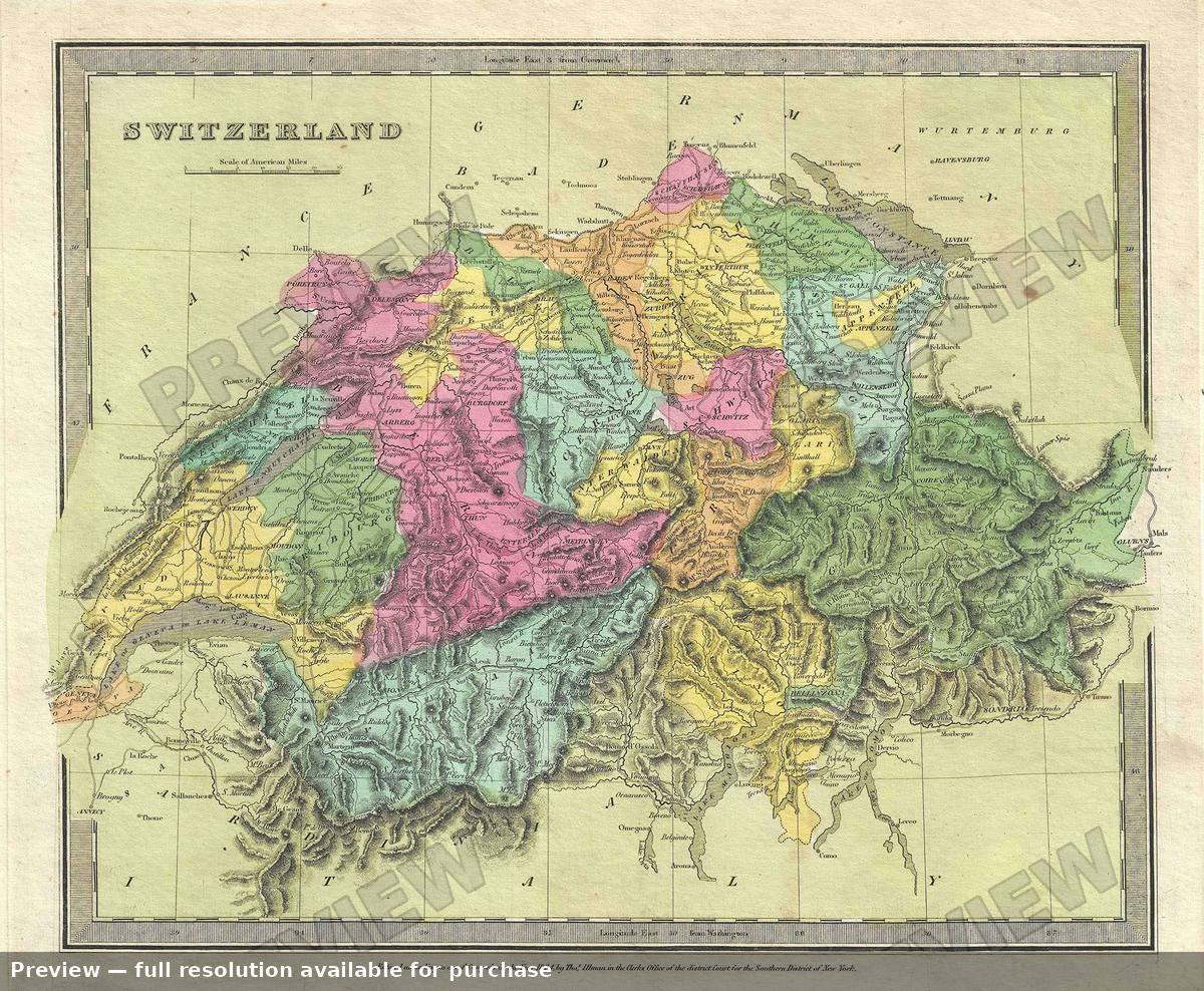 Switzerland, 1835
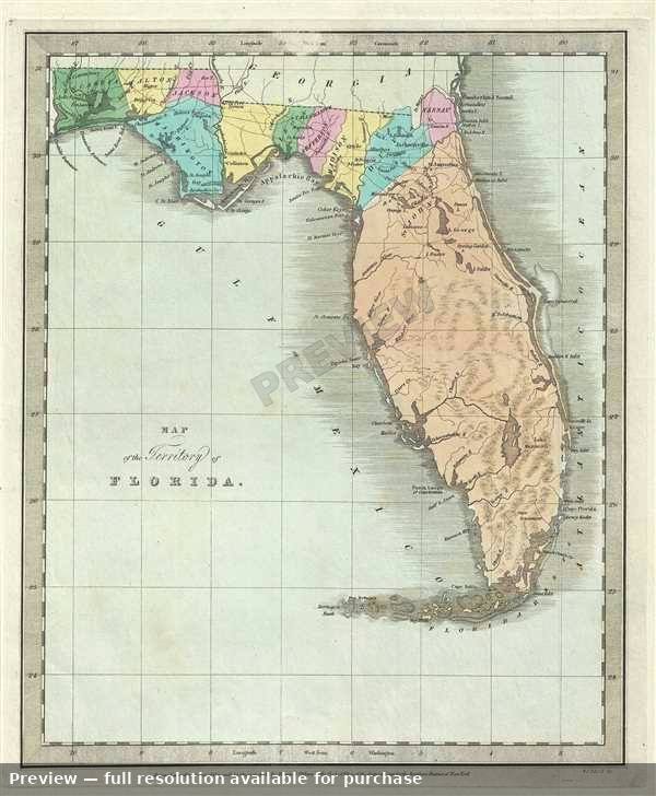 Territory Florida, 1835
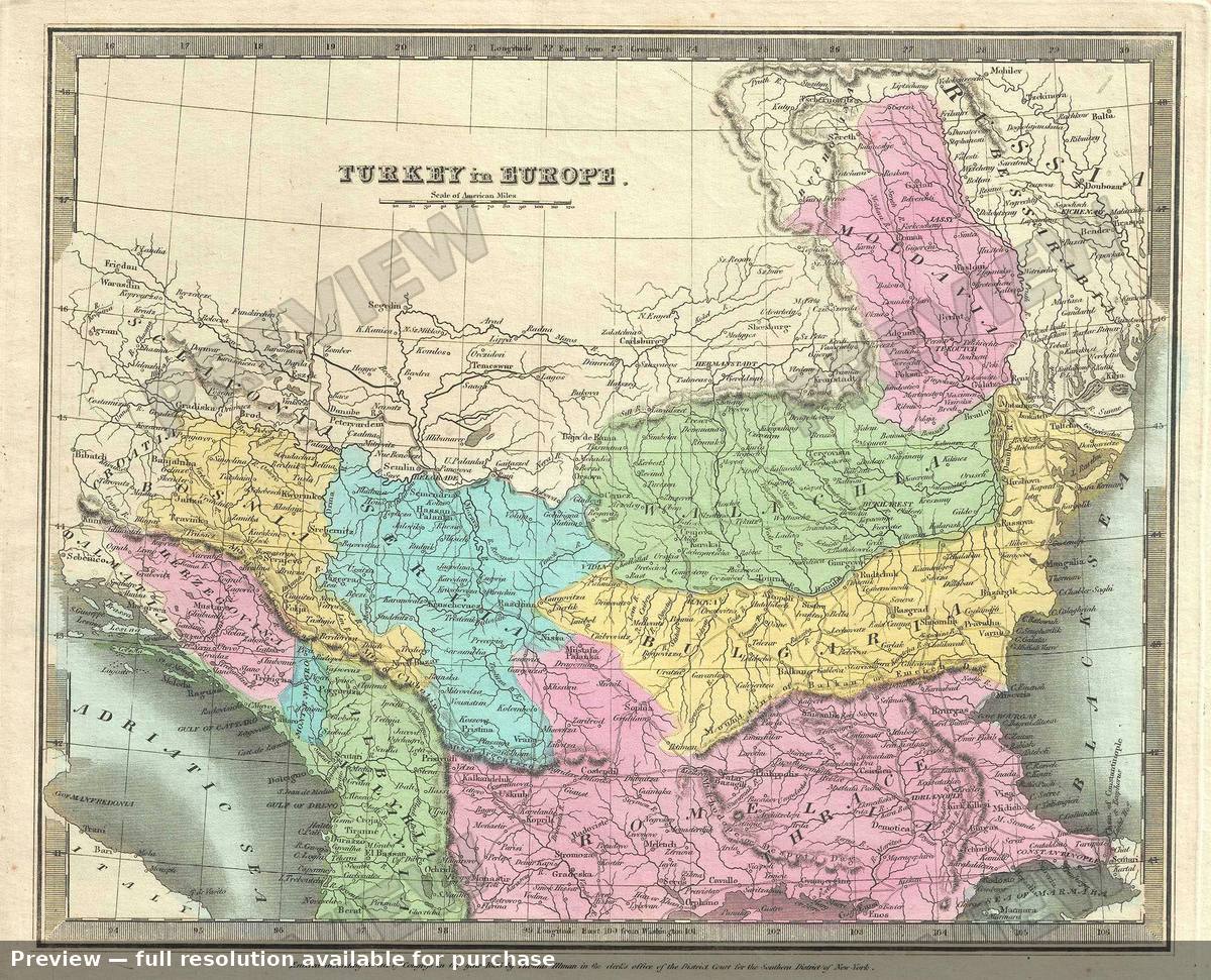 Turkey Europe, 1835
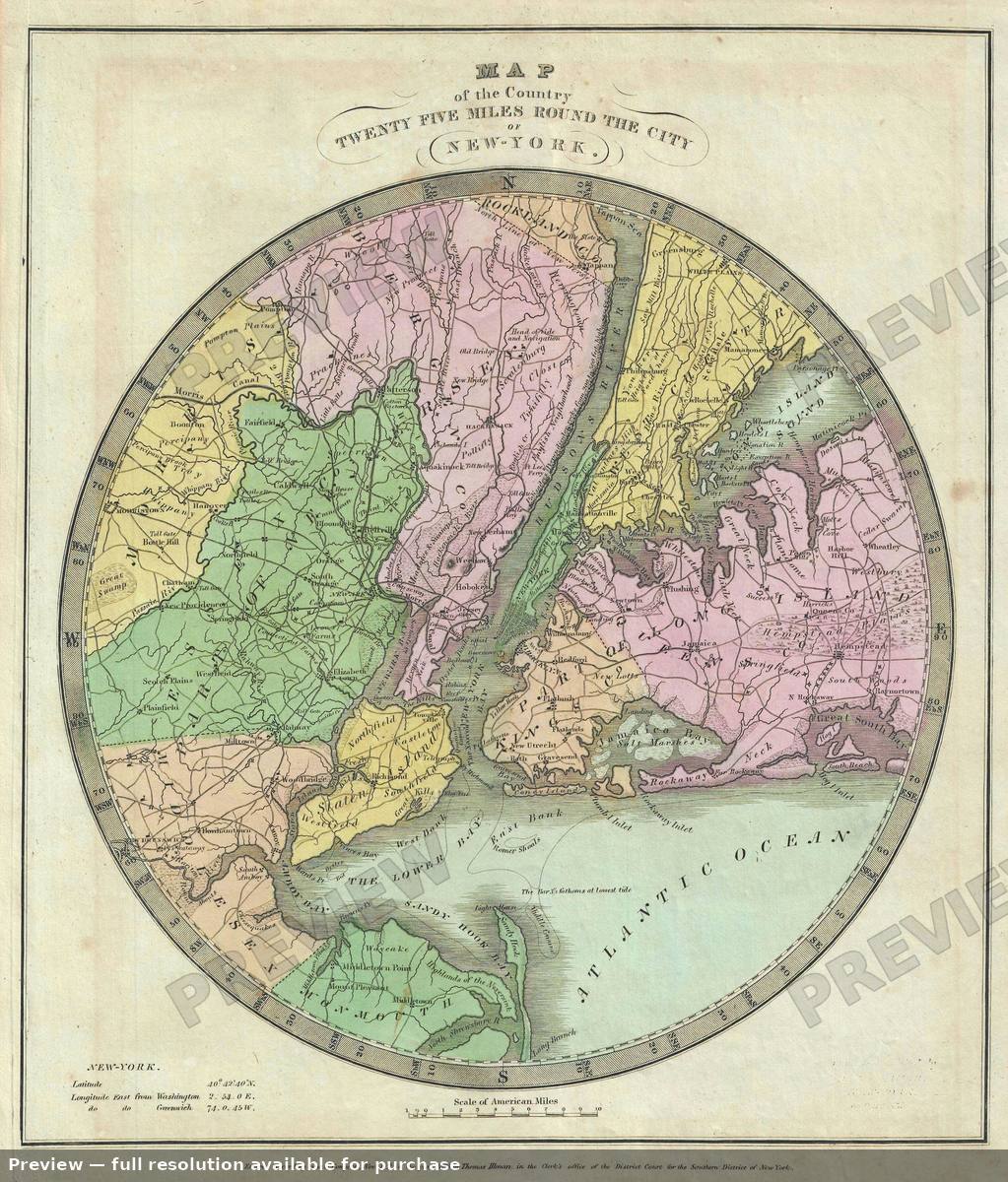 Twenty Five Miles New York, 1835
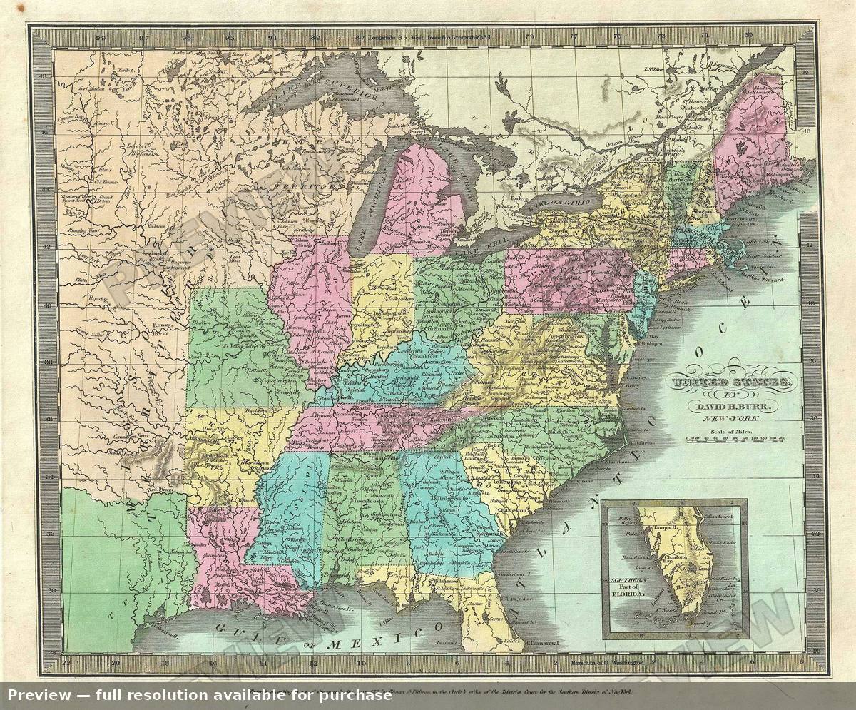 United States, 1835
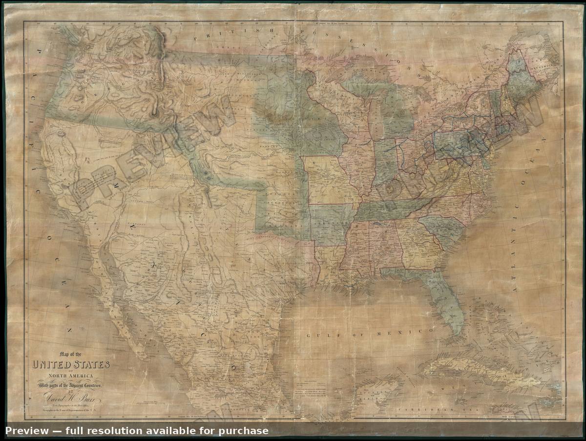 United States, 1839
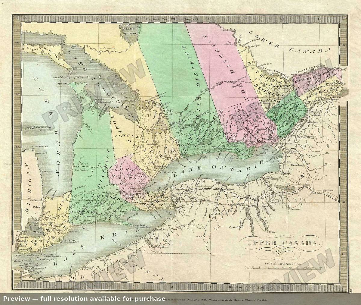 Upper Canada, 1835
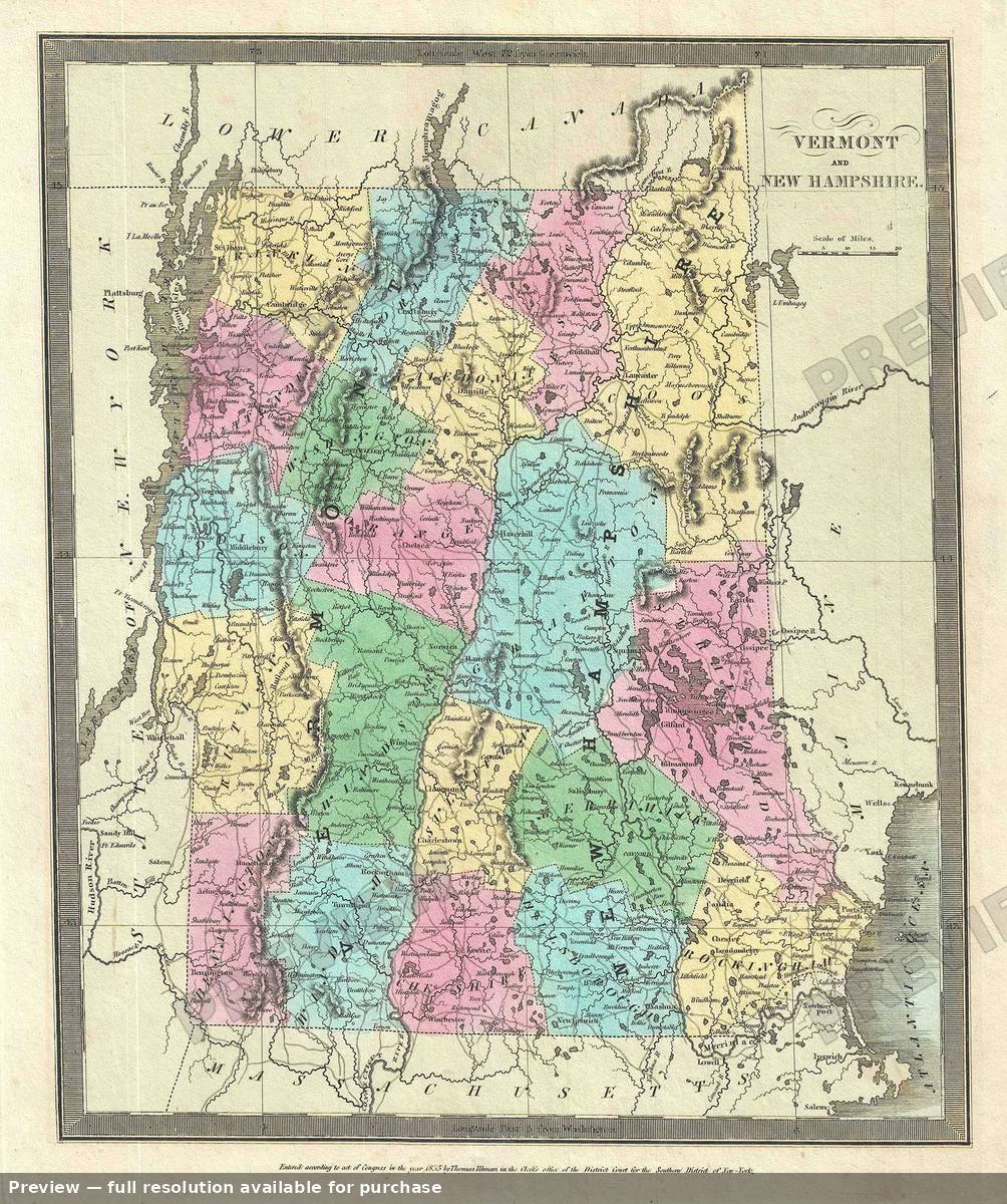 Vermont New Hampshire, 1835
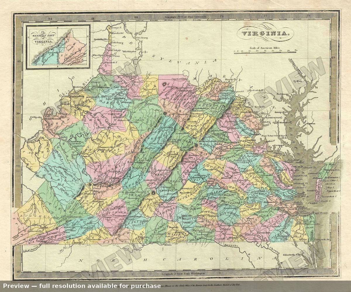 Virginia, 1835
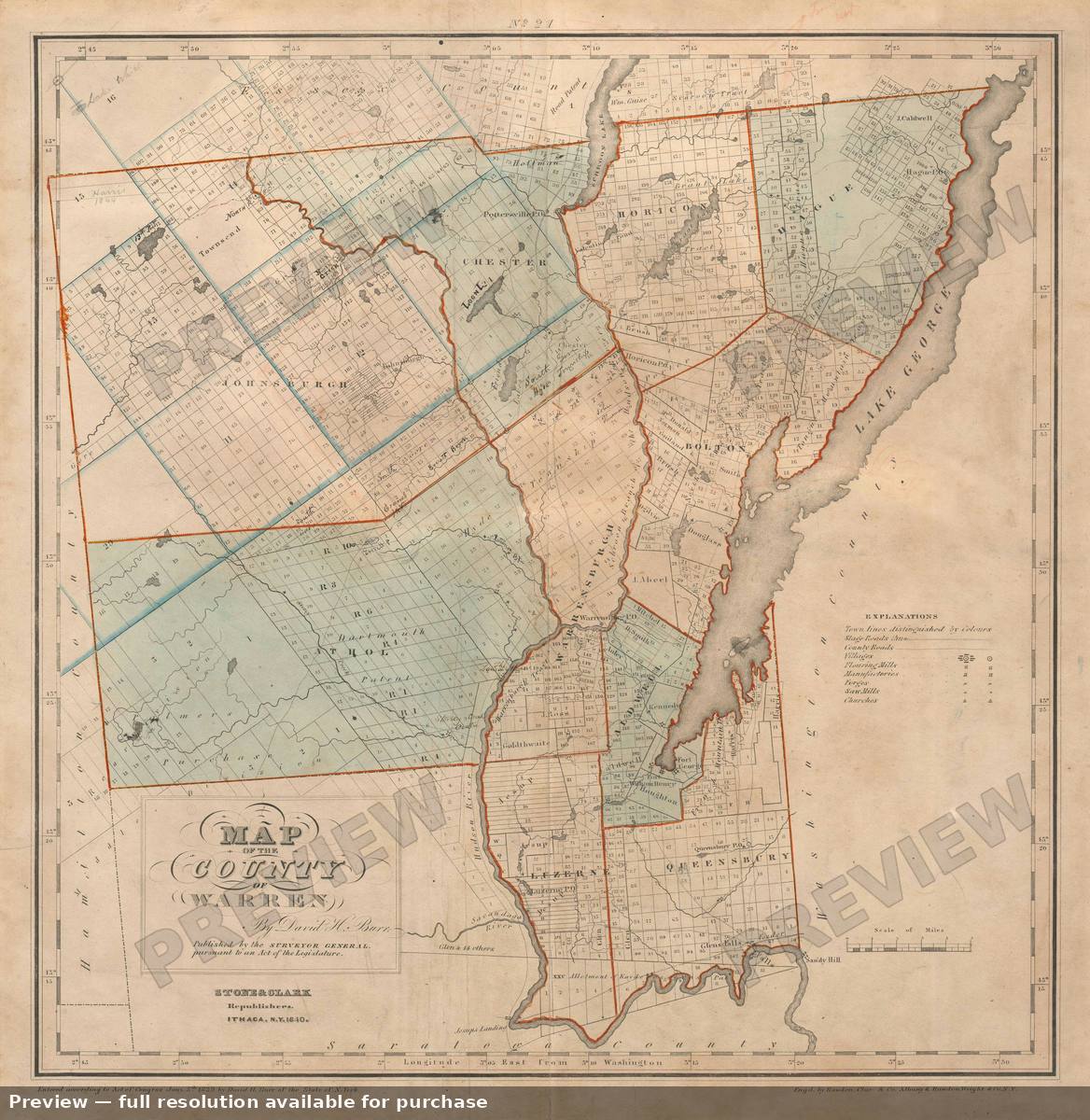 Warren County, 1840
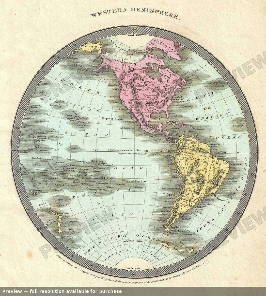 Western Hemisphere, 1835
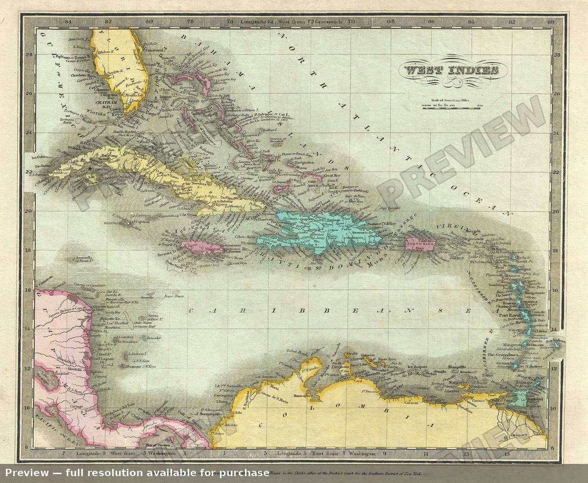 West Indies, 1835
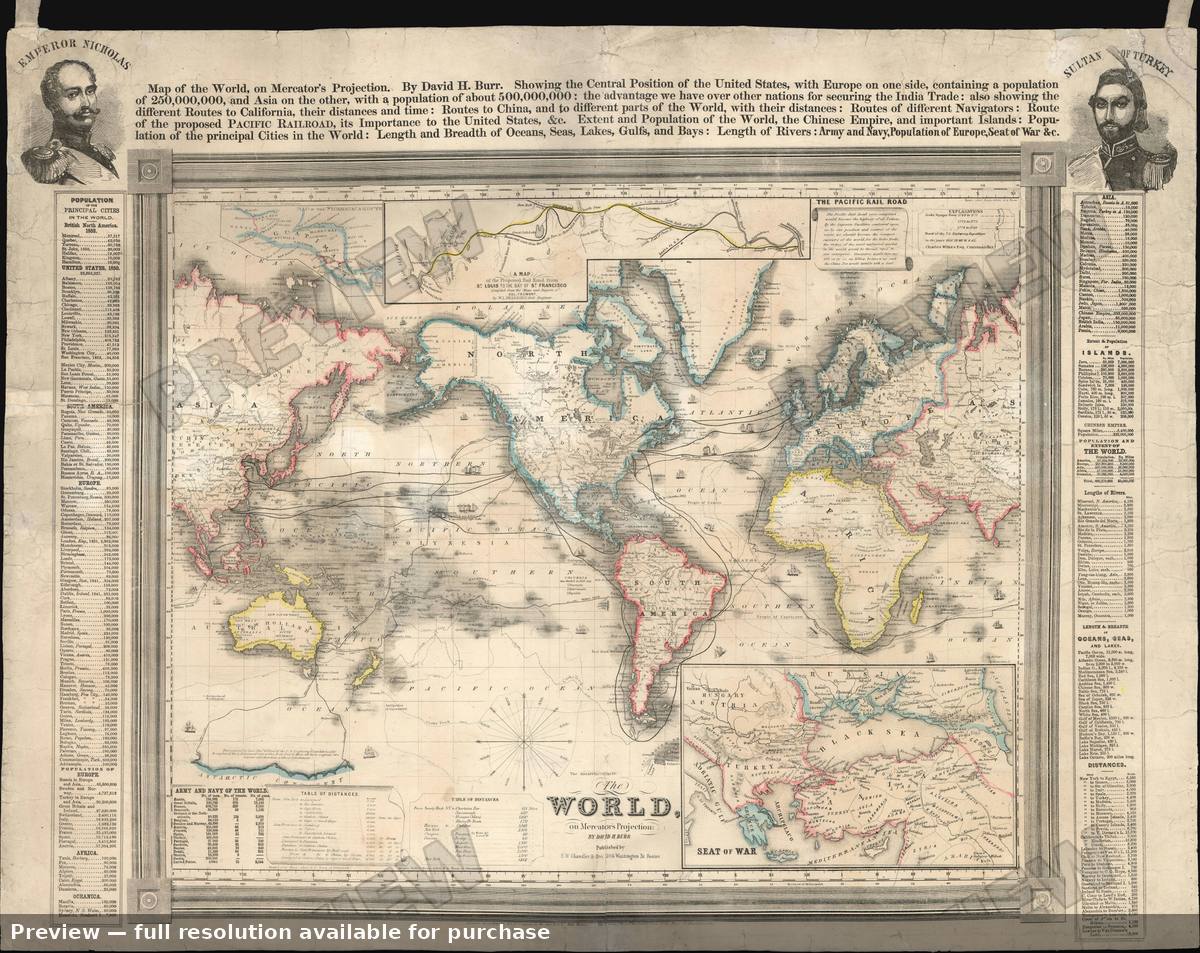 World, 1853