Find the place history remembers
Antique Maps by Admiralty
16 antique maps in the Meridian library. Every map is available as a full-resolution download for $4.99 — the previews below are watermarked and reduced in size.
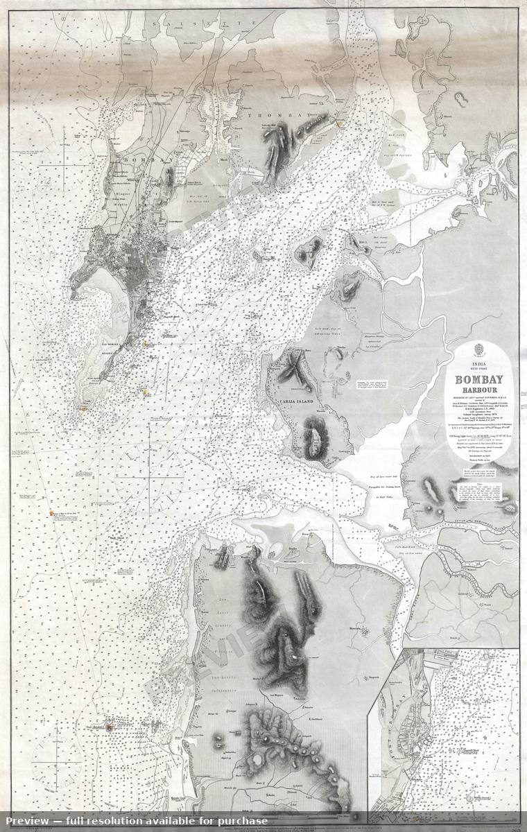 Bombay Harbor, 1879
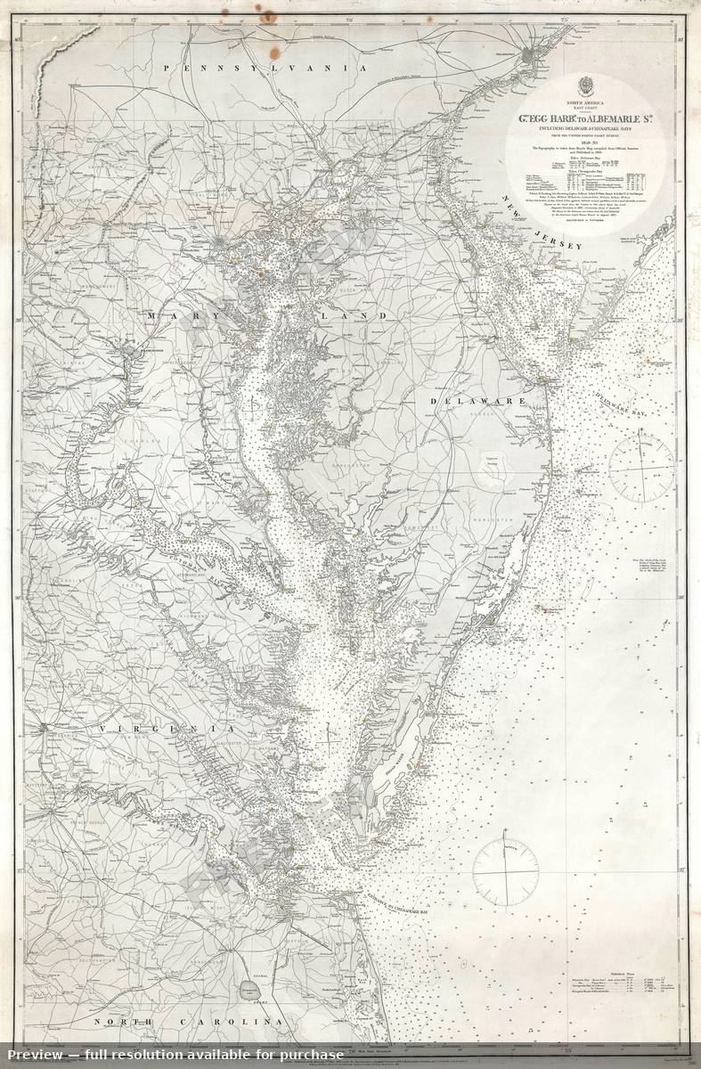 Chesapeake Bay, 1871
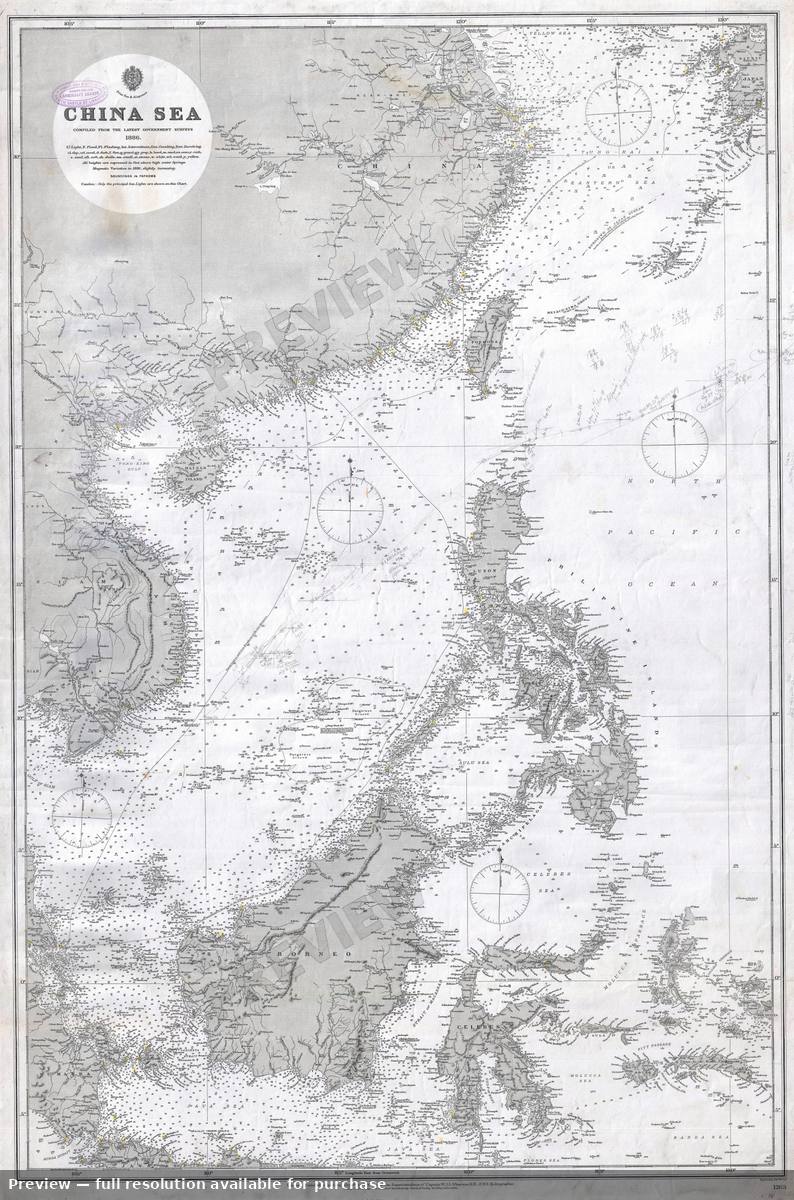 China Sea, 1886
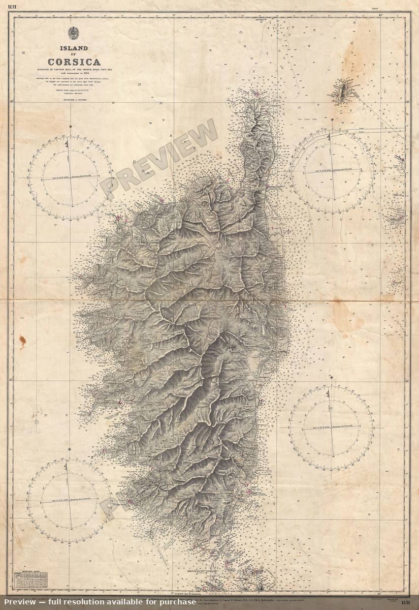 Corsica, 1894
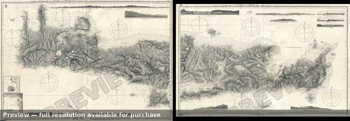 Crete, 1872
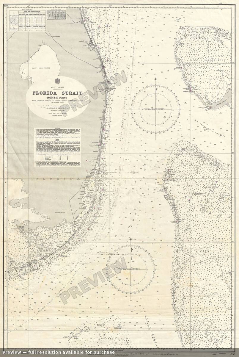 Florida, 1953
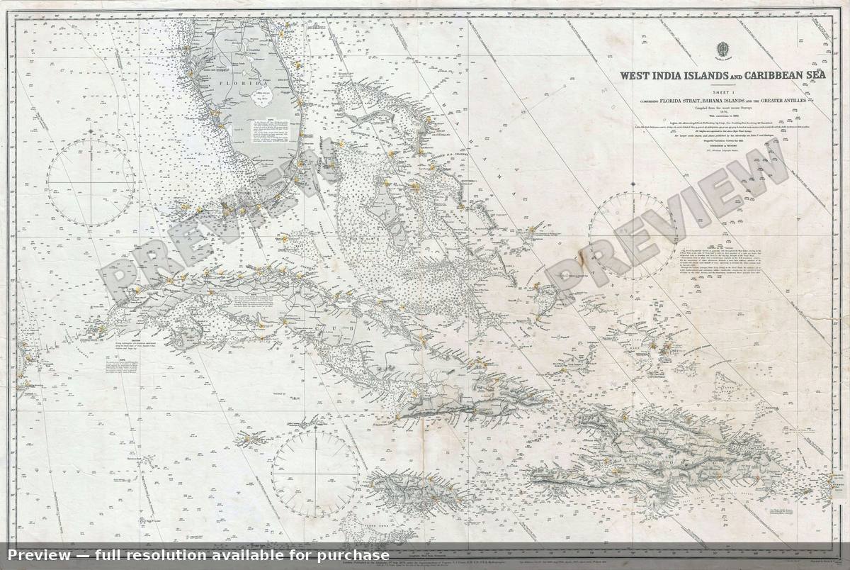 Florida West Indies, 1913
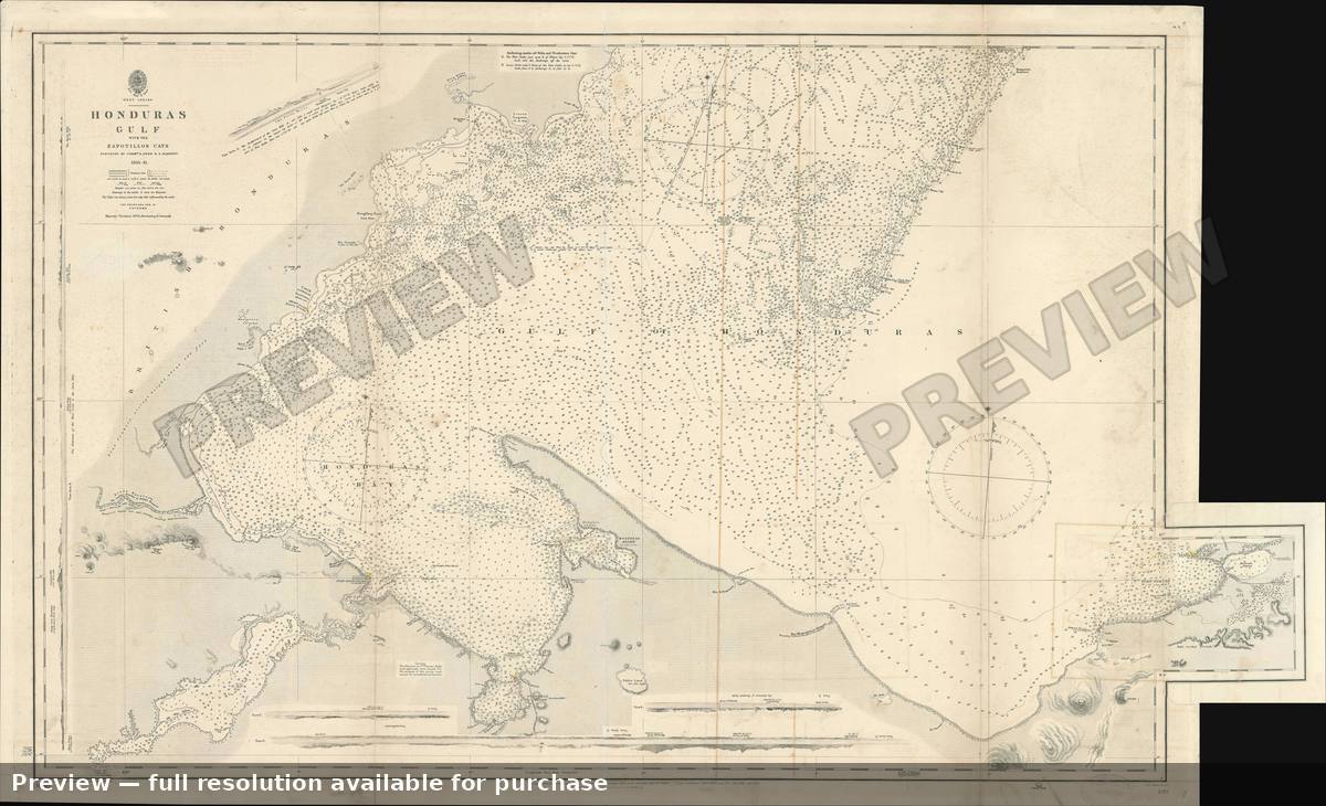 Honduras Gulf, 1899
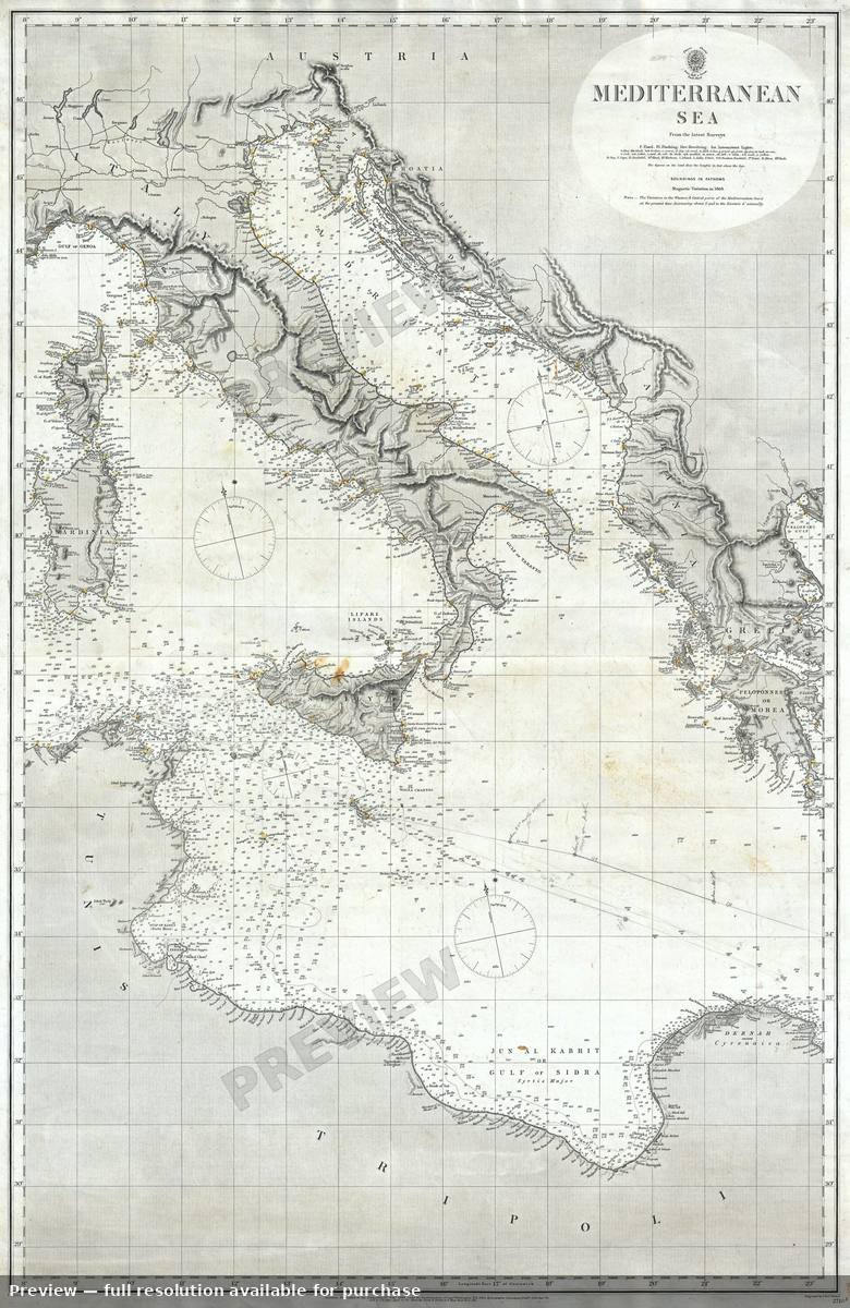 Mediterranean Sea, 1868
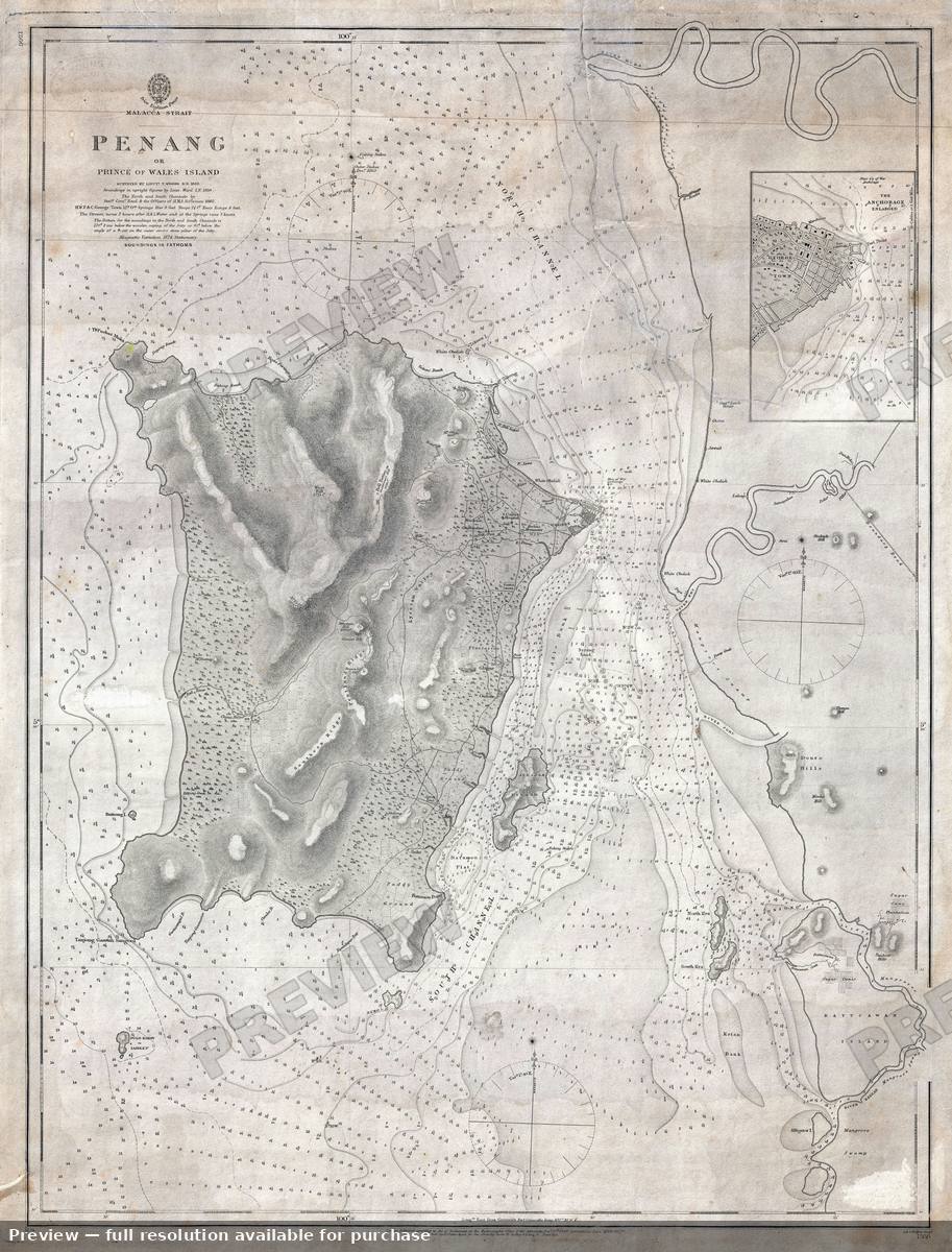 Penangor Princeof Wales Island, 1874
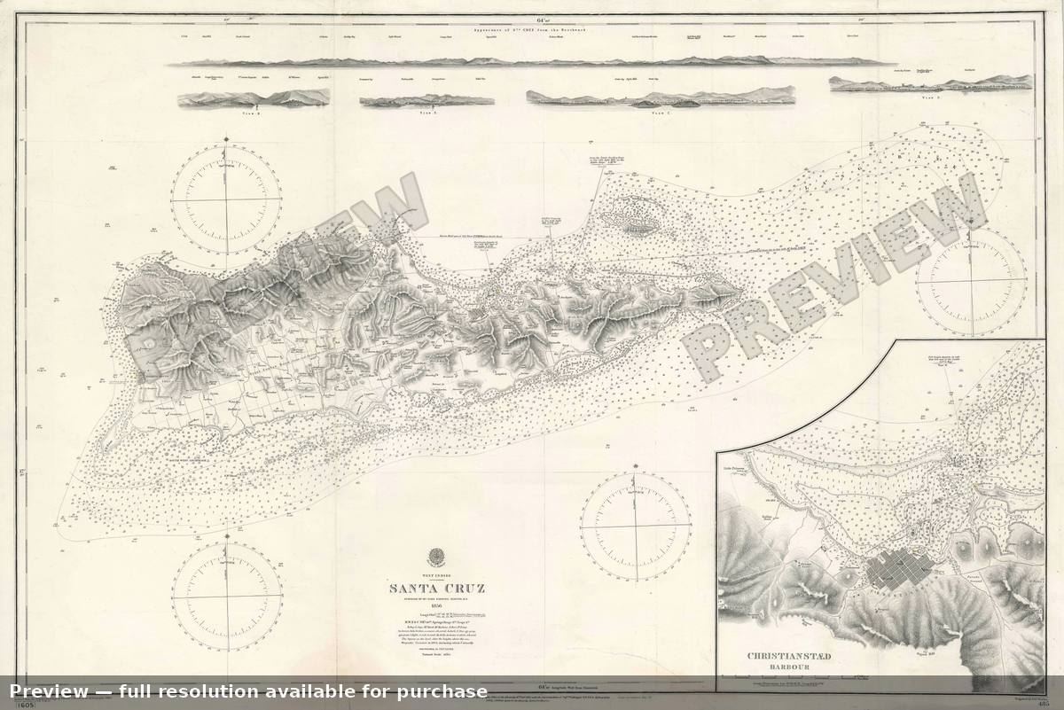 Saint Croix, 1903
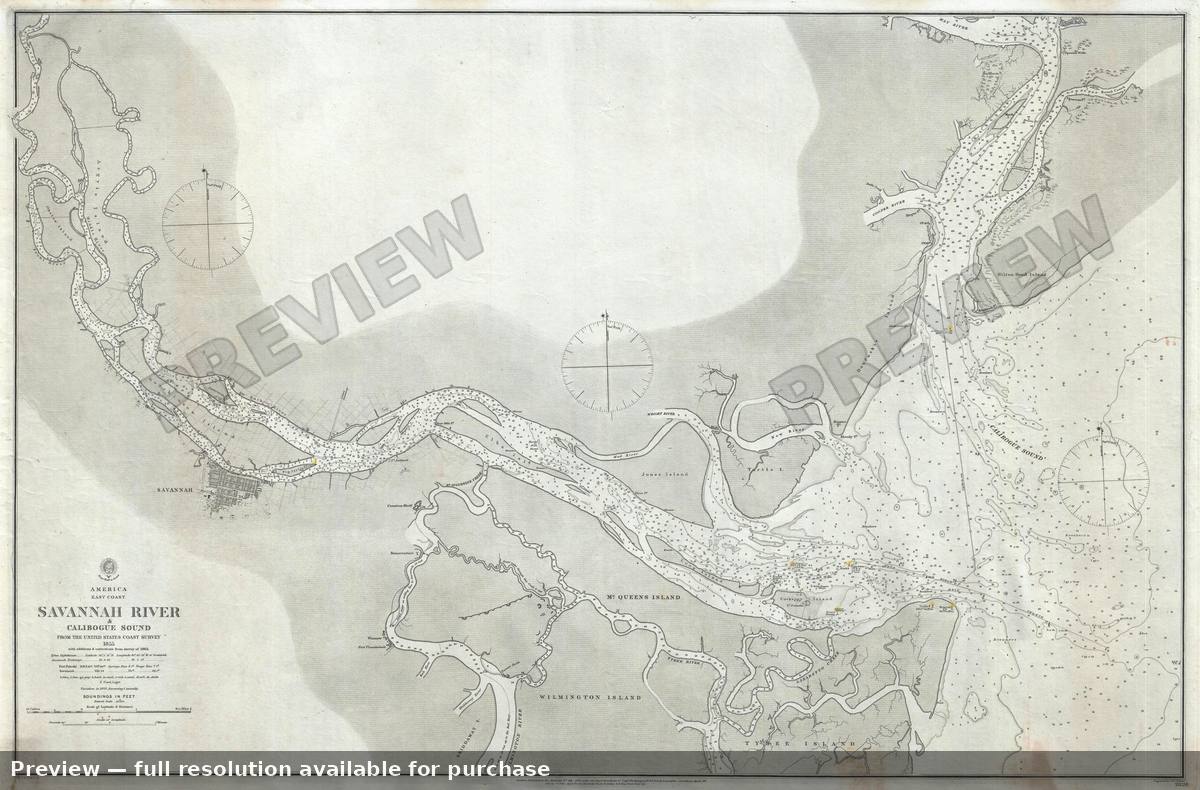 Savannah River Calibogue Sound, 1861
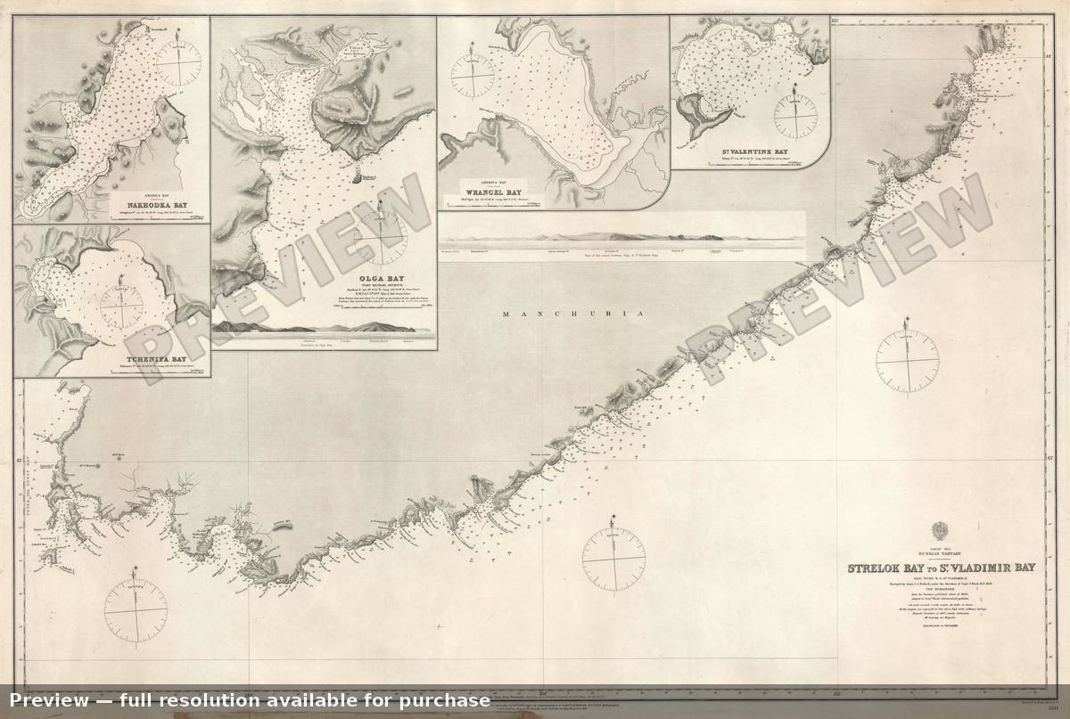 St Vladimir Bay, 1868
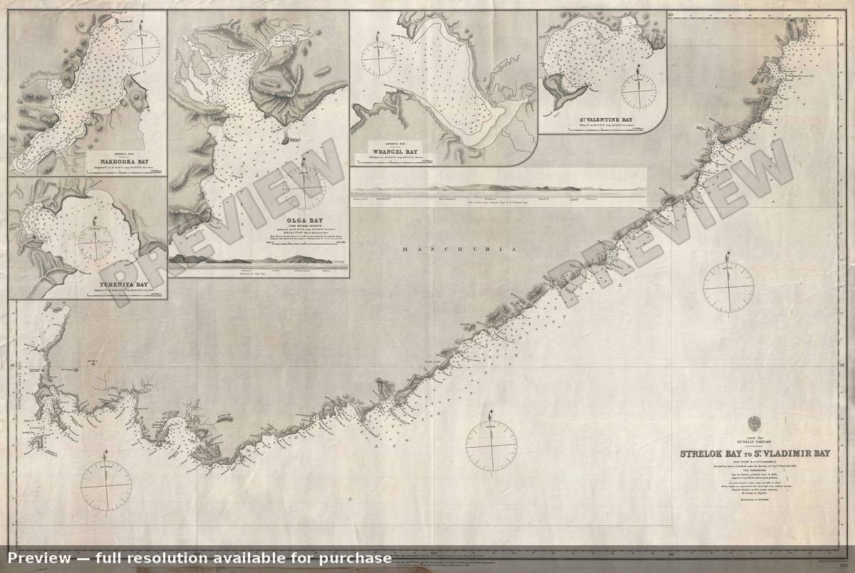 St Vladimir Bay, 1868
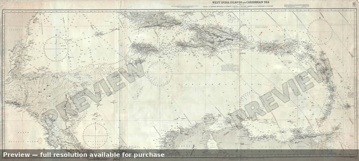 West Indies, 1913
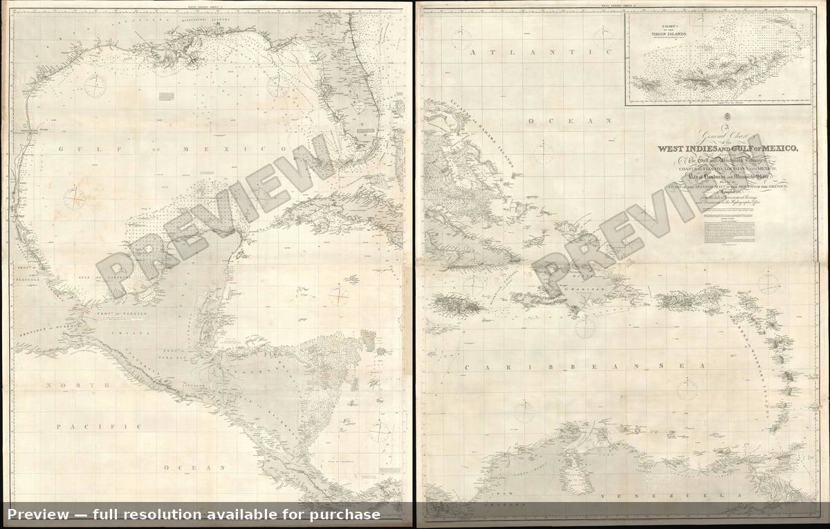 West Indies Gulf, 1875